Title: Ionian Pass (Unofficial)
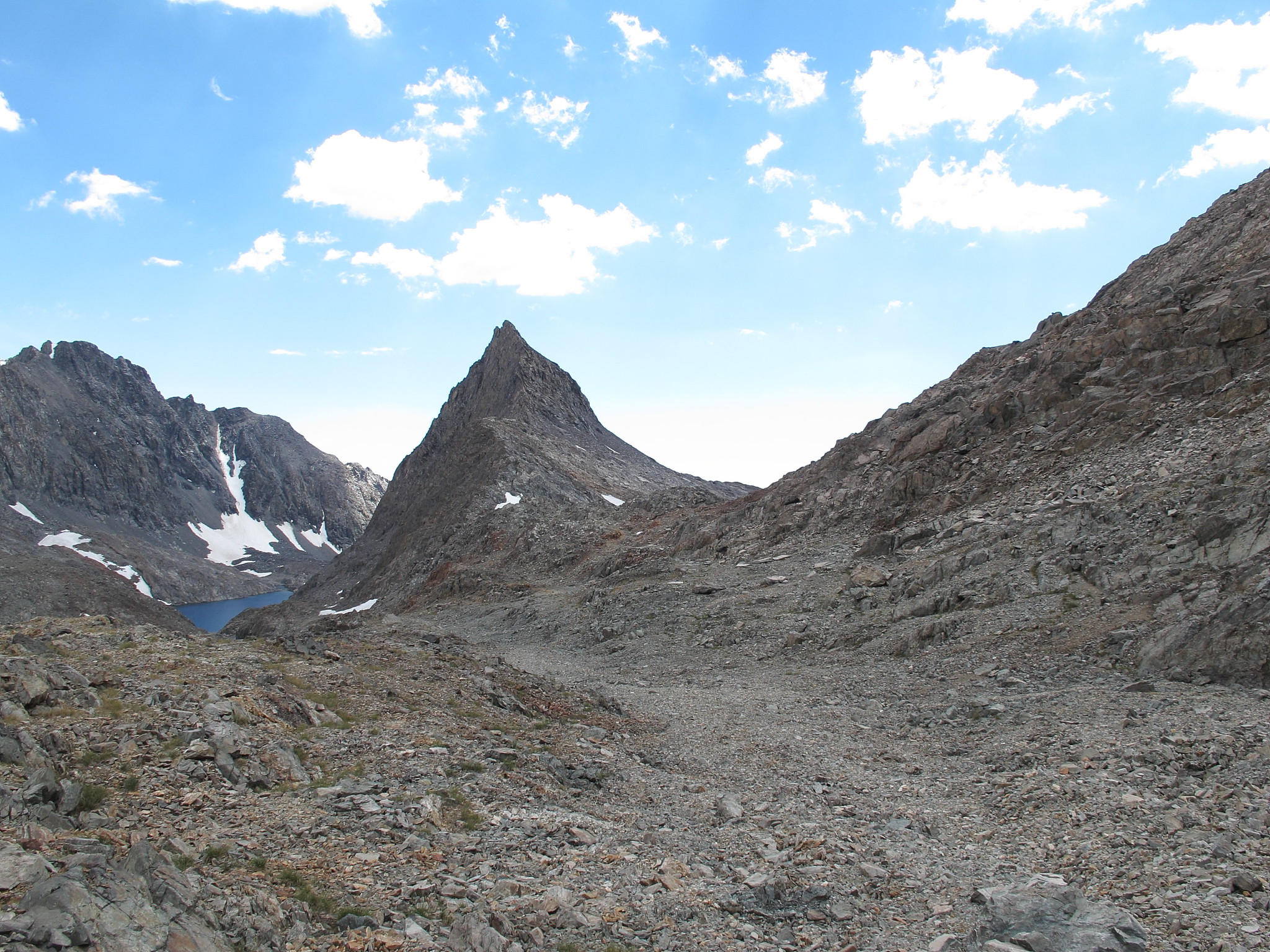
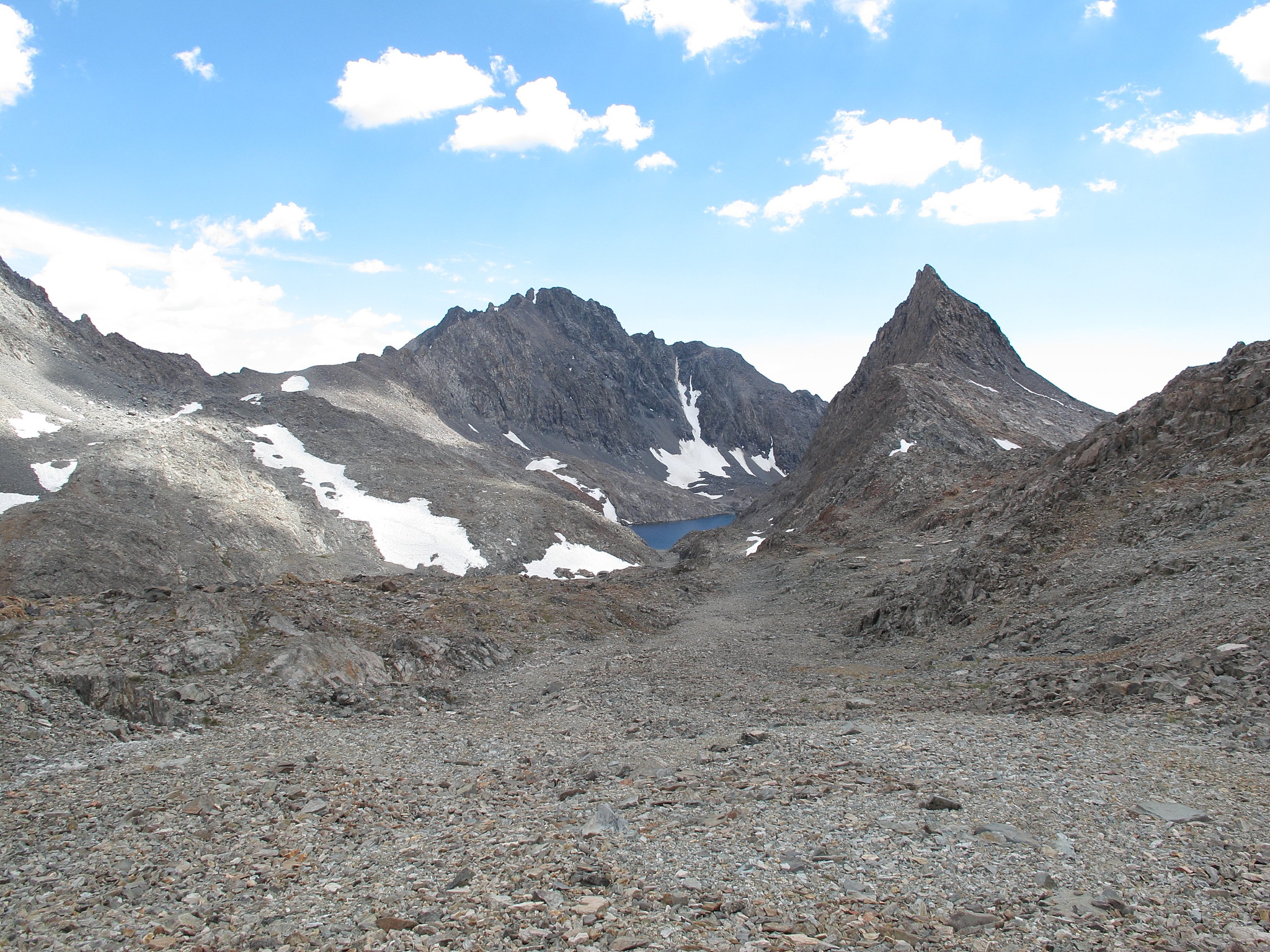
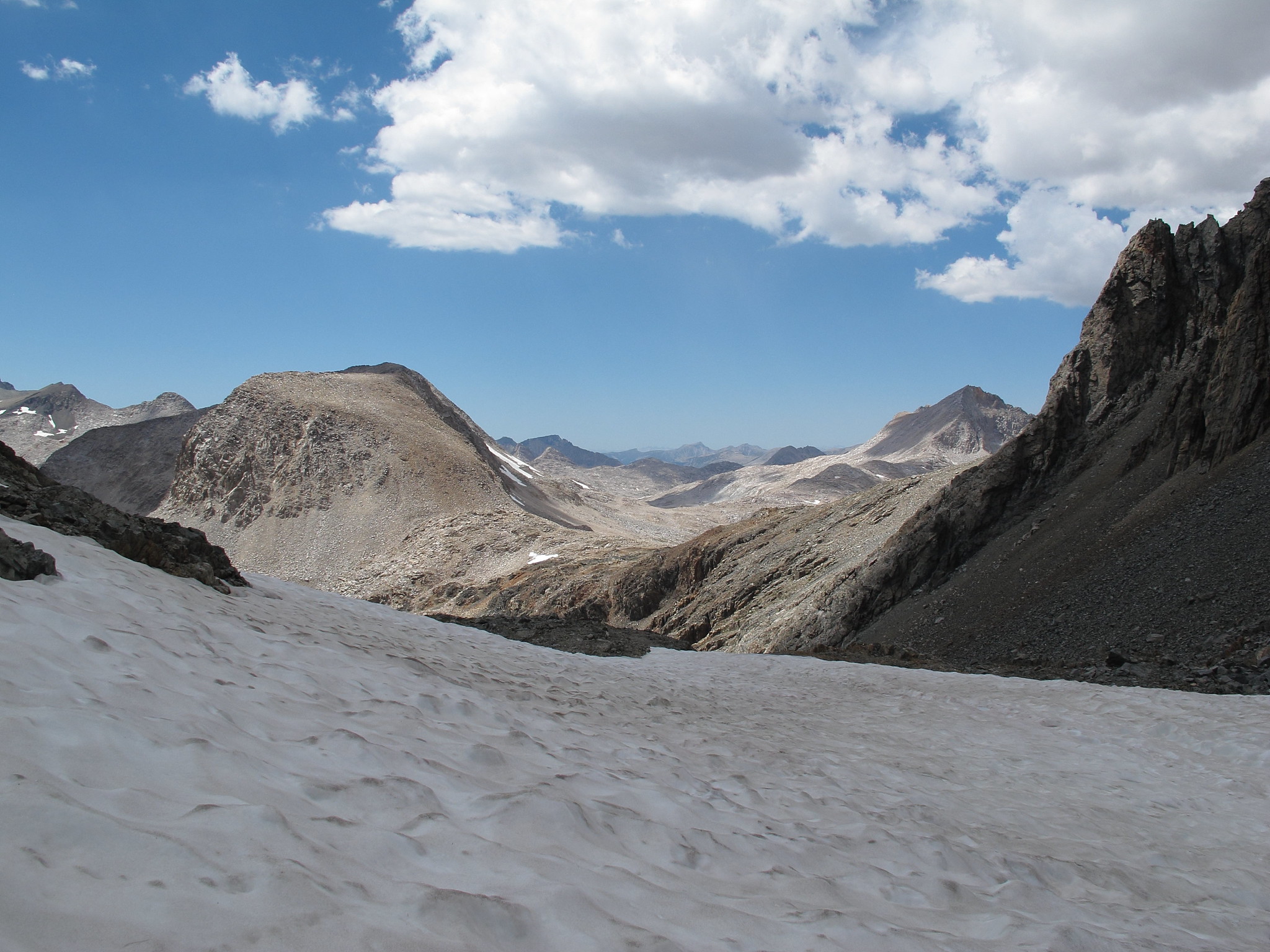
GENERAL OVERVIEW:This pass leads from Lake 11,828 which is Northeast of Charybdis in Ionian Basin into the drainage basin directly to the East that is South of Black Giant.
CLASS/DIFFICULTY: Class 2
LOCATION: Kings Canyon National Park East of Lake 11,828. HST Map
ELEVATION: 12,621
USGS TOPO MAP (7.5'): Mt. Goddard
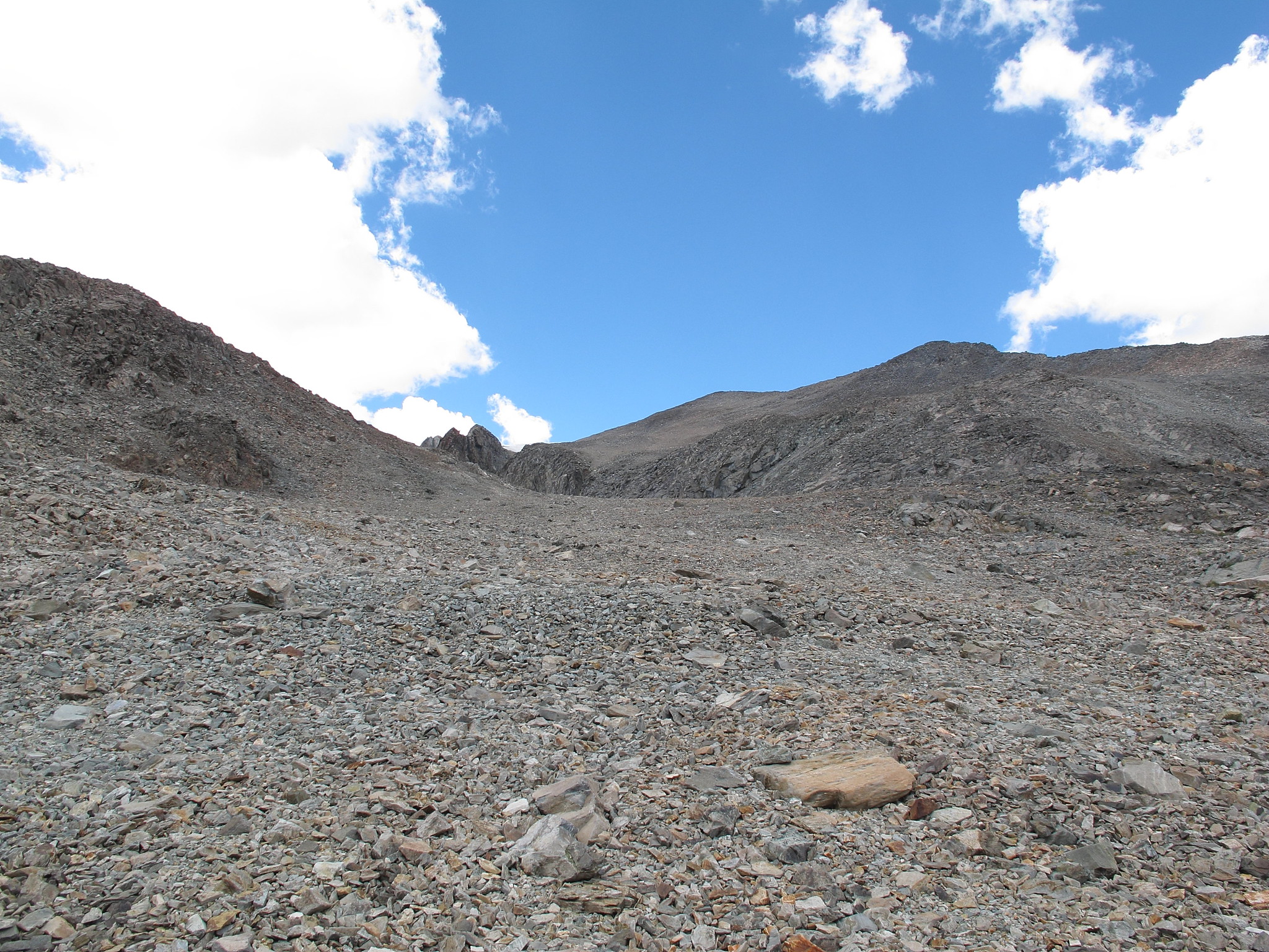
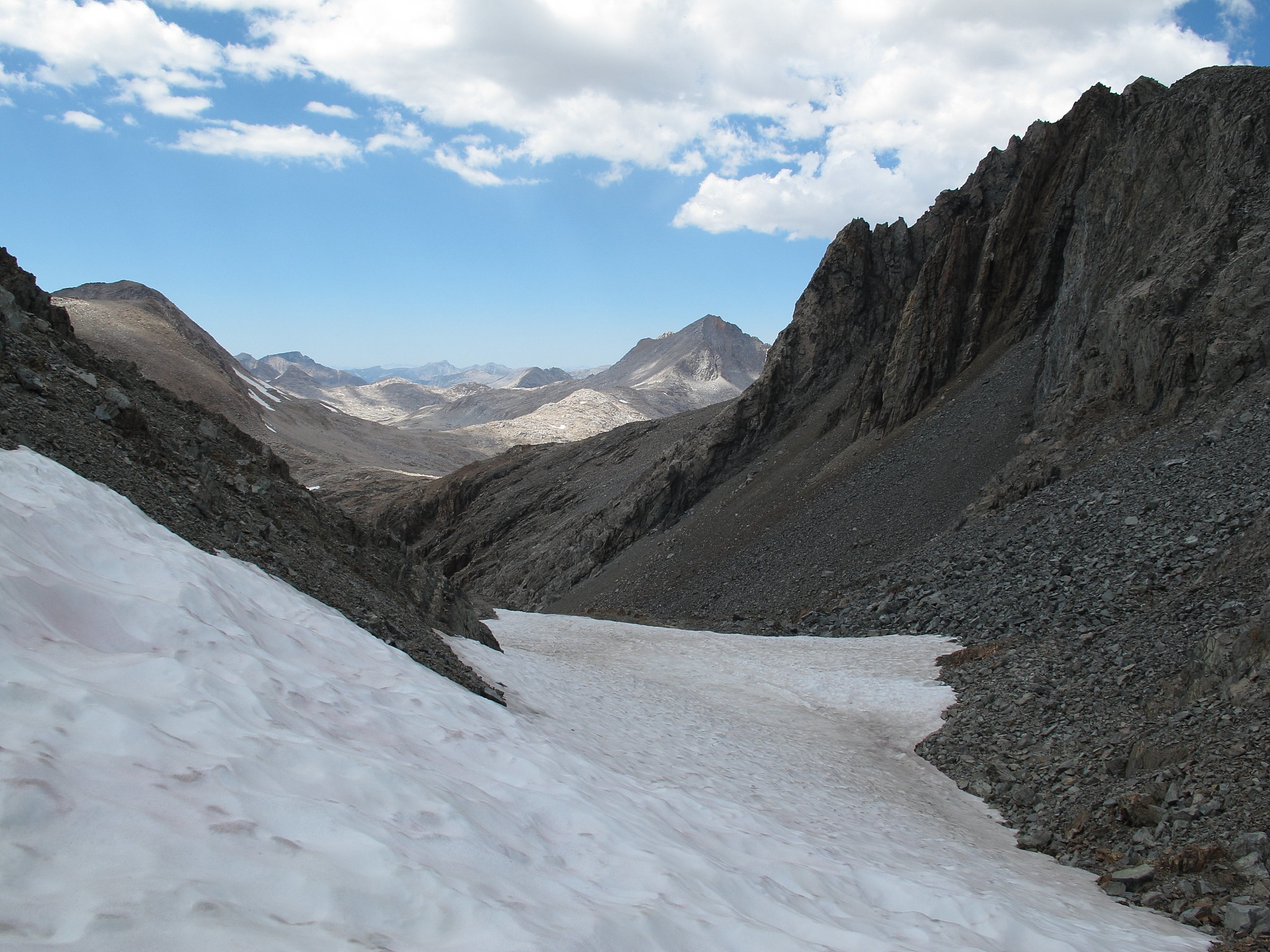
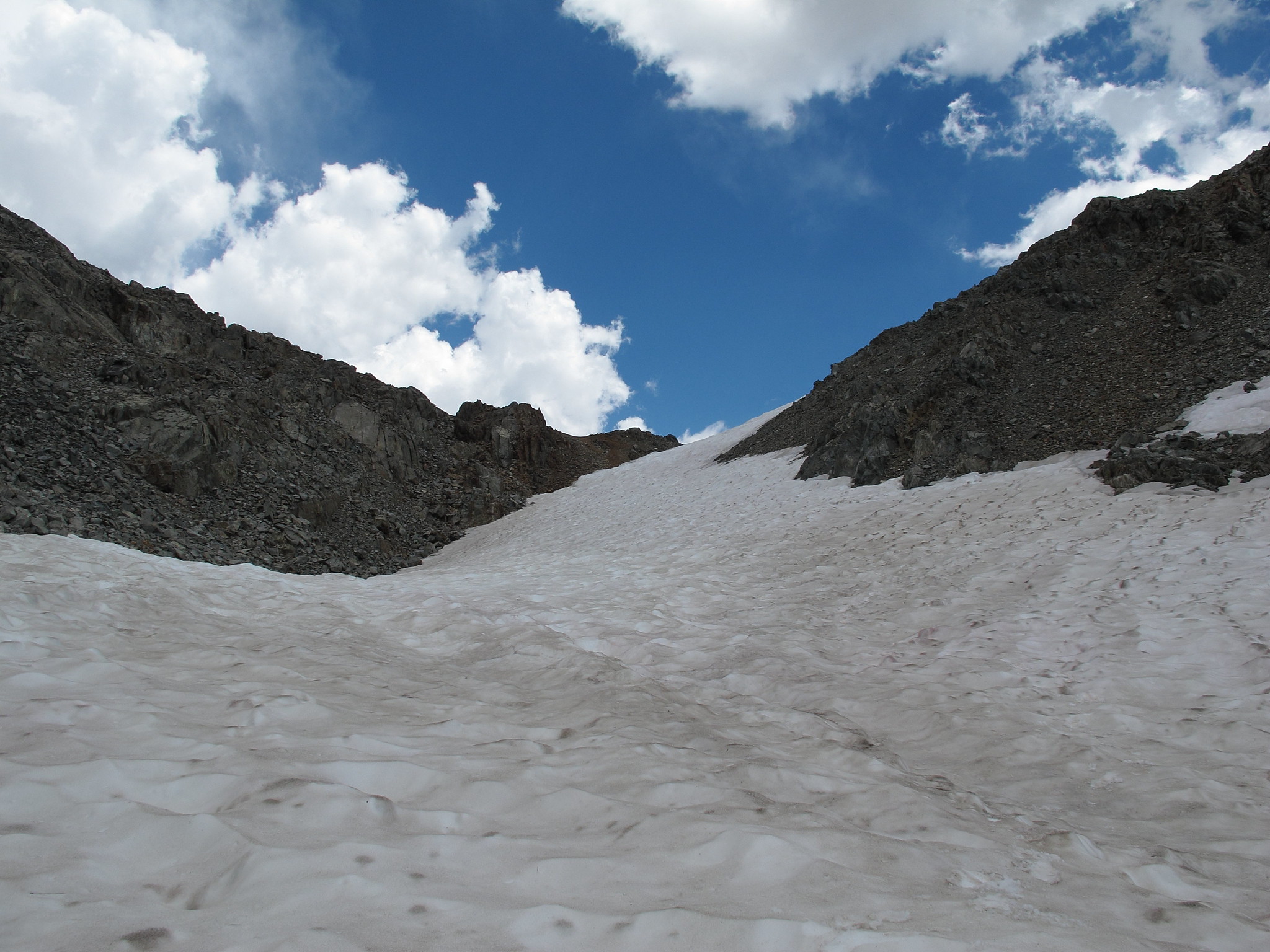
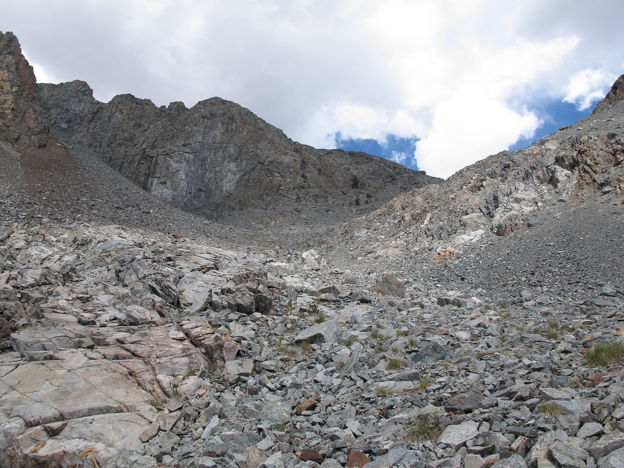
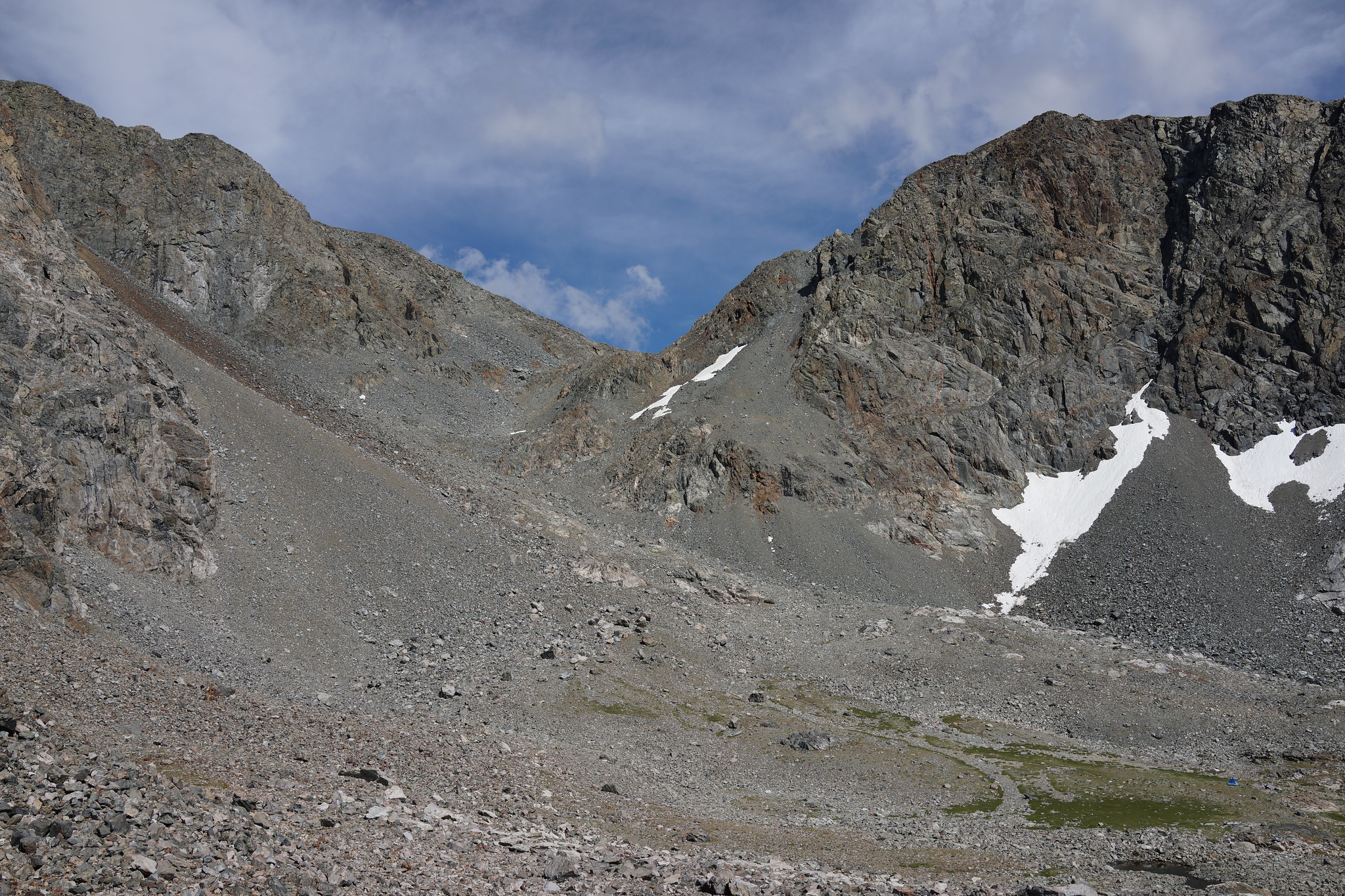
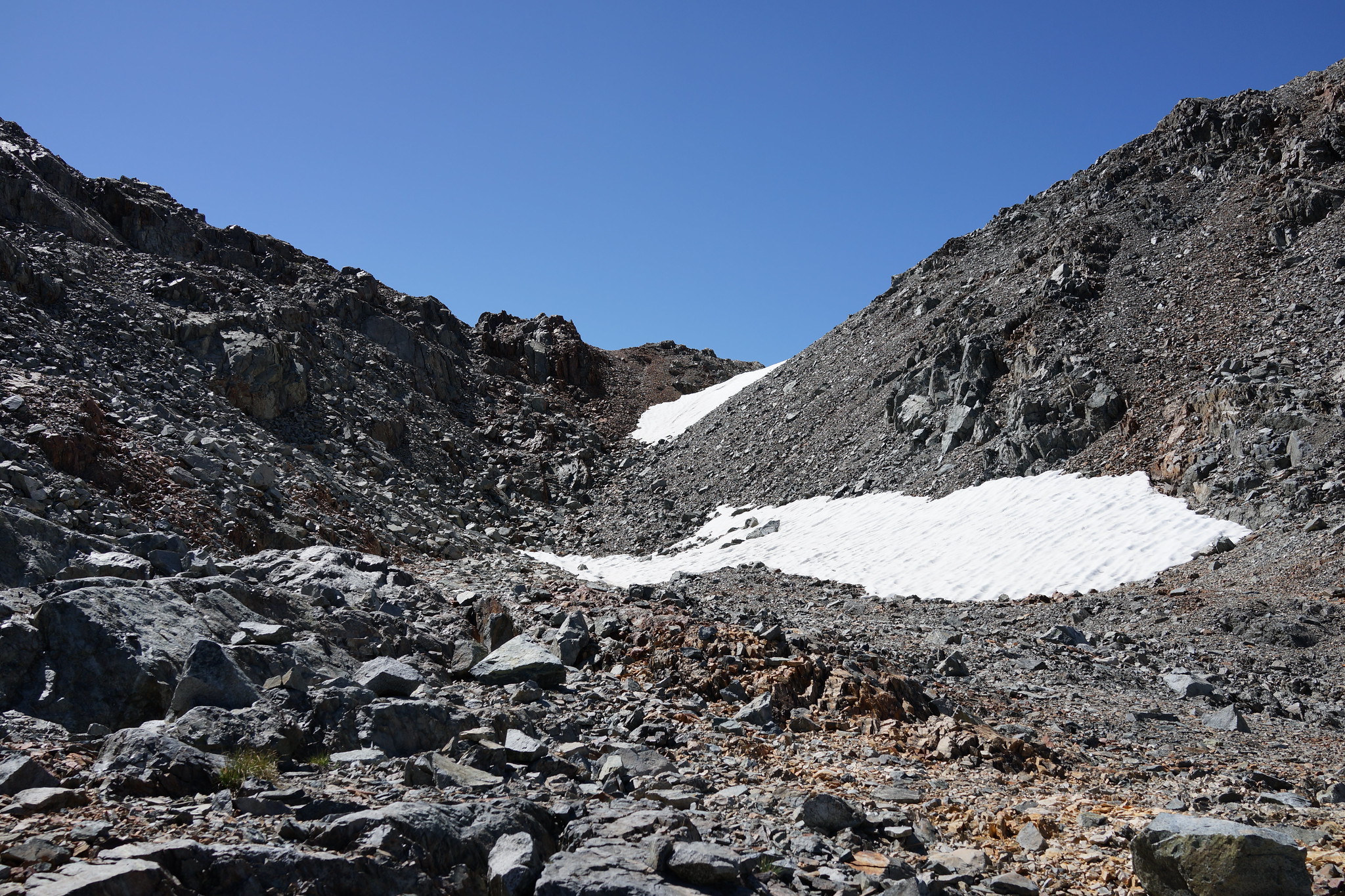
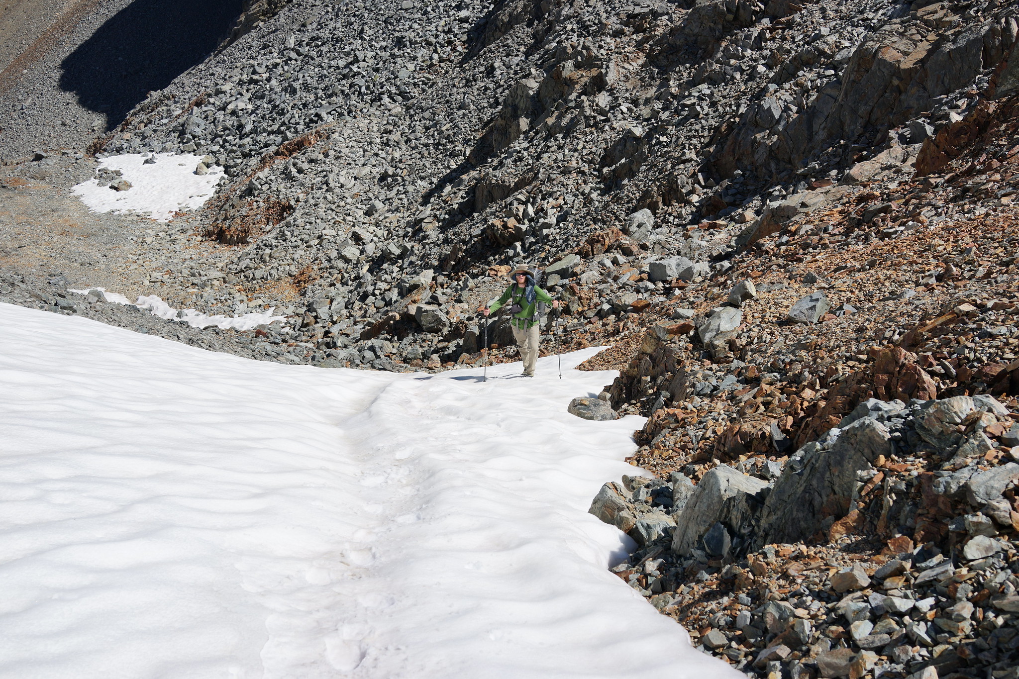
ROUTE DESCRIPTION: The North Side of this pass is relatively easy with very stable rock that is mostly talus to small small boulders. There is a permanent snow field at the very top which was very short and the angle is not steep.
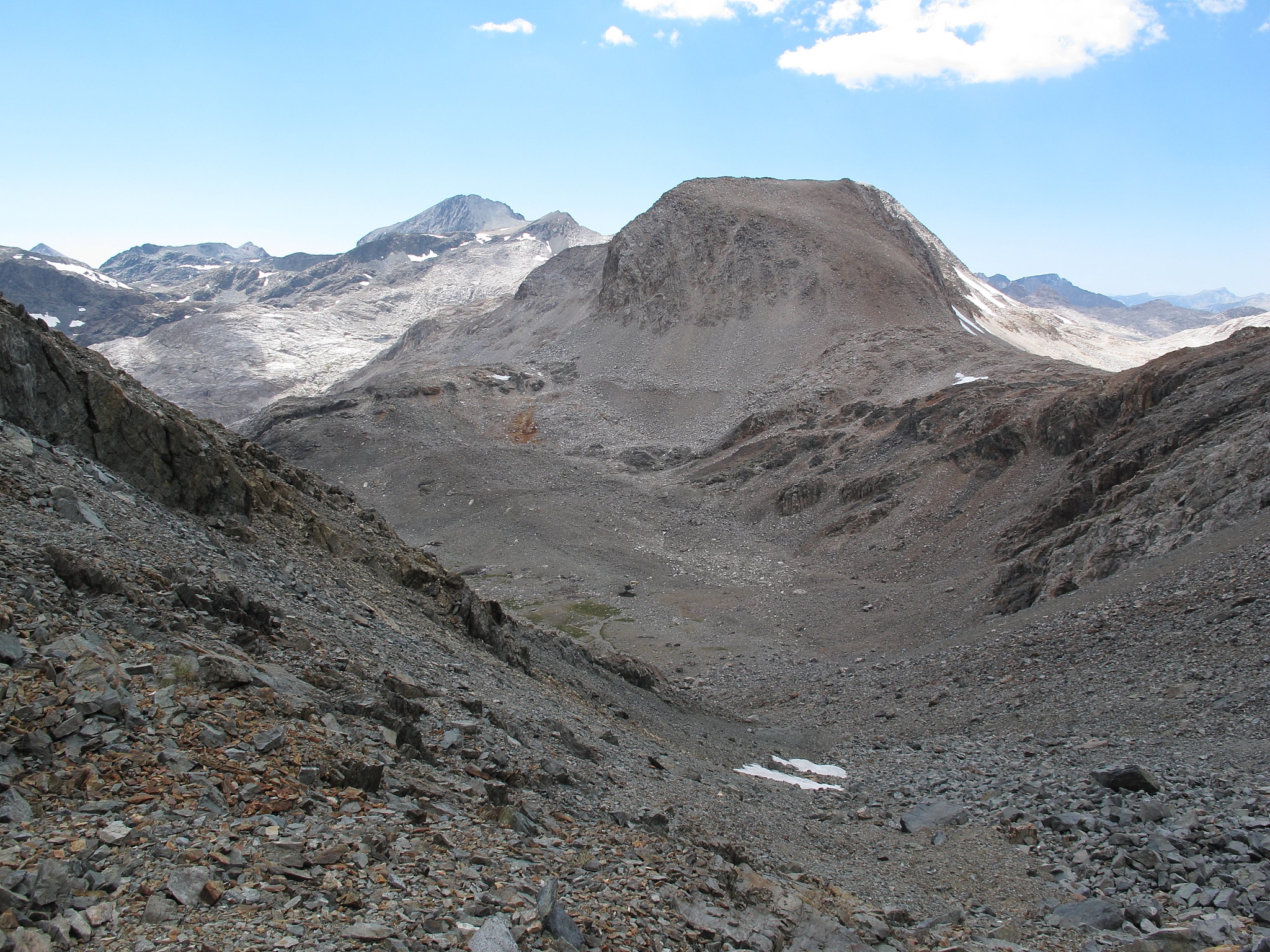
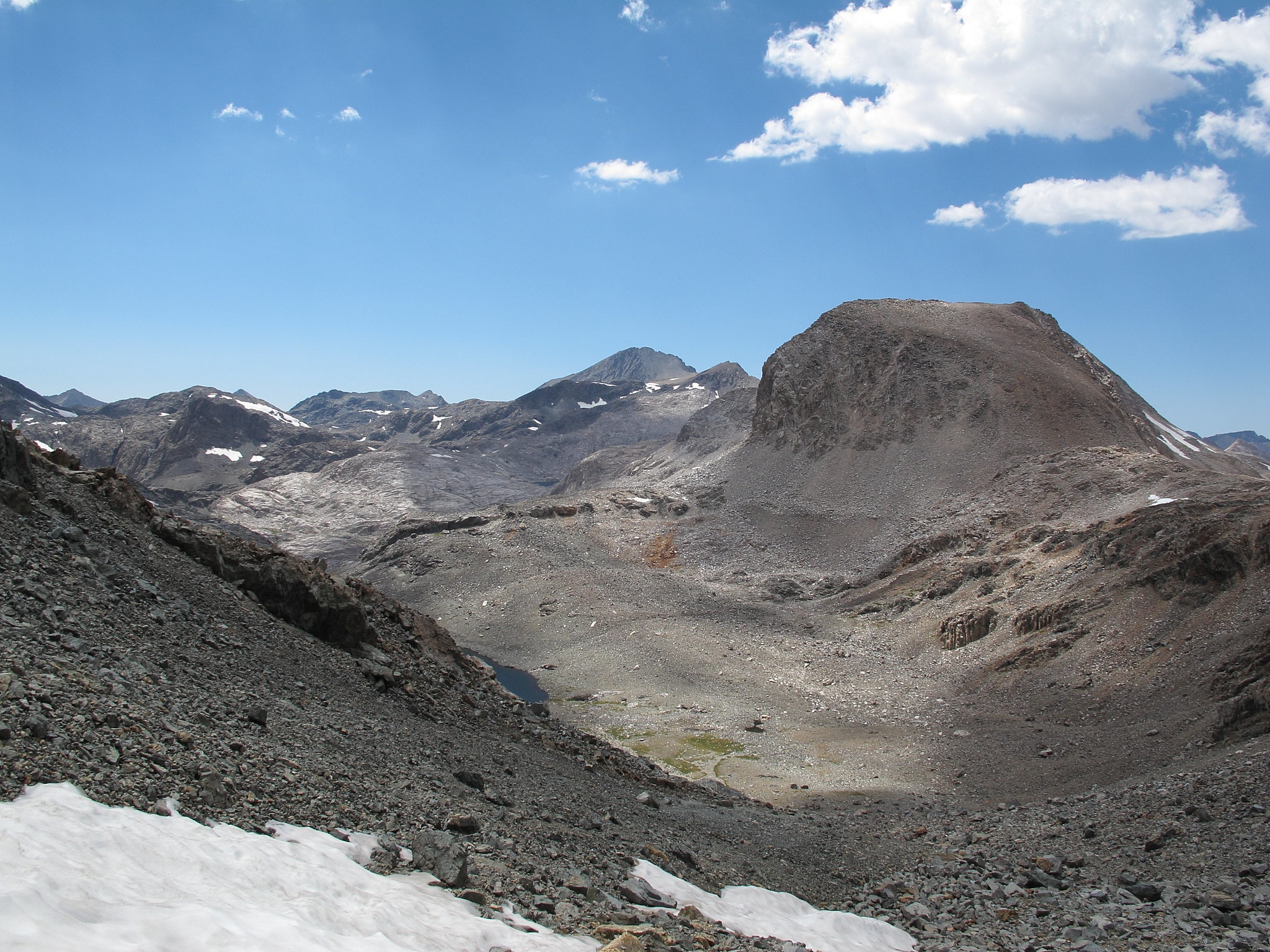
The South side of this pass is even easier and is literally a Class 1 slope that is interspersed with small rocks and grass.
Ionian Pass (Unofficial)
- alpinemike
- Topix Expert
- Posts: 437
- Joined: Thu Oct 13, 2011 12:00 pm
- Experience: Level 4 Explorer
- Location: Reno, NV
- Contact:
Ionian Pass (Unofficial)
Never put off a backpacking trip for tomorrow, if you can do it today...
Alpine Mike-
http://mikhailkorotkinphotography.com/" onclick="window.open(this.href);return false;
Alpine Mike-
http://mikhailkorotkinphotography.com/" onclick="window.open(this.href);return false;
- RoguePhotonic
- Topix Fanatic
- Posts: 1695
- Joined: Thu Mar 24, 2011 9:52 am
- Experience: Level 4 Explorer
- Location: Bakersfield CA
- Contact:
Who is online
Users browsing this forum: No registered users and 1 guest

