King Col
Posted: Mon Oct 22, 2012 3:28 pm
TITLE: King Col
GENERAL OVERVIEW: This pass leads between Gardiner Creek and an unnamed basin West of the King Spur.
CLASS/DIFFICULTY: Class 2
LOCATION: Kings Canyon National Park along the far Western ridge of Mt. Clarence King
ELEVATION: 11,700
USGS TOPO MAP (7.5'): Mount Clarence King HST Map
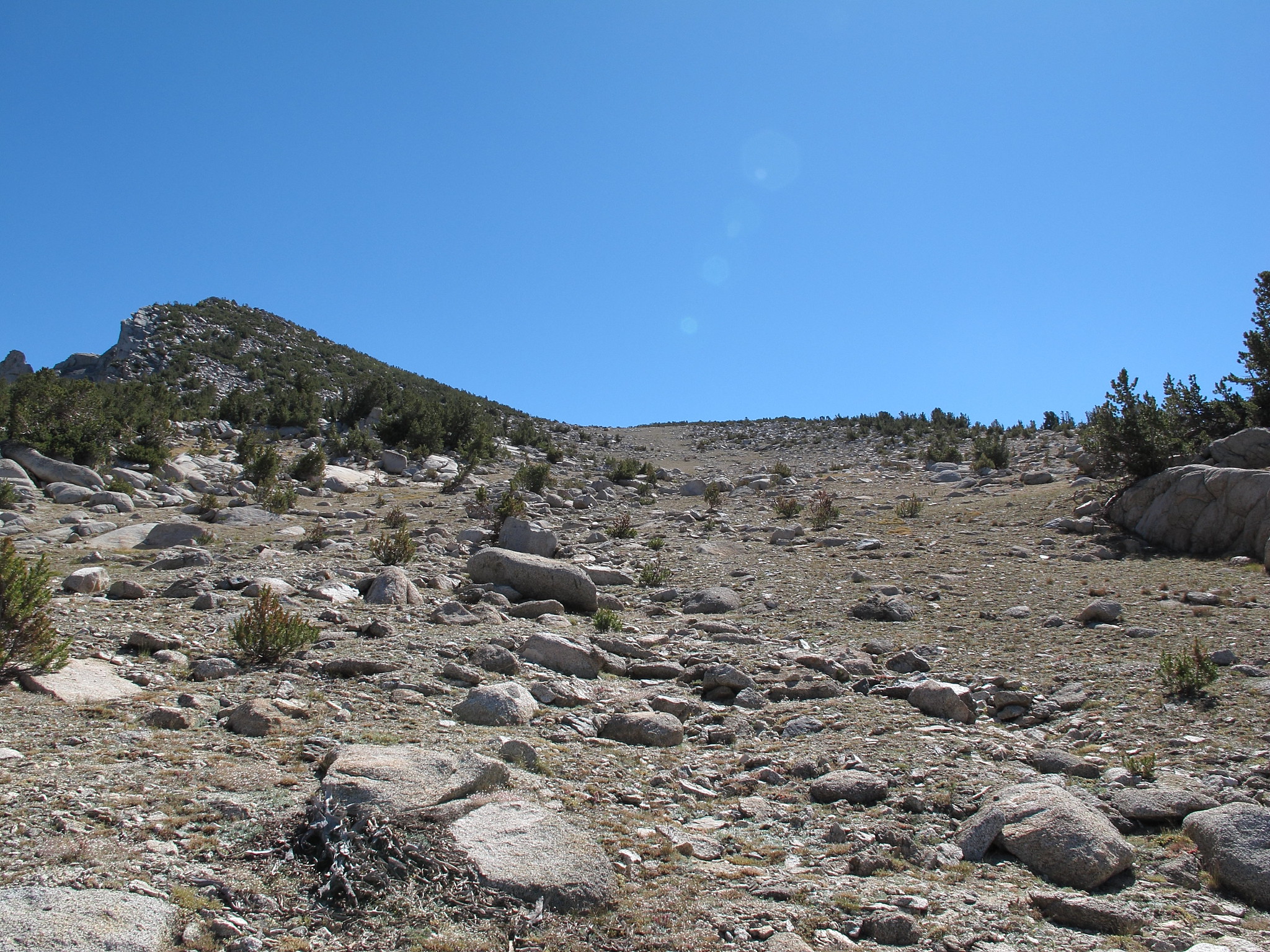
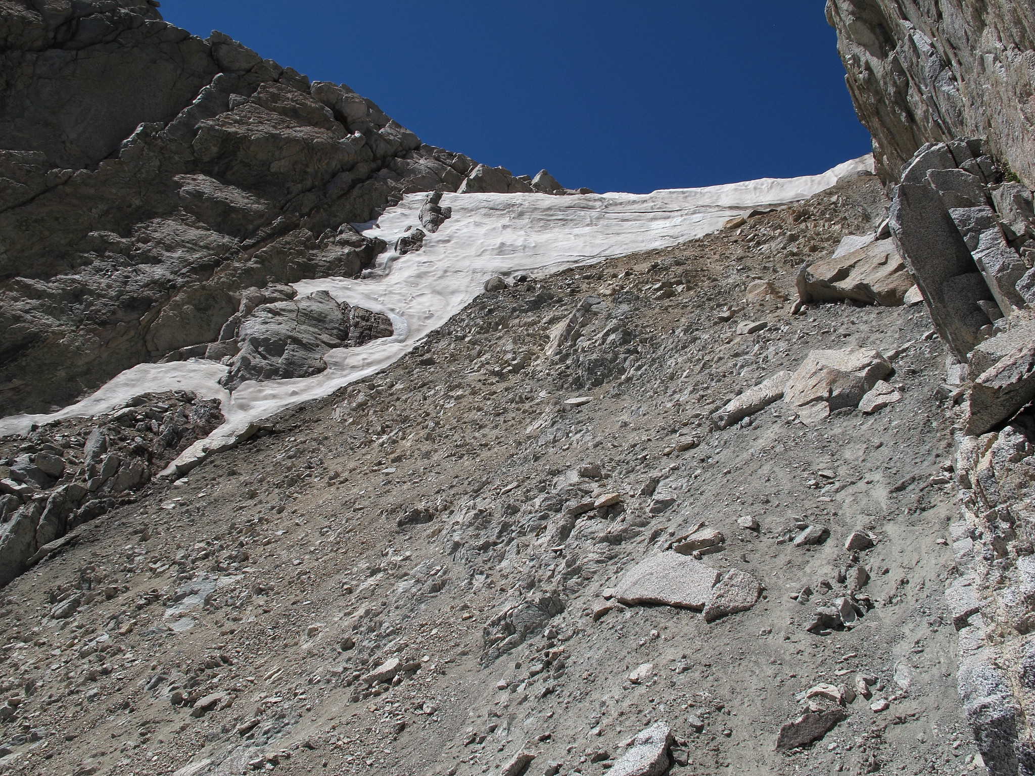
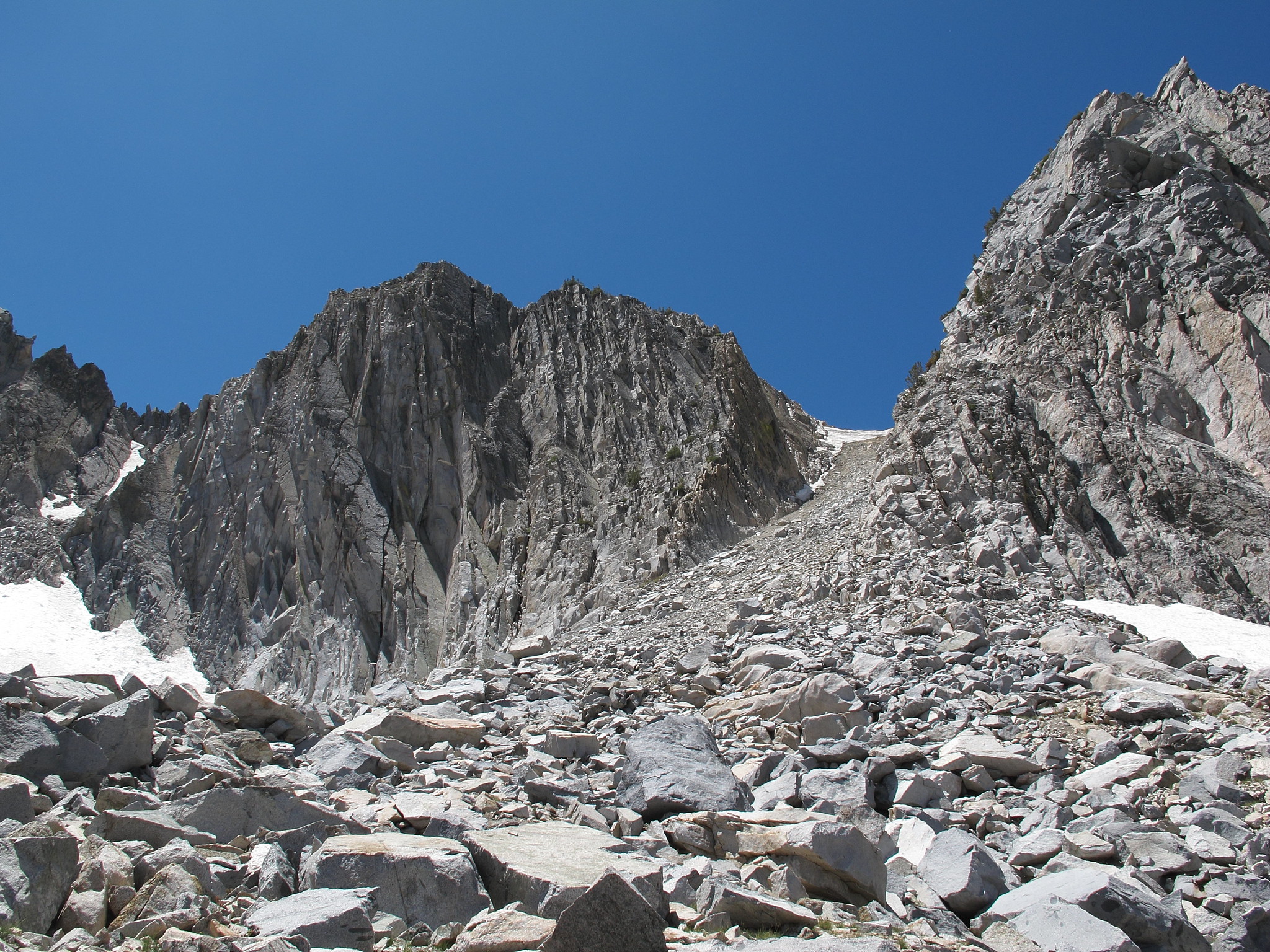
ROUTE DESCRIPTION: From Gardiner Creek you will begin up a steep section of hill side that has the option of either taking steep grass slopes or class 3 rock faces. Once you reach the top of this the grade levels out significantly as you make the final climb on class 1 terrain.
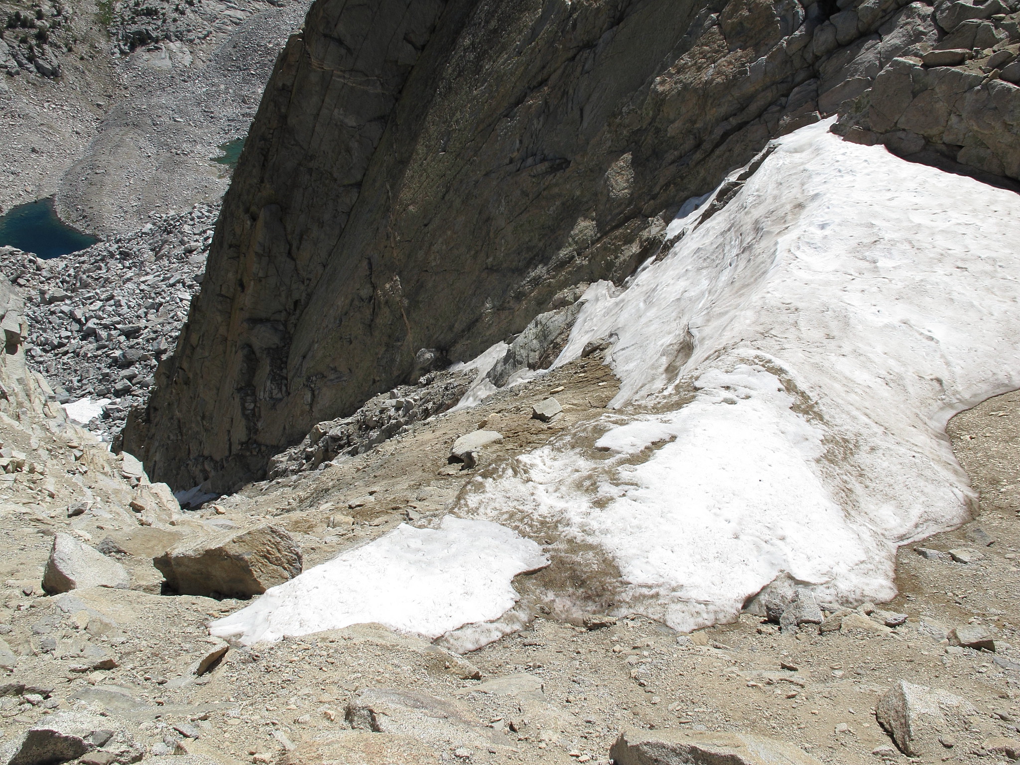
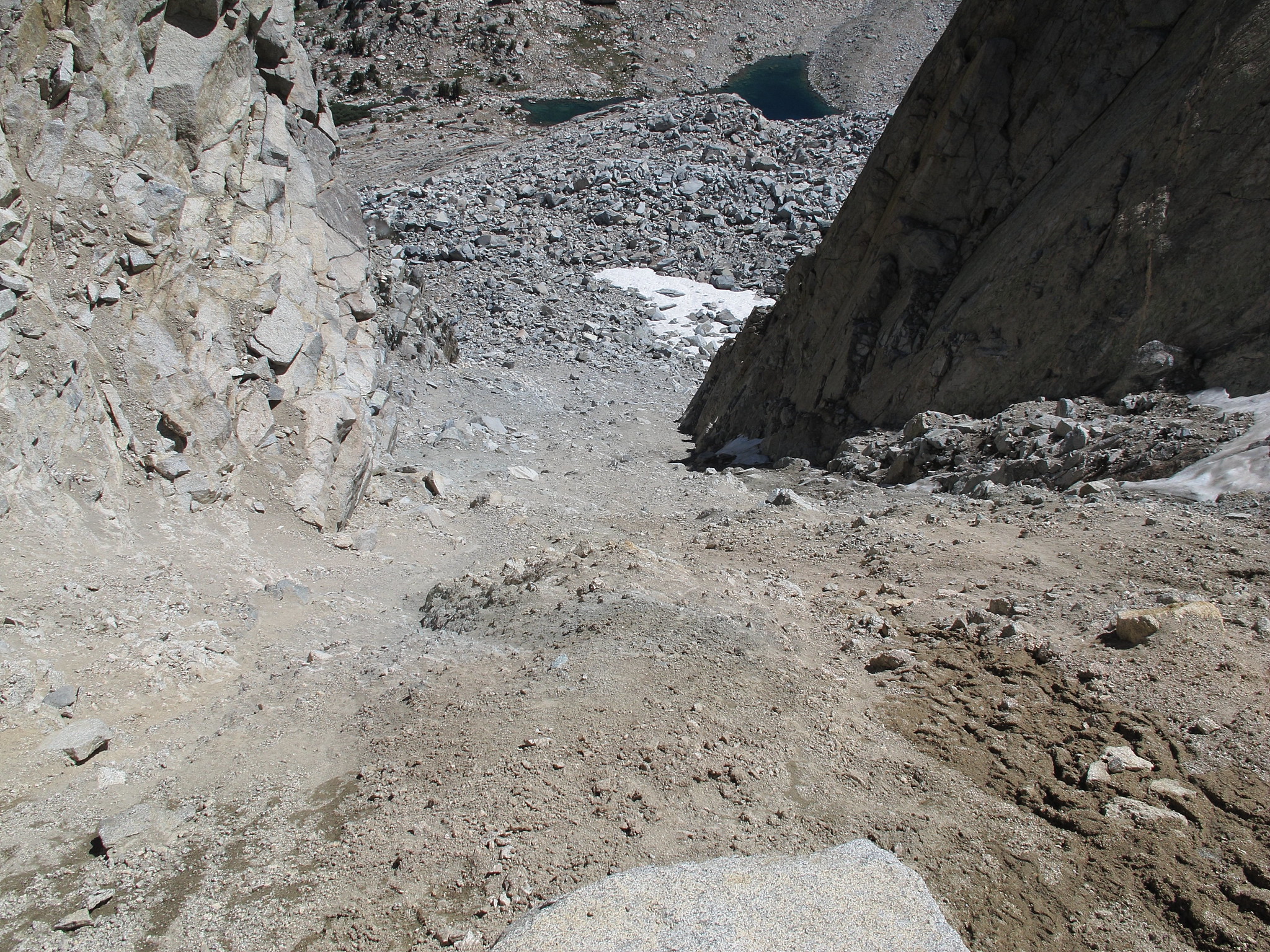
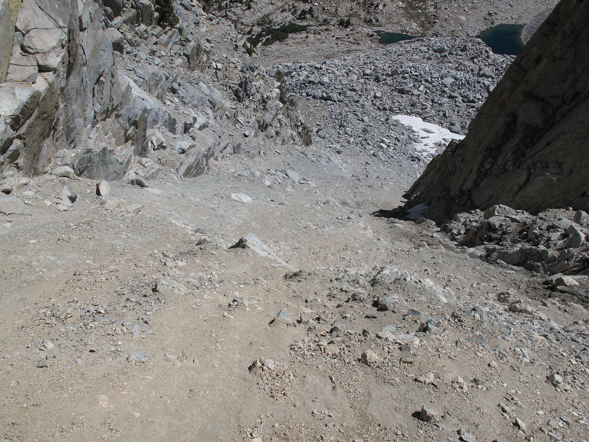
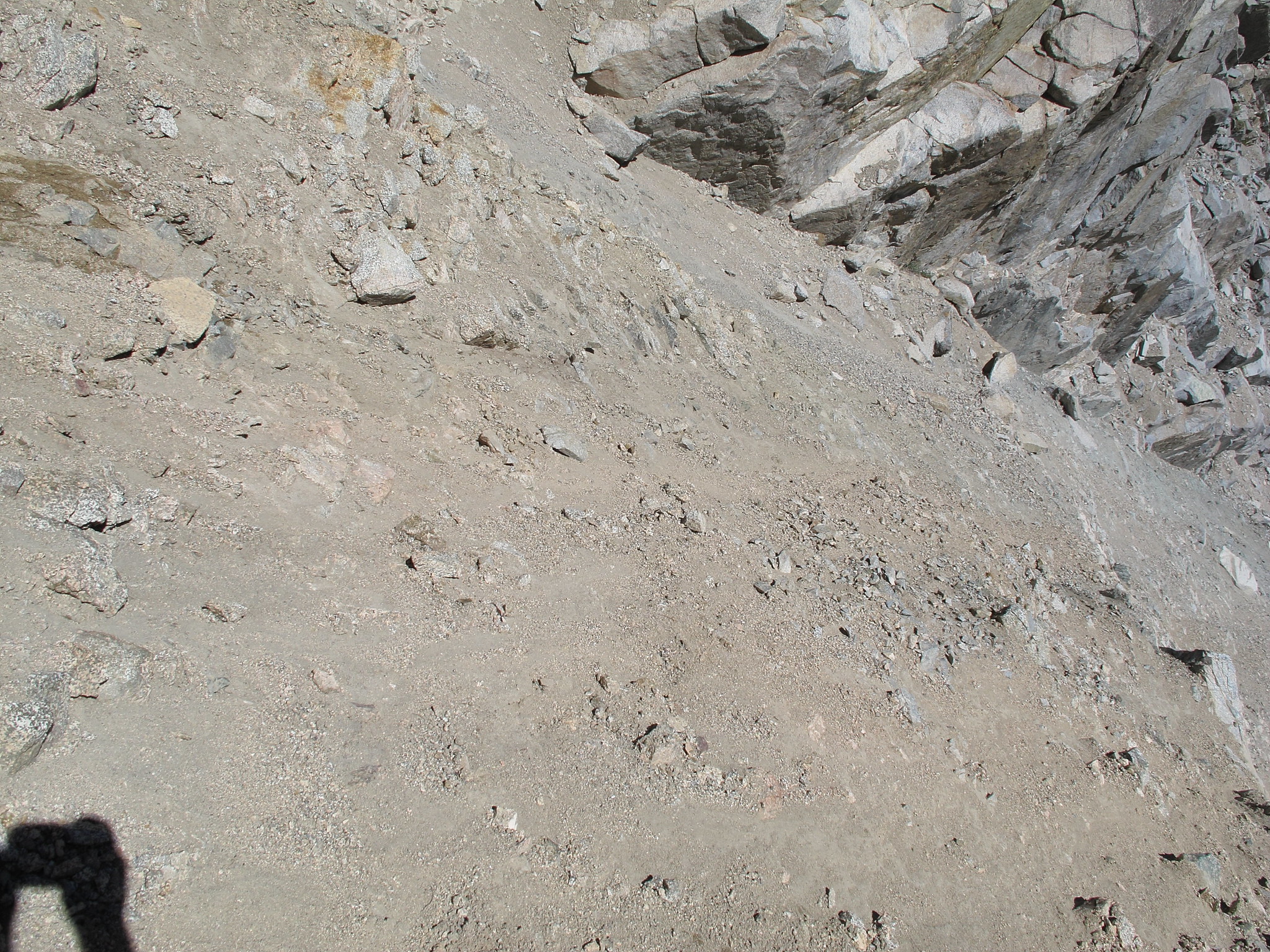
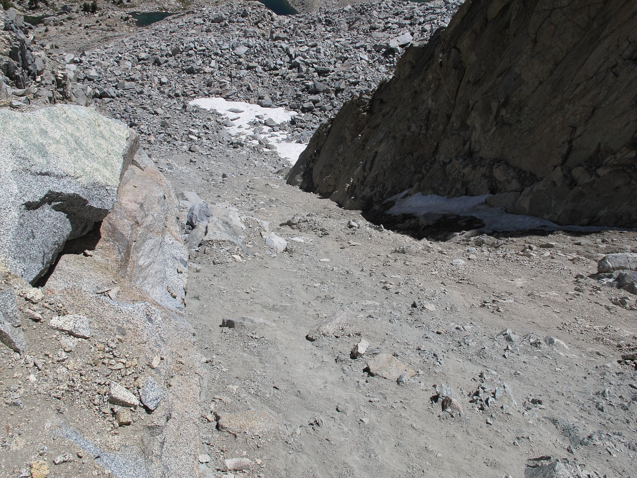
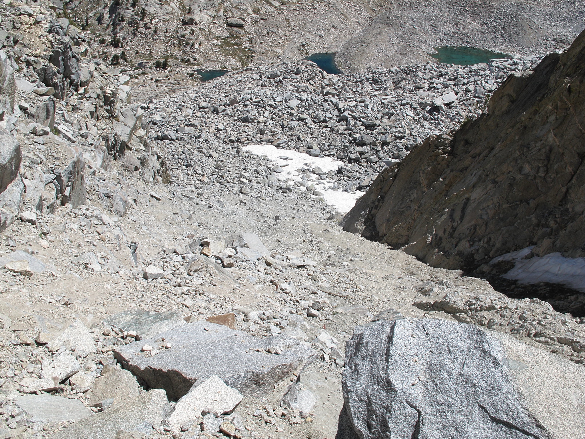
The Col. itself is a very steep mess of terrain with hard packed dirt scattered along crumbly granite faces. There are small rocks that make the slope even more unstable to stand on. Every step down is an exercise in how close your willing to come to being smashed into sausage as you tumble down the slope. The cliff walls offer some hand holds but generally do not offer any more comfort. Lower down the dirt briefly softens up so that you can sink your feet in. Leaving the Col. you still encounter intermixed talus with slick sand that demands caution.
I personally cannot recommend that anyone use this route. In my opinion it is too unsafe. If you want to anyway I would recommend the use of an ice axe even if snow is not present.


GENERAL OVERVIEW: This pass leads between Gardiner Creek and an unnamed basin West of the King Spur.
CLASS/DIFFICULTY: Class 2
LOCATION: Kings Canyon National Park along the far Western ridge of Mt. Clarence King
ELEVATION: 11,700
USGS TOPO MAP (7.5'): Mount Clarence King HST Map
ROUTE DESCRIPTION: From Gardiner Creek you will begin up a steep section of hill side that has the option of either taking steep grass slopes or class 3 rock faces. Once you reach the top of this the grade levels out significantly as you make the final climb on class 1 terrain.
The Col. itself is a very steep mess of terrain with hard packed dirt scattered along crumbly granite faces. There are small rocks that make the slope even more unstable to stand on. Every step down is an exercise in how close your willing to come to being smashed into sausage as you tumble down the slope. The cliff walls offer some hand holds but generally do not offer any more comfort. Lower down the dirt briefly softens up so that you can sink your feet in. Leaving the Col. you still encounter intermixed talus with slick sand that demands caution.
I personally cannot recommend that anyone use this route. In my opinion it is too unsafe. If you want to anyway I would recommend the use of an ice axe even if snow is not present.