Lion Rock Pass
Posted: Fri Oct 05, 2012 12:30 pm
TITLE: Lion Rock Pass
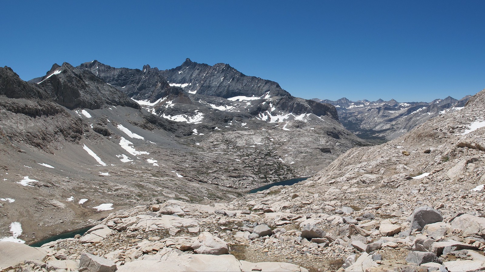
GENERAL OVERVIEW: This pass leads between 9 Lakes Basin and Lion Lake / Upper Lone Pine Creek
CLASS/DIFFICULTY: Class 2 although you will encounter some class 3 making your way up or down the Northern side of the pass near Lion Lake.
LOCATION: Sequoia National Park on the Eastern ridge of Lion Rock. HST Map
ELEVATION: 11,870
USGS TOPO MAP (7.5'): Triple Divide Peak
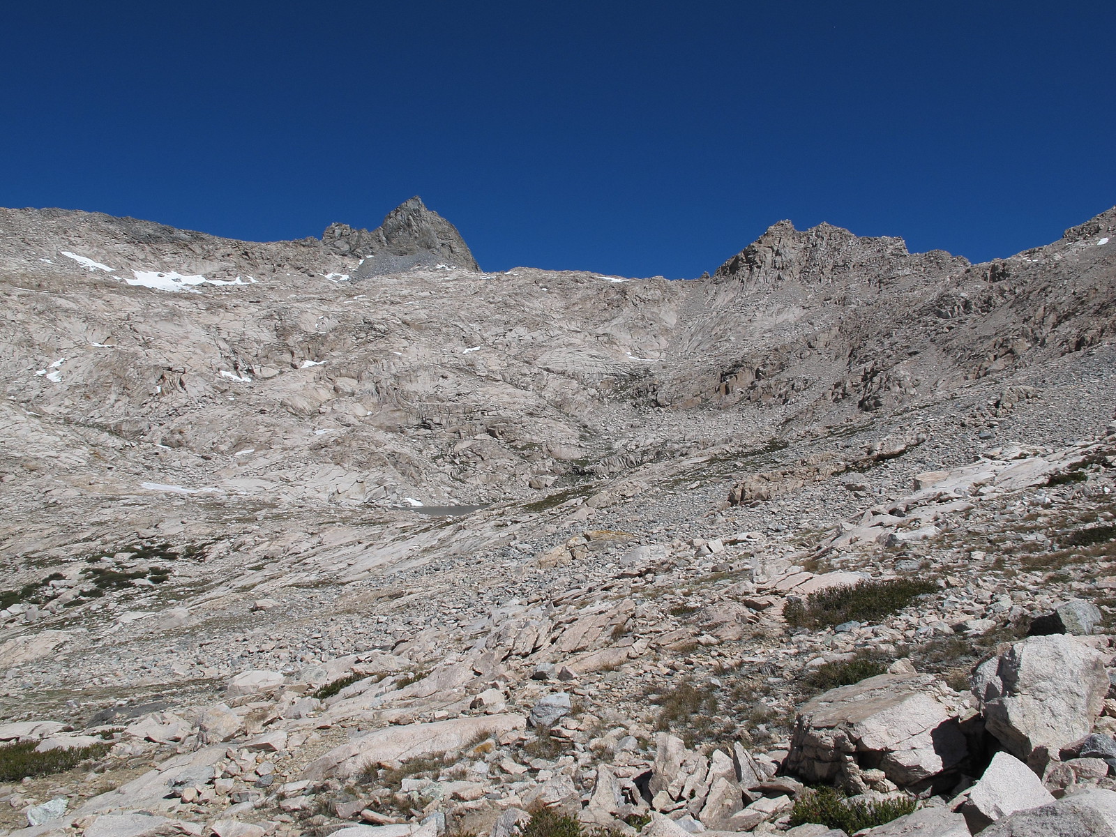
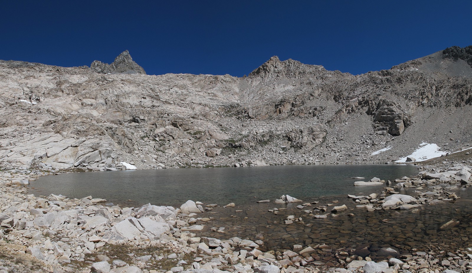
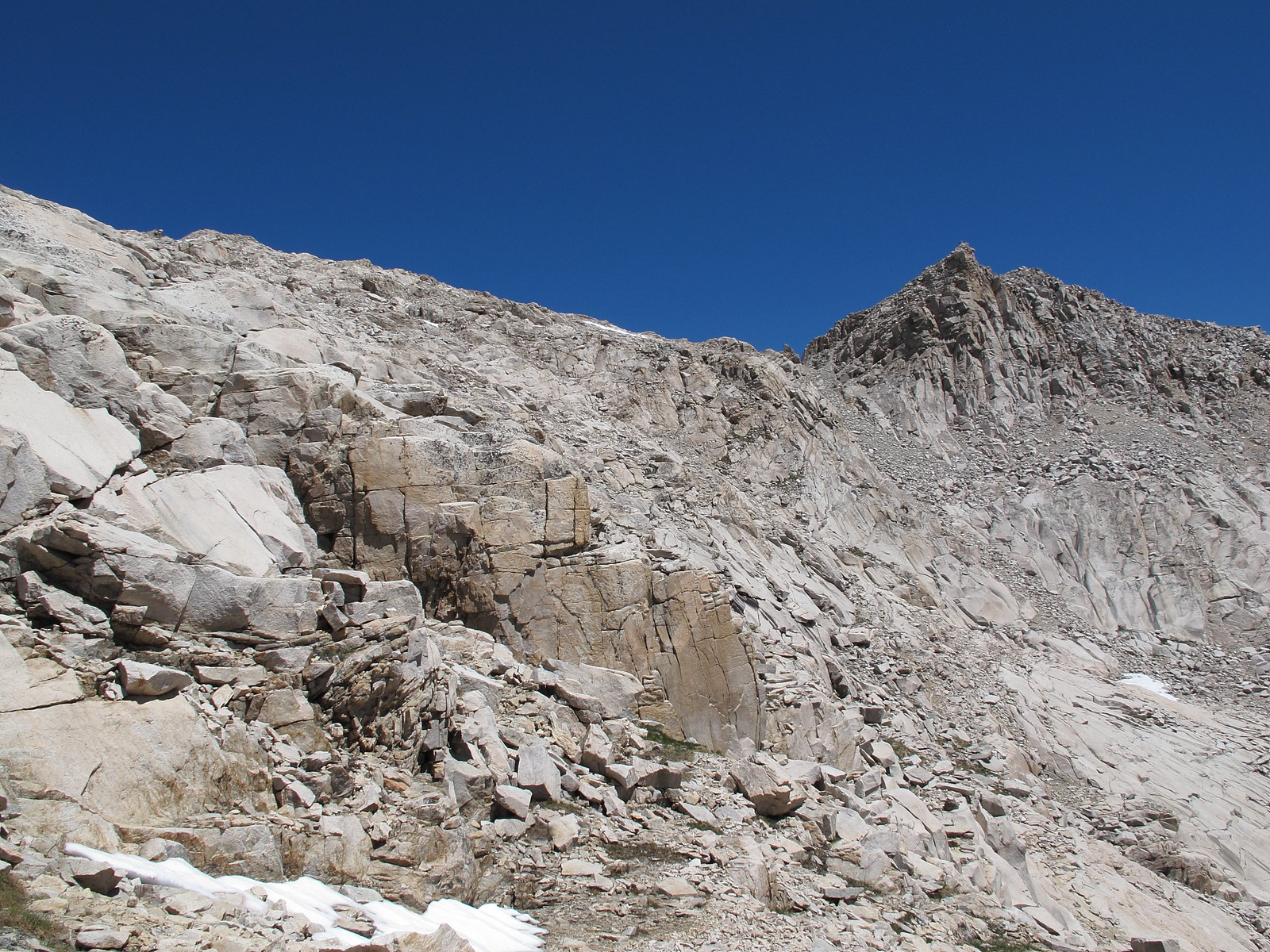
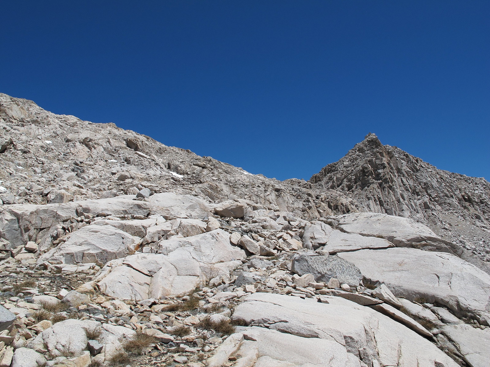
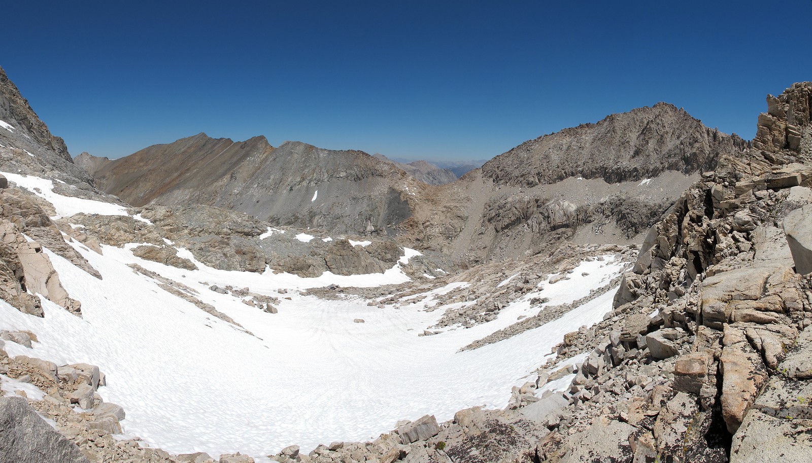
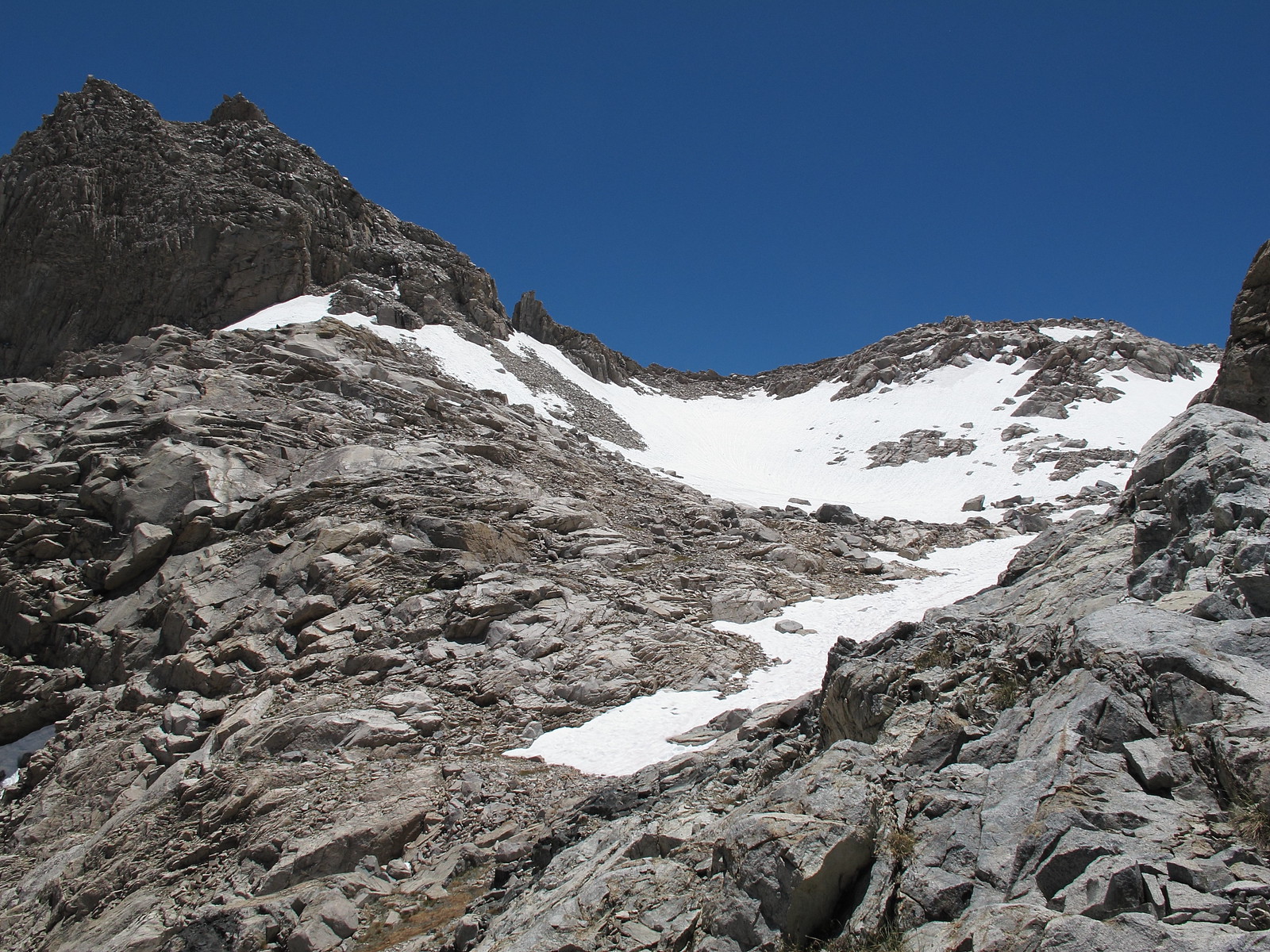
ROUTE DESCRIPTION: The Southern side has plenty of options for climbing up. I took off from the outlet of the lake and began up the Western slope angling up to the pass. This slope is a mess of granite shelves and small talus piles that leaves any one person to just find their own route.
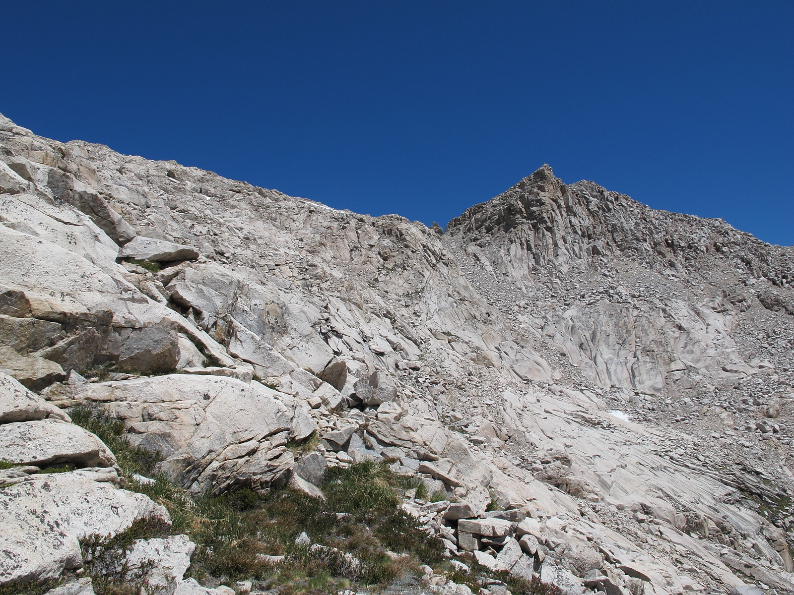
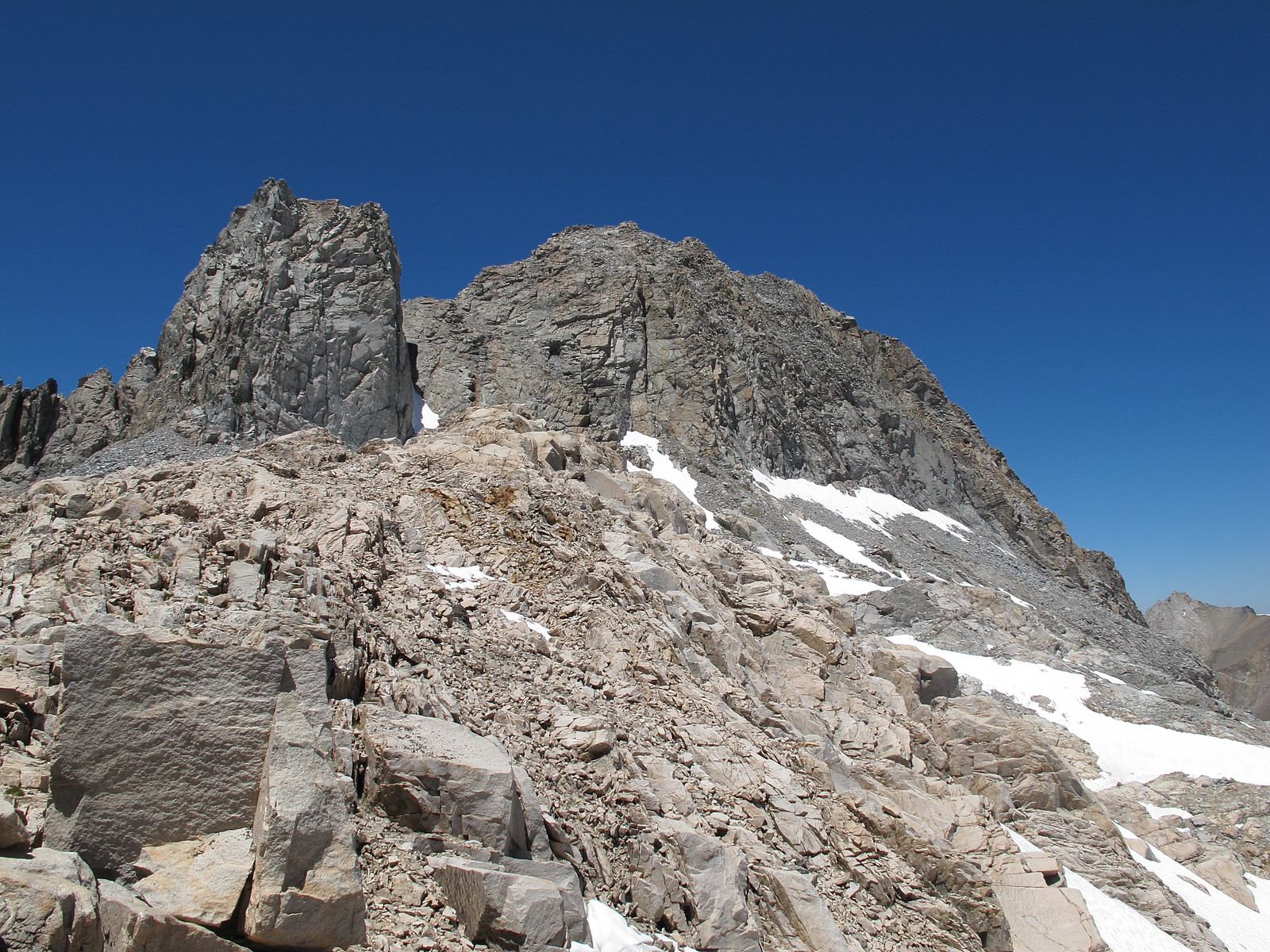
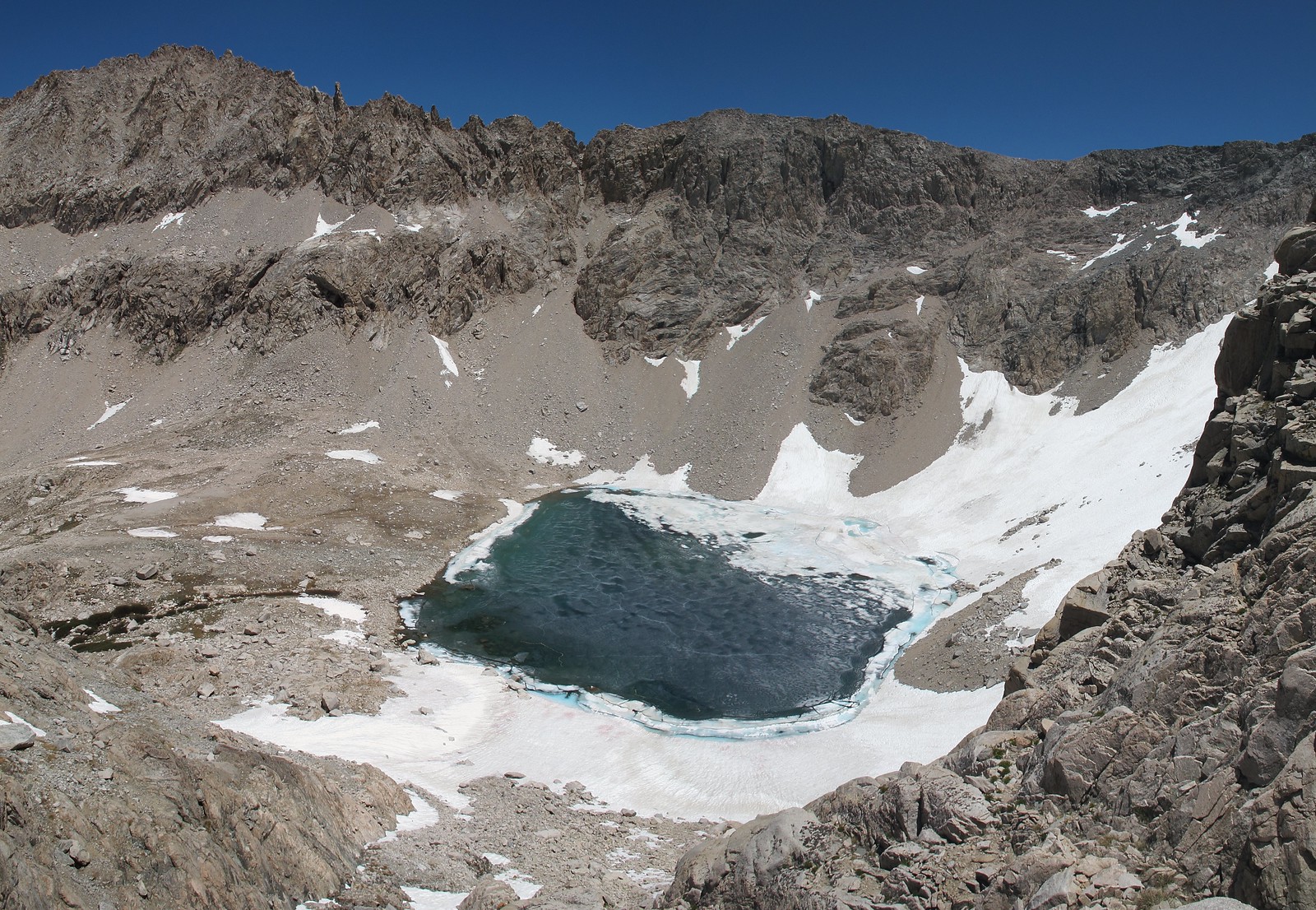
Due to the amount of snow cover on the Northern side I can only offer advise further down. I followed the primary drainage to where it plunges down to an unnamed lake below. This area is clearly class 3 but I did not take it because I couldn't see far enough down to judge if it could be done however when I turned left and began angling directly towards Lion Lake I could see that it is possible to take the drainage to the bottom. Angling towards Lion Lake takes you into a mix of granite shelves littered with loose rocks that demands more caution on what other wise would be fairly easy class 3 shelves.
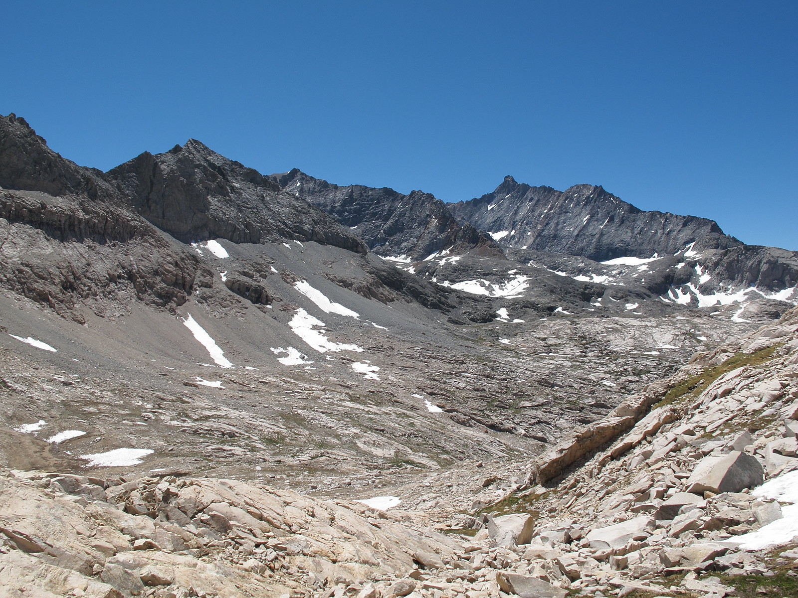


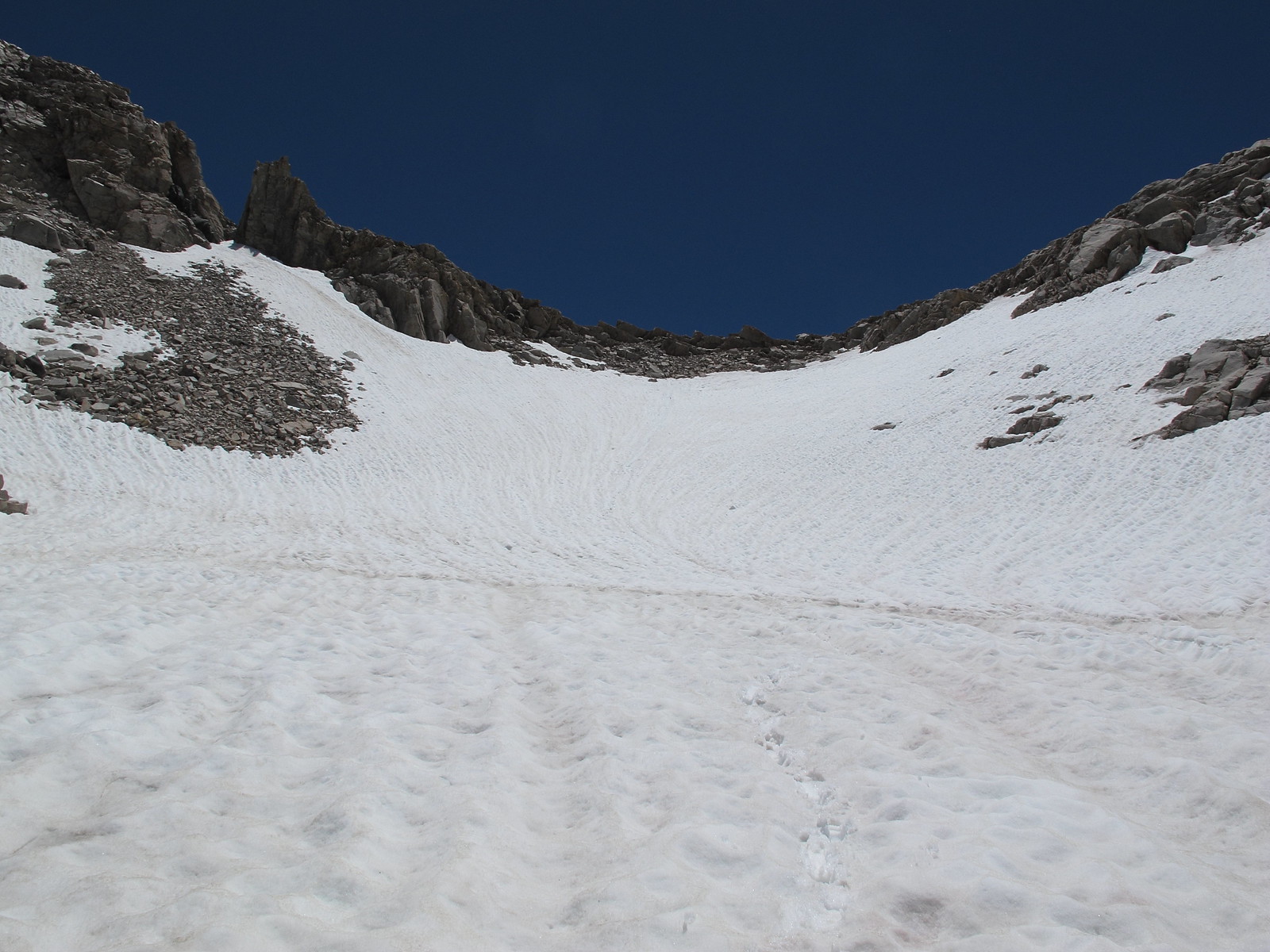
Nearing where the drainage dives down to the unnamed lake:
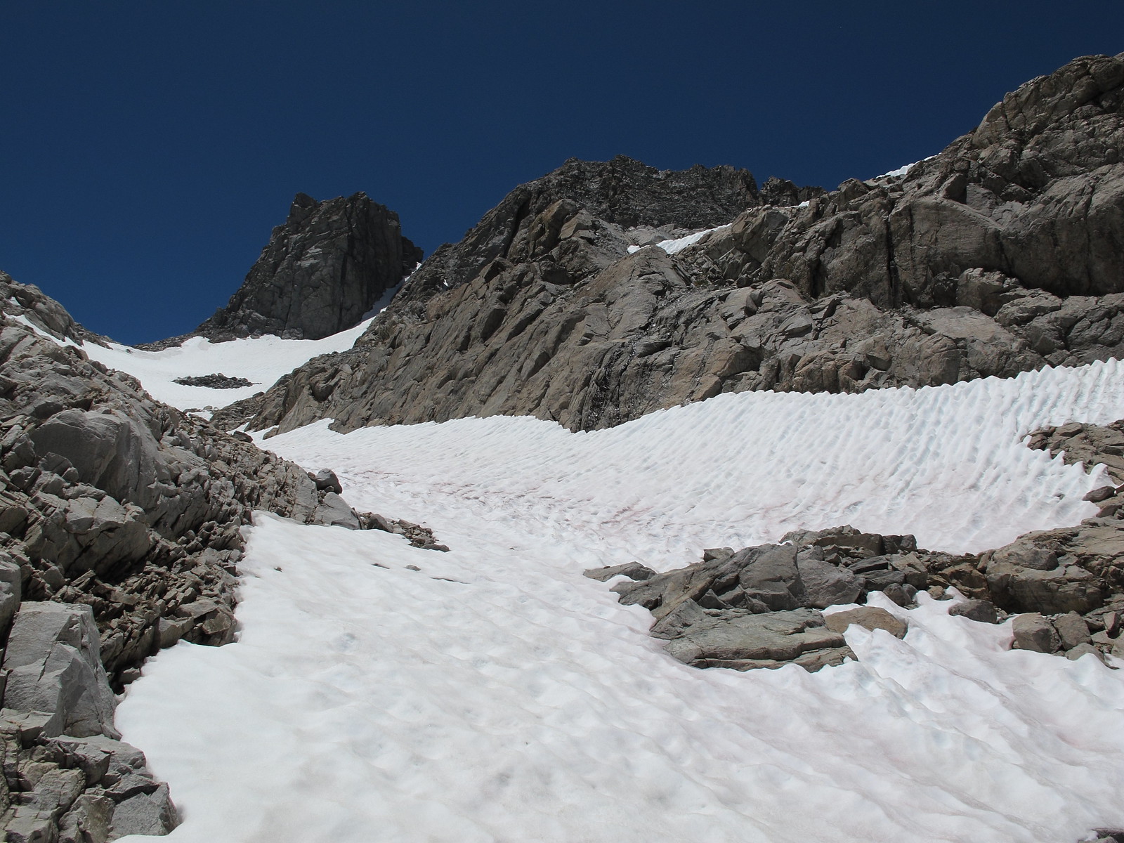
Looking down the direction I did not go:
GENERAL OVERVIEW: This pass leads between 9 Lakes Basin and Lion Lake / Upper Lone Pine Creek
CLASS/DIFFICULTY: Class 2 although you will encounter some class 3 making your way up or down the Northern side of the pass near Lion Lake.
LOCATION: Sequoia National Park on the Eastern ridge of Lion Rock. HST Map
ELEVATION: 11,870
USGS TOPO MAP (7.5'): Triple Divide Peak
ROUTE DESCRIPTION: The Southern side has plenty of options for climbing up. I took off from the outlet of the lake and began up the Western slope angling up to the pass. This slope is a mess of granite shelves and small talus piles that leaves any one person to just find their own route.
Due to the amount of snow cover on the Northern side I can only offer advise further down. I followed the primary drainage to where it plunges down to an unnamed lake below. This area is clearly class 3 but I did not take it because I couldn't see far enough down to judge if it could be done however when I turned left and began angling directly towards Lion Lake I could see that it is possible to take the drainage to the bottom. Angling towards Lion Lake takes you into a mix of granite shelves littered with loose rocks that demands more caution on what other wise would be fairly easy class 3 shelves.
Nearing where the drainage dives down to the unnamed lake:
Looking down the direction I did not go:
