My friend was able to find two 26-inch zippers at Walmart in Riverton while I repacked. I sewed the zippers right over the broken tent zipper and was good to go. Only problem is that they were not “reversible” zippers and not giving this much thought, I had sewed them on so that they were easy to manipulate from the outside, but quite the trick to get them started opening from the inside. I washed clothing, packed food, drank beer and visited. It was a nice relief. My pack for the next 11-day and last segment was a comfortable 35 pounds.
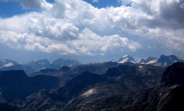
My “continuous” through hike was foiled by eliminating the connection from Alpine Lakes to the Dinwoody. This “missing link” of the route just turned out to be too risky to solo and logistically difficult without the packer resupply. However, I had been over the missing link by several different routes in the past and had good photos of the area. My disappointment was more that I had “failed” my original goal. But I was now free to simply wander around the northern section with no particular “agenda”. The northern section had the more difficult travel so leaving it for last was a good call. On the other hand, by late season the air was filled with smoke from regional forest fires so most of my photos are really bad. Few lakes had fish on my route, so this time I left fishing gear behind.
8/07 Day 29 Drive to Dubois, Torrey Creek TH to Bomber Canyon (191.8). 5.2 miles/+1990 ft./3.0 hrs.
The air was filled with smoke from forest fires as I drove to Dubois. I stopped by the Forest Service office to check out current conditions, finding that my planned exit via Whisky Mountain trail was closed due to grizzly activity. Some unfortunate cows had wandered up the trail and the grizzlies were feasting on them. I had planned on entering via Bomber Creek so this did not affect me but I would have to play it by ear for exit. There were many options so I did not commit myself to any “agenda”. I ate a bad lunch in town before I drove to the Trail Lake (Torrey Creek) trailhead. The road thankfully was much improved since I was last here. By the time I started up the trail at 1:15 it was hot as hell and the smoke thick.
I painfully trudged up the dusty trail taking my first real break at the south end of the large meadow at 8,500 feet elevation. Flowers were dried and droopy and grass was straw colored. I followed the use-trail up Bomber Creek, mostly easy with a few sections of deadfall. I spotted several nice established campsites along the way but decided to keep walking as long as I could. The trail goes through thick timber that has unfortunately been marred by bark beetle kill. The steep uphill section and heat did me in by the time I reached the top of Bomber Falls. My enthusiasm was at a low point. I stopped at 5PM and set up my tent on a rock bench just above the creek, and unbeknownst to me, just before the burned area left by the fire of 2006. It was peaceful by the creek, the water gently flowing. By 7PM the sun dropped below the canyon wall and I was too tired to force myself to stay up until dark. Puffy clouds produced a few sprinkles. On my last trip I was amazed at how long my little I-Pod Shuffle lasted on one recharge, so now I allowed myself an hour of music every night! Surprisingly, I met nobody even though I was on a major trail for half the time. Between the grizzly alert and the smoky skies, many people just stayed home.

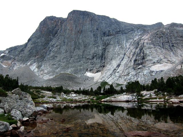
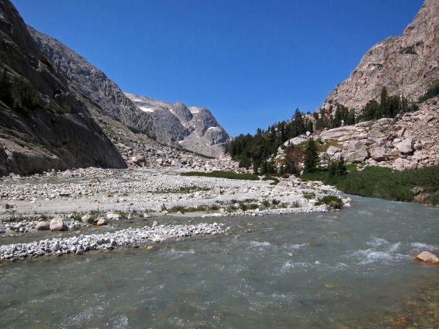
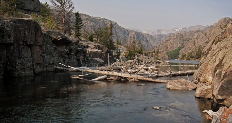
Bomber Creek next to campsite

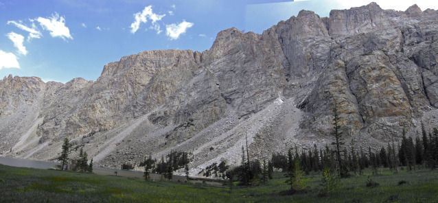
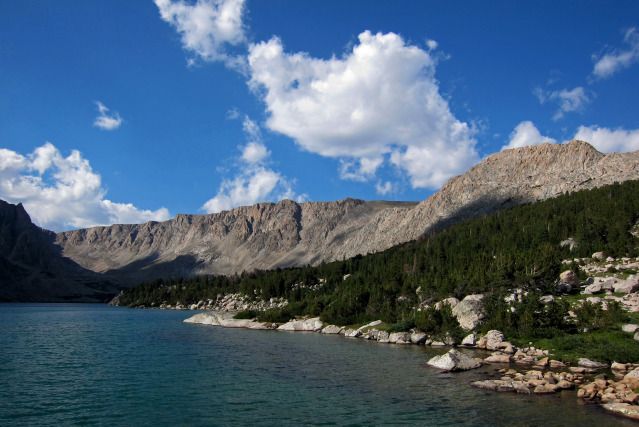
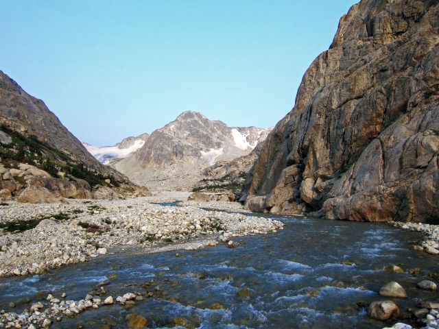
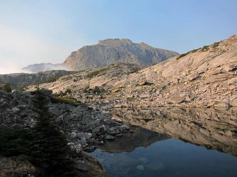
Smoky Bomber Canyon
8/08 Day 30 Bomber Canyon to Bomber Lake (198.8). 7.0 miles, including 4.4 day-hikes/+1360 ft./7.0 hrs.
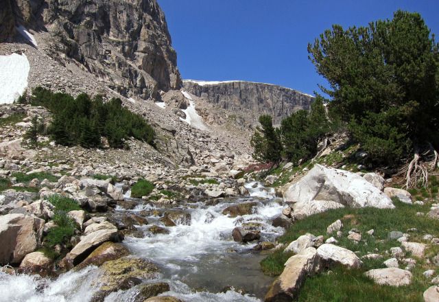
It was a very warm night. I was up at 6AM under hazy overcast, smoky skies. I left at 7:30 and immediately entered the devastated 2006 burned area where the trail has been obliterated. At first it was not bad, but became more difficult as I continued. I knew there was a use-trail on the other side, but could not find a suitable river crossing; I was just too lazy to wade! I had been up this canyon in the 1990’s when it was filled with a lush green forest. Now only ghost trees were remaining.
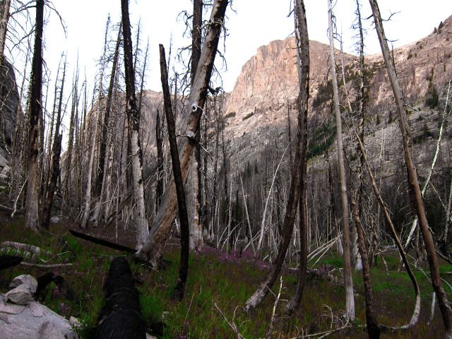
Burned trees in Bomber Canyon
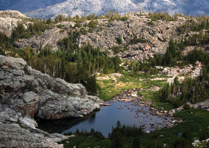
I totally misjudged the distance I would have to go over tedious talus by staying on the south side. The route through the boulders kept pushing me farther up into even more hideous talus. Finally I was able to return to the creek, only to find that travel along the creek also had its very difficult parts. At one point I had to lift my pack up a rock cliff to continue. The creek was now a waterfall and crossing with my heavy pack was not something I wanted to do. Just at the end, things got easier and I arrived at the outlet area at 11AM and set up in a large established campsite.

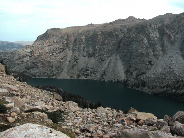
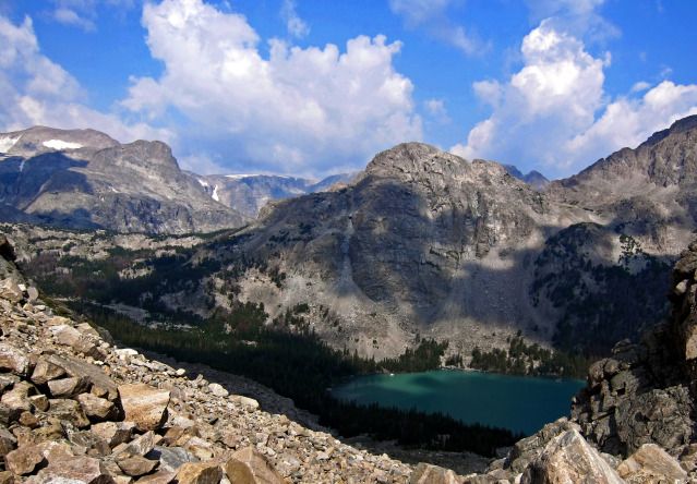
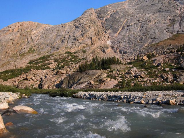
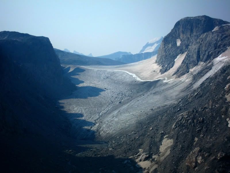
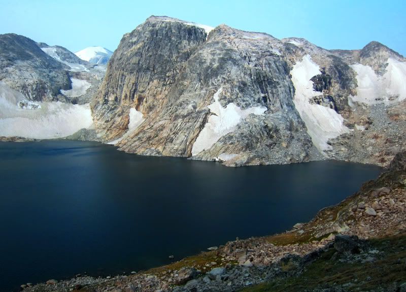
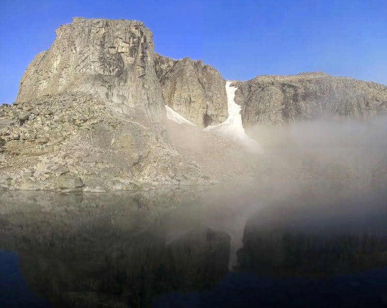
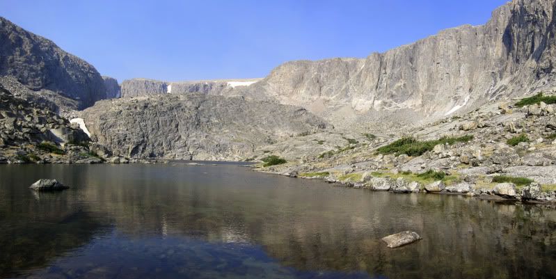
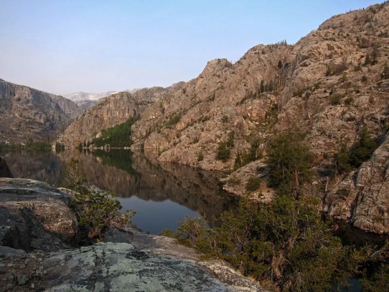
Bomber Lake under weird colored haze
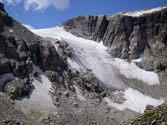
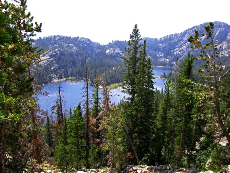
It was too late in the day to go over Goat Flat to Downs Lake. A family walked by – they too had been “tricked” by the burn and ended up missing the crossing and trail. After washing clothes, I went back down the creek, crossed and found the trail which was a fine easy-to-follow well used trail! Returning I followed it as it went all the way to the outlet and then crossed on logs. After a brief rest and bath I decided to hike up to Turquoise Lake since sitting at Bomber Lake was getting boring. I found a less than easy to follow use-trail nearly all the way. Unfortunately the sun was not in the right spot for photos and the air still hazy so all I got were so-so pictures. Back in camp I cooked dinner and took another bath. Then after dinner I scouted for the best route up to the gully that leads to Goat Flat.

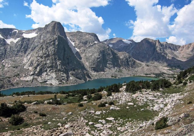
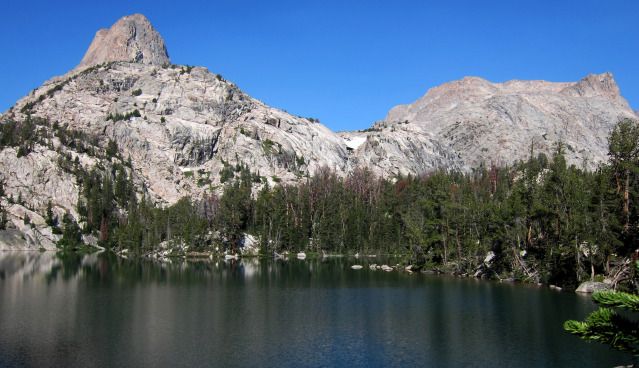
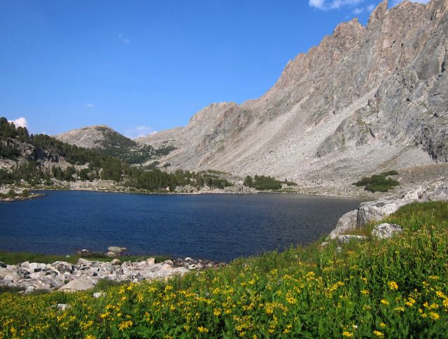
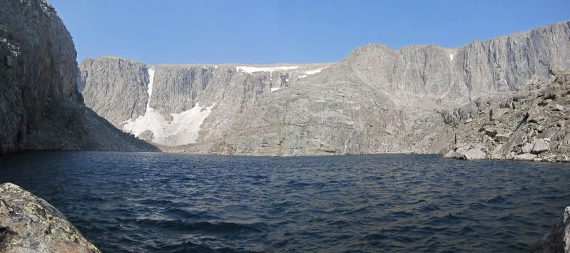
Turquoise Lake- smoke and shooting into the sun does not do this spectacular lake justice

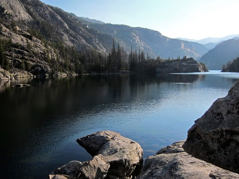
Smoke cleared briefly at sunset- South wall of Bomber Canyon