Mt Whitney - Cinco de Mayo
Posted: Mon May 07, 2018 11:17 am
BlueWater and I headed up to Whitney this weekend to hike the main trail. The conditions were really excellent, especially as the recent storm had just passed through. Even though it's been a low snow year, of course that doesn't mean it's a *no* snow year. Even better, most of the snow fell in March, so there's still good coverage above 11k.
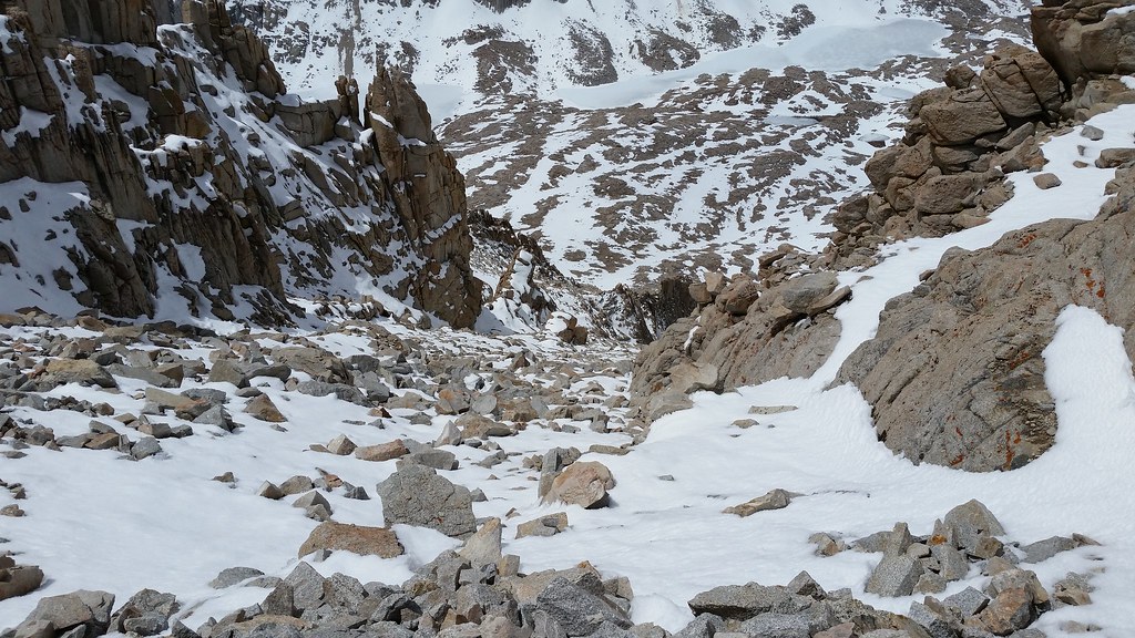
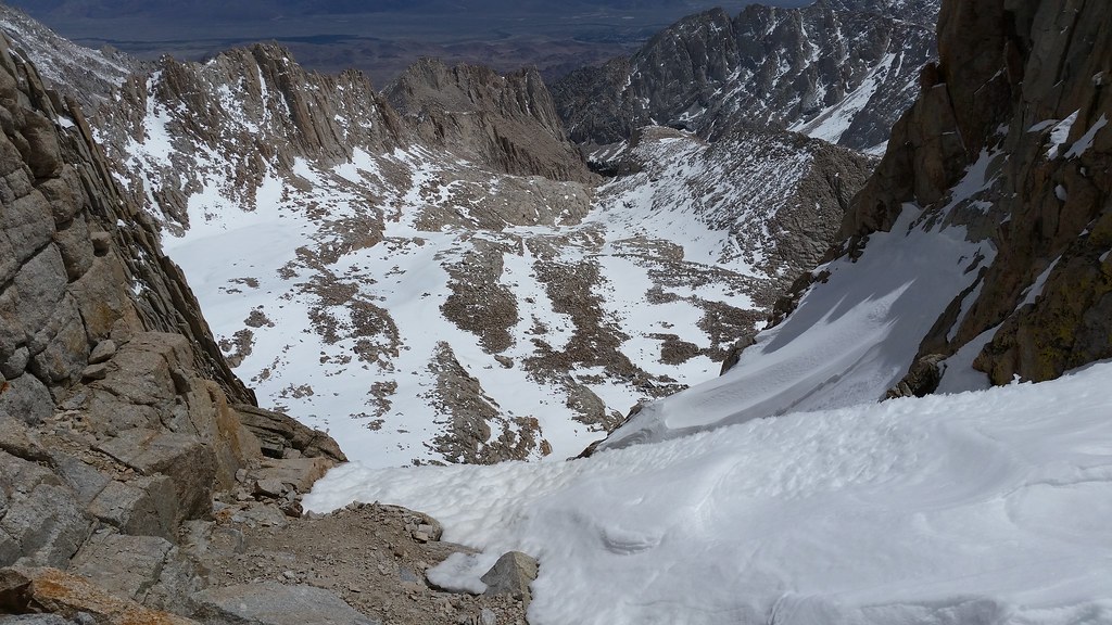
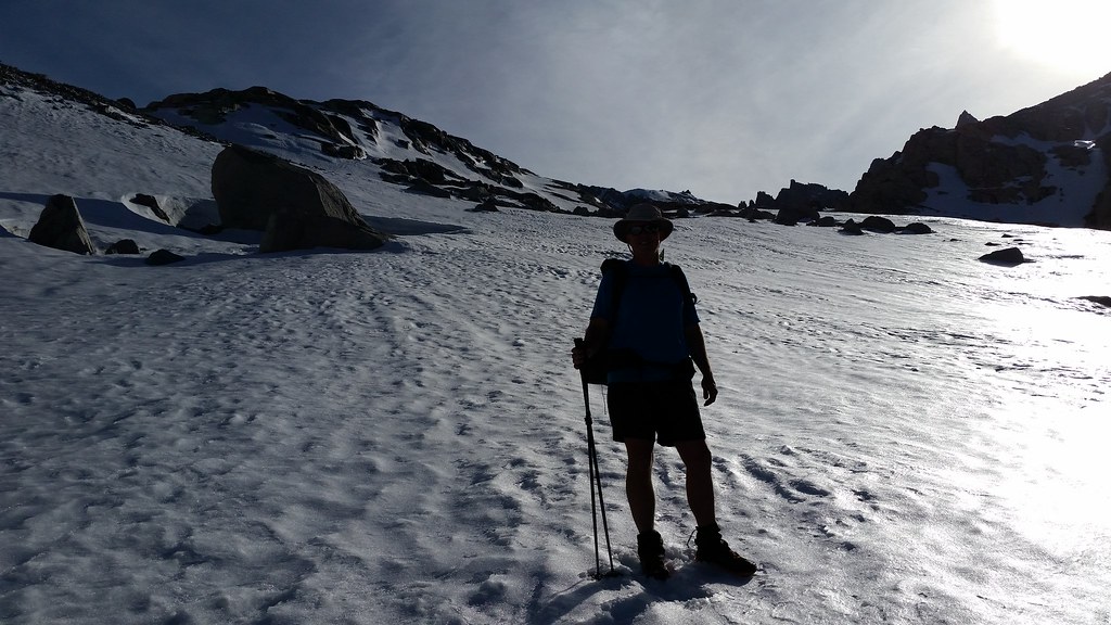
For the photographers, I'm sure this picture has everything possible wrong about it. Yet, I like because I feel it creates a sort of vertigo effect that is a true representation of what the 'winter' route (up the Consultation drainage) looks like when hiking:
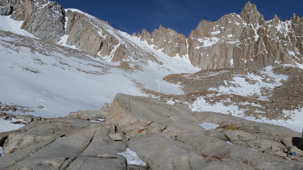
Because we had driven up from SoCal Friday morning, our destination was Trail camp for the night. This is what the Chute looked like from our base camp. (The 99 switchbacks are directly to the left - the Chute is used when it has snow to bypass the iced out cables section.) If you look really closely, you can see a few tiny dots which are hikers beginning the ascent:
Having done Whitney many times in every possible condition/variation/approach (except the 5.x east buttress), we planned for a very civilized ascent the following morning around 8am. Yes, I know it sounds like blasphemy, but the logic was as follows: (a) We were staying Saturday night as well (with a Sunday drive home), so with 7 hrs budgeted for the 8 mile round strip, we still got back to camp by 3pm; (b) We ran into 4 day hikers while on the way up to TC who made the peak around noon. That means they hit the Chute between 8-9. Andy was fully down on this plan, and I was cool too because I thought the snow could use a little softening.
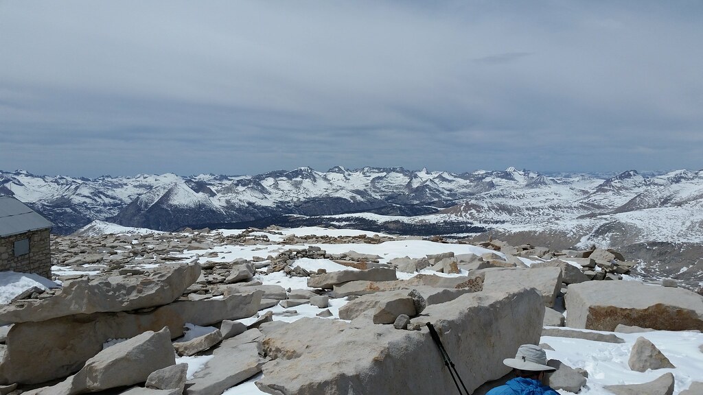
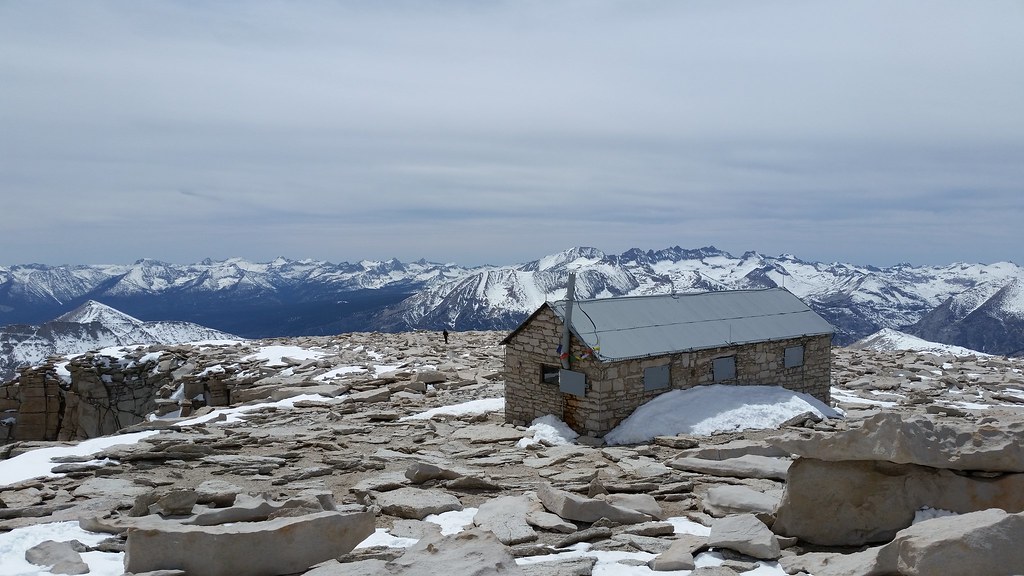
We reached the summit in the expected 4 hours - noon (for those doing the math, yes, that's around 1 mph) - were we took the requisite photos and admired the surroundings. Of note to those thinking of heading out for a spring hike, you can see the snow line across the Kern in the Kaweahs is around 11k:
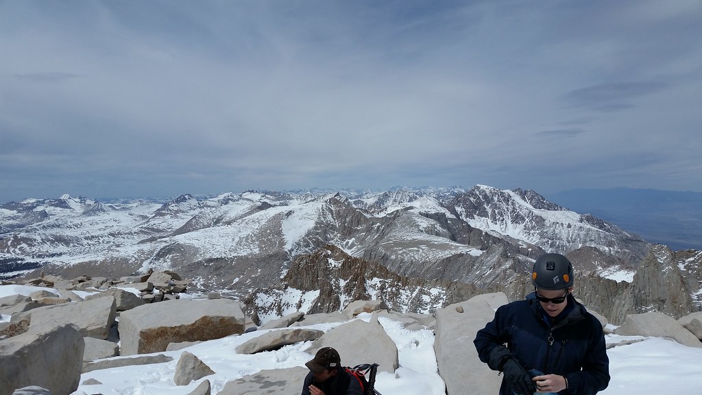
Because Honey B[adger] 'does what he wants', but is also an excellent photographer, here's the standard peak shot. He'll probably see this thread and post some other, much better composed photos than what I posted:
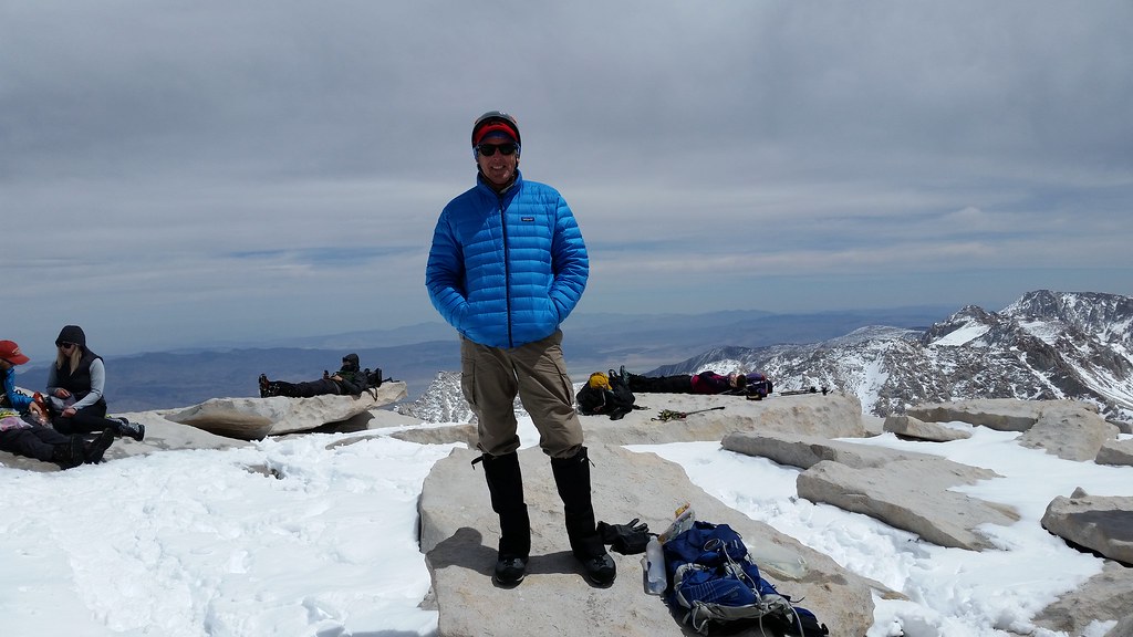
PS Those are all day hikers in the background - they all started before 3am. There were probably 25 on the trail that day; it seemed everyone was a 20 something. No 'weirdos' either; everyone had proper boots, crampons, ice axe, provisions, water, etc.
For those interested in getting out during spring, it's really nice. Just watch the weather and go if you can.
For the photographers, I'm sure this picture has everything possible wrong about it. Yet, I like because I feel it creates a sort of vertigo effect that is a true representation of what the 'winter' route (up the Consultation drainage) looks like when hiking:

Because we had driven up from SoCal Friday morning, our destination was Trail camp for the night. This is what the Chute looked like from our base camp. (The 99 switchbacks are directly to the left - the Chute is used when it has snow to bypass the iced out cables section.) If you look really closely, you can see a few tiny dots which are hikers beginning the ascent:

Having done Whitney many times in every possible condition/variation/approach (except the 5.x east buttress), we planned for a very civilized ascent the following morning around 8am. Yes, I know it sounds like blasphemy, but the logic was as follows: (a) We were staying Saturday night as well (with a Sunday drive home), so with 7 hrs budgeted for the 8 mile round strip, we still got back to camp by 3pm; (b) We ran into 4 day hikers while on the way up to TC who made the peak around noon. That means they hit the Chute between 8-9. Andy was fully down on this plan, and I was cool too because I thought the snow could use a little softening.
We reached the summit in the expected 4 hours - noon (for those doing the math, yes, that's around 1 mph) - were we took the requisite photos and admired the surroundings. Of note to those thinking of heading out for a spring hike, you can see the snow line across the Kern in the Kaweahs is around 11k:

Because Honey B[adger] 'does what he wants', but is also an excellent photographer, here's the standard peak shot. He'll probably see this thread and post some other, much better composed photos than what I posted:

PS Those are all day hikers in the background - they all started before 3am. There were probably 25 on the trail that day; it seemed everyone was a 20 something. No 'weirdos' either; everyone had proper boots, crampons, ice axe, provisions, water, etc.
For those interested in getting out during spring, it's really nice. Just watch the weather and go if you can.
