TR: Bishop Pass - 5/12/2017
Posted: Sun May 14, 2017 3:42 am
BlueWater and I took a short trip up out of South lake to Bishop pass Thurs/Friday in excellent spring time conditions. While the skies where crisp & cool, a gale force wind storm hit that forced us to retreat before clearing the pass into Dusy basin. Our original plan was to try and make it to Palisades basin over Thunderbolt pass - if possible - and then return. However, it still turned out to be a fun trip and provided an excellent chance to check out epic conditions after this record year.
The winter route bypasses the regular trail and follows along the edge of (frozen solid) South lake. That is, rather than climbing from the TH, you actually descend down to the lake bed since the regular route is buried in snow along the steep hillside. You have a choice of three drainages to ascend up to the pass; we chose to follow the Long lake drainage up, and then return via the Mule lake drainage. Here's a shot from the south end of South lake:
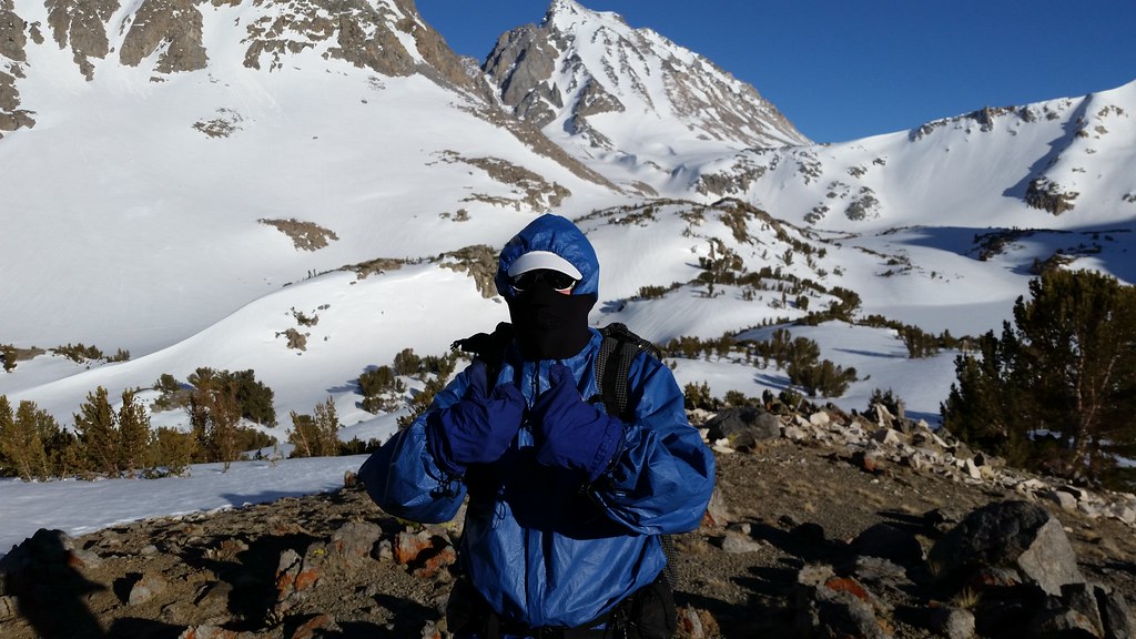
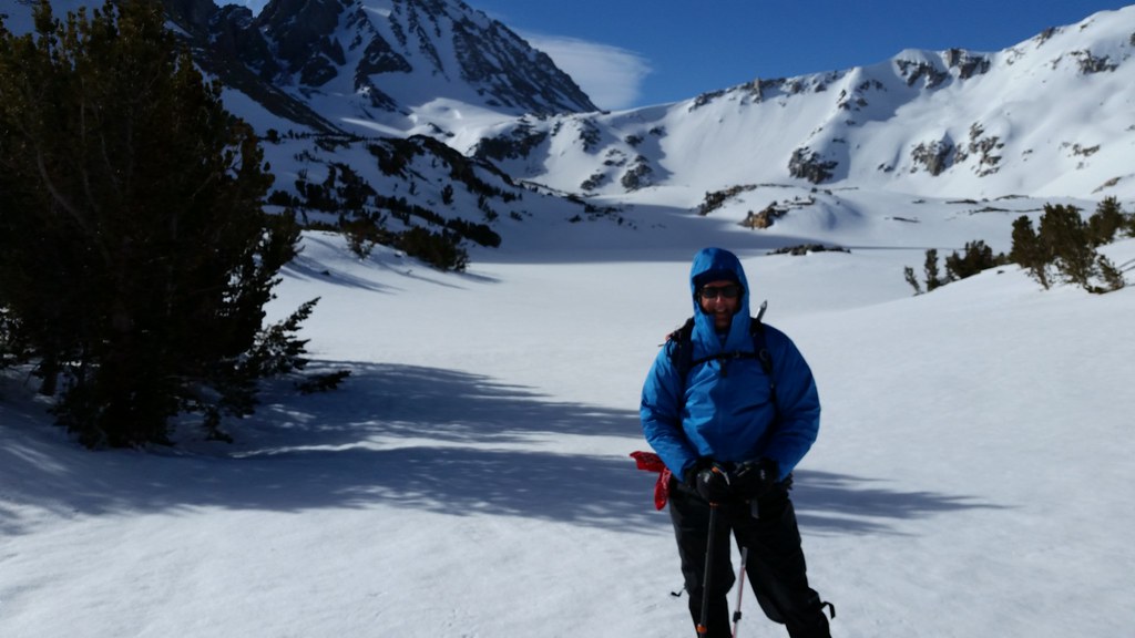
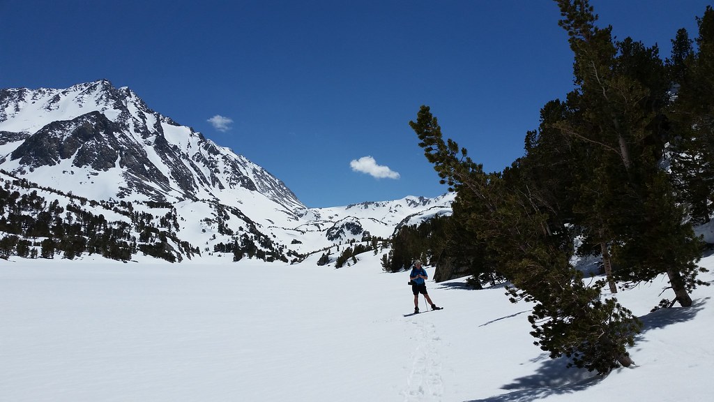
The route up the Long lake drainage would normally be a narrow, rough gully, but since it was covered in 5-6' of snow, it was a pretty straightforward climb up. I was using a spare pair of Andy's snowshoes with built in crampons (MSR Lightning ascent) and they worked really well going straight up the 30-45 degree stream bed. After a few miles, we topped at Long lake and took a direct route across the lake. You can see Bishop pass just to the left of BW under the tiny cloud:
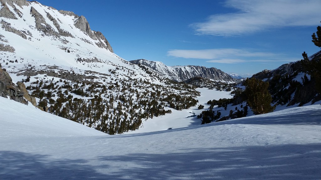
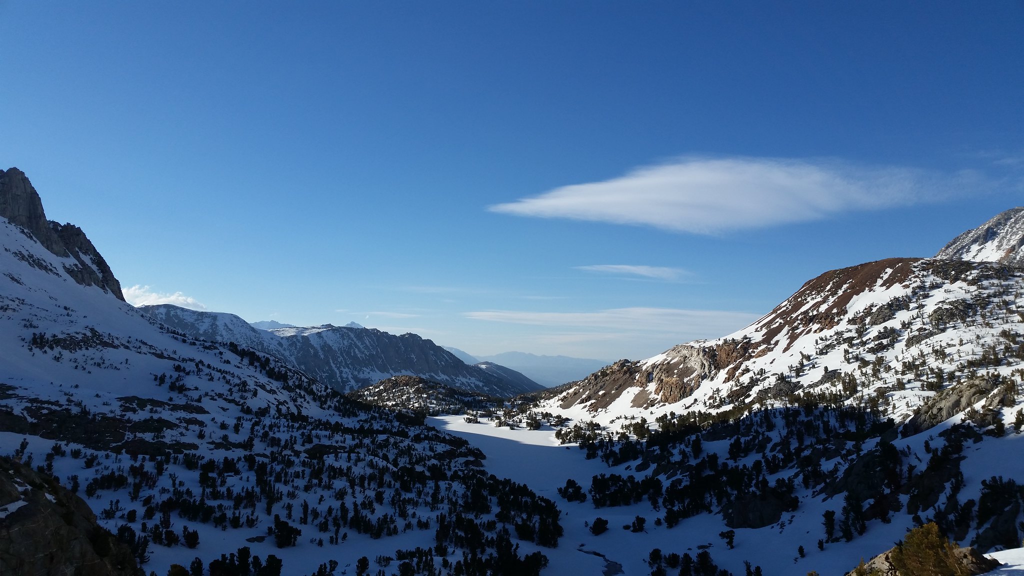
Our original plan was to camp at Bishop lake, but because the forecast was calling for 50+ mph winds, we needed to stay a bit lower within some stunted trees. So, we called the first day short by pulling in at the north end of Saddlerock which seemed to offer the best protection. Here's a shot from the bluff above Saddlerock looking back down at Long lake:
The winter route bypasses the regular trail and follows along the edge of (frozen solid) South lake. That is, rather than climbing from the TH, you actually descend down to the lake bed since the regular route is buried in snow along the steep hillside. You have a choice of three drainages to ascend up to the pass; we chose to follow the Long lake drainage up, and then return via the Mule lake drainage. Here's a shot from the south end of South lake:
The route up the Long lake drainage would normally be a narrow, rough gully, but since it was covered in 5-6' of snow, it was a pretty straightforward climb up. I was using a spare pair of Andy's snowshoes with built in crampons (MSR Lightning ascent) and they worked really well going straight up the 30-45 degree stream bed. After a few miles, we topped at Long lake and took a direct route across the lake. You can see Bishop pass just to the left of BW under the tiny cloud:
Our original plan was to camp at Bishop lake, but because the forecast was calling for 50+ mph winds, we needed to stay a bit lower within some stunted trees. So, we called the first day short by pulling in at the north end of Saddlerock which seemed to offer the best protection. Here's a shot from the bluff above Saddlerock looking back down at Long lake: