Grouse Lake Pass
Posted: Sat Dec 19, 2015 4:06 pm
TITLE: Grouse Lake Pass
GENERAL OVERVIEW: This pass crosses between upper Copper Creek containing Grouse Lake and the NE cirque of Granite Creek
CLASS/DIFFICULTY: Class 1-2
LOCATION: Kings Canyon National Park 0.9 miles West of Munger Peak. HST Map
ELEVATION: 11,060
USGS TOPO MAP (7.5'): The Sphinx
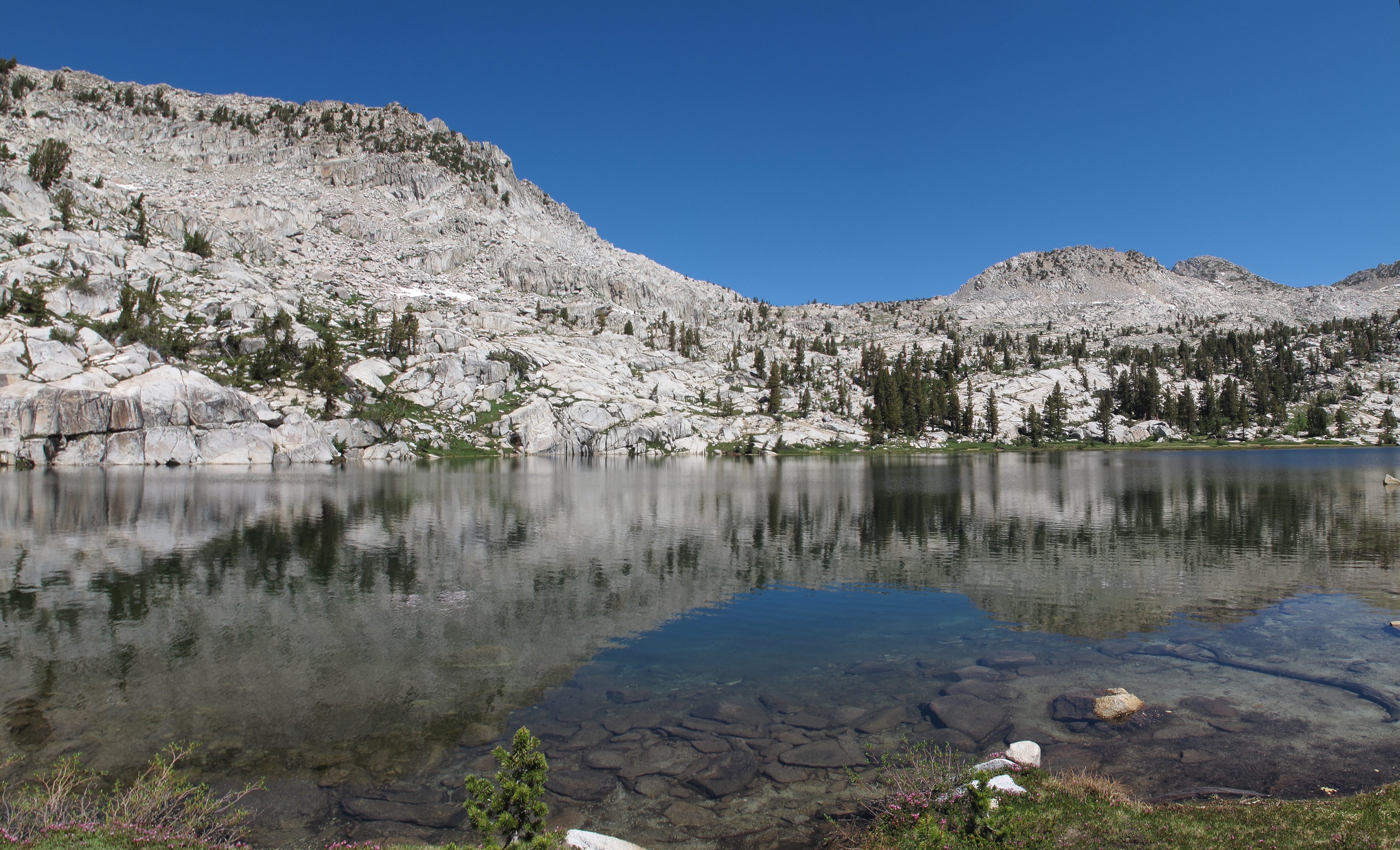
ROUTE DESCRIPTION: If your heading North at about 10,280 there is a well established use trail leaving the main Copper Creek trail which will take you to a meadow. Cross the meadow and follow the drainage up on it's West side where you can resume the use trail to Grouse Lake. Grouse Lake itself can be crossed by either shore line.
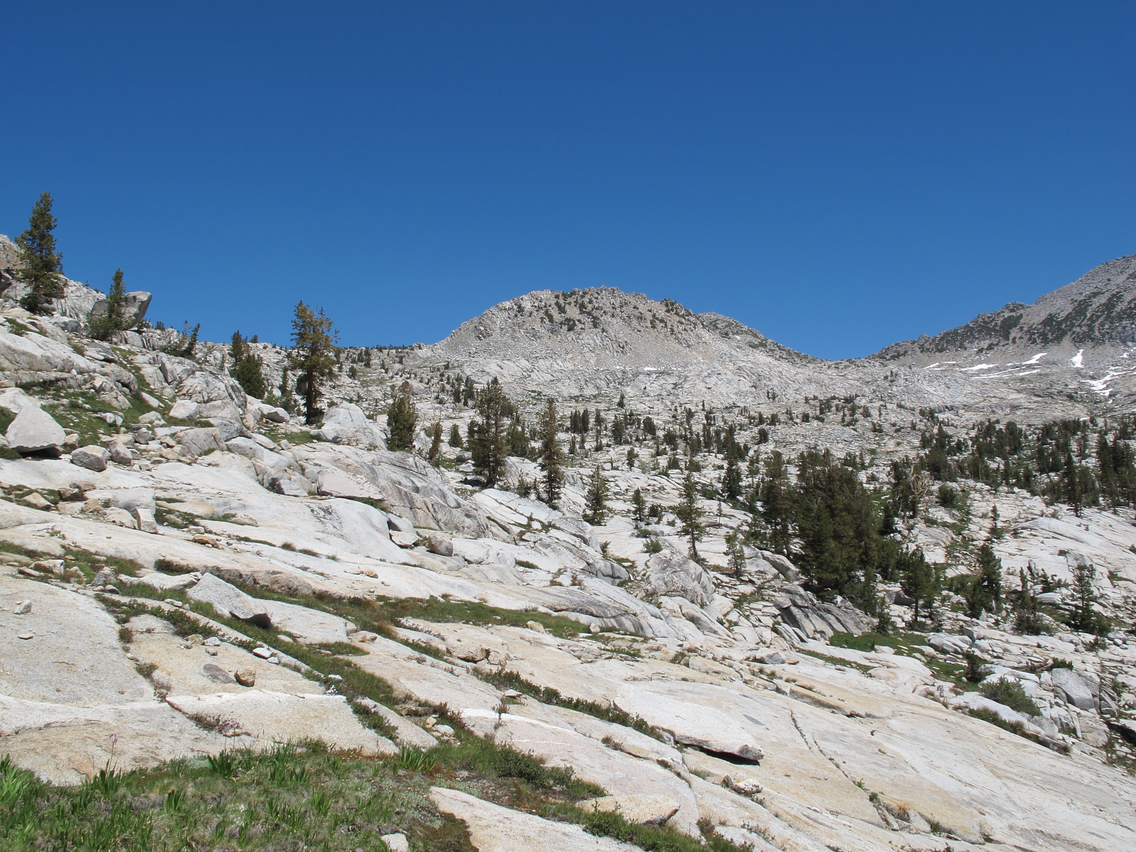
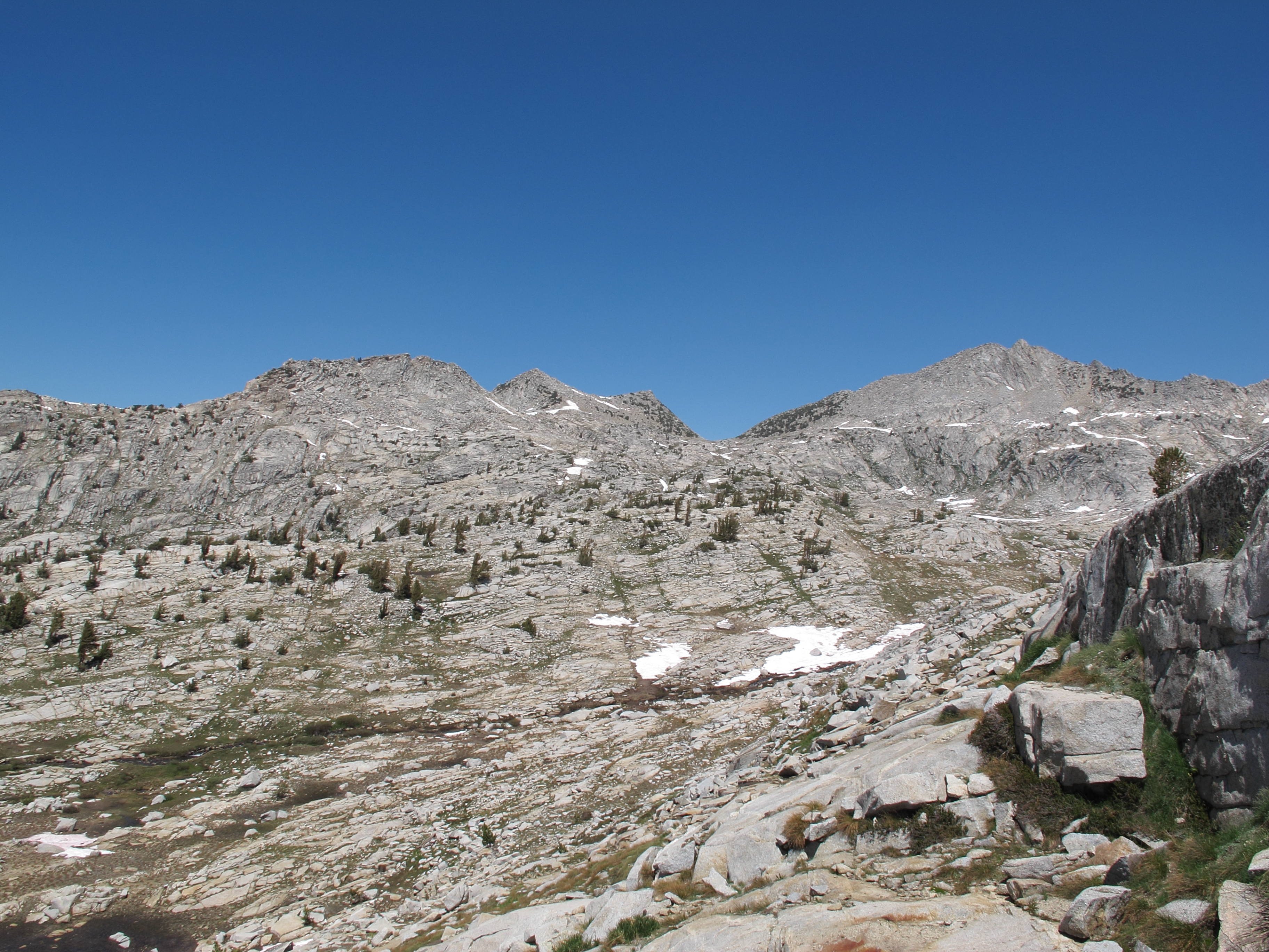
The South side of the pass is mostly a class 1 walk up on grass and granite ramps. The North side is a bit more mixed but is still mostly easy terrain with more class 2 than the South side.
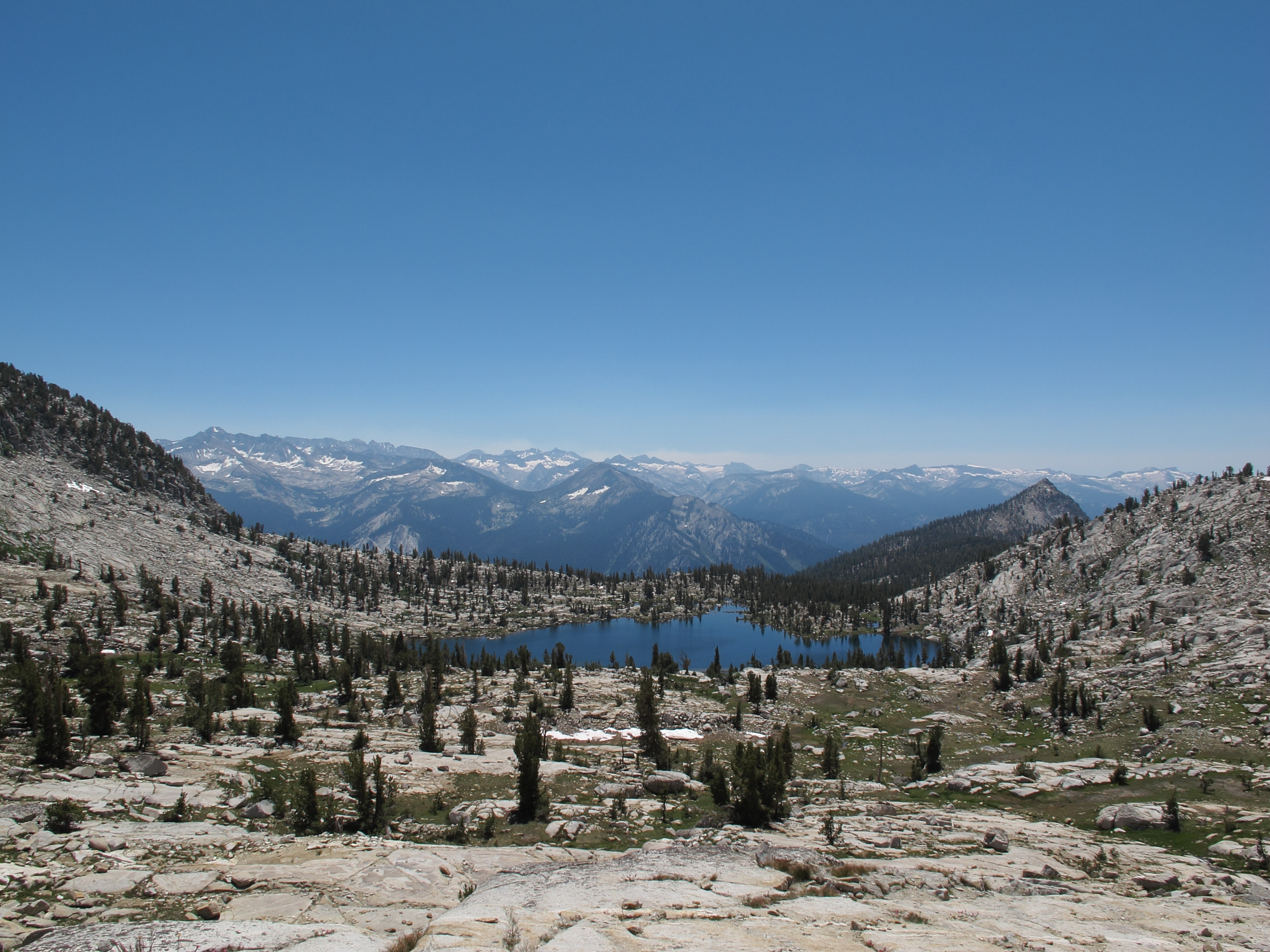
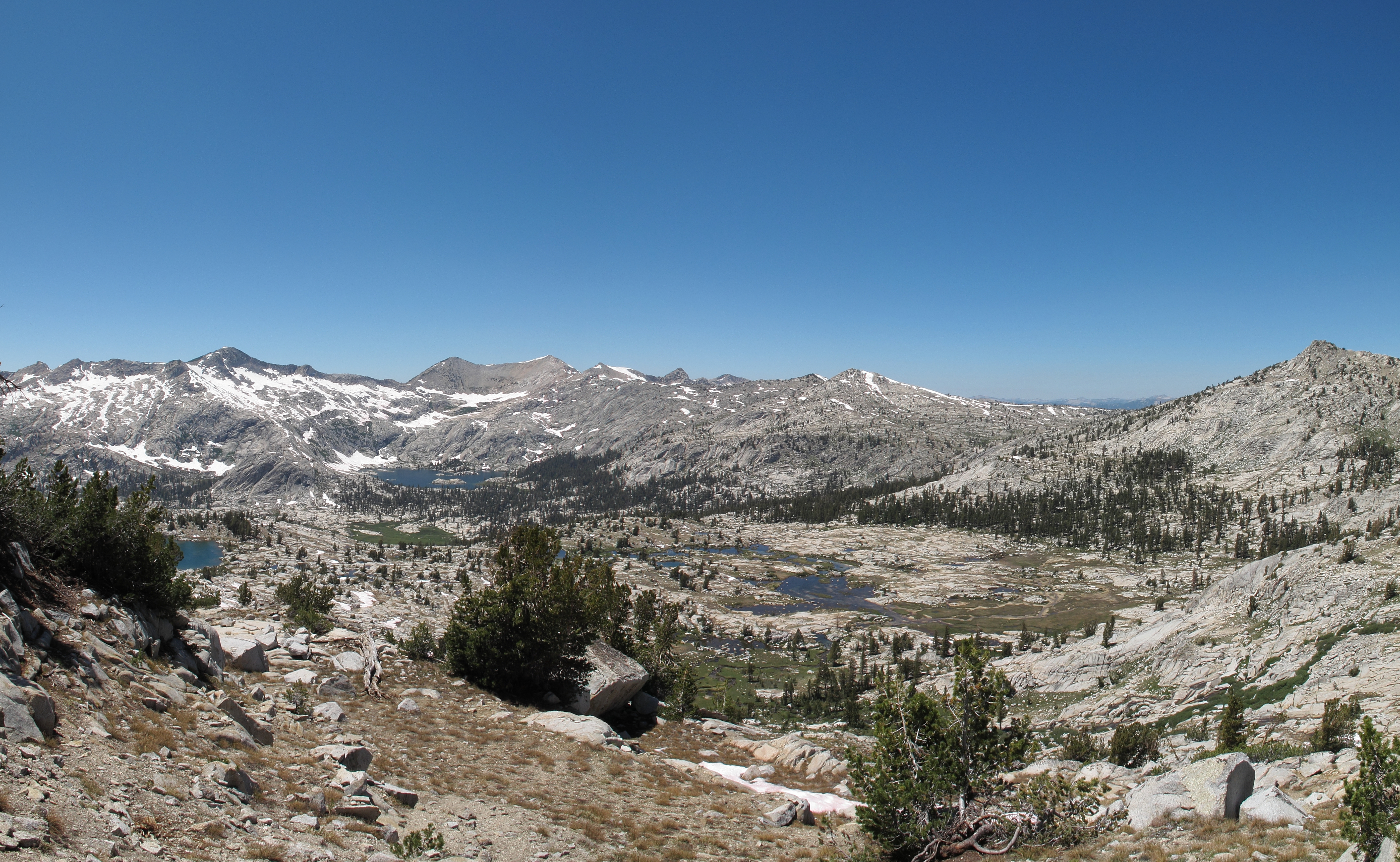

GENERAL OVERVIEW: This pass crosses between upper Copper Creek containing Grouse Lake and the NE cirque of Granite Creek
CLASS/DIFFICULTY: Class 1-2
LOCATION: Kings Canyon National Park 0.9 miles West of Munger Peak. HST Map
ELEVATION: 11,060
USGS TOPO MAP (7.5'): The Sphinx
ROUTE DESCRIPTION: If your heading North at about 10,280 there is a well established use trail leaving the main Copper Creek trail which will take you to a meadow. Cross the meadow and follow the drainage up on it's West side where you can resume the use trail to Grouse Lake. Grouse Lake itself can be crossed by either shore line.
The South side of the pass is mostly a class 1 walk up on grass and granite ramps. The North side is a bit more mixed but is still mostly easy terrain with more class 2 than the South side.