Thunderbolt Col
Posted: Sat Dec 19, 2015 3:37 pm
TITLE: Thunderbolt Col / Pass
Another pass which is not really a couloir.
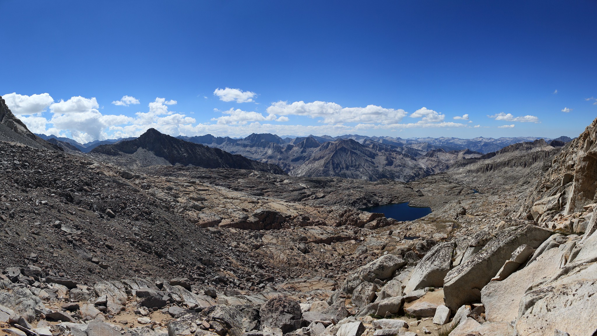
GENERAL OVERVIEW: The pass crosses between Upper Dusy Basin and Upper Palisade Basin
CLASS/DIFFICULTY: Class 2
LOCATION: Kings Canyon National Park - the highest saddle against the Palisades branching Palisade Basin and Dusy Basin. HST Map
ELEVATION: 12,390
USGS TOPO MAP (7.5'): North Palisade
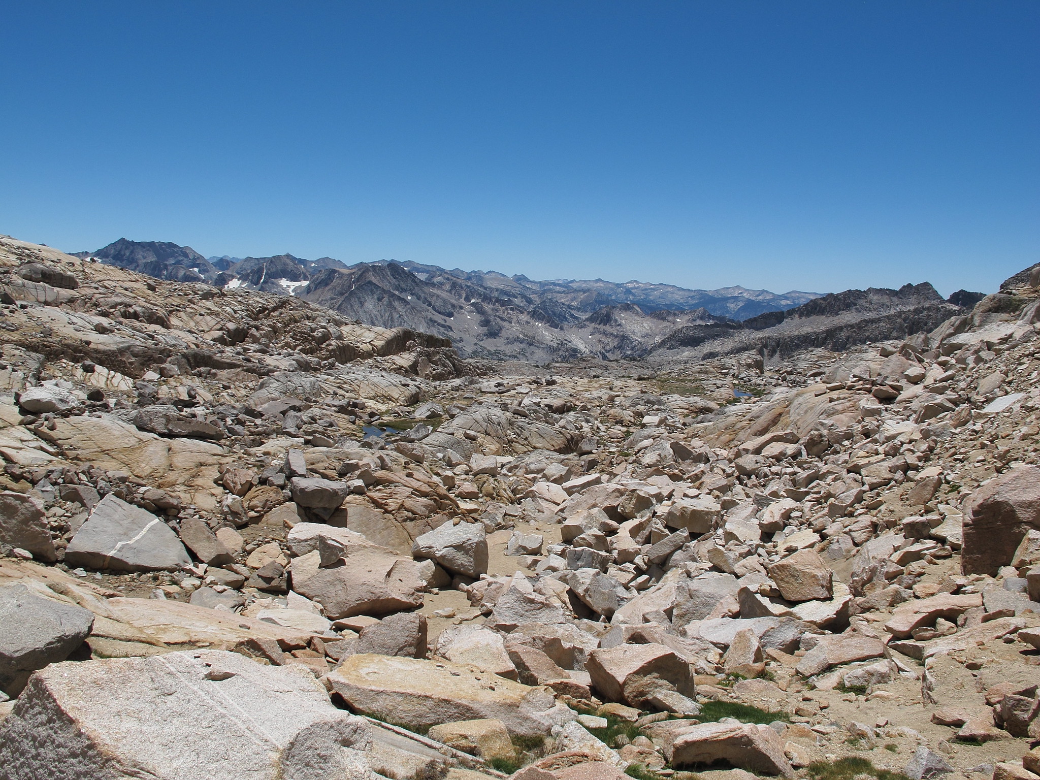
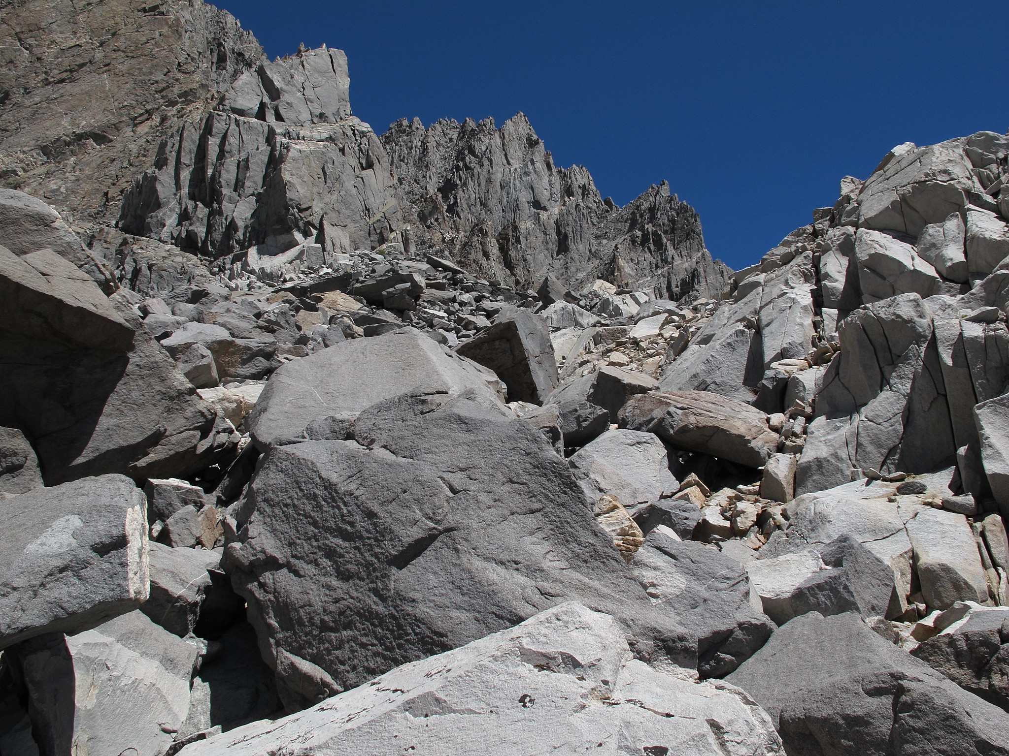
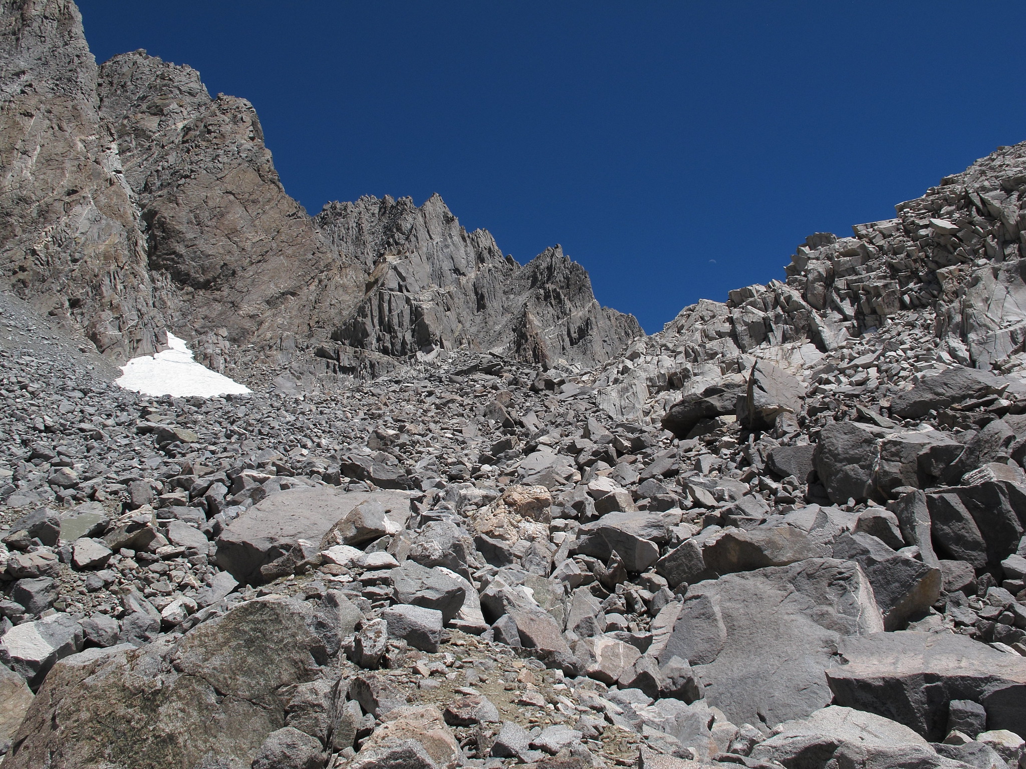
ROUTE DESCRIPTION: This pass is actually quite easy from either side. I have crossed it traveling both directions.
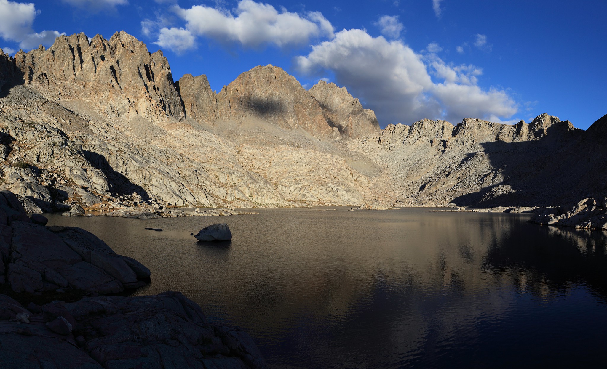
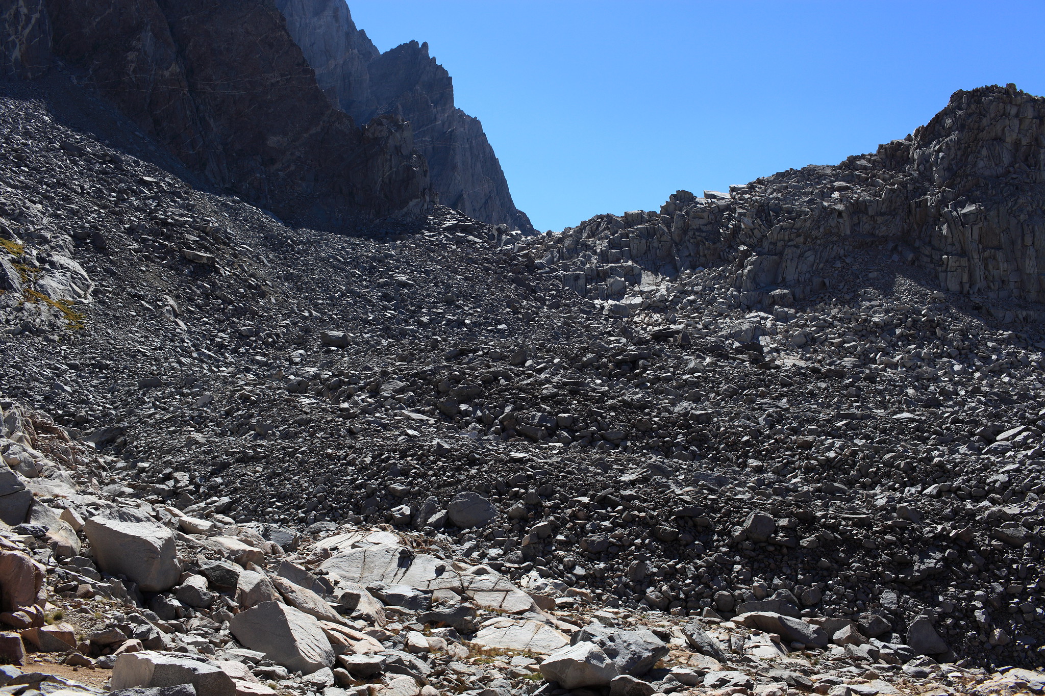
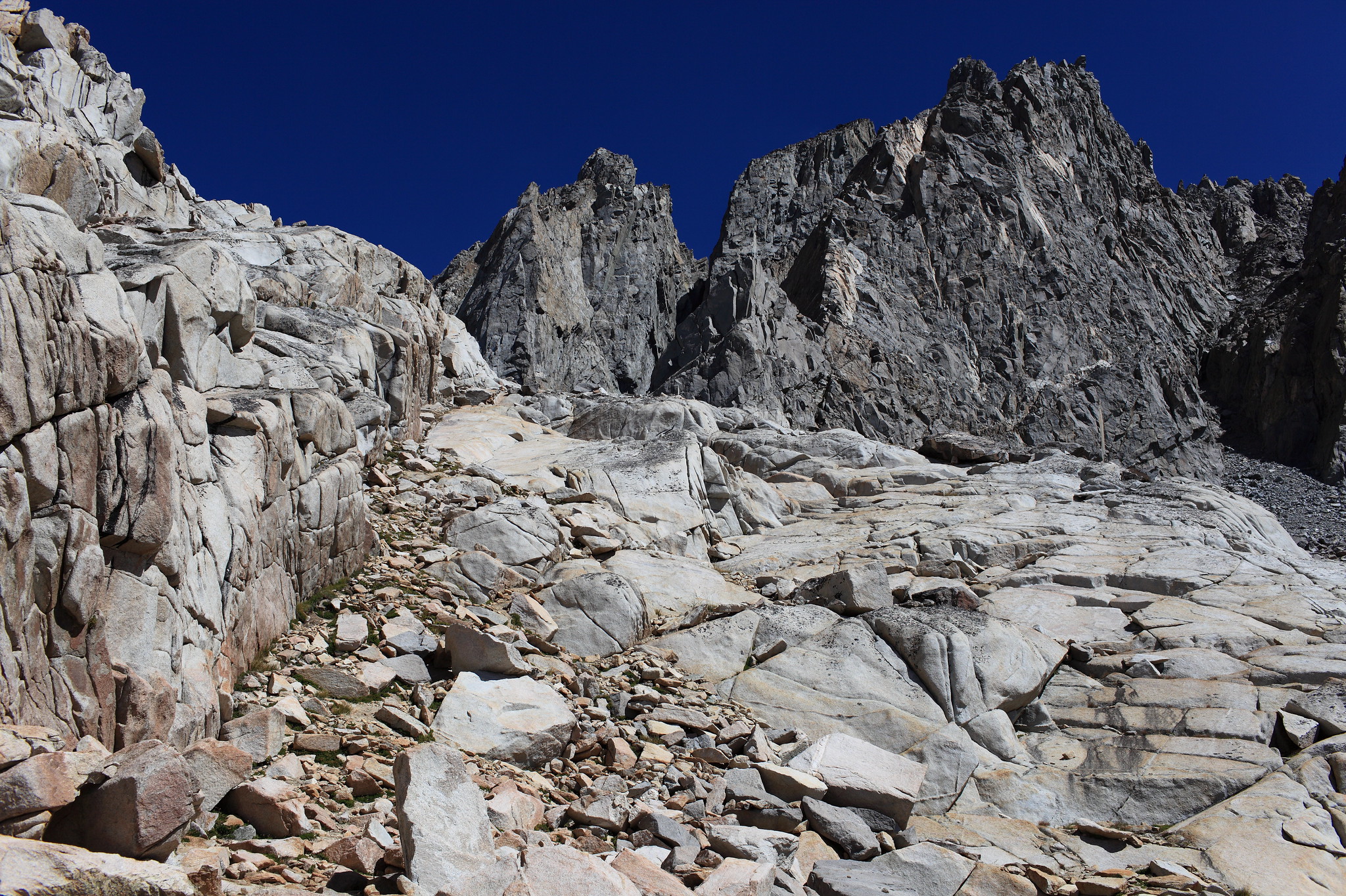
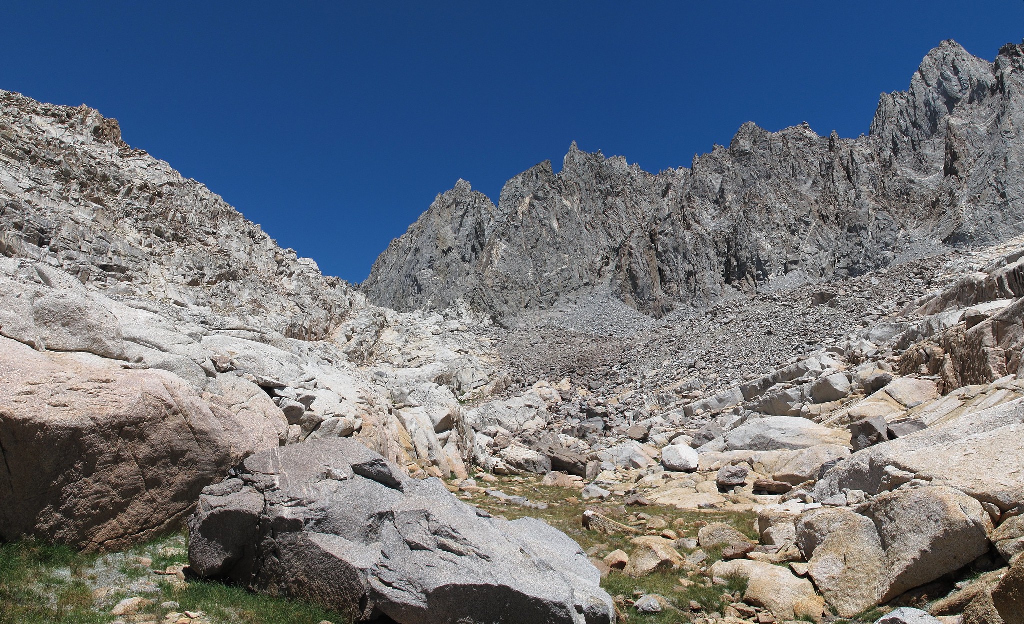
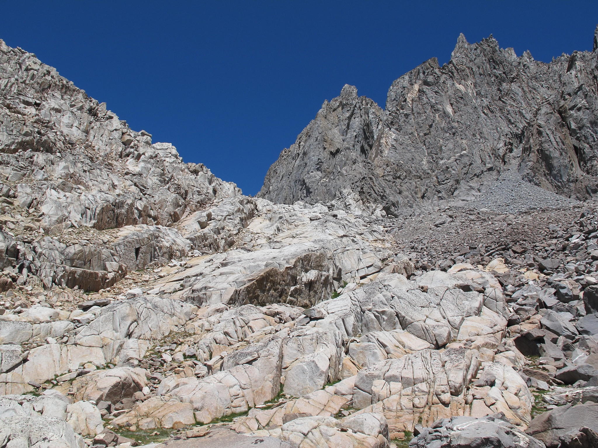
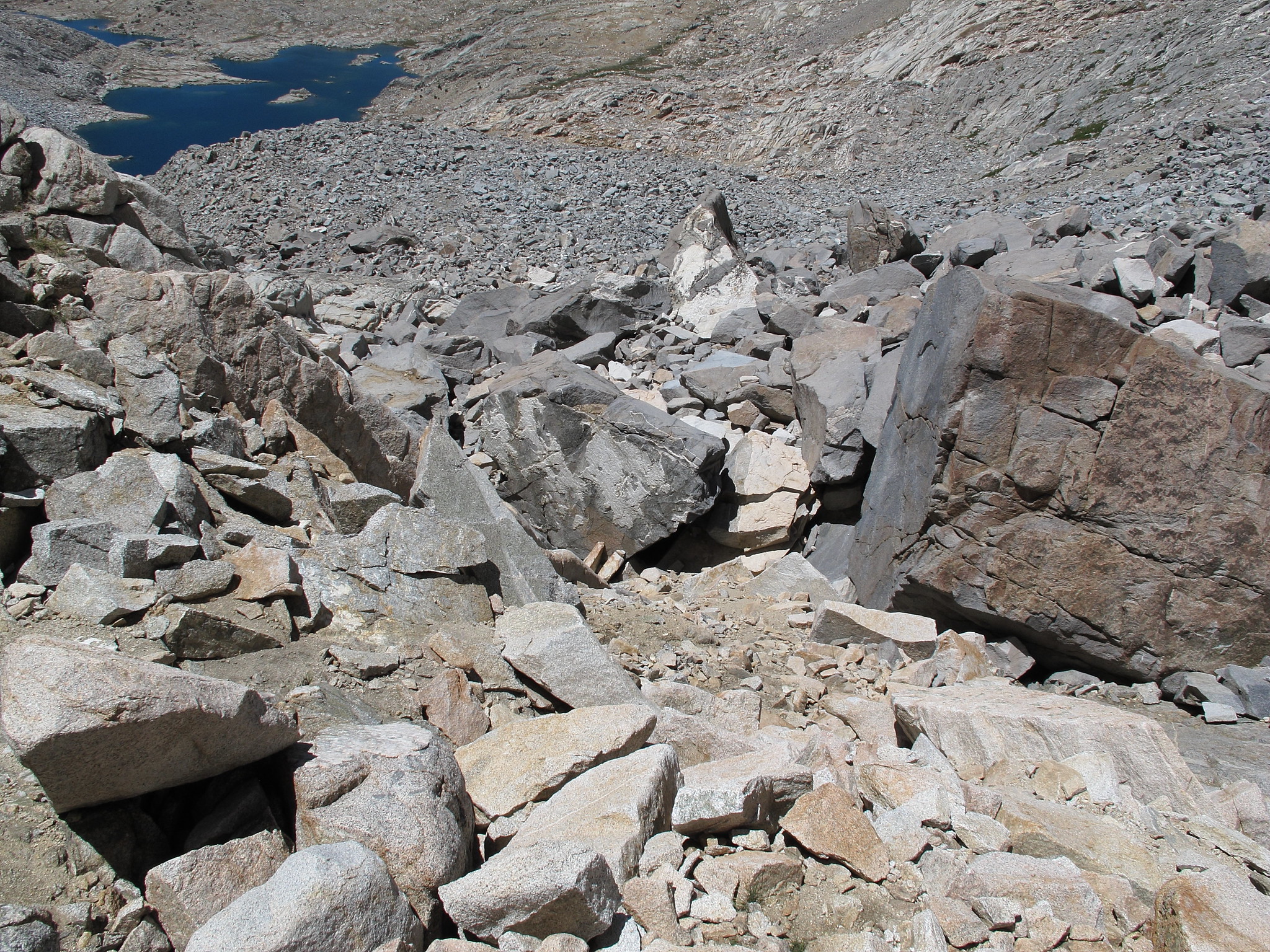
Probably the most complex route finding section of this pass involves leaving the upper most lake in Dusy Basin. There is a large section of granite that is a mess of shelves and micro cliffs. Many routes can be taken through it but I think one of the easiest is a large obvious cut the leads up which is mostly grass ramps. You can take this until much higher up and then cut over to the pass. Once on the top of this entire white section of granite will you cross onto the black rock up to the pass. Most of this rock is surprisingly stable. The last most difficult element is just before you reach the top. There are car sized boulders and there are very few options for climbing through them but it should not be difficult to find one of them.
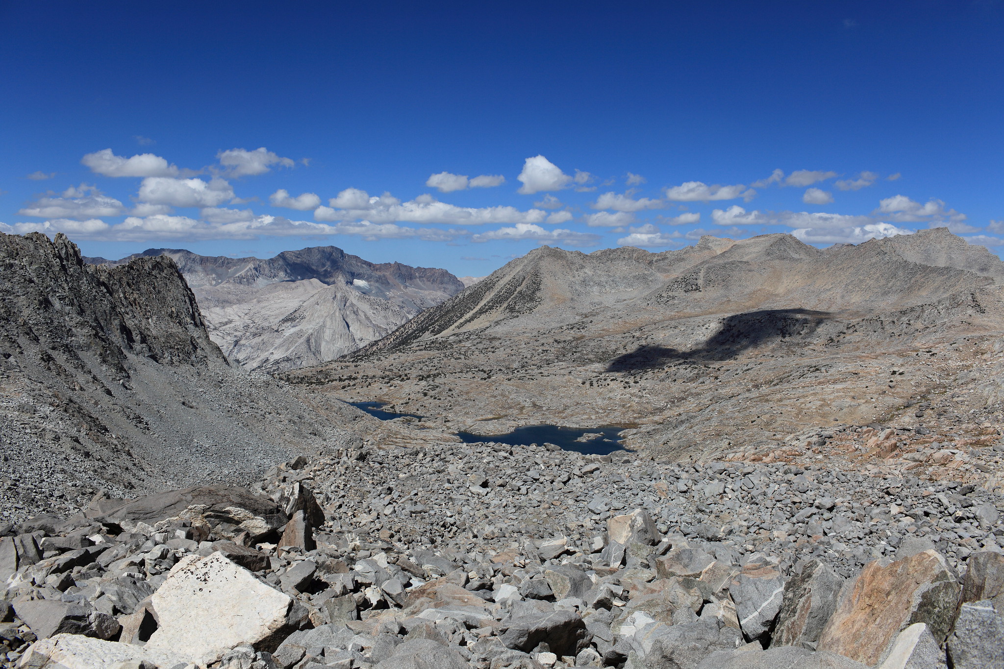
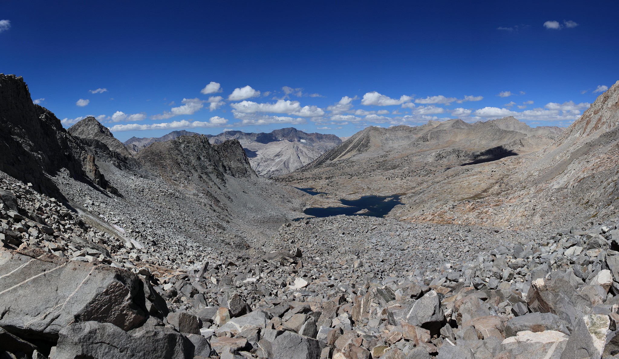
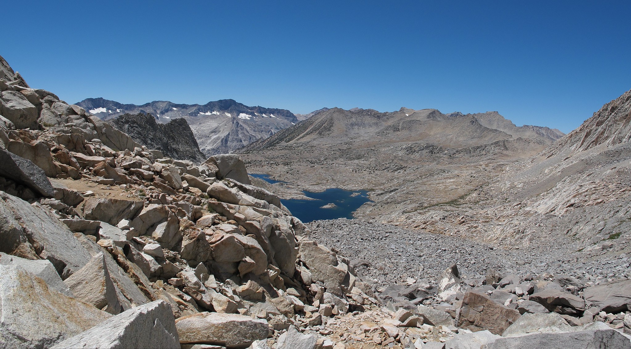
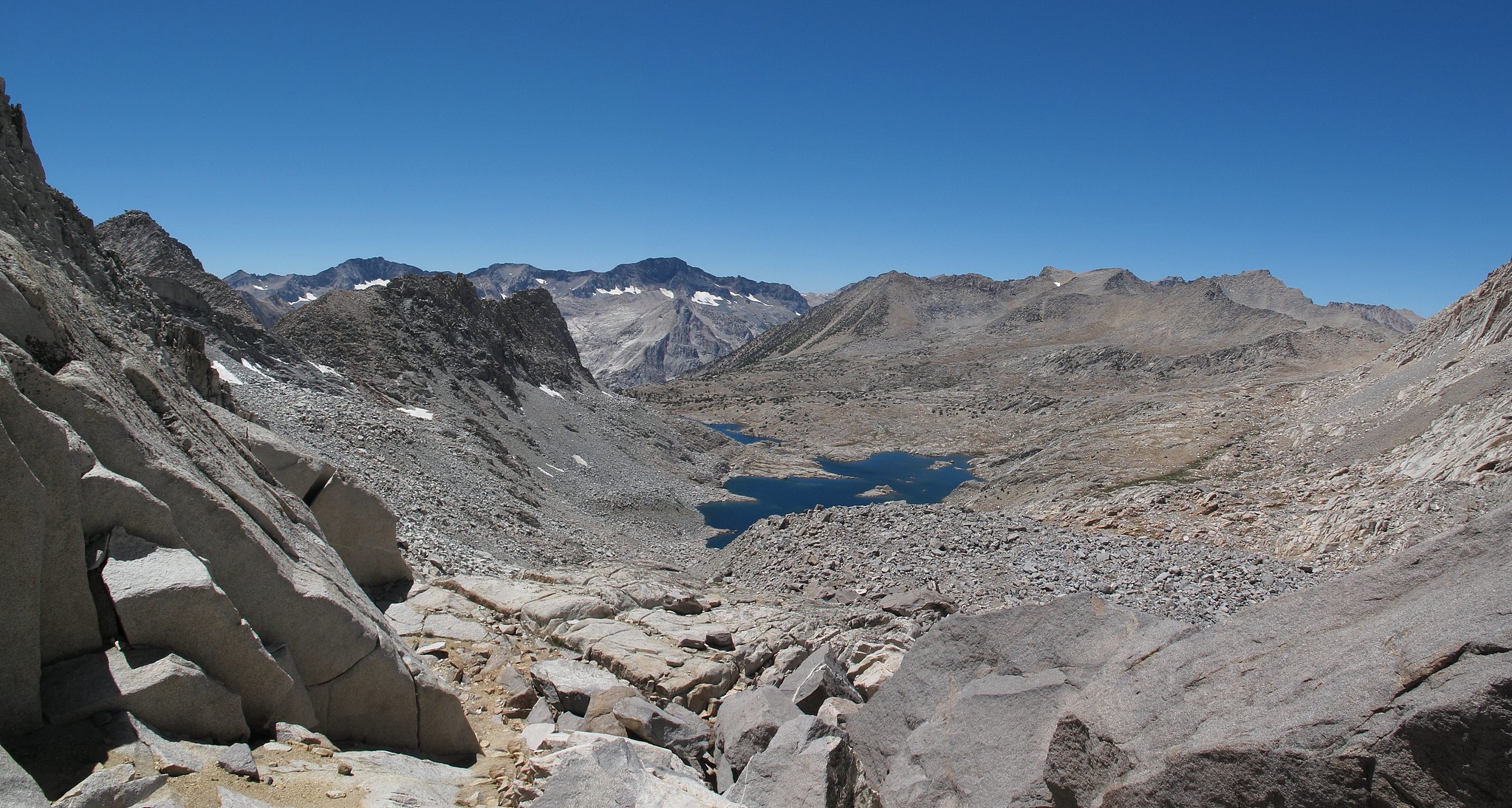
The South side of the pass has a large ramp system that angles down which is quite easy. The crux of it is a steep slab of rock which I simply walk up or down while hugging the cliff wall. Follow most of the drainage route to the upper Barrett Lake.


Another pass which is not really a couloir.
GENERAL OVERVIEW: The pass crosses between Upper Dusy Basin and Upper Palisade Basin
CLASS/DIFFICULTY: Class 2
LOCATION: Kings Canyon National Park - the highest saddle against the Palisades branching Palisade Basin and Dusy Basin. HST Map
ELEVATION: 12,390
USGS TOPO MAP (7.5'): North Palisade
ROUTE DESCRIPTION: This pass is actually quite easy from either side. I have crossed it traveling both directions.
Probably the most complex route finding section of this pass involves leaving the upper most lake in Dusy Basin. There is a large section of granite that is a mess of shelves and micro cliffs. Many routes can be taken through it but I think one of the easiest is a large obvious cut the leads up which is mostly grass ramps. You can take this until much higher up and then cut over to the pass. Once on the top of this entire white section of granite will you cross onto the black rock up to the pass. Most of this rock is surprisingly stable. The last most difficult element is just before you reach the top. There are car sized boulders and there are very few options for climbing through them but it should not be difficult to find one of them.
The South side of the pass has a large ramp system that angles down which is quite easy. The crux of it is a steep slab of rock which I simply walk up or down while hugging the cliff wall. Follow most of the drainage route to the upper Barrett Lake.