Alpine Pass
Posted: Sat Dec 19, 2015 3:05 pm
TITLE: Alpine Pass
I disagree that this is even a pass but it's listed in books as such and I have crossed it so here you go.
GENERAL OVERVIEW: This pass connects the head of Alpine Creek into Tunemah Lake
CLASS/DIFFICULTY: Class 2
LOCATION: Kings Canyon National Park on the South end of Tunemah Lake. HST Map
ELEVATION: 11,180
USGS TOPO MAP (7.5'): Mt. Goddard
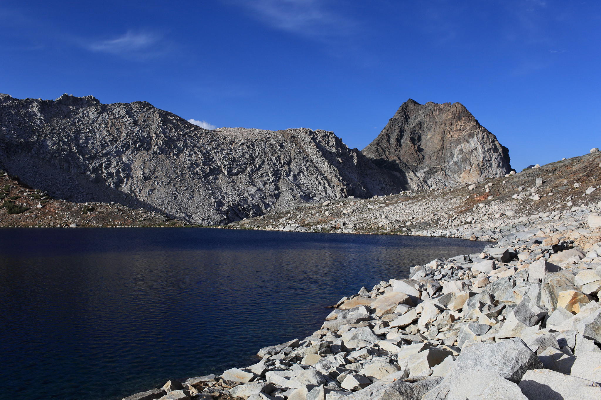
ROUTE DESCRIPTION: From Alpine Creek most any route can be taken up. I aimed for some slabs of rock to avoid more talus hoping for as long as I could. Once near and on the top you will have to talus hop continuously around the SE side of Tunemah Lake.

I disagree that this is even a pass but it's listed in books as such and I have crossed it so here you go.
GENERAL OVERVIEW: This pass connects the head of Alpine Creek into Tunemah Lake
CLASS/DIFFICULTY: Class 2
LOCATION: Kings Canyon National Park on the South end of Tunemah Lake. HST Map
ELEVATION: 11,180
USGS TOPO MAP (7.5'): Mt. Goddard
ROUTE DESCRIPTION: From Alpine Creek most any route can be taken up. I aimed for some slabs of rock to avoid more talus hoping for as long as I could. Once near and on the top you will have to talus hop continuously around the SE side of Tunemah Lake.