Don't Be A Smart Pass
Posted: Tue Nov 05, 2013 9:07 pm
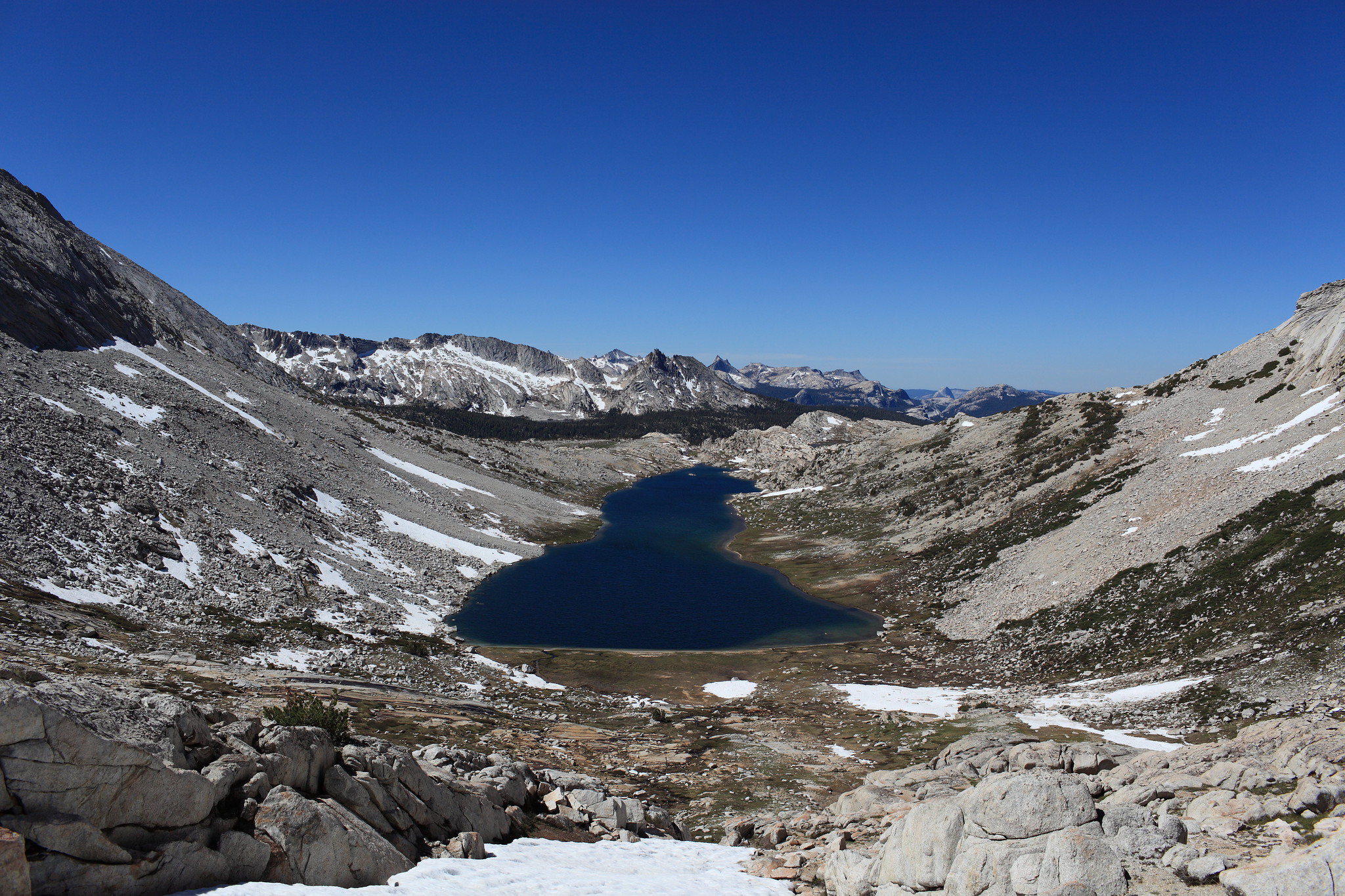
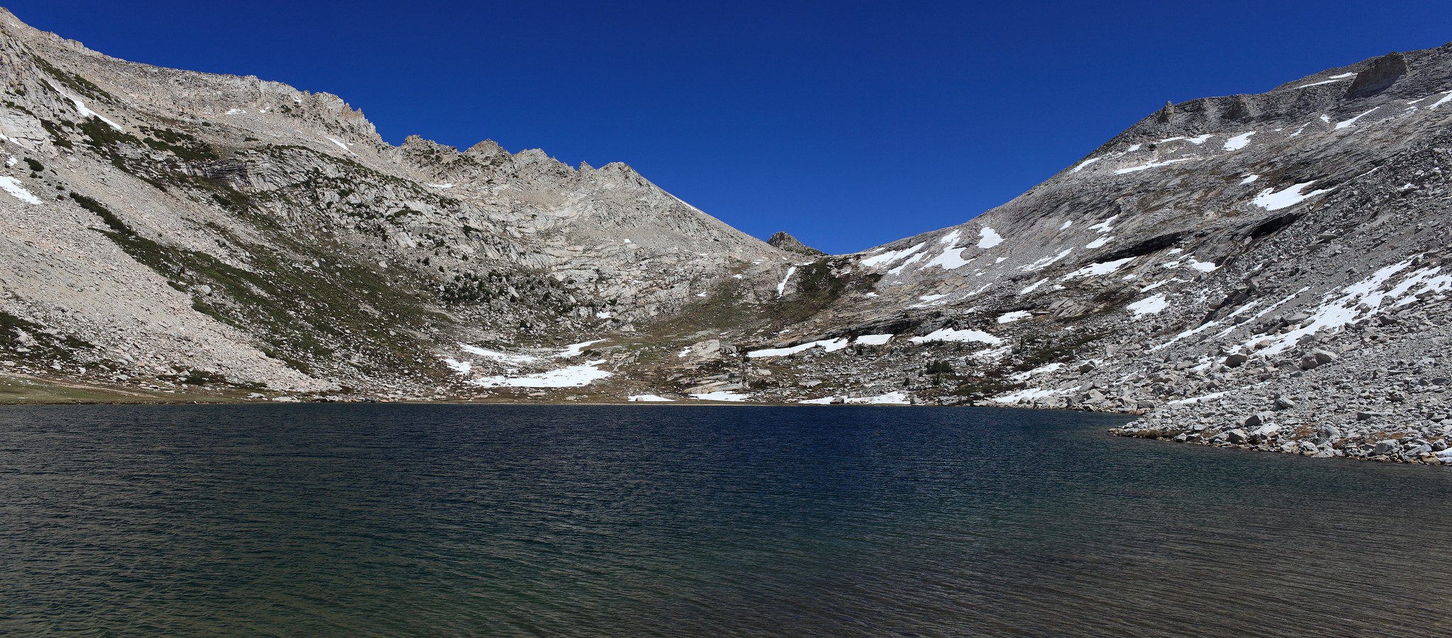
GENERAL OVERVIEW: This pass crosses between the Upper McCabe Lake and Roosevelt Lake / Conness Creek
CLASS/DIFFICULTY: Class 2
LOCATION: Yosemite National Park HST Map
ELEVATION: 11,200
USGS TOPO MAP (7.5'): Tioga Pass
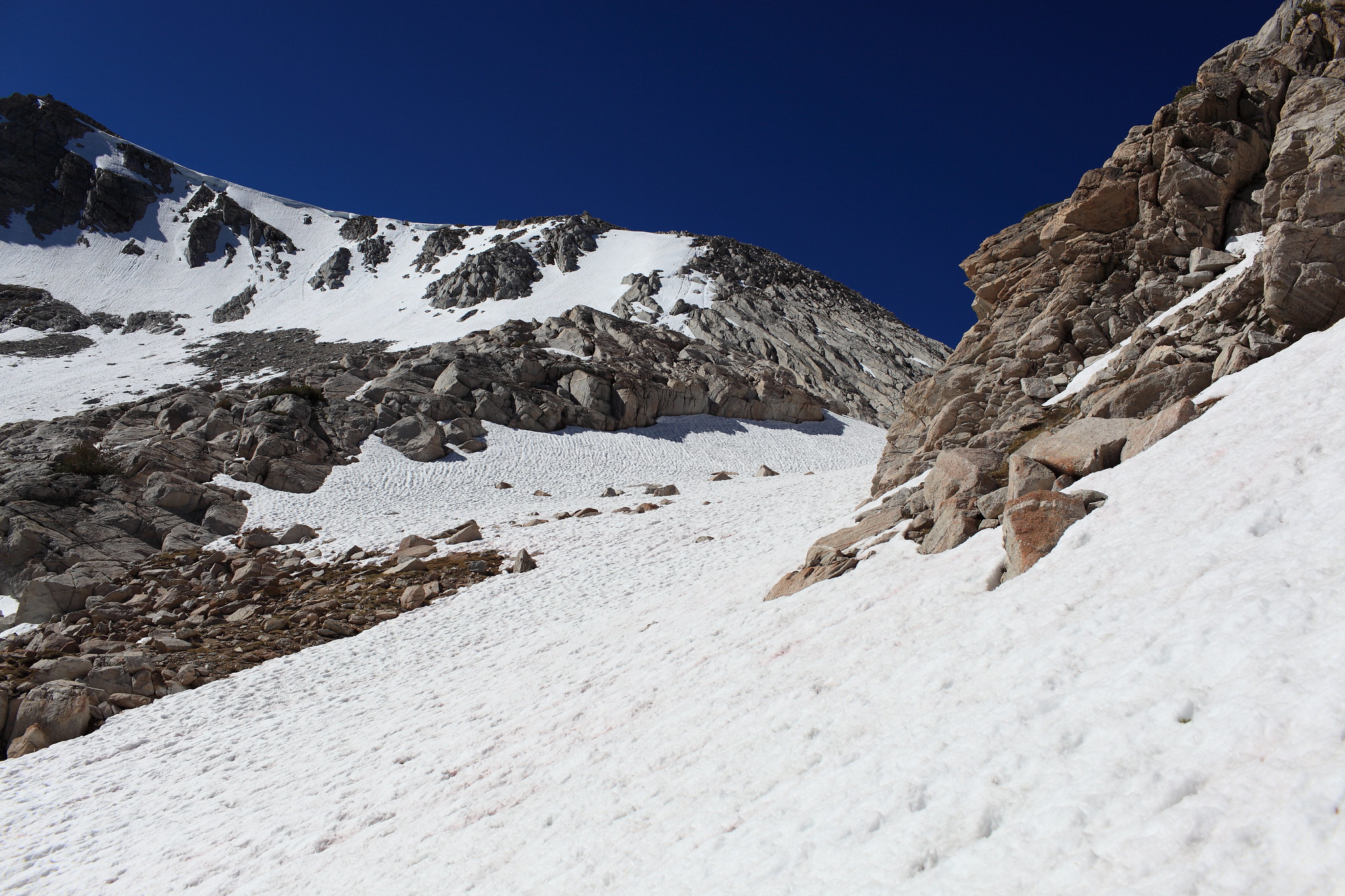
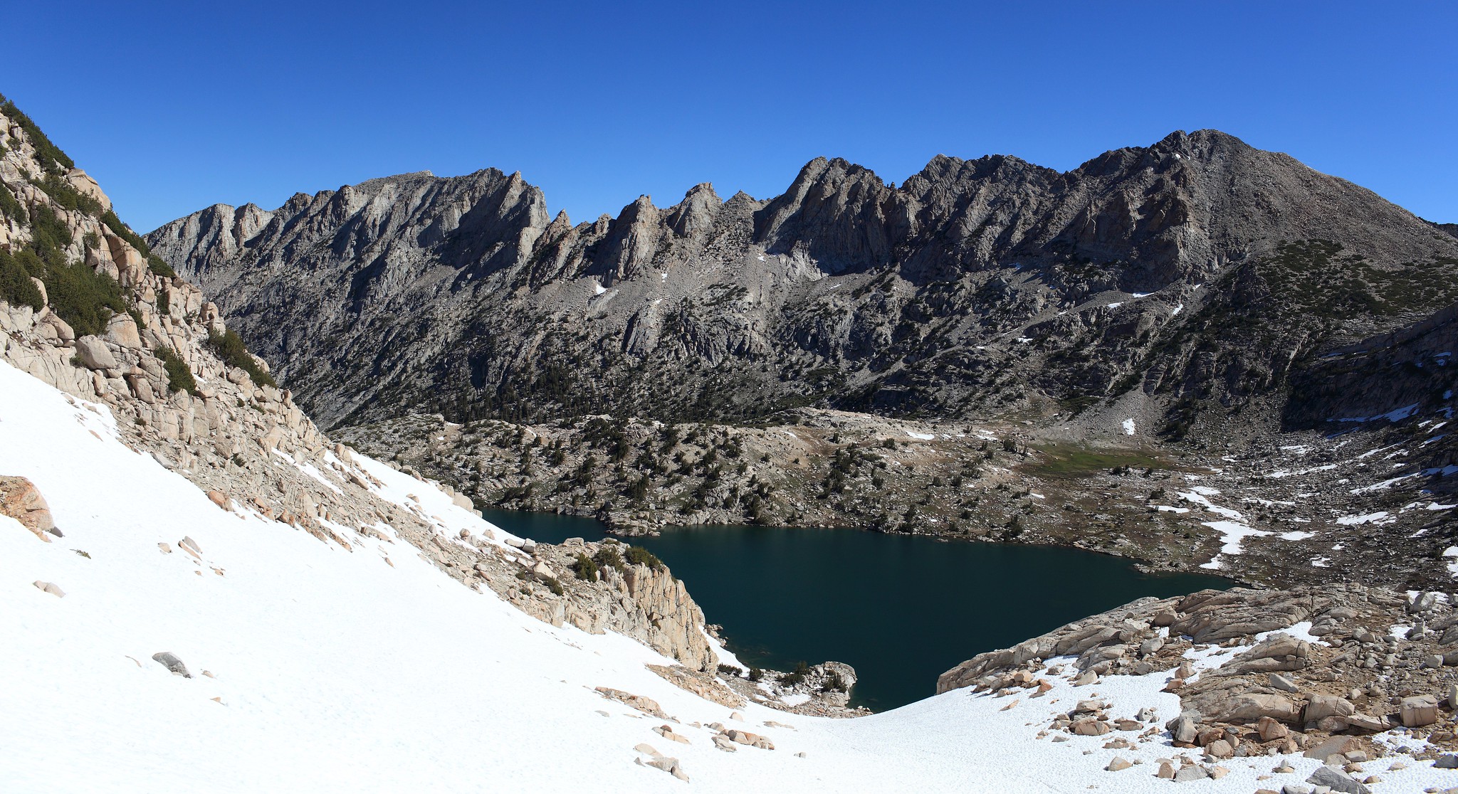
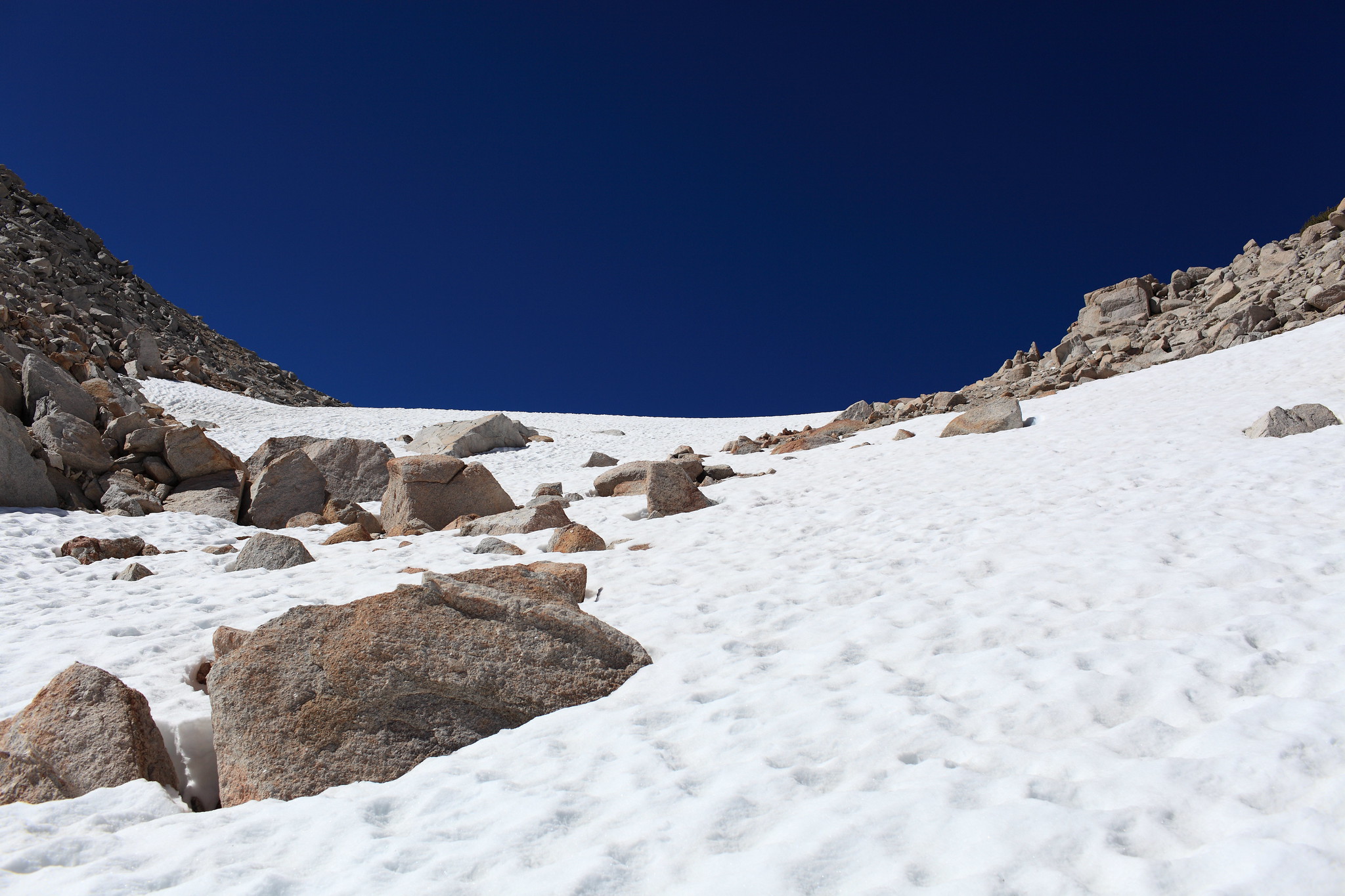
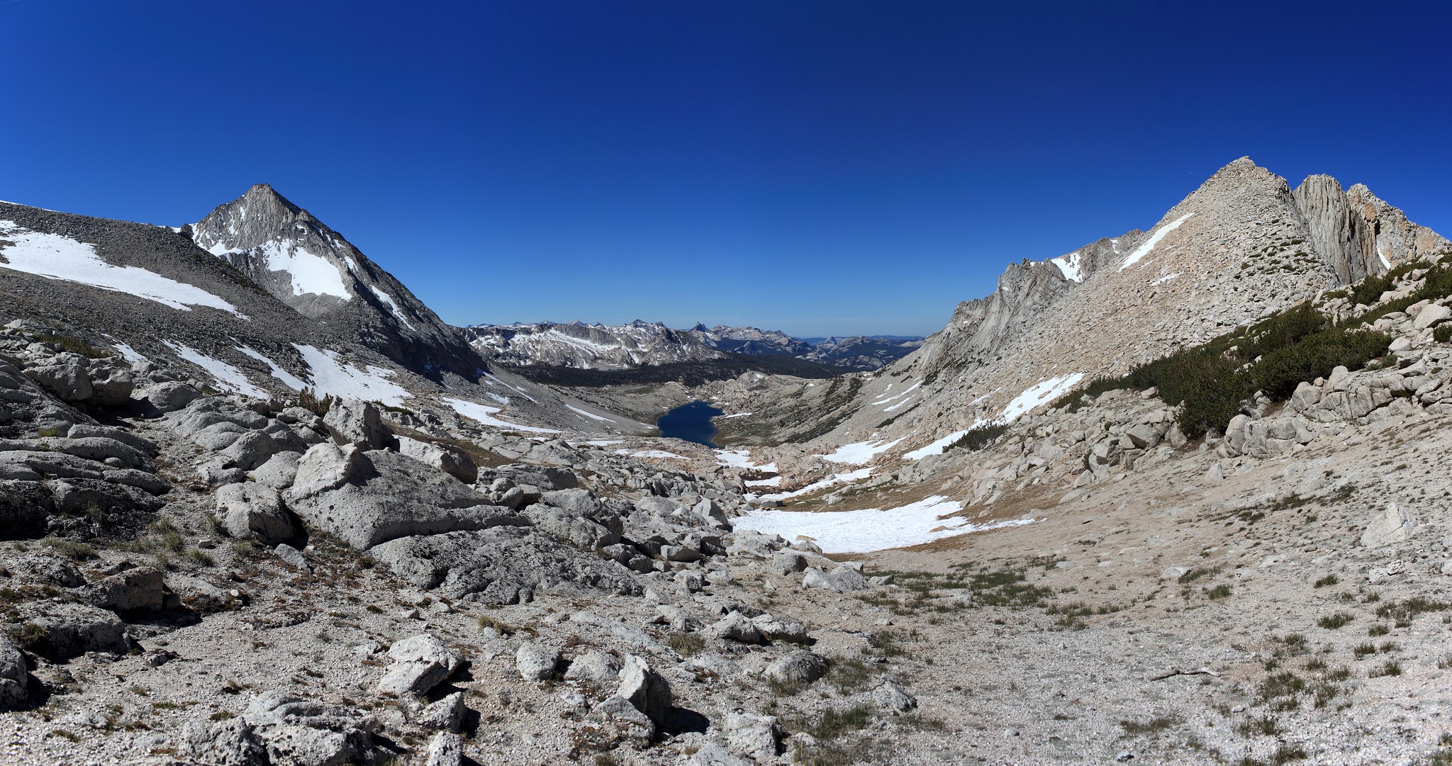
ROUTE DESCRIPTION: From Upper McCabe Lake go around the Southern shore until you reach a rib coming down blocking your view of the pass. It's best to stay at lake level as climbing the rib puts you in some tricky rock mixed with some small trees. From here I cannot give much insight into the climb to the top as the snow cover was about 95% however the slopes were easily climbed without the need of an ice axe. The Southern slope takes you down easy terrain. I stayed in or near a small chute directly in the center of the pass.


CLASS/DIFFICULTY: Class 2
LOCATION: Yosemite National Park HST Map
ELEVATION: 11,200
USGS TOPO MAP (7.5'): Tioga Pass
ROUTE DESCRIPTION: From Upper McCabe Lake go around the Southern shore until you reach a rib coming down blocking your view of the pass. It's best to stay at lake level as climbing the rib puts you in some tricky rock mixed with some small trees. From here I cannot give much insight into the climb to the top as the snow cover was about 95% however the slopes were easily climbed without the need of an ice axe. The Southern slope takes you down easy terrain. I stayed in or near a small chute directly in the center of the pass.