Matterhorn Pass
Posted: Tue Nov 05, 2013 8:25 pm
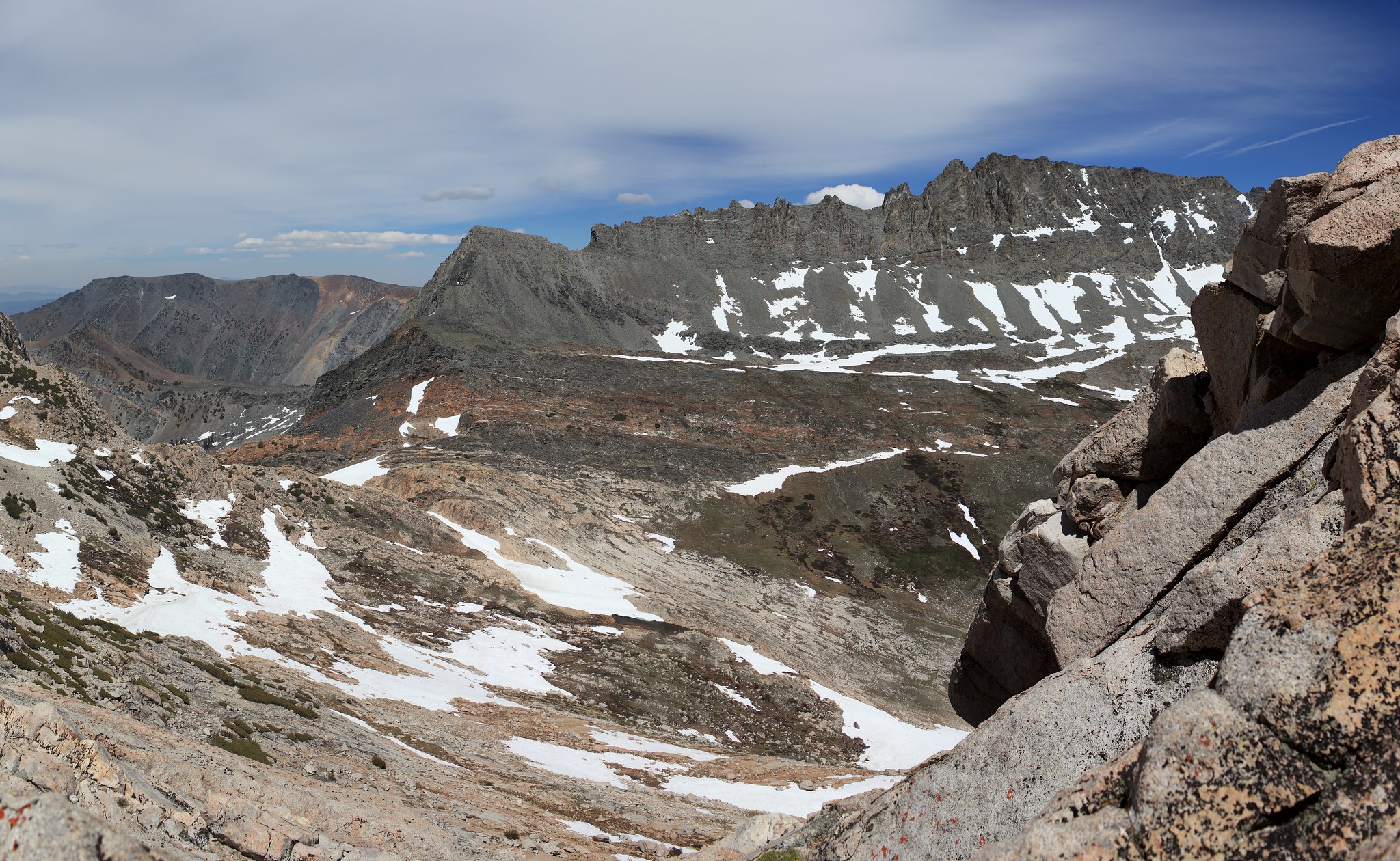
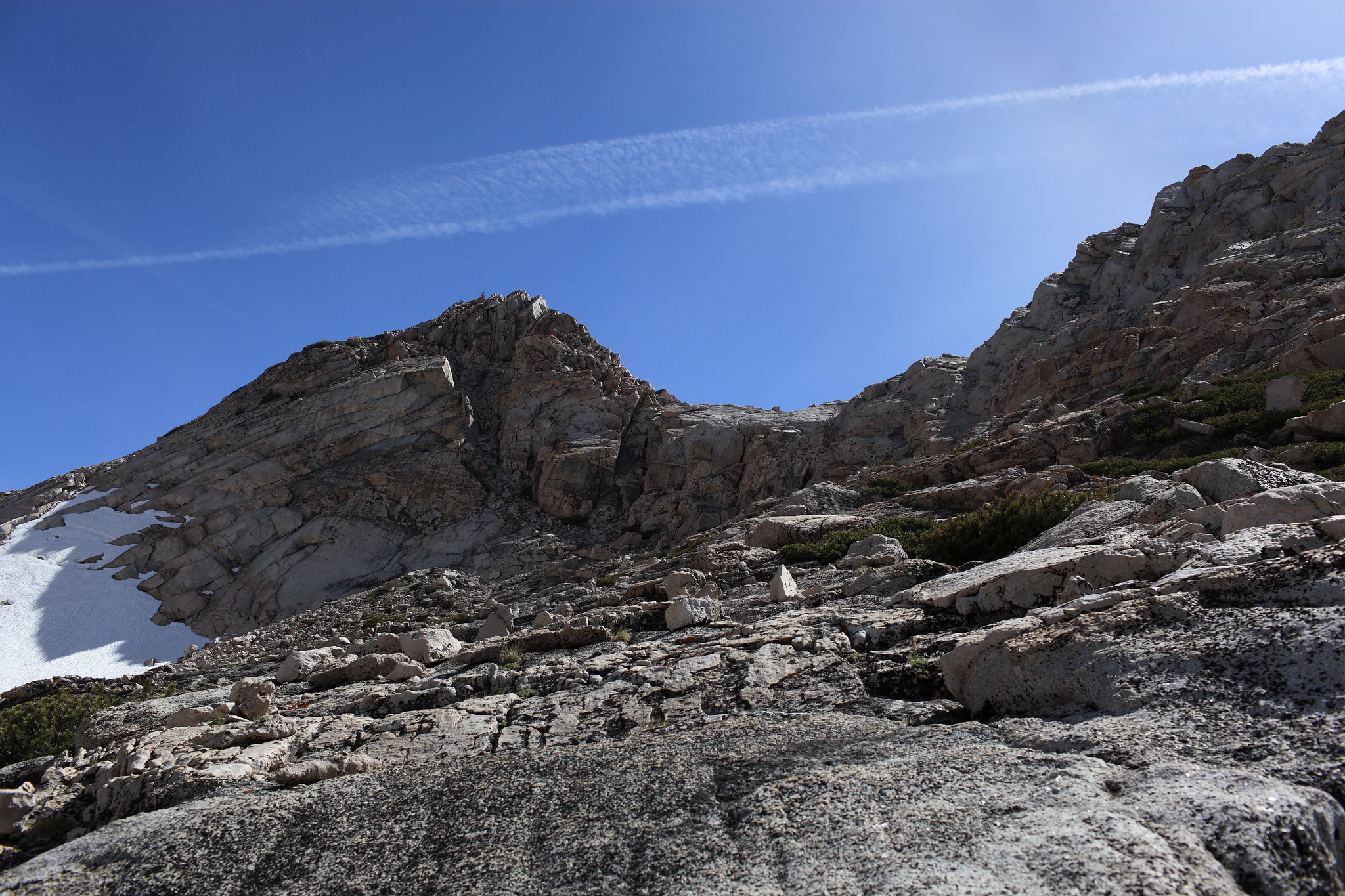
GENERAL OVERVIEW: This pass leads between Matterhorn Canyon and Spiller Creek
CLASS/DIFFICULTY: Class 2-3
LOCATION: Yosemite National Park HST Map
ELEVATION: 11,320
USGS TOPO MAP (7.5'): Matterhorn Peak
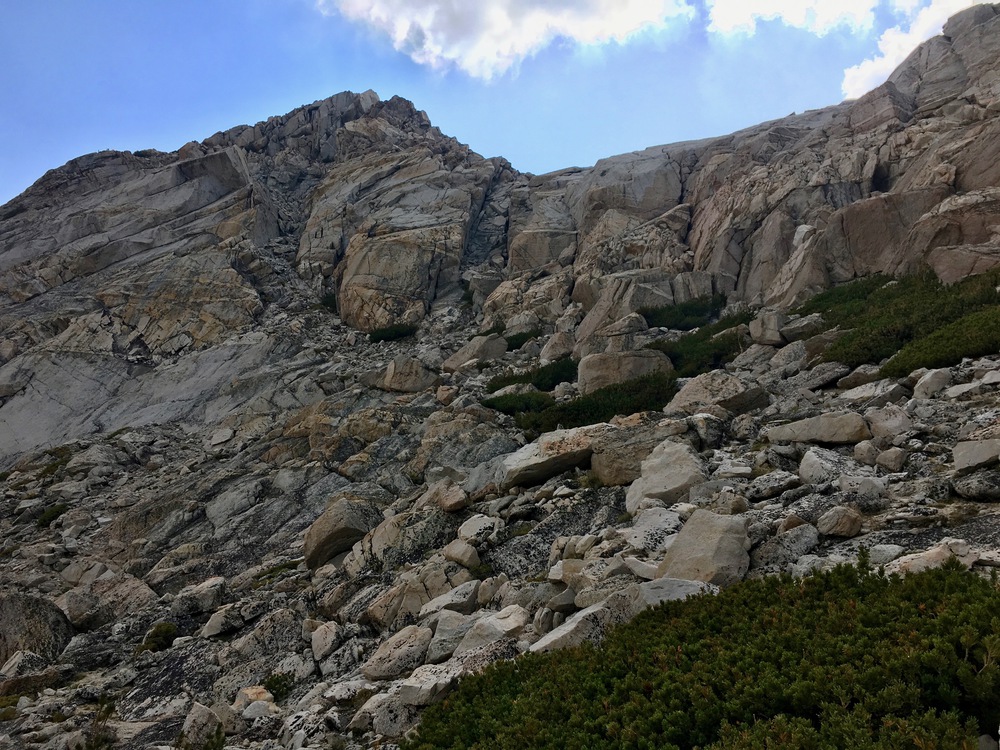
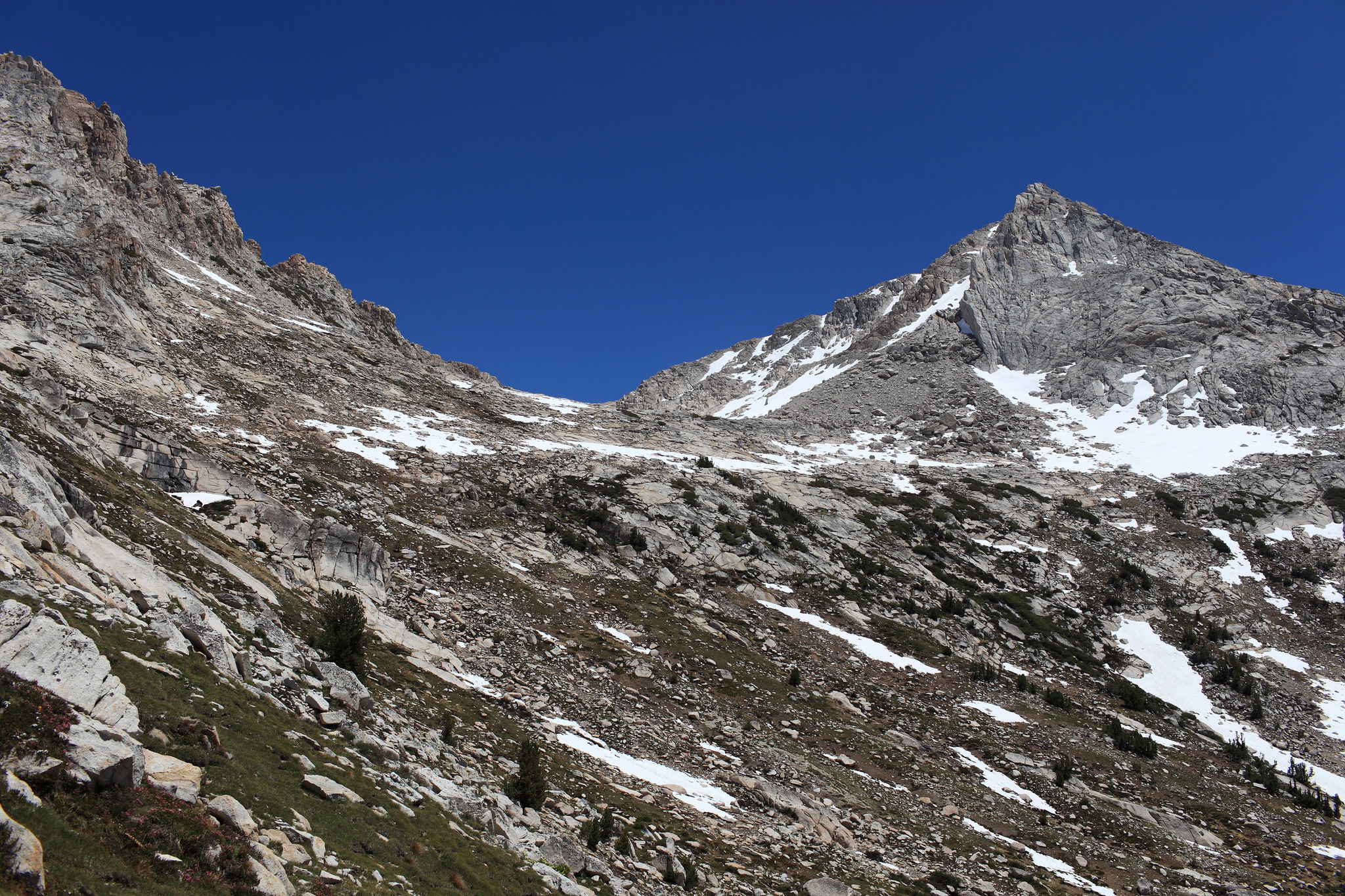
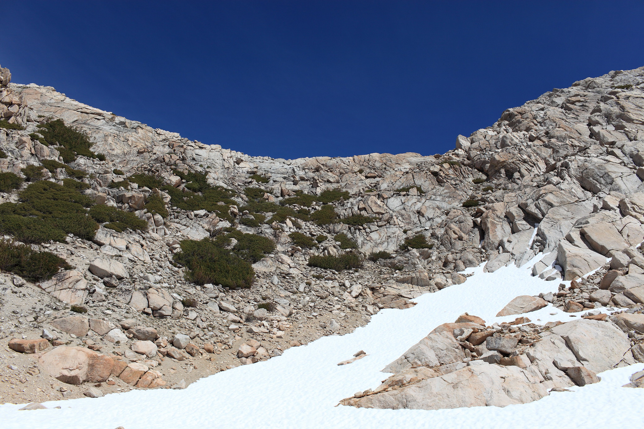
ROUTE DESCRIPTION: From Matterhorn Canyon ascend easy class 2 grassy slopes lined with smaller talus until about 150 feet on steeper terrain takes you to the top of the pass. It may be possible to maintain climbing class 2 slopes but I had at least one 15 foot section of class 3 before I reached the top.
From the top you have two options. The first which is the only one talked about in guide books is to turn right and climb slightly higher to enter a very steep loose chute. Looking at this chute at the time I simply said screw that! Perhaps once in it it's not as bad as it looked to me but I would use caution while in it.
The other option which I took is to turn left and begin up the ridge a bit towards Matterhorn Peak. You will find yourself on a steep hill side with loose sandy and sometimes vertical class 3 climbing. Extreme caution should be used to safely navigate down this.
To be fair my over all opinion of this pass might be a bit over stated in caution due to the fact that extremely high ice cold winds turned it into a terrifying experience.


CLASS/DIFFICULTY: Class 2-3
LOCATION: Yosemite National Park HST Map
ELEVATION: 11,320
USGS TOPO MAP (7.5'): Matterhorn Peak
ROUTE DESCRIPTION: From Matterhorn Canyon ascend easy class 2 grassy slopes lined with smaller talus until about 150 feet on steeper terrain takes you to the top of the pass. It may be possible to maintain climbing class 2 slopes but I had at least one 15 foot section of class 3 before I reached the top.
From the top you have two options. The first which is the only one talked about in guide books is to turn right and climb slightly higher to enter a very steep loose chute. Looking at this chute at the time I simply said screw that! Perhaps once in it it's not as bad as it looked to me but I would use caution while in it.
The other option which I took is to turn left and begin up the ridge a bit towards Matterhorn Peak. You will find yourself on a steep hill side with loose sandy and sometimes vertical class 3 climbing. Extreme caution should be used to safely navigate down this.
To be fair my over all opinion of this pass might be a bit over stated in caution due to the fact that extremely high ice cold winds turned it into a terrifying experience.