Page 3 of 3
Re: Hoffman Mtn opening moves
Posted: Thu May 09, 2013 8:36 am
by giantbrookie
Neat route Dave. I actually didn't think of staying that low. I sidehilled from the parking area and I recall going through the saddle S of 9322. It is too bad that this (2008) is the most recent multinight backpack trip I've done. The summer schedule has just been too busy these past years (and will be again in 2013).
Re: Tunepite becomes Tunechuck 7/31-8/4-(linked to photos)
Posted: Thu May 09, 2013 9:02 am
by Wandering Daisy
I dropped down towards Goddard Canyon from the lakes below Tunemah a few years back. I went down about a third of the way and I think the remainder is definitely do-able. There may be a few places where you have to lower your pack down short drop-offs. I pretty much stayed on rock slabs to avoid talus and brush. I thought Upper Alpine Creek was a lot more spectacular than Upper Blue Canyon. I came in from the north, over the east shoulder of Finger Peak, Dykman Pass. The lake basin northeast of Finger Peak is really beautiful. I wonder if any of those lakes have fish.
Re: Tunepite becomes Tunechuck 7/31-8/4-(linked to photos)
Posted: Thu May 09, 2013 9:17 am
by sekihiker
SSSdave wrote:sekihiker wrote:Dave -
Do you annotate the Google images directly in the program or take a screen shot and annotate them in another program.
Bill
Open Photoshop, screen shot with mwsnap 3, <ctrl A><ctrl C>, open new in Photoshop, <ctrl V> then draw lines, add text, resize.
Thanks, Dave.
Re: Tunepite becomes Tunechuck 7/31-8/4-(linked to photos)
Posted: Thu May 09, 2013 9:53 am
by John Dittli
Wandering Daisy wrote:I dropped down towards Goddard Canyon from the lakes below Tunemah a few years back. I went down about a third of the way and I think the remainder is definitely do-able. There may be a few places where you have to lower your pack down short drop-offs.
I've have gone all the way down to Goddard Canyon from Tunemah Pk, albeit on skis. The route "goes" via the creek, but ends in a spectacular waterfall just above the floor of Goddard Canyon. We bypassed to the north, but looking back up it would be better to the south
if you can get there.
Here are some photos
https://www.facebook.com/media/set/?set ... 97a71b9ddc" onclick="window.open(this.href);return false;
11-15 are images along the route
John
Re: Hoffman Mtn opening moves
Posted: Thu May 09, 2013 10:35 am
by SSSdave
giantbrookie wrote:Neat route Dave. I actually didn't think of staying that low. I sidehilled from the parking area and I recall going through the saddle S of 9322. It is too bad that this (2008) is the most recent multinight backpack trip I've done. The summer schedule has just been too busy these past years (and will be again in 2013).
Of course my original route went through the same saddle south of 9322 too. (Note deleted thethread map jpgs long ago.) Then on another thread I mentioned this even more efficient possible route but at the time did not analyze it with GE.
Imagine your teaching schedule has been including a few group geology field road trips each summer? You ought to break free and join us even if you have to catch up by hiking in solo Friday night. Be surprised if there is anyone else on this board that could actually pull off the route solo at night. (: I haven't submitted for a reserved permit yet and won't till early June as there certainly won't be an issue getting a permit. My expectation is to base camp at the south side of Chimney so just a 4 mile effort. If on Thursday evening we night hike 1.5 mile into about 8700 then Friday dawn ought to reach Chimney before 8am and have a full day there. Then Saturday dawn might move camp the short distance to Woodchuck or at least dayhike it.
Re: Tunepite becomes Tunechuck 7/31-8/4-(linked to photos)
Posted: Tue Jul 09, 2024 9:51 am
by giantbrookie
After 11 years of dormancy and loss of the attached photos, I'm bumping this, owing to the reviving of the "most remote" thread and the upcoming trip I'm doing with Dawn (Aug 12-21) which will include revisiting most of this trip's route, plus that of the 2007 Blackchuck trip (could not find the thread, otherwise I'd reload photos there, too), with likely operations around Mt Goddard as well (might climb it again--climbed it in 1978--if Dawn wants to).
As a heads up. You will note that in 2008 I clearly violated the Code of Silence. I will more likely honor said code for the planned August 2024 post for which the fishing results will probably read more like the Gold at the End of the Rainbow report of 2015 if in fact they are worthy of reporting.
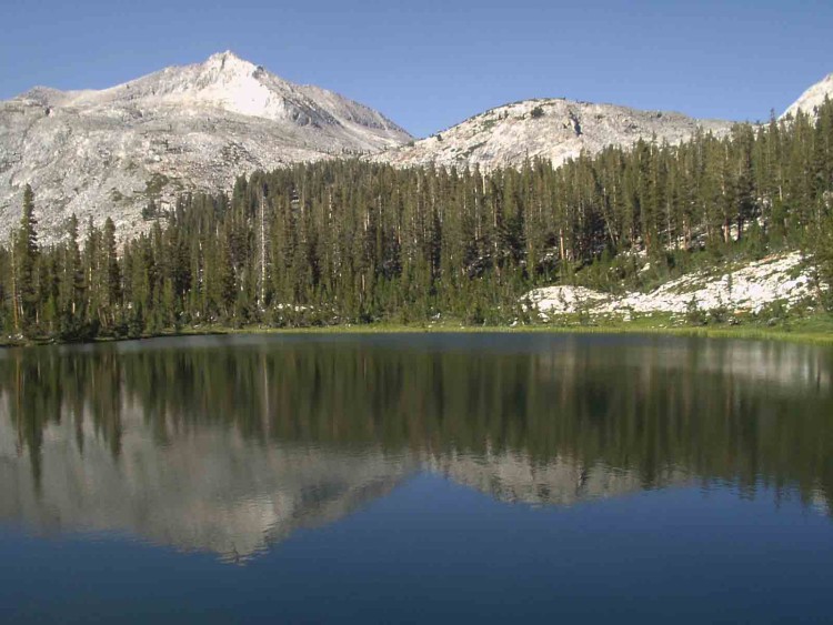
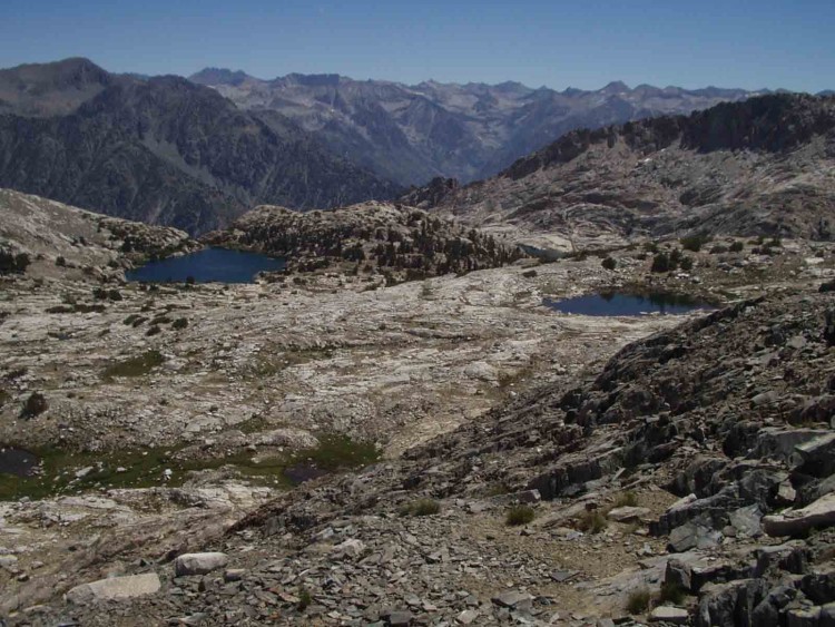
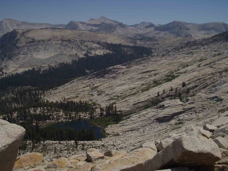
A few "bonus" photos are attached that I don't think were parts of the original post, although they were part of the linked photo album on the no-longer-viable-URL.

- Finger Peak from the lowest lake in Blue Canyon

- This is another view of the basin below Tunemah L.

- Below is Maxson Lake viewed during our off trail ascent above and from it.