The Final Stretch — William O. Douglas Wilderness, Goat Rocks Wilderness & Mt Adams Wilderness
August 3-8
August 3: I spent a fine sunny day hiking south through the gently rolling terrain in the William O. Douglas Wilderness. Many small lakes that would have been at home in northern Wisconsin (should Wisconsin have an actual wilderness area within its borders, which, alas, it does not). Stopped at the Kracker Barrel convenience store a half mile west of the PCT at White Pass for two beers and two slices of pizza and made some calls home. Finished with a hike up to Ginnette Lake on the boundary of Goat Rocks Wilderness. 19 miles.
August 4: Another glorious, sunshiny day, this time hiking along the ridges of the Goat Rocks Wilderness. First up was the long, sweeping path below the Hogback Mountain ridge to a point above Shoe Lake with views of Mt Rainier back to the north. Then a dip down into the woods to cross Tieton Pass before starting the 2000’ climb above McCall Basin and the ridge line to Old Snowy. Beautiful. Great views and some modest exposure and mushy snow fields. Made camp on the south slopes of Old Snowy with views of Mt Adams to the south. 18 miles.
August 5: Yet more sunshine for the Cispus Pass crossing before a deep dive into the long green tunnel for the rest of the day. Lots of mosquitoes. Actually listened to some music to pass the time, something I don’t normally do. Finished with a long gradual hike up the lower slopes of Mt Adams along a disturbingly straight former jeep road. Hot and sweaty — great chafing occurred. 26 miles.
August 6: Left the PCT at Muddy Meadows amid a great cloud of mosquitoes to connect with the Highline Trail. My plan was to hike around the east side of Mt Adams if not prohibited at the Yakama Indian Reservation boundary. Reports on whether or not this was allowed varied among those polled as I had made inquiries on my way south over the past weeks. There was consensus that camping in the established sites at Avalanche Valley and Sunrise was okay but not in the trail-less section between them. So I forded the icy runoff stream of Lyman Glacier and continued on trail to the reservation boundary where there were not any no trespassing signs as there had been back at Cispus Pass on the PCT. The trail gradually faded on the way to Avalanche Valley. After locating a safe spot to do so, I made one more frigid crossing of Little Muddy Creek which runs off from Wilson Glacier and then set up camp below Goat Butte with its curious little sedimentary formation that looks like it belongs in the desert southwest somewhere. Rusk Creek down in the valley was roaring, so I was a little concerned about finding a spot to cross in the morning. Clouds rolled in as the afternoon wore on. 12 miles.
August 7: Rusk Creek flow much diminished in the morning, but it still took some doing to find a spot to cross. I decided to cut across some small ridges of glacial till and contour around at about 6400’ rather than descend to 5800’ as recommended in some trail reports. The required shrub-wrestling at the small stream crossings slowed me down, but I eventually crossed over Battlement Ridge and emerged onto the large glacial ridge north of Big Muddy Creek with truly impressive views of the eastern aspect of Mt Adams. I followed this ridge up to the west and crossed rock covered ice and tributaries to Big Muddy Creek at roughly 7000’. Having sent my traction devices home several weeks ago, I was worried about climbing Klickitat Glacier to Sunrise Camp. There was a layer of snow in most places with an inch or two of soft snow on top. Slow going, no fewer than three points of contact at any time. Sunrise Camp is a moonscape. I never did find the cairned route that is supposed to exist down to Hellroaring Overlook (which had more of purgatorial atmosphere to it — the spring runoff must be spectacular, though). I did eventually pick up the Round the Mountain Trail and followed it to Cold Springs Campground which looked like it belonged in the sixth or seventh circle of hell — the area had burned and every single tree had been cut down. Oh, and there are no longer cold springs nor any other species of spring at Cold Springs Campground. Fortunately, a group of climbers shared a couple liters of water with me. I was just physically and mentally worn out and decided to make tomorrow my last day and start the Multi-Modal Transit Journey to Portland. 13 miles.
August 8: Plenty of water back up on the Round the Mountain Trail at Morrison Creek where some nice campsites exist — should have stayed high yesterday. I made my way around the southwestern slopes to Horseshoe Meadows and picked up the PCT once again. There are some good spots to leave the trail and climb higher on the next trip.

Ripe huckleberries in superabundant quantities lined the trail so the going was slow. A couple miles from the Forest Road 23 crossing I bumped into a gentleman finishing his lunch and we talked briefly of the joys of huckleberries and finishing long hikes. I scampered on down the trail, got to the road, changed into my most presentable attire, and prepared to wait for the scheduled shuttle to Trout Lake where I would hope to secure an Uber-style ride to White Salmon the next morning so I could catch the bus into Portland… My fellow huckleberry enthusiast appeared and offered to share his personal shuttle to PDX. Oh my, yes please. 14 miles.
I spent the next four nights at a Motel 6 in a room with a burnt out AC unit (not needed) and a malfunctioning toilet (needed). But I got a deep discount and with the savings I enhanced my extended stay in Portland with visits to the Japanese Garden, a Timbers match, a Thorns match, bookstores, coffee shops, and brewpubs. Ah, civilization!
I lost 30 pounds.
I carried a three ounce tube of sunscreen 701 miles and used it twice.
Dennis
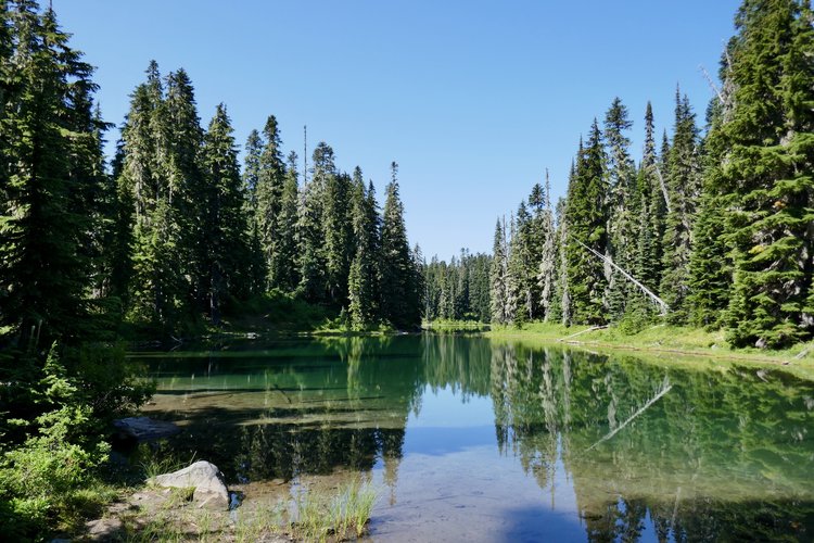
- Pipe Lake in the William O Douglas Wilderness

- Hogback Mountain in the Goat Rocks Wilderness
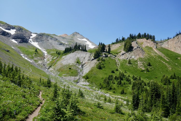
- Climbing toward Elk Pass.
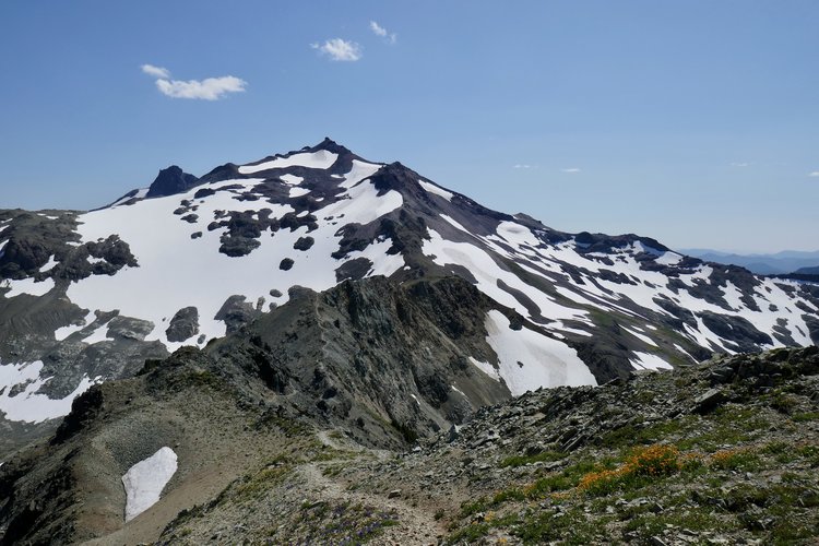
- Old Snowy.
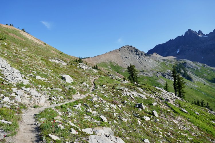
- Cispus Pass from the south.
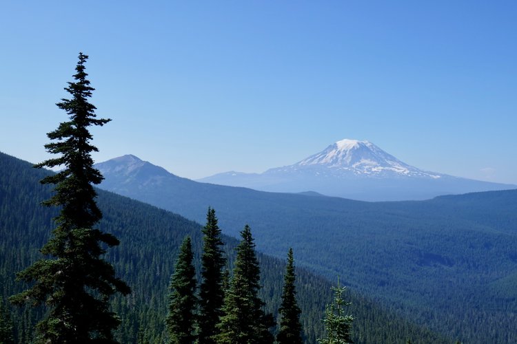
- Mt Adams from somewhere south of Cispus Pass.
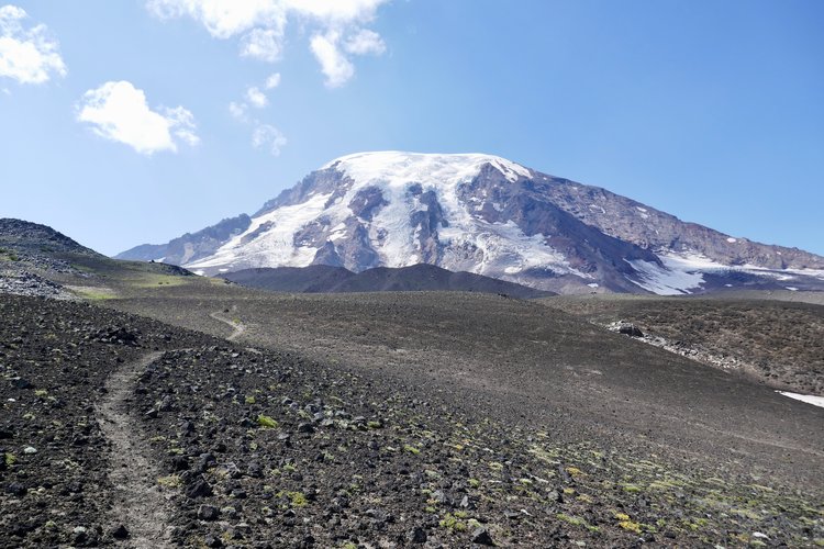
- Mt Adams from the Highline Trail.
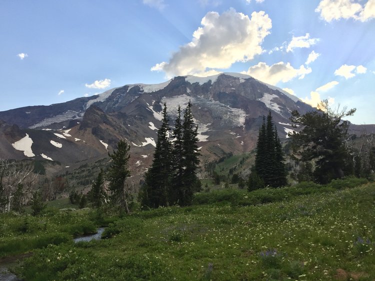
- Mt Adams from Avalanche Valley Camp.
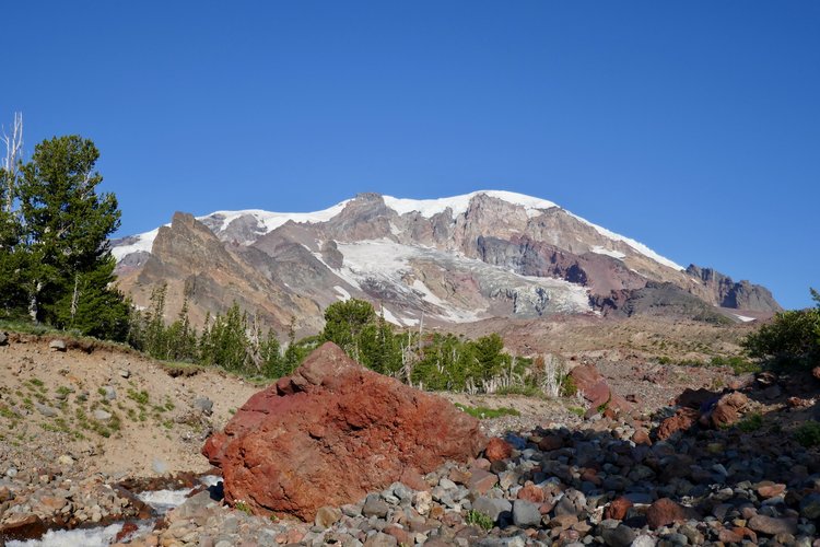
- Mt Adams from the east among the Rusk Creek streams.
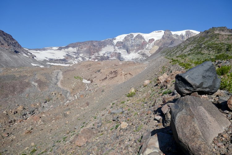
- Klickitat Glacier is upper left and Big Muddy Creek is down below.
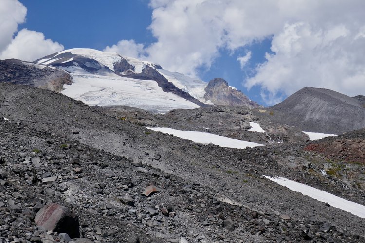
- Mt Adams and Mazama Glacier from the south well below Sunrise Camp.

- Mt Adams from the west at Cascade Creek.


