August 2 — Day 21: 10.25 hrs, 11.0 miles, +3775, -3126
Rock Hopping & Route Finding
Foerster Creek @ 9800’ to Lake Catherine outlet stream @ 10500’
Significant condensation inside the tent starting almost immediately as the sun went down last night. Managed to keep most stuff dry. Some lessons take repetition before they stick — don’t camp in low areas next to the water, don’t camp in low areas next to the water… On my way at 7:15 AM. Striding. Following the stream and feeling good. Striding. Looking at the low wall I need to climb to get on the plateau beneath Foerster Peak. Striding. Wait,
low wall?! Turns out I am heading toward Harriet Lake along its outlet stream. <grumble> Look what three days trail-walking has done to you. </grumble> Course correction. Up on the plateau. Striding. Admiring the Clark Range in the distance. Striding. Enjoying the sun and utter silence. Striding. Hop over a creek. Striding. Wait, stream?!
This can’t be Mt Ansel Adams and
that can’t be Foerster Peak; rather,
this must be Foerster Peak and
that must be Peak 11535. It went on like that pretty much all day as I made my way over Blue Lake Pass and on toward North Glacier Pass. My sense of scale/distance was just off enough to make route finding a challenge.
The climb up to Blue Lake pass was mostly boulder hopping with just a couple places where I needed to use my hands for balance. Views from the top were terrific, and I was happy to see the Ritter Range backlit by bright sun. The descent to Bench Canyon was similar in difficulty to the climb up, and I stayed north as recommended by some on this forum. At one point, though, I headed down too early along a nice grassy valley only to have it end in a cliff. I climbed back up the way I had come and continued contouring until I found a steep chute right above the western edge of the companion to Blue Lake. Looked like plenty of traffic goes through there.
Second breakfast. Striding through Bench Canyon. Striding. Nice. Cannot get lost. Striding. Lots of photos. Striding. Resisting the urge to cavort like a child amid the splendor. Then the climbing and contouring around Peak 11537 started and no more striding. Lots of rock hopping. An unfortunate encounter with Old Man Willow ensued. Lots of corrections, but generally following the course sketched out by Roper. I think others have reported, and I would agree, that the challenge here is that you don’t have a readily identifiable feature to guide you. Anyway, after several hours I made it to Twin Island Lakes and forded the outlet stream. Chilly and just above my knees but uneventful. I then watched a group of three leap right across a little further downstream. Hmph.
The much-discussed group of trees next to the roaring outlet stream from Lake Catherine and the Ritter Lakes is easy to spot. Getting there involved quite a bit of scrambling and multiple course corrections. Complex ledge systems, indeed. Took me about an hour and a half to cover that three-quarter mile stretch. I slowly climbed up another 500 feet to the confluence of the outlet streams from Lake Catherine and the Ritter Lakes and found a moderately flat spot to make camp.
Since leaving Bench Canyon I would occasionally walk on some grass or herb that, when crushed, gave off a lovely aroma that smelled like a combination of sage, basil and hops. It was driving me mad by inducing visions of cold bottles of Mammoth Brewing Co. IPA 395. Bombers, of course. I would have stopped to make my own infusion with cold stream water, but I could never identify what it was. Anybody know? I fell asleep secure in the knowledge I was only a day and a half away from as much IPA 395 as I desired at Red’s Meadow Resort where I had a hiker cabin reserved.
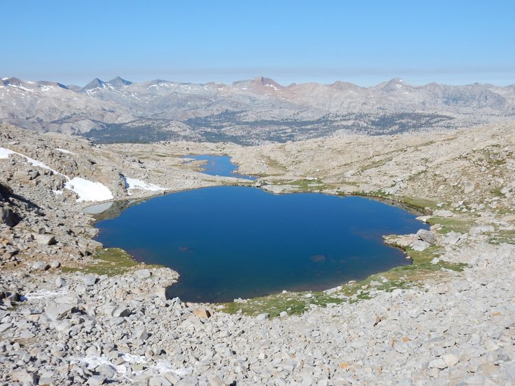
- Foerster Peak tarn & Clark Range – on the way up Blue Lake Pass

- Ritter Range & Blue Lake – view from Blue Lake Pass
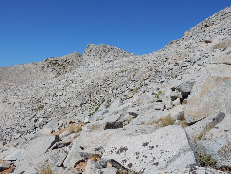
- view back to Blue Lake Pass (right)

- chute leading down to Blue Lake
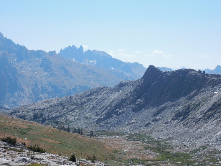
- Bench Canyon & Minarets

- upper Bench Canyon from south slope of Peak 11537
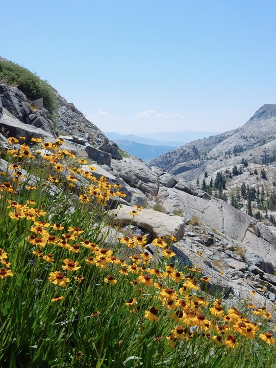
- on the south slope of Peak 11537

- North Fork San Joaquin River to Foerster Peak panorama

- Electra Peak tarn & Ritter Range
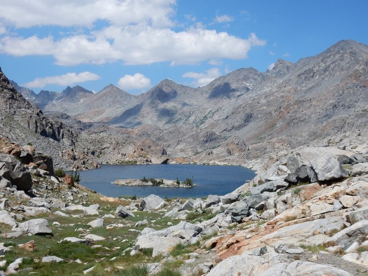
- southern Twin Island Lake
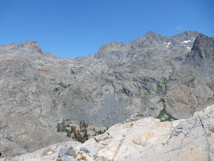
- combined Lake Catherine & Ritter Lakes outlet stream – goal is group of trees left of center
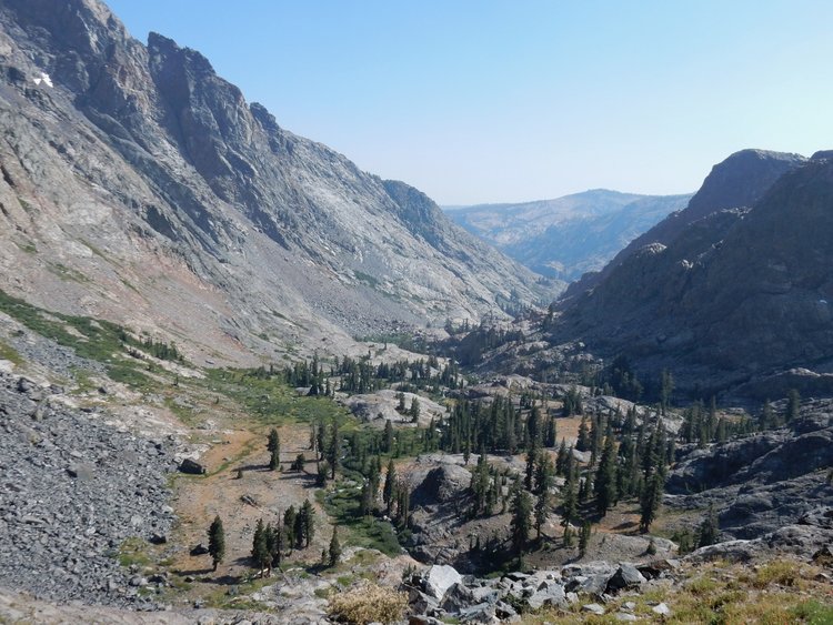
- North Fork San Joaquin River
Dennis