Sorry to hear you turned back; I think the decision making process is/was easier coming down rather than up. Simply, one is possessed of reverse 'peak fever': we were out of food, out of time and determined to get back to our cars & homes.
It's also important/imperative to have a comparable hiking partner to provide both moral support, and also just have another cognizant human placed in the same exact circumstances in which to express/share opinions and measure mutual (or lack of) sentiment. IOW, reaching consensus before embarking on what could be a dangerous undertaking.
The reason I decided to hike out a day early (Friday) is because Flamingo was exiting. I was originally going to hike out later and bivy at the upper crossing Friday evening. That way, I could hit the lower crossing before 6am on Sat when the water level would be at its lowest point. But, with a really experienced hiker leading the way (Victor has done both the PCT & CDT, and was one of the peak baggers at the meet-up), it was a no-brainer decision. Besides, he had come up Taboose (solo), so he already had first hand experience with the crossings.
Jeff (Ashery), another HST member at the meet-up - who also came up Taboose (solo) - decided to join the party as well, so the 3 of us set off relatively late around 9am. This, of course, would put us directly on a trajectory for peak flow around 3pm.
I've gotta tell you, as we were coming down the trail with the advantage of a visual of the so-called north-side 'bypass', both Flamingo and myself agreed there was no fVcking way we were going that route. It had death written all over it: brushy nightmare down by the creek, and high, steep, loose talus higher up just looking to deliver a broken leg - or worse - to a hiker.
So with an agreed pact, we charged on down the trail, determined to cross the creek come hell or high water - literally. When we got there, the water was flowing higher than the respective photos show above. Victor had mentioned that when he crossed, people were able to hold onto the branch like a hand-rail if they were so disposed. When we got to the bank, the branch was under water.
Victor went first, no problem. I went second, no problem. Now, when I say this, I mean from the perspective of two experienced hikers in good, fit condition, both of whom are around 6'+-. Also, it means experience probing ahead with trekking poles, anchoring, and then shuffling slowly making sure your feet were set & secure before taking another step. Water was thigh level flowing very fast - it could easily knock you over.
Jeff was last. He didn't have a lot of experience with crossings, but had come up days before and made it (did I mention solo!). As he readied his poles and unclipped his pack, Victor sat on our side of the bank and put out an arm, to which I grabbed hold and waded out a few feet into the torrent and extended a pole with my other hand. In this fashion, it provided both moral support for Jeff to have a target to aim for, as well as a possible lifeline if he slipped - he could always fall/lurch forward and grab hold for dear life. After he got 1/2 way across, I tossed the pole in the bushes and just extended my other arm (while still held firm by Victor on my other). Once he got a few feet from us, we both scrambled out of the way so he could get up on the bank. I gave him a high 5 and we all breathed a sigh of relief that we were home free.
We hung out for awhile and had some water & snacks, then re-applied sunscreen & loaded up a few liters for the subsequent desert death march back to the cars. Both Flamingo and myself had soaked our bandanas and boonie hats as a sort of poor man's air conditioner, which of course were bone dry within ten minutes. And we were still 3k above the TH. (Lower crossing is at 8.4k, TH 5.45.)
Suffice it to say we made it back to our cars in good shape and spirits. It was only 102 degrees, so yeah, not a big deal

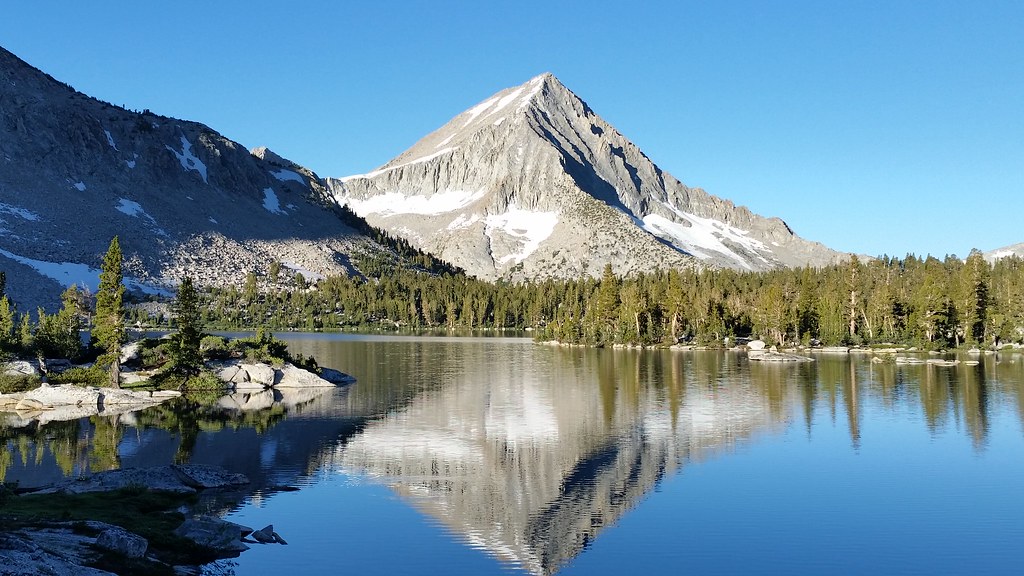
I showed Victor the route up under Sawmill point that climbs 2.5k right out of the box from the desert. It actually looked a little bit crazy from the Taboose TH. I'll write up a TR from my Sawmill-Pinchot-Taboose hike later - I have lots of great photos of this beautiful traverse.
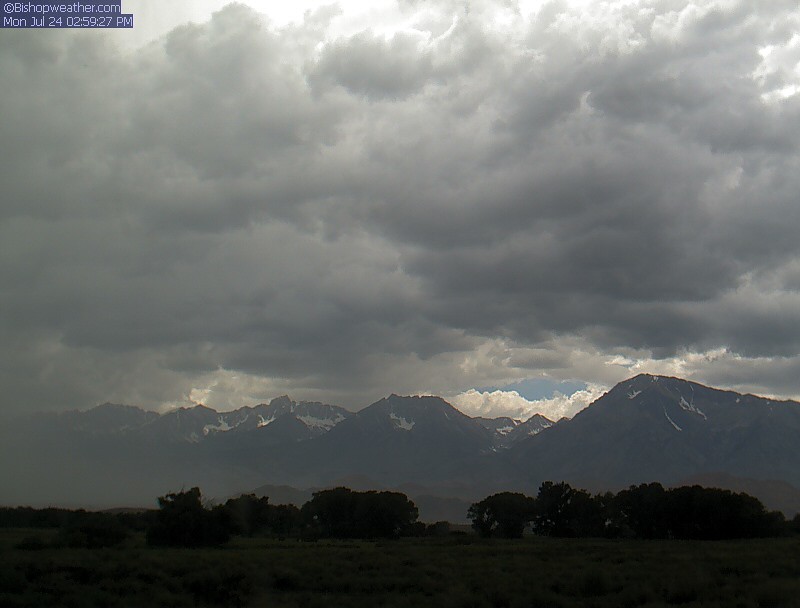
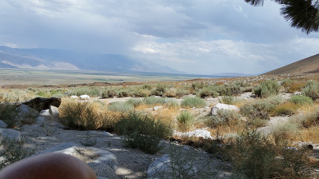
Here's a teaser: sat under the only tree for miles waiting out the heat. After dropping off my car @ the Taboose campground (4.5 miles from the TH), I got a ride just 5 more miles to the Sawmill TH. I sat/napped in the sweltering heat ("only" around 96 degrees due to the monsoon cloud cover) under this tree for 2 hours, until I couldn't take it anymore and started hiking at 5:15pm. I had sap all over my ground sheet and clothes, as well as ants crawling all over me. Great.
Note - quick stats: Taboose TH is 5,450 topping out @ 11,420 for a total gain of 5,970 over 8.4 miles (710'/mile). Sawmill TH is at 4,595, topping out @ 11,350, for a total gain of 6,755 over 9.2 miles (734'/mile).