sept 9'th and 10'th
getting up to a damp ground and tent, i spent an hour waiting for the rainfly to dry before moving on. the temps had dropped overnite and i later found out that it had snowed an inch or two up in the high country. but where i was, just some light rain and the snow quickly melted away.
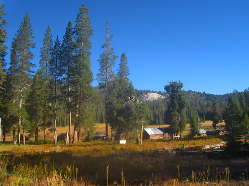
i arrived to an empty crown valley station. can anyone here tell me what it is used for? it looks like it has a big mess hall for mealtime. does it get packed in the summertime like the high sierra camp does at bearpaw meadow? there are signs that say "no camping" but i suppose that rule can be broken when nobody is there to enforce the private property ban on backpackers hanging out.
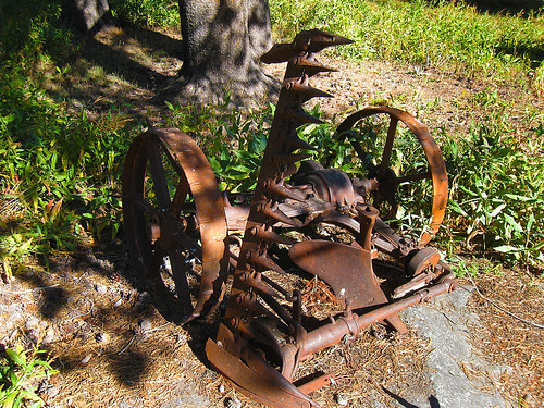
i spent an hour here just looking around at some of the old relics such as the multi use plow/combine and the water scooper:
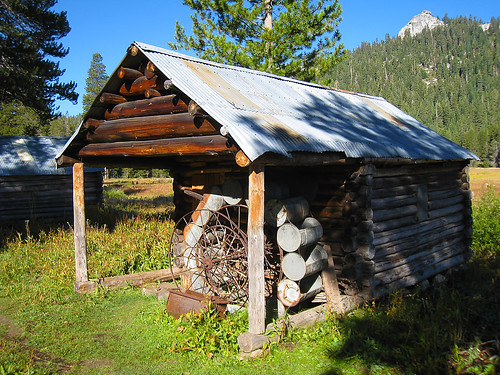
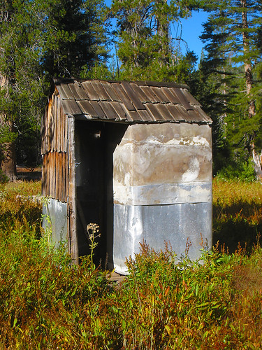
but soon enough, i felt the need to go and i discovered a his and hers bathroom right next to each other in the outhouse. there was even some toilet paper so i didn't have to use any of my own:

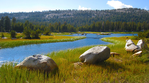
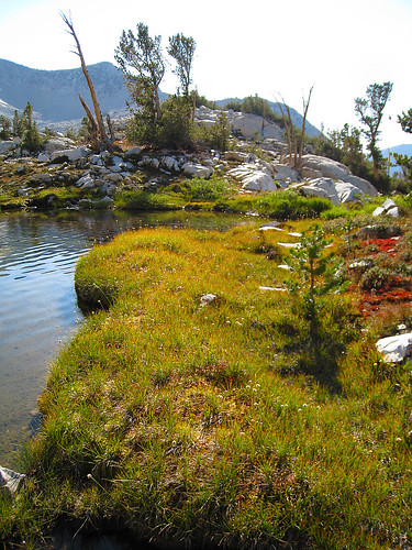
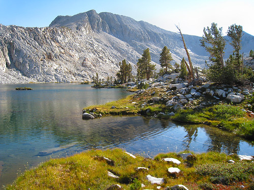
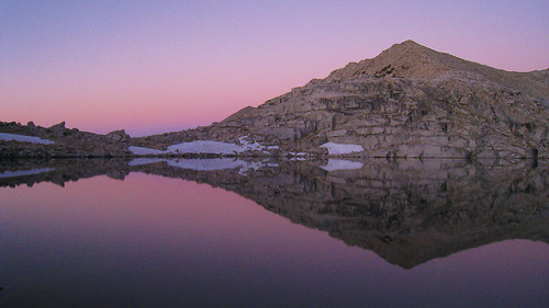
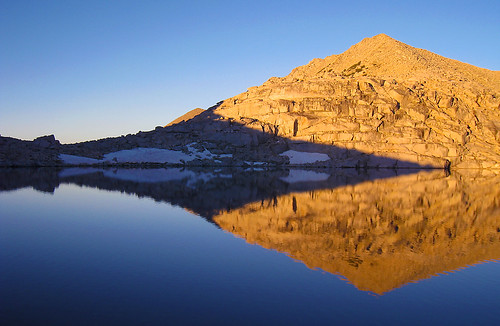
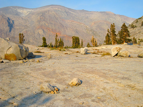
my original plan was to move north from crown valley and then go east towards mountain meadow but before getting there, cut north and go cross country up crown creek to hummingbird lake. after looking at the maps, i saw that i could also stay on the trail and go by crown lake, skirt past half moon lake, and then head east into lower blackcap basin before turning south to get to hummingbird lake. the latter had much more appeal to me because 1) i had never seen crown lake and 2) half moon lake was the very first place i had ever backpacked to with my high school buddy back in 1975. that was very appealing to me, to visit a place i had been to 35 years ago so i went on a sentimental journey so to speak. here's some pictures of crown lake and half moon lake:
from half moon lake, i took the trail eastward and ended up camping just below portal lake in an old established horse camp, complete with a huge firepit and fish barbeque grate. the sunset here was nice with a peak reflected in the stream as fish were jumping:
 sept 11'th
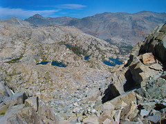
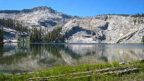
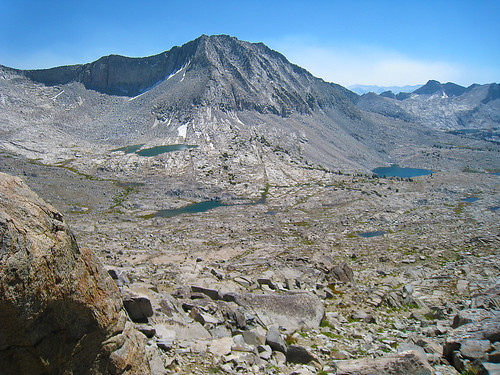
the next morning, i began my cross country travel by turning south into crown basin and then heading east over mantle pass. i didn't bother to go up the valley containing hummingbird lake cuz i was able to climb the eastward slope before getting to the hummingbird valley and gain direct access to mantle pass. just below the pass, there is a pretty alpine lake and a great view across upper blue canyon basin.
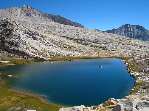

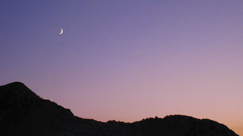
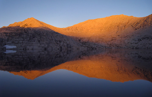
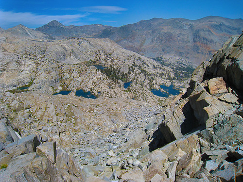
cross country travel across blue canyon basin was easy. heck, mantle pass was easy as well. anyway, i ended up camping at lake 10401' which turned out to be a much prettier lake than lake 10364' (second lake in the picture above.) on the way up to this lake, i spooked a whole bunch of grouse. i couldn't believe how many there were in the brush just north of lake 10401' (around a dozen perhaps) and there was great camping spots just north of the lake along the "moraine" ridgeline. the view at sunset was spectacular as was the alpenglow showing off the crescent moon and venus in close proximity:
 sept 12'th
the day to tunemah... yahoo!!... another goal of this trip - to visit one of the lonliest lakes in the sierras.
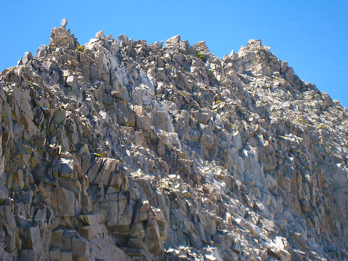
i headed east from lake 10401' up the dike towrds dykeman pass. i stayed on the white granite for awhile but made a point to skirt to the northside of the "hilltop" instead of the more obvious low point on the pass. this gives much less altitude drop on the other side into alpine creek. the pass was pretty easy with some minor rock scrambling near the top on both east and west sides. nothing more than class 2 tho.
headed down into alpine creek, there were some lush mossy sections like this:

after getting to the bottom of the creek, i headed north to get over the crest of the pass which involved more easy class2 rock scrambling and then there it was, tunemah!
i camped here very near the outlet, breaking all of the rules like no camping 100 feet within water - oh well... with very few visitors and no signs of any visitation except for a cairn stacked at the outlet creek - who cares?... well, except for the rabgers who are paid to enforce black & white rules with no gray zones.... opps, maybe i shouldn't have said that... so slap me upside the head!

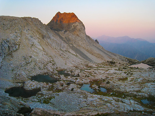
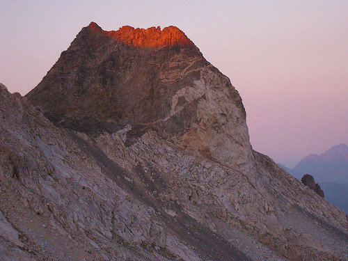
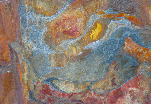
the view looking down the creek looked like an interesting dayhike but i didn't bother. peak 11987' made for a nice photograph as well as some of the rocks:
 sept 13'th
sunrise at tunemah was early. the lake never really got completely still for that glass reflection photograph but i managed to pop off a few nice frames of the lake at various stages of sunlight:
moving on, i retraced my steps back over dykeman pass and had a nice view of an inlet of lake 10401 in the morning - one can clearly see how meadows get formed:
then i headed north up blue canyon basin to the top of finger pass - just east of finger peak. the south side was easy. the north side took me awhile to get down because i kept running into dead ends along the bench system of ramps leading down into what i call finger peak basin. i ended up just going down the boulders on the eastward side.
looking south from finger pass
looking north from finger pass
and looking at the north facing east shoulder of finger peak
looking back up at the pass from below, i could easily find a route up the bench system... so this is one of those passes that's easier going from north to south instead of south to north for the first timer. anyway, i ended up camping at one of the lakes within finger peak basin at about the 10280' level. here's one parting shot looking north towards the ragged spur:
to be continued...