Grab your bear can or camp chair, kick your feet up and chew the fat about anything Sierra Nevada related that doesn't quite fit in any of the other forums. Within reason, (and the HST rules and guidelines) this is also an anything goes forum. Tell stories, discuss wilderness issues, music, or whatever else the High Sierra stirs up in your mind.
neckbeard7 wrote: ↑Fri Oct 28, 2022 12:36 pm
Here is what I have for the Southern Sierra (south of Mammoth):
...
Excellent!
I noticed that Miter Basin is a place without a name on the Whitney quad. And could the list include what quad a basin is on? I'd like an easy way to find these places.
-m
-Red Rock
-Cottonwood Lakes
-Miter
-Bear Lakes Basin
-Seven Gables Lakes
-Marie Lake
-Mono Lakes
-Barrett Lakes
-Dumbbell lakes
Professional Sierra Landscape Photographer
I don't give out specific route information, my belief is that it takes away from the whole adventure spirit of a trip, if you need every inch planned out, you'll have to get that from someone else.
Have a safer backcountry experience by using the HST ReConn Form 2.0, named after Larry Conn, a HST member:http://reconn.org
What is the definition of “named”? Did the OP imply that it has an official USGS place name, depicted on a topo map of any scale? Case in point, Upper Kern Basin is a colloquial reference that everyone understands, but it has no “official” place name designation.
This is an important question because some of the suggestions in this thread are NOT in the GNIS (Geographic Names Information System).
On the flip side, a couple officially named ones have been missed: Granite Basin, Maxson Basin. And if we want to get out on the fringes - beyond C9’s boundaries - there are a few more (e.g. Chinquipin Basin).
An overly simplistic project of mine is to work toward visiting (backpacking to) them all . Thanks in advance!
I think it's a commendable and cool project, but rather than "simplistic," I see it as an ambitious one. Go for it!
Nine Lake Basin.
How are you going to choose which basins to visit? Do the "named basins" vary from map to map? I'm looking at the Harrison "Sequoia & Kings Canyon" 1:125,000 map, and w/in Sequoia, many of the most amazing basins are not named-- e.g., Miter Basin and Crabtree Lakes basin, and basin of Wright Creek. Sometimes the headwater basins are named, such as "Nine Lake Basin," but the even deeper headwater basin next door-- Kern-Kaweah Creek's basin, is not named. The only other named basin I find on the Sequoia / Kern River side of the map is "Kaweah Basin," which is sure worthy of a visit. Perhaps your plan is to first visit all the named basins, and then return for more?
I'd love to hear your plan neckbeard; maybe you can produce a Caltopo Map of your ongoing project? Good Luck with this? Kudos to you. Ian.
Last edited by Harlen on Mon Oct 31, 2022 9:25 am, edited 2 times in total.
c9h13no3 wrote: ↑Fri Oct 28, 2022 12:30 pm
Assuming the "High Sierra" is from Tower Peak to Cirque Peak... (see, we define mountain ranges by peaks not water!). Also what constitutes a "basin"?
We as in the royal we? Hydrologists define geography by river courses and aquifers. Thus they see the Sierra as the Kings River Watershed, Bishop Creek Watershed, and the basins that comprise these watersheds. I am no hydrologist but I tend to consider my trips based more on the basins they visit than the name of the ranges they travel through. It is an appropriate level of detail for my purposes, as well as being congruent with how I perceive the mountains.
c9h13no3 wrote: ↑Thu Oct 27, 2022 12:38 pm
The only similar thing I can think of is @John Dittli's project to visit all the "headwaters" of the major rivers of the Sierra. Why one cares about the first water to flow into a river, rather than the mountains (it is the mountains that makes the whole thing special!) one will never know.
I am with Harlan in his second guessing John's motives and interests. Some people are drawn to the oceans, but I prefer drinking from the source where all that water comes from, thus I also am drawn to headwaters. They usually define my trip objectives, with peak bagging and fishing as secondary considerations. When I can't see the forest for the trees, I am too low. I like open views. Mountains do make the whole thing special, but there is more to mountains than ridges, peaks and rocks. The most sublime memories I have are lounging in a post hike stupor, warmed by summer sun, serenaded by the sounds of a gentle breeze and a gurgling lake inlet-outlet, contemplating the view of a treeline lake with a mountain backdrop.
First, you have to define what is a "basin". Watersheds are easy, CDEC is a good place to start with these. I would prefer to skip the vague "basin" stuff and define watersheds.
As for basins, there are plenty of USGS named "basins" in the west that have no river or water at all. Then there are very broadly defined basins in Nevada. An entire geologic region is called "Basin and Range".
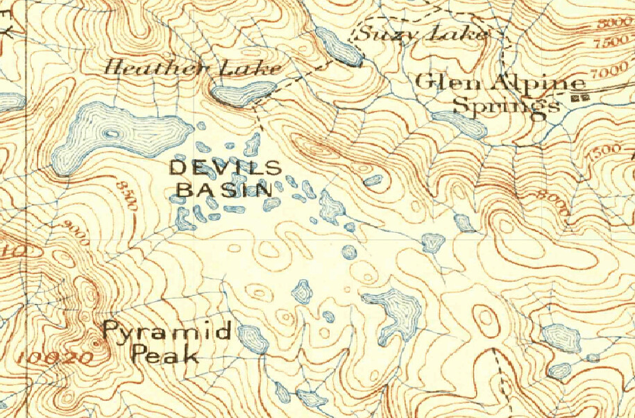
And as for the High Sierra "ending" at Tower Peak, that is just someone's opinion. For those of us who live up here in the northern Sierra, we may disagree! Do you think Desolation Wilderness is not "high"?