Re: Trip Report: Ebbetts Pass to Raymond Lake, Peak & Pin-
Posted: Fri Sep 08, 2017 10:15 pm
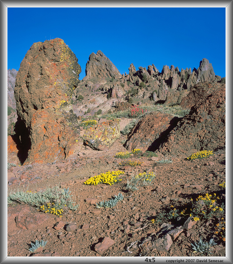
Here is a scanned Provia 100F 4x5 image of the nearby Eagle Ridge area I took in late June 2007, titled "The Bent Pinnacle". Mehrten Formation volcanic geology from lahar mud flows.
Several times have hiked cross country to there from SR4 at the 7840 foot elevation parking area including a few times at night with headlamp that is somewhat "spooky". That saves over 3 miles versus starting at Ebbetts Pass.
http://mapper.acme.com/?ll=38.57967,-119.80770&z=15&t=T
Have climbed all over that weird stuff including the Reynold's Peak area in Russ's image and that rock is tricky to climb on with lots of small ball bearing type rubble atop the surface. Besides all the weird pinnacles, there are many spectacular Sierra juniper, rock with intensely colorful lichen, and in early summer lots of volcanic geology wildflowers like mule ears. Although PCT hikers pass by, we've never seen anyone else camp there or found tenting spots because 1) no lake 2) no fishing.
David