My route is here: http://www.hillmap.com/m/ag1zfmhpbGxtYX ... IDA2deeCgw" onclick="window.open(this.href);return false;
Lot's of mosquitoes around 9,000 to 10,000 feet. Certainly a 4 on the HST scale. I was well protected with long pants, long shirt, and head-net, but it was still a pain.
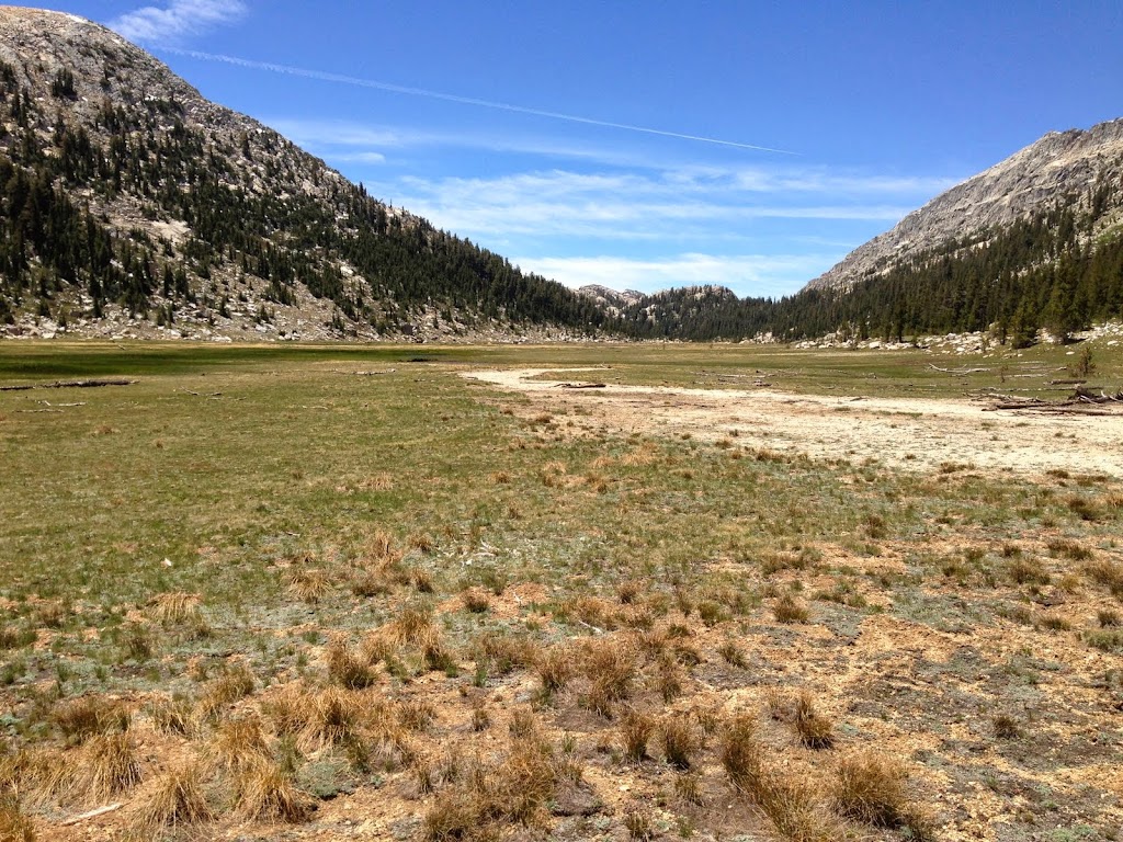
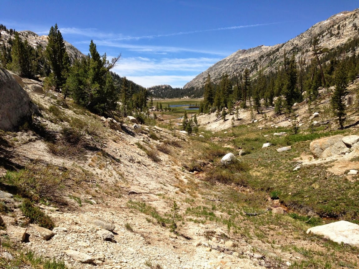
Looking up Buckeye Creek Canyon. This canyon is very underrated and peaceful. Only the first 4 miles are sandy and boring.
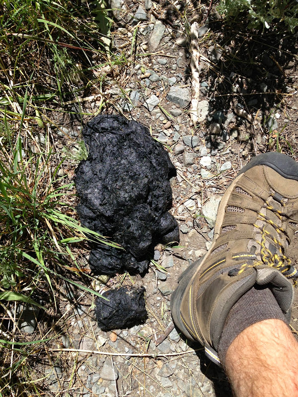
Lots of fresh bear poop.
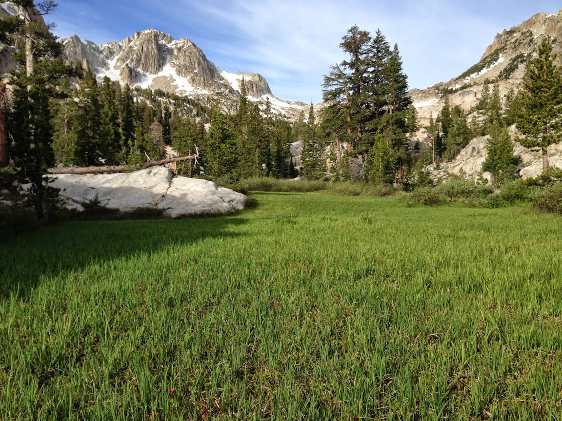
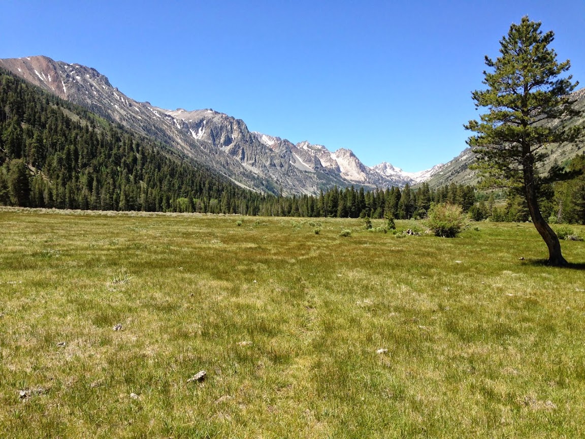
Small meadows near Center Mtn.
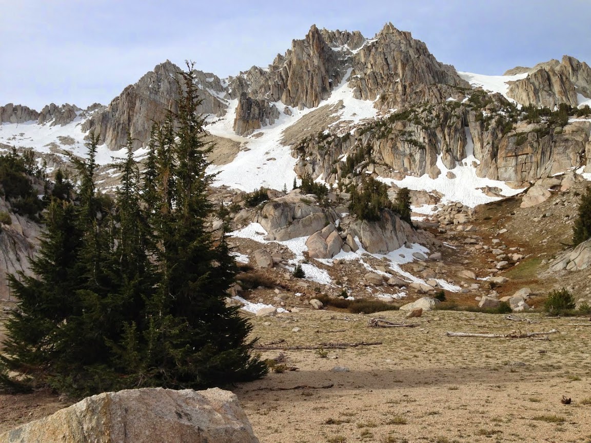
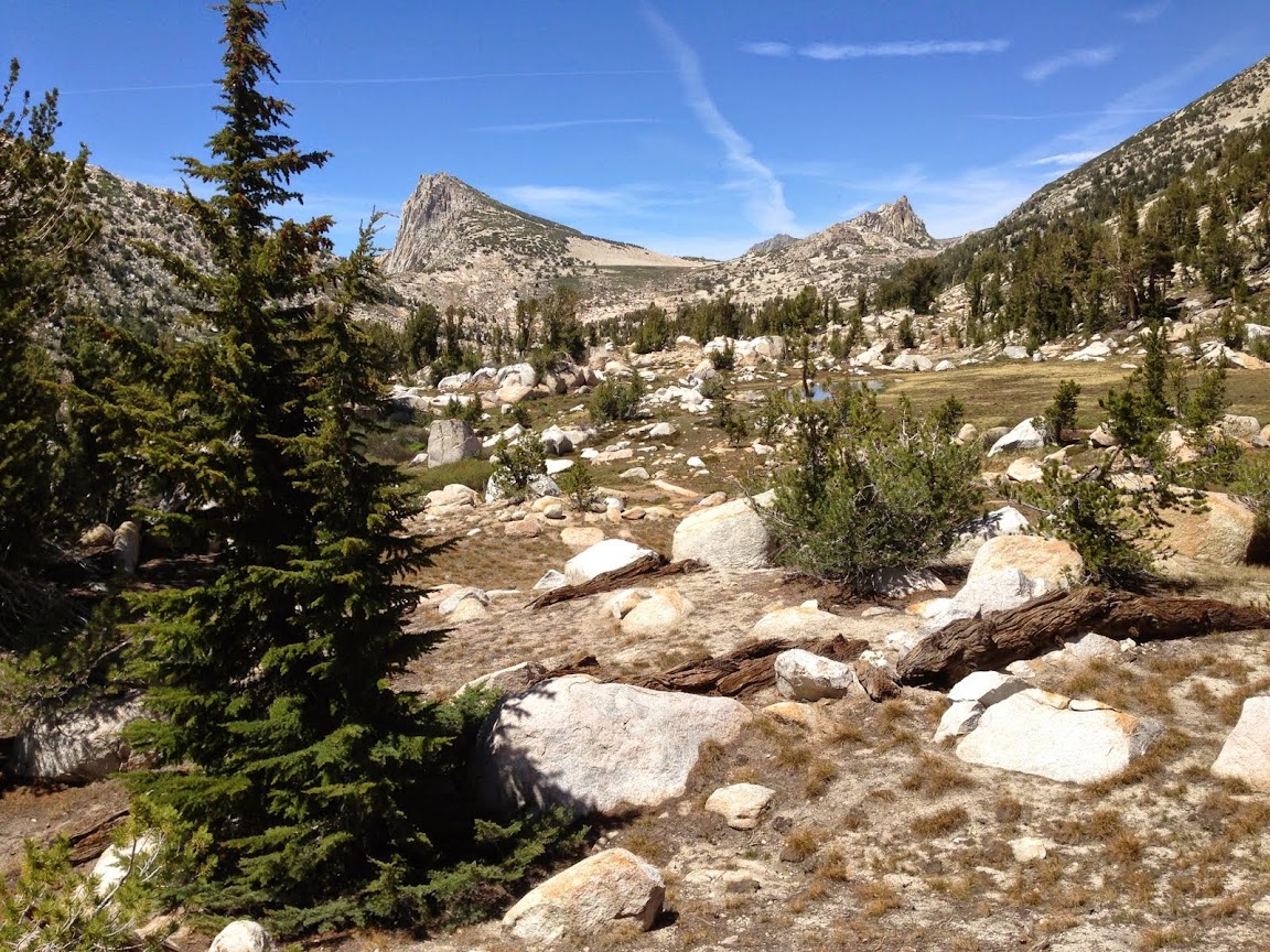
Center Mtn itself. Very photogenic.
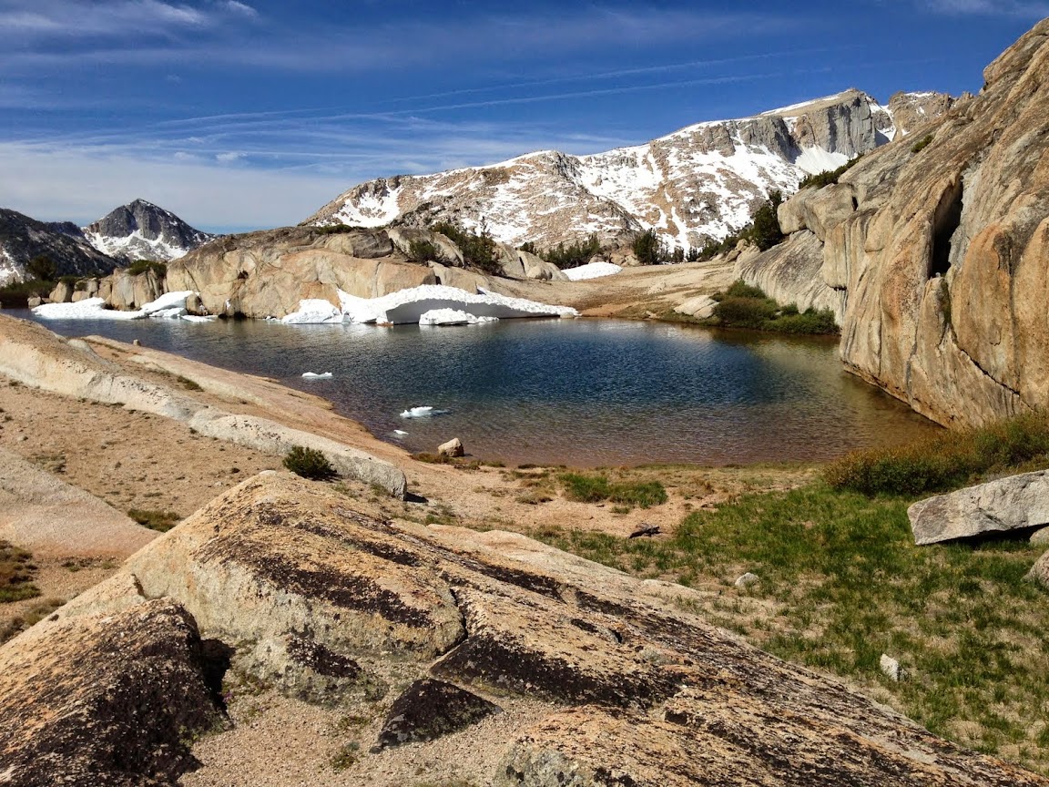
Small tarn on the pass north of Center Mtn.
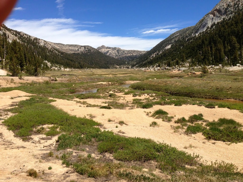
Thompson Canyon Meadow
Unnamed lakes just north of Thompson Canyon. No fish in these lakes.
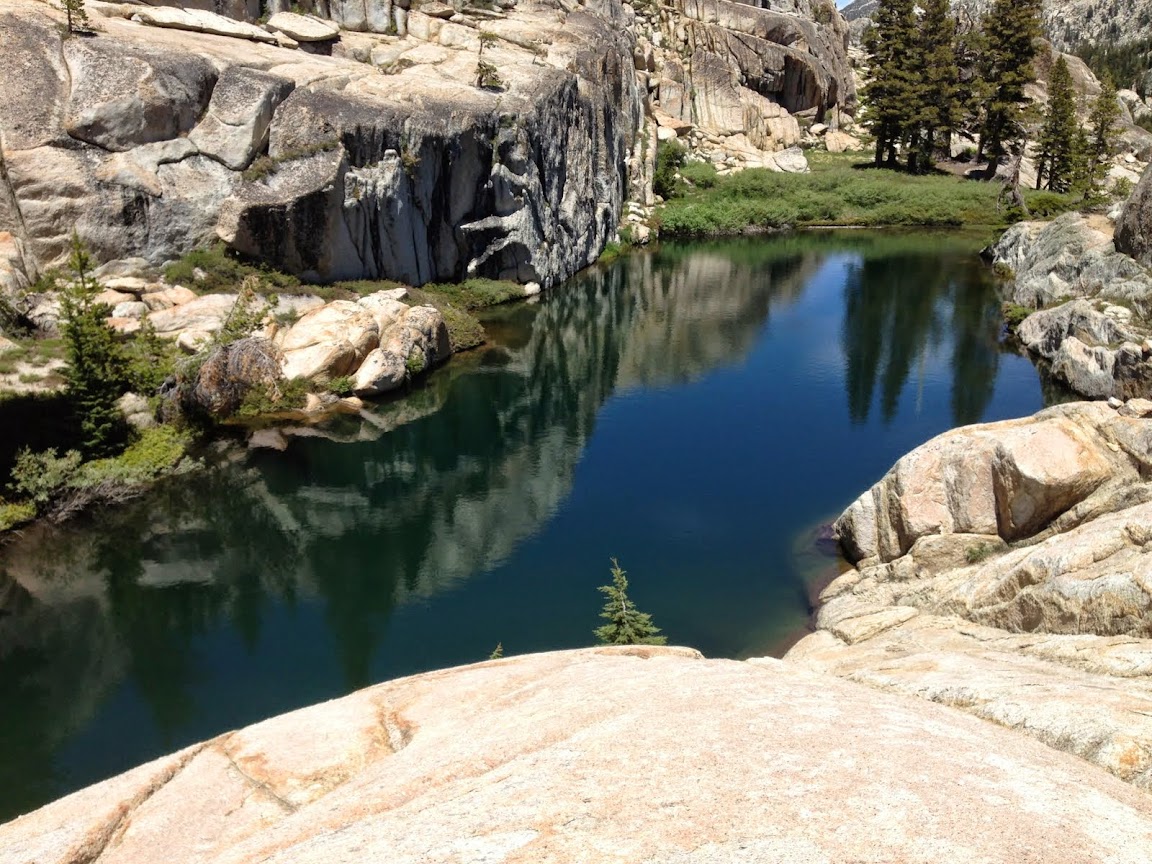
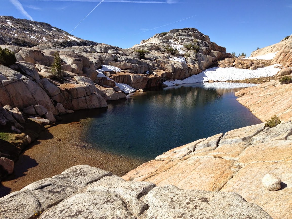
Small hidden tarn above and north of the unnamed lakes.
Another lake.
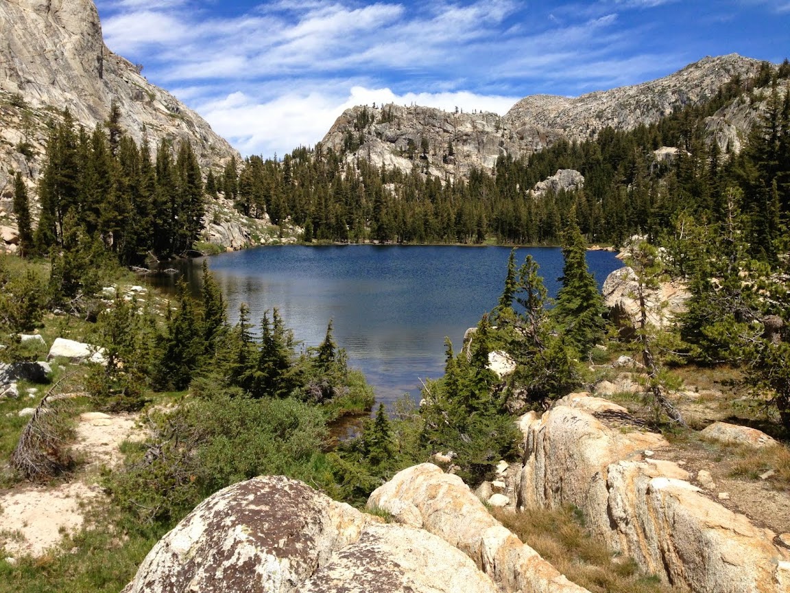
The largest of the unnamed lakes. No fish.
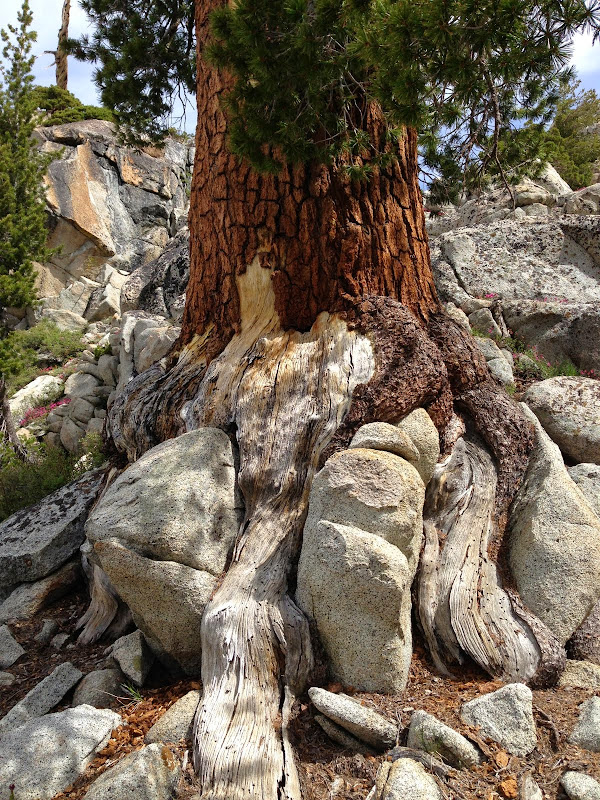
The tree ate the rock fish.
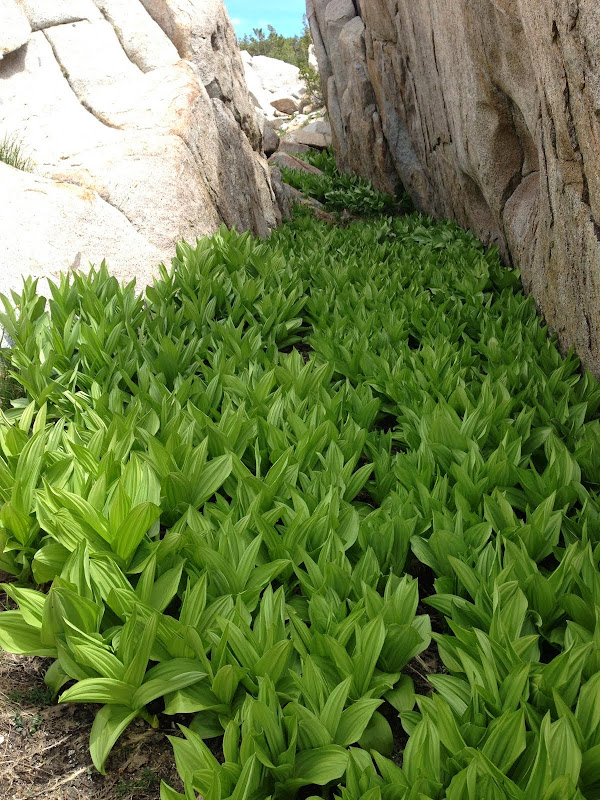
Woolly Mule's Ears
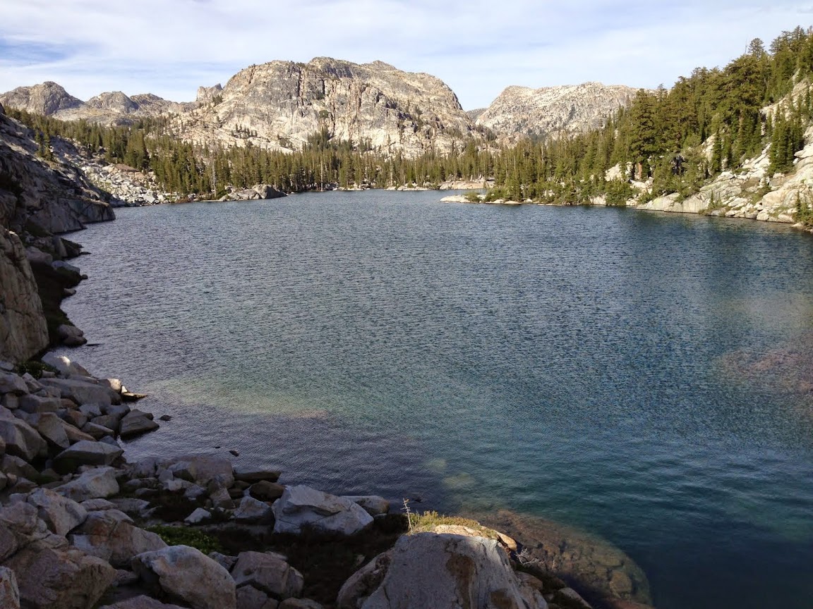
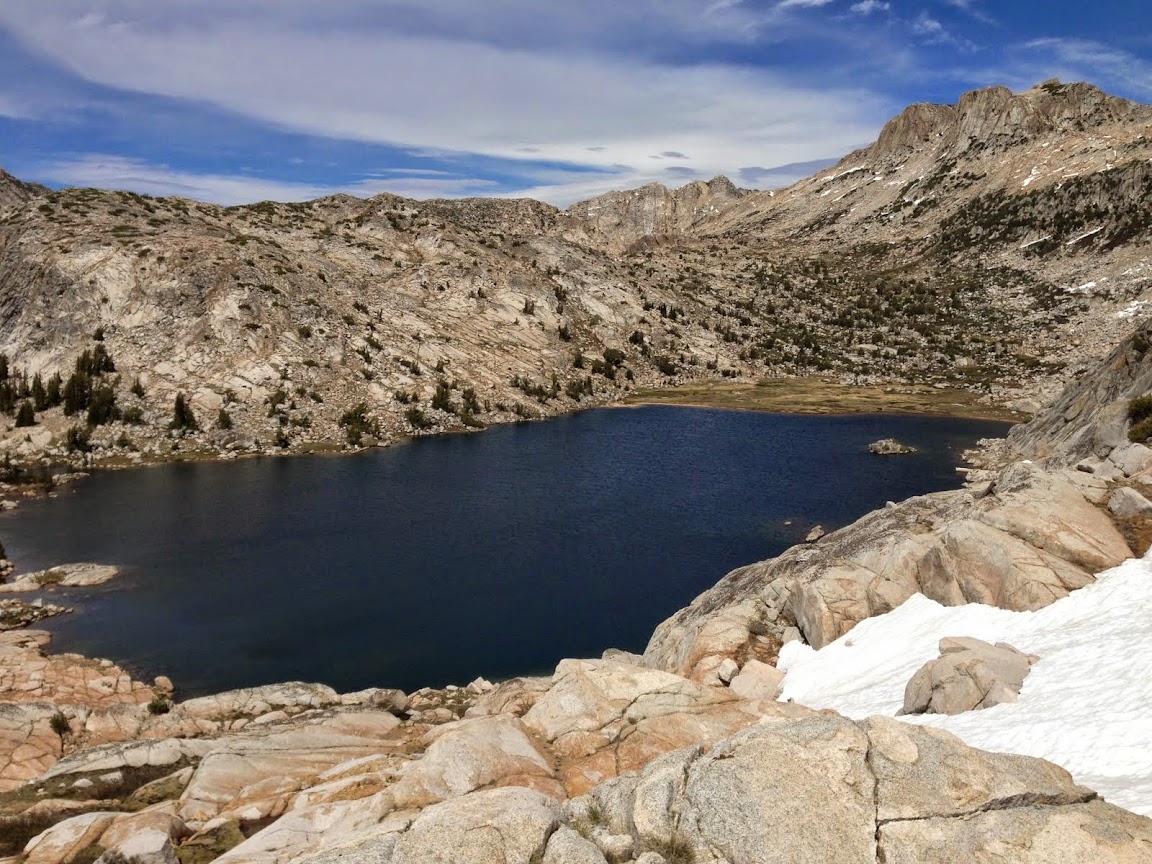
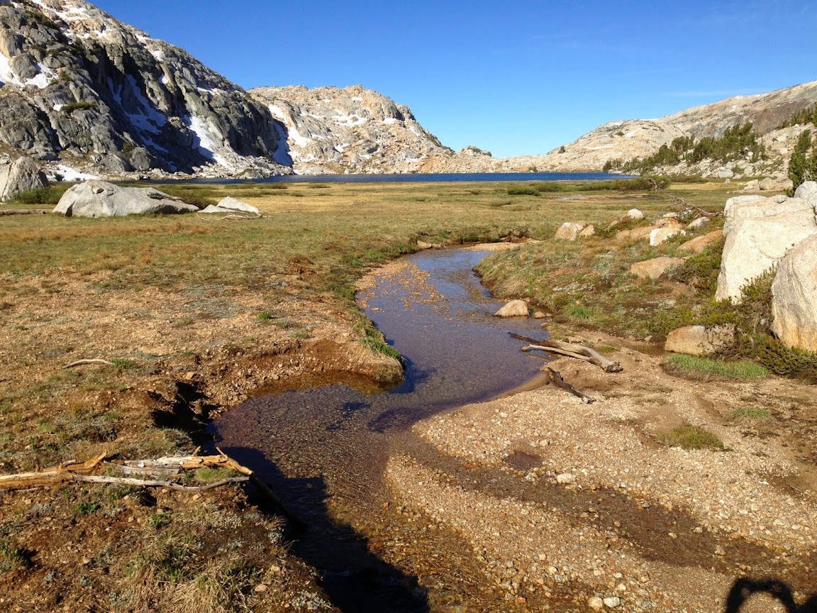
Outlet of Stubblefield lake
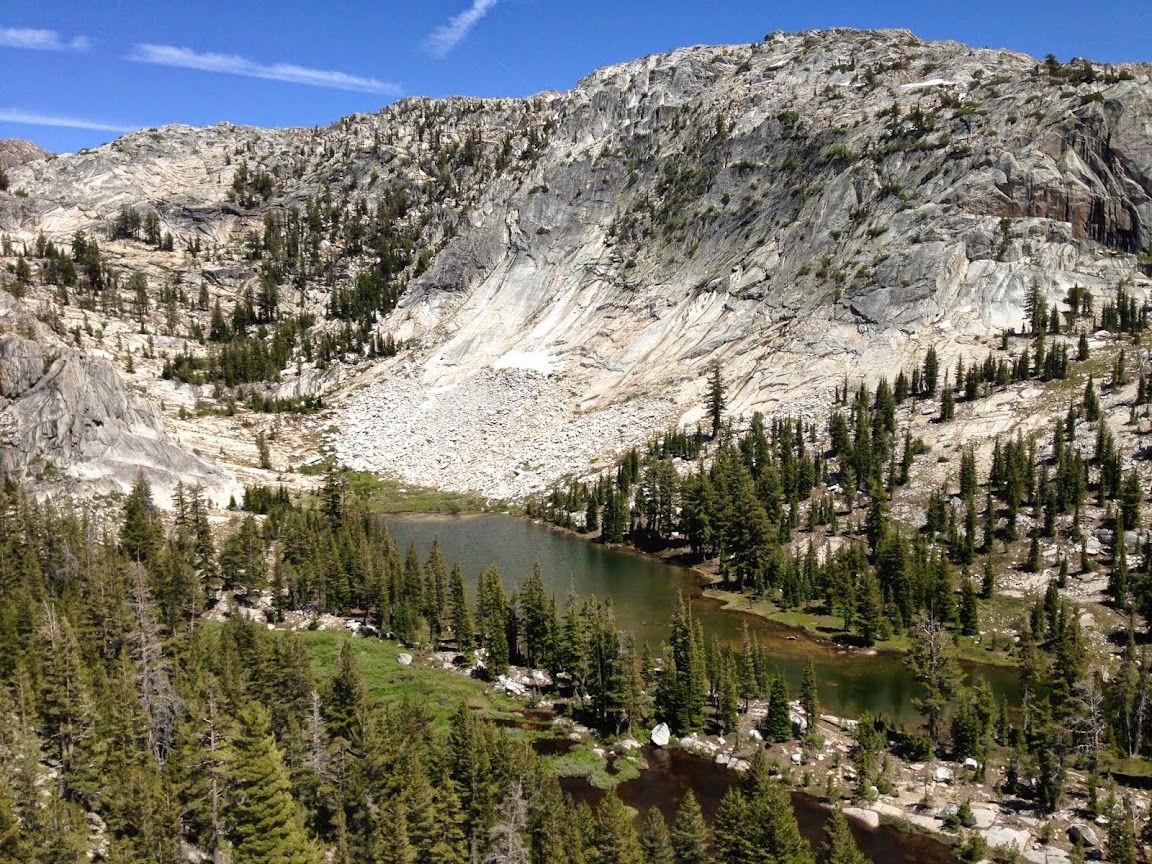
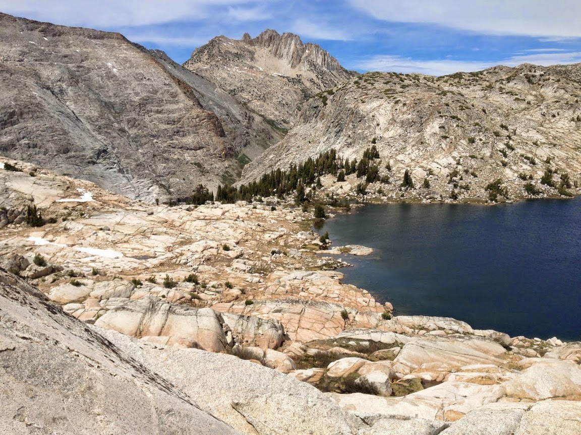
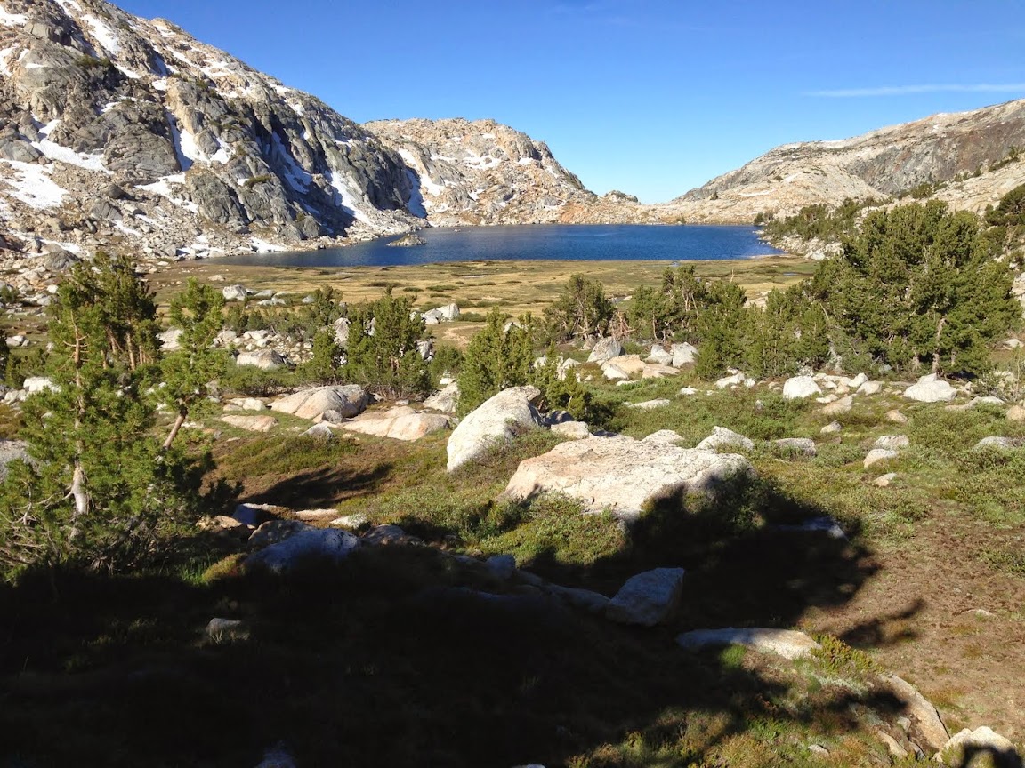
More complete picture of Stubblefield lake. No fish, but lot's a big tadpoles swimming around like fish.
Inlet of Stubblefield lake
Higher up
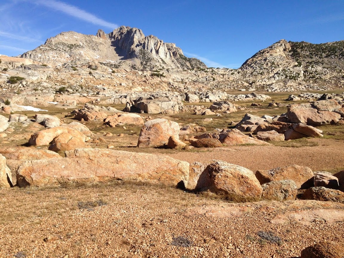
Rock garden meadow above Stubblefield lake
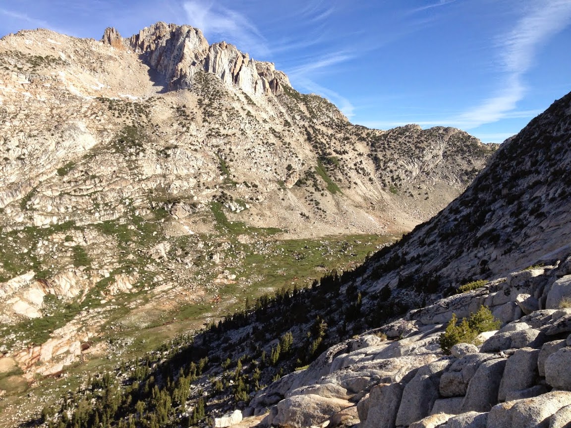
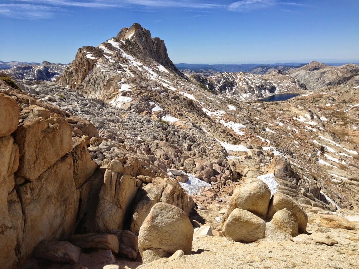
Upper Stubblefield Canyone with Tower Peak looming above
Small tarn at the head of the Stubblefield lake headwaters
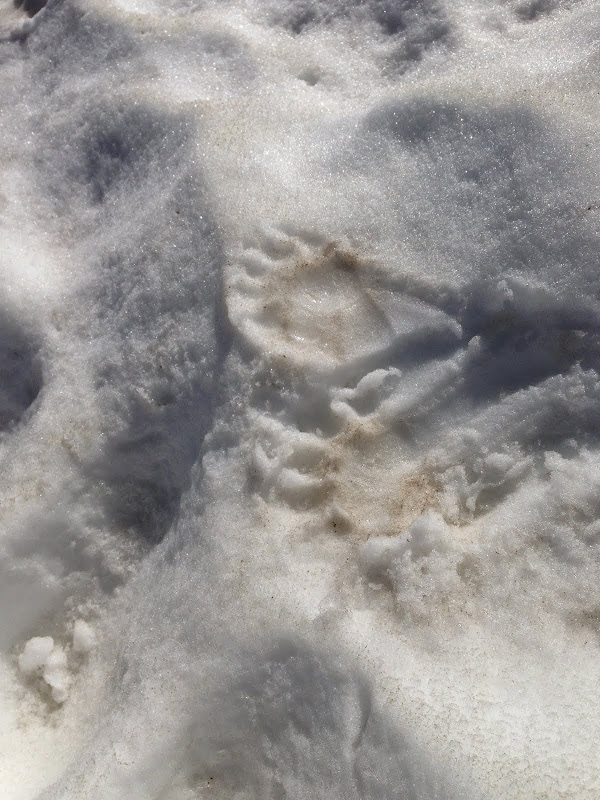
Snow bear prints
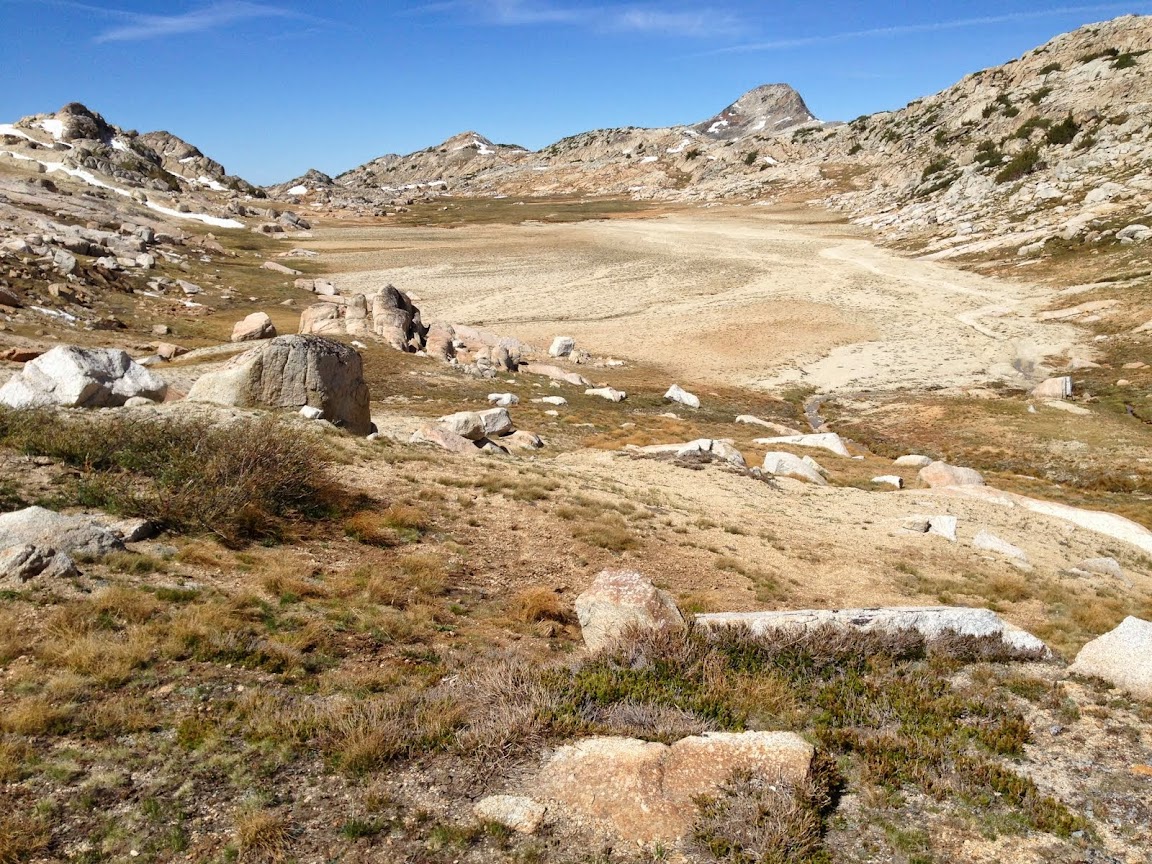
Sandy meadow at the very head of this little valley. It's so flat, you could land and takeoff with a small plane.
Wells Peak
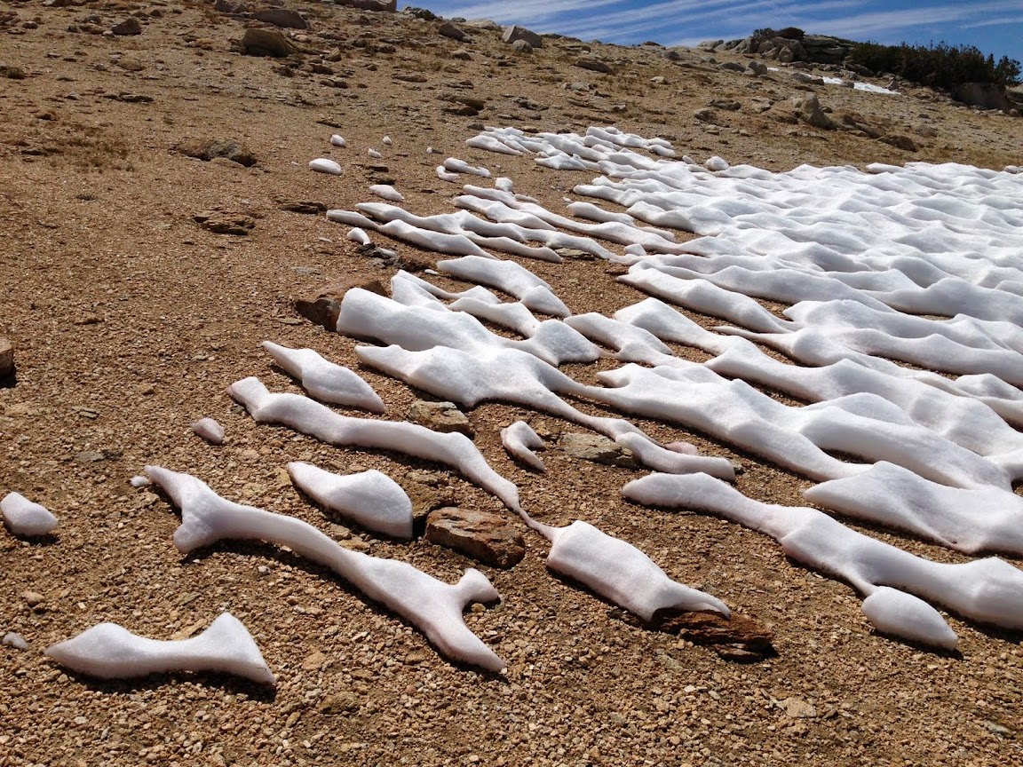
Melting sun cups near summit of Ehrnbeck Peak.
Hawksbeak Peak on the left.
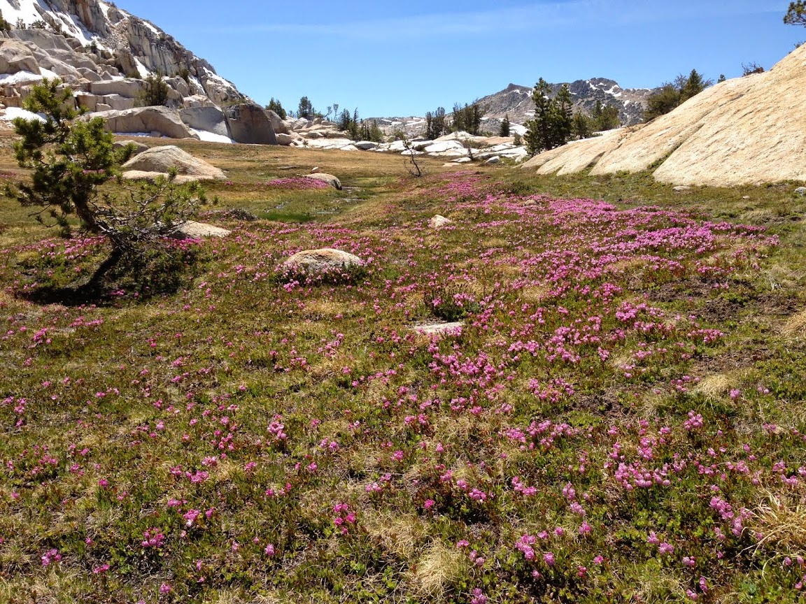
Some flowers
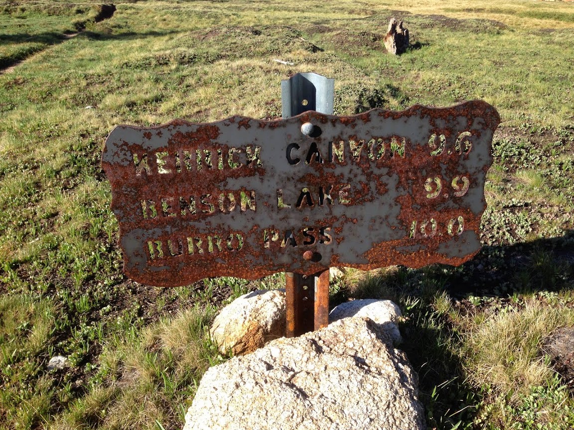
Sign in need of some loving care.
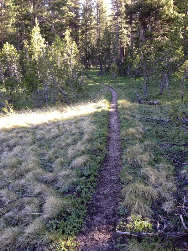
If all trails were this nice.
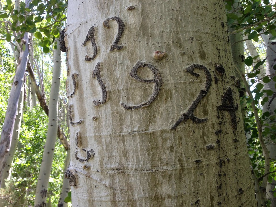
Tree initials. 1924
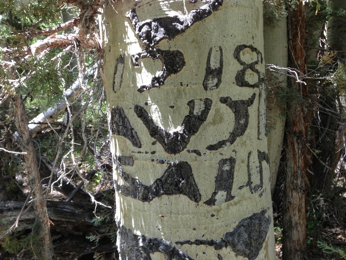
1918. The oldest I've ever seen in the Eastern Sierra.
Hope you enjoyed my pictures and TR.
BigD