Went in on the Lake Valley Trail - 5+ mi all down to Camp Irene, ~3.5k ft below. The trail starts just below the top out of FS 7N93; there's a closed off section of the road that heads to Mt Reba, and it splits off from there. Or you can scramble down the hillside from where the road tops out. The road definitely requires a 4x4 with good clearance; it's fairly rocky and washed out in spots, but nothing too crazy. Alternatively, you can hike up the approx 3 mi. from the SNO-Park parking.
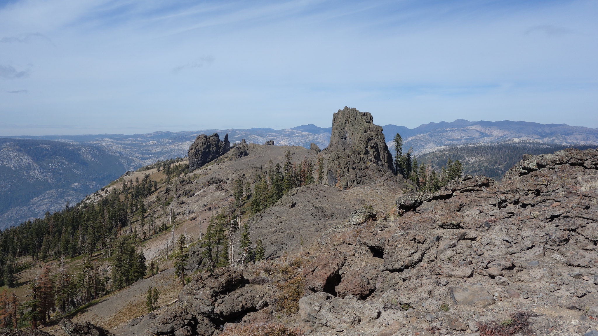
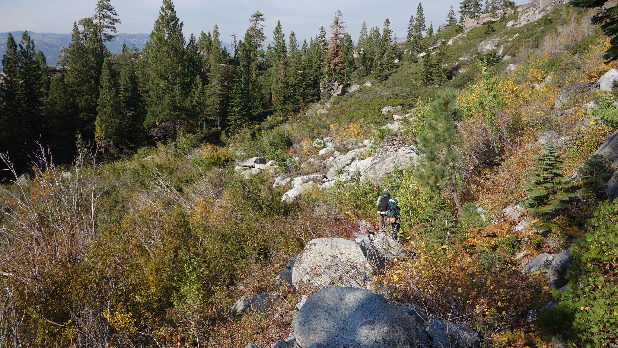
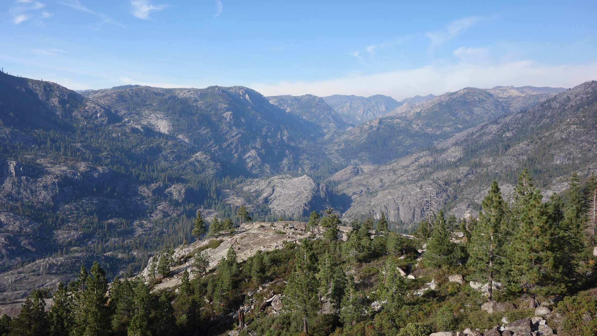
I'd say maybe a good sixth of the trail is a bushwhack and there's a lot of downed trees. The good news is, there's views the whole way, and after a short while you'll see the river canyon down below and be convinced you'll get there sometime, eventually. The trail description says no water till the river, but we found water maybe 1 mi. in and again about half-way: 2 creeks with decent flow and some mini waterfalls. But this year is an anomaly, and there is still some snow below Mt. Reba.
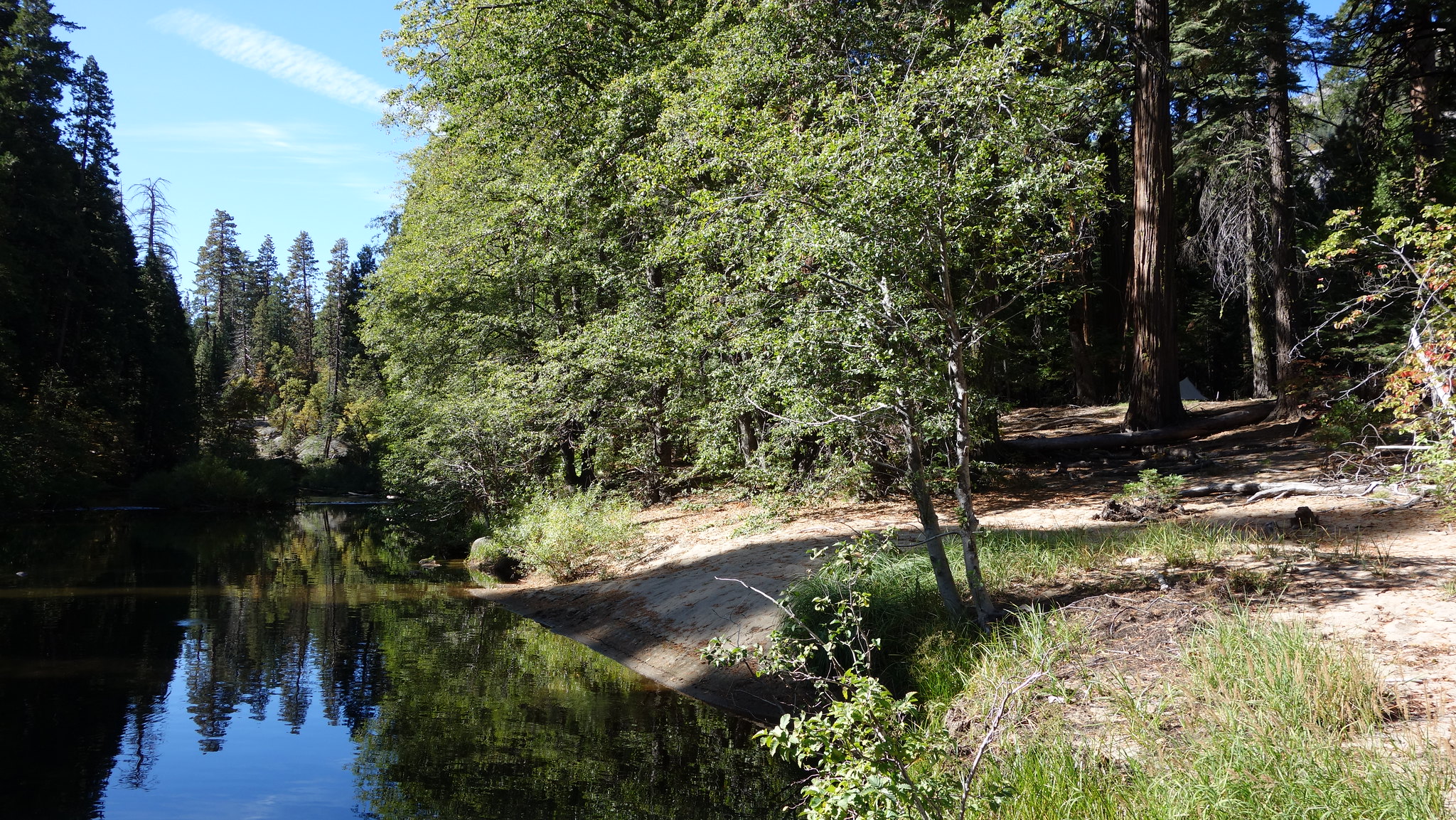
The trail is difficult to follow in spots. The last section of trail before the riverbank winds back and forth through dense forest, and it's easy to lose, but there are some helpful cairns to get you back on track. After reaching the river, we went NE a bit along the bank until we spotted a beach across the river that we hoped was Camp Irene. As far as we could tell, there wasn't a way across without fording; it was knee-high, but not rocky. Just beyond the beach is where the trail continues N, and there's several good campsites and a propped up post indicating distances to other destinations in Mokelumne (good luck!). Warm weather made for good swimming.
Oh, forgot to mention we saw no less than 40 piles of bear scat along the trail, all the way from Mt. Reba down to the river, and more around the riverbank. I guess the trail, as terrible as it is, really is the best way up and down. Unsurprisingly, we saw a momma bear and cub barrell out of an aspen grove. We also saw river otters!
Here's a few pics: