
Weather was still and cloudless for 5 days, until morning at Twin Island Lakes. A chill day in N Fork San Joaquin was thwarted by 30 mph winds, with worse in the forecast, and we had that nasty, loose mess Clinch staring down at us - god was it gusty up there. With some seemingly random rockslides and luck, we got up and over and were able to get some wind shelter below Rodgers Lakes. The next day the gusts pushed us over Lost Lakes Pass back into a relatively calm Lyell, where we would pack up the next morning suddenly soaked with a classic Tuolumne Wet Kiss Goodbye. Oh what a trip it's been!
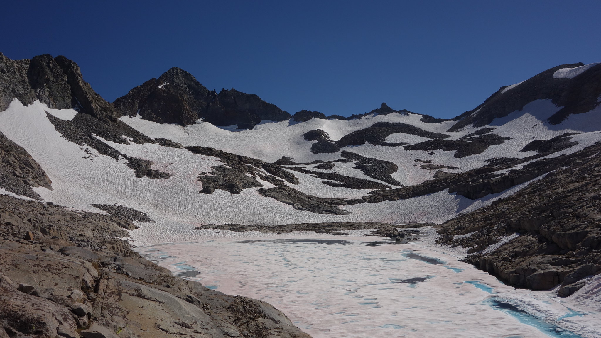
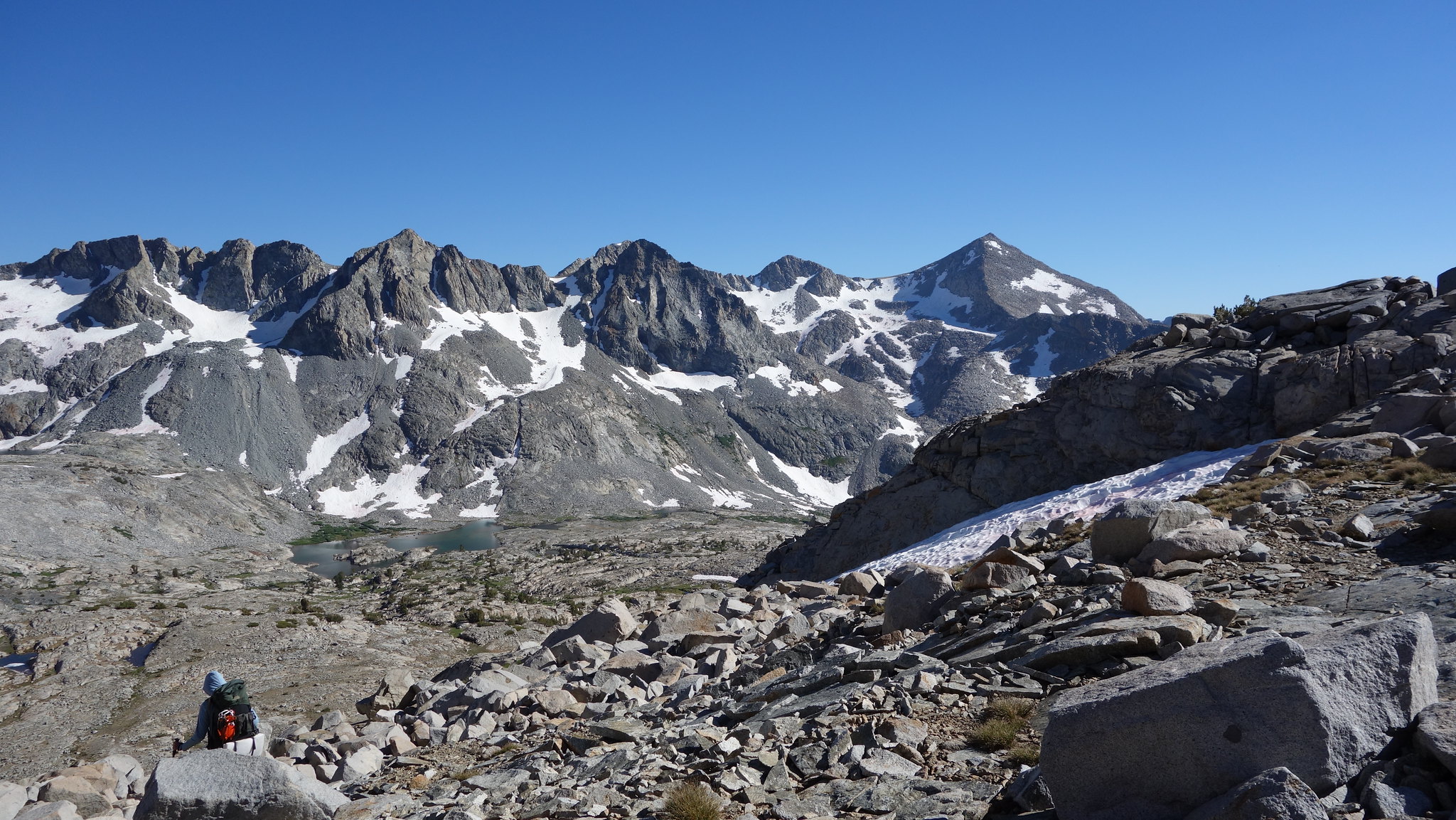
Maclure Lake, Russell Pass right of center
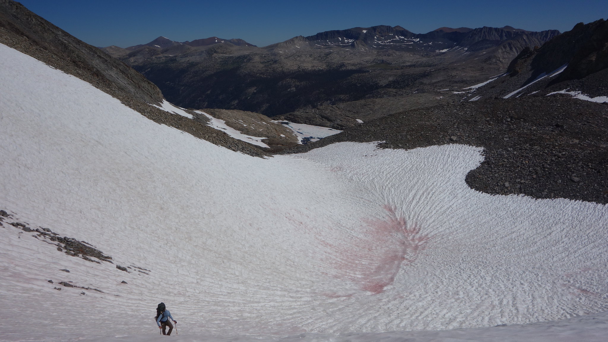
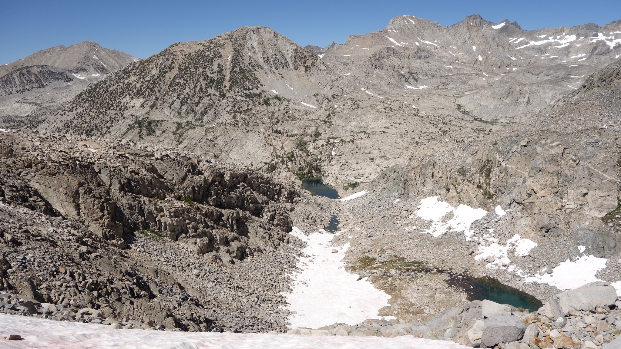
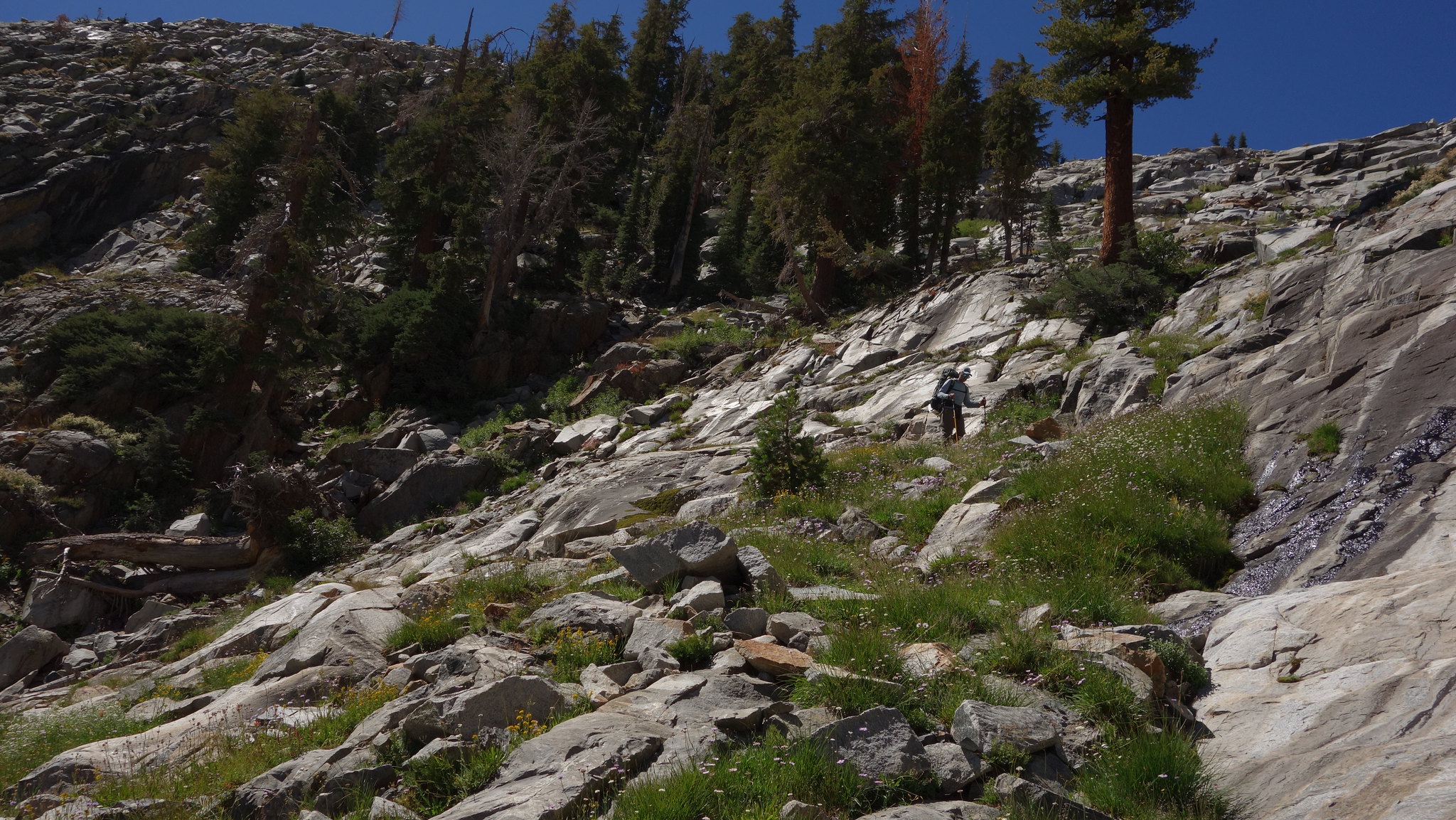
On the way up
Mt Florence on the SW side

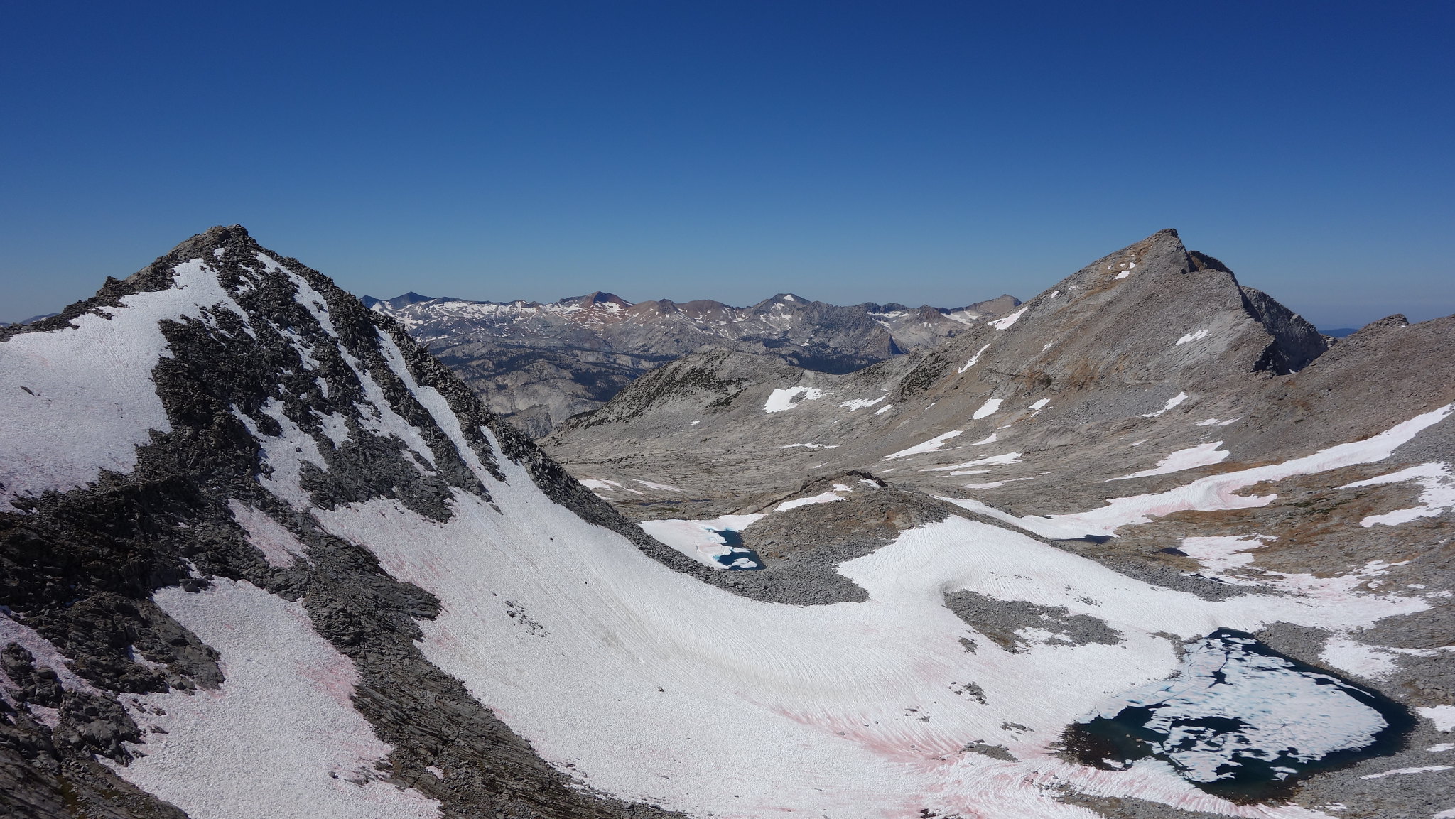
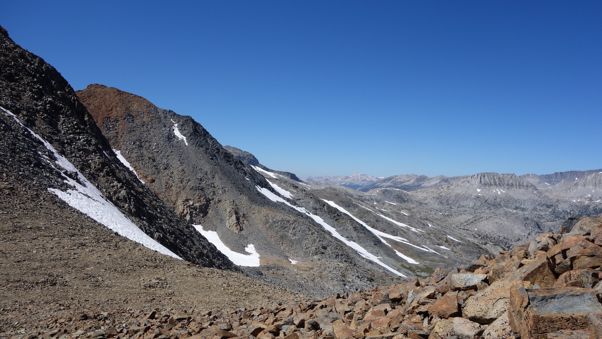
Looking back at Russell Pass, the dark reddish rocks near top center are the ticket
Another shot of the same

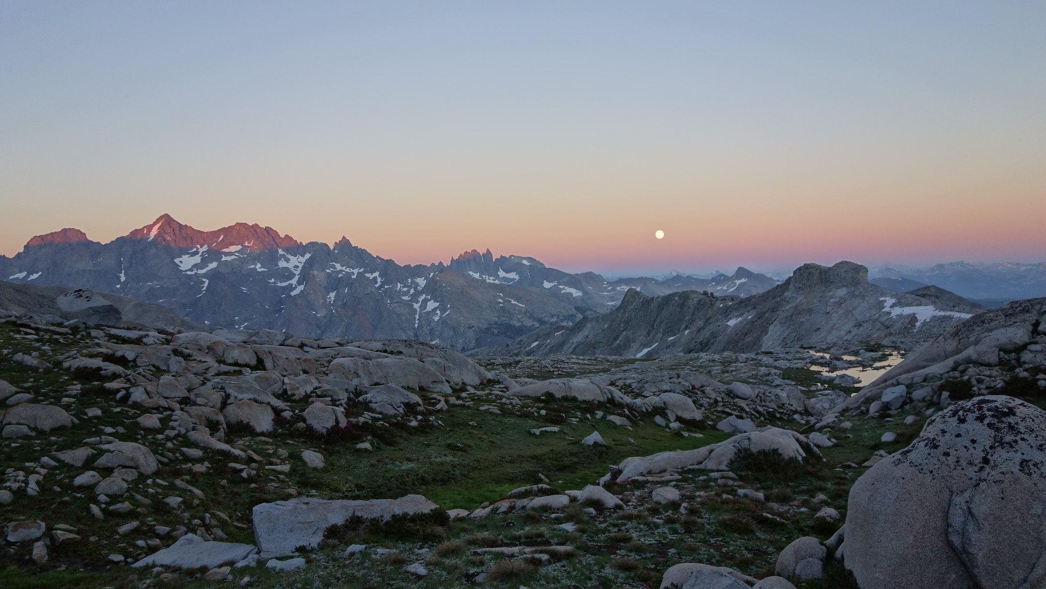
Hutchings, Sluggo top left
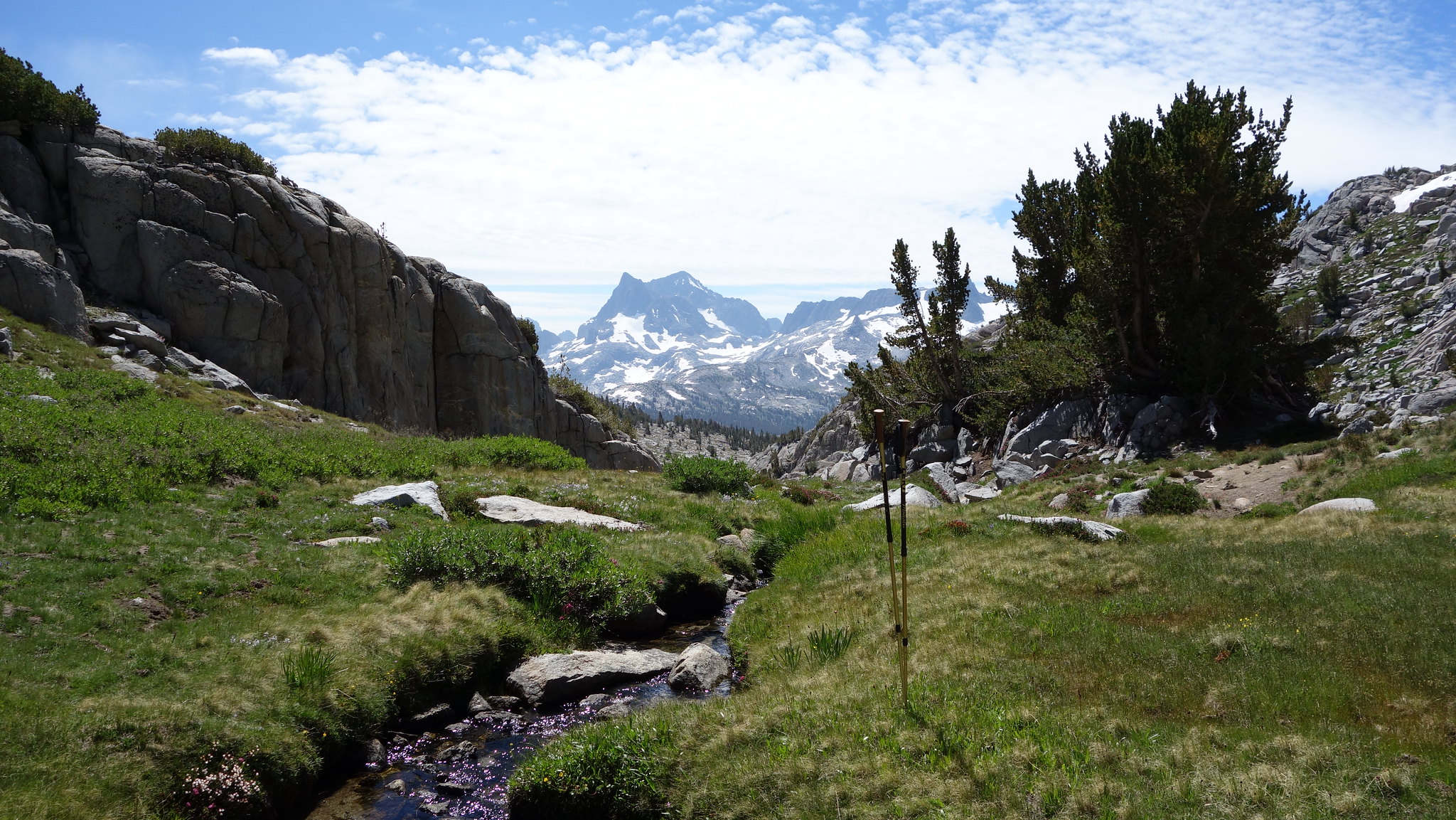
Crossing into Lyell Fork. Foerster Ridge in the top right - you can see the hanging valley below in half shadow

Highest lakes Lyell Fork
Headed up Foerster Ridge (it's possible to avoid the snow here if you want), Sluggo in the distance
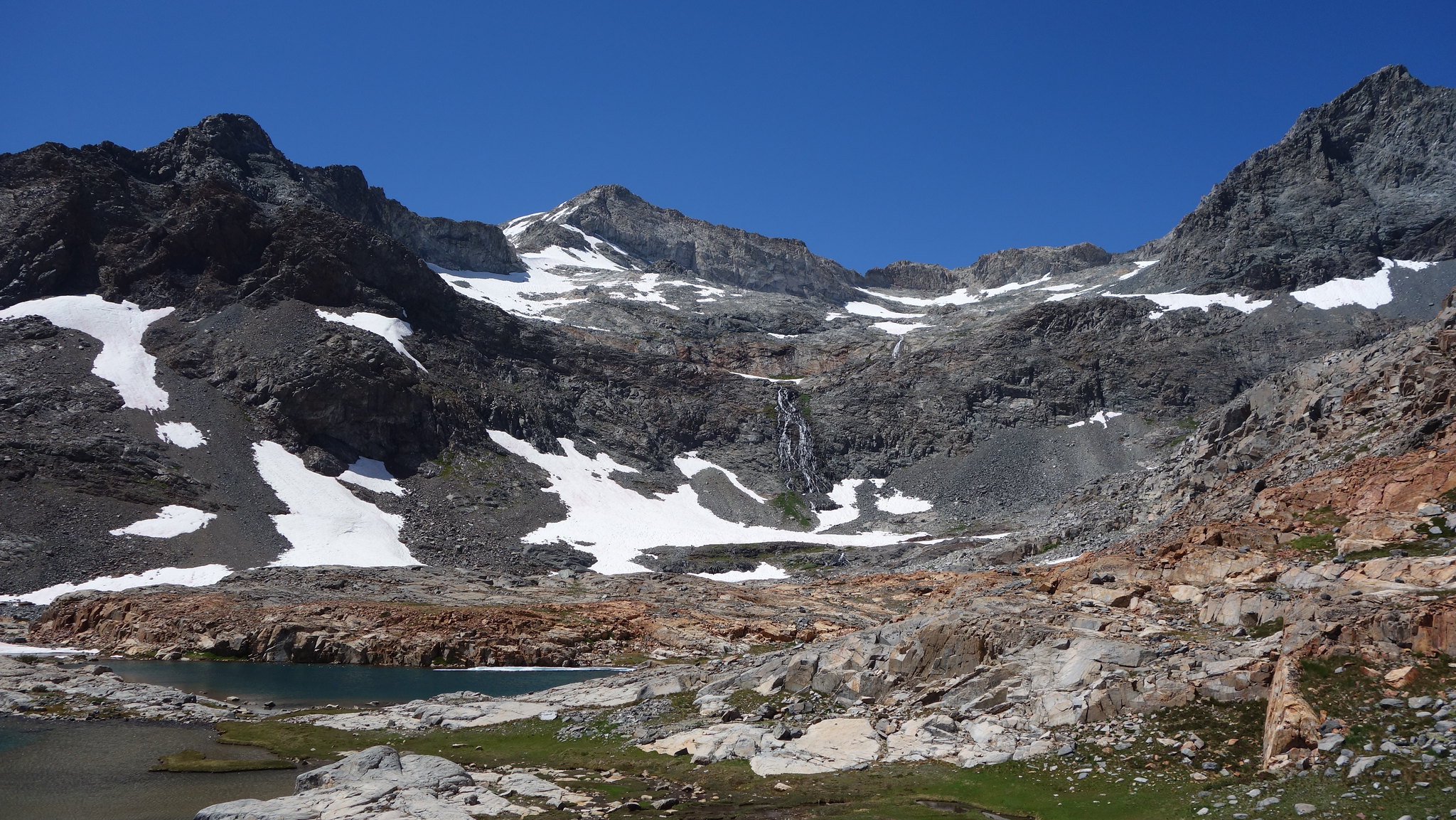
Above Blue Lake, the finest view from any lake
Bench Canyon is awesome
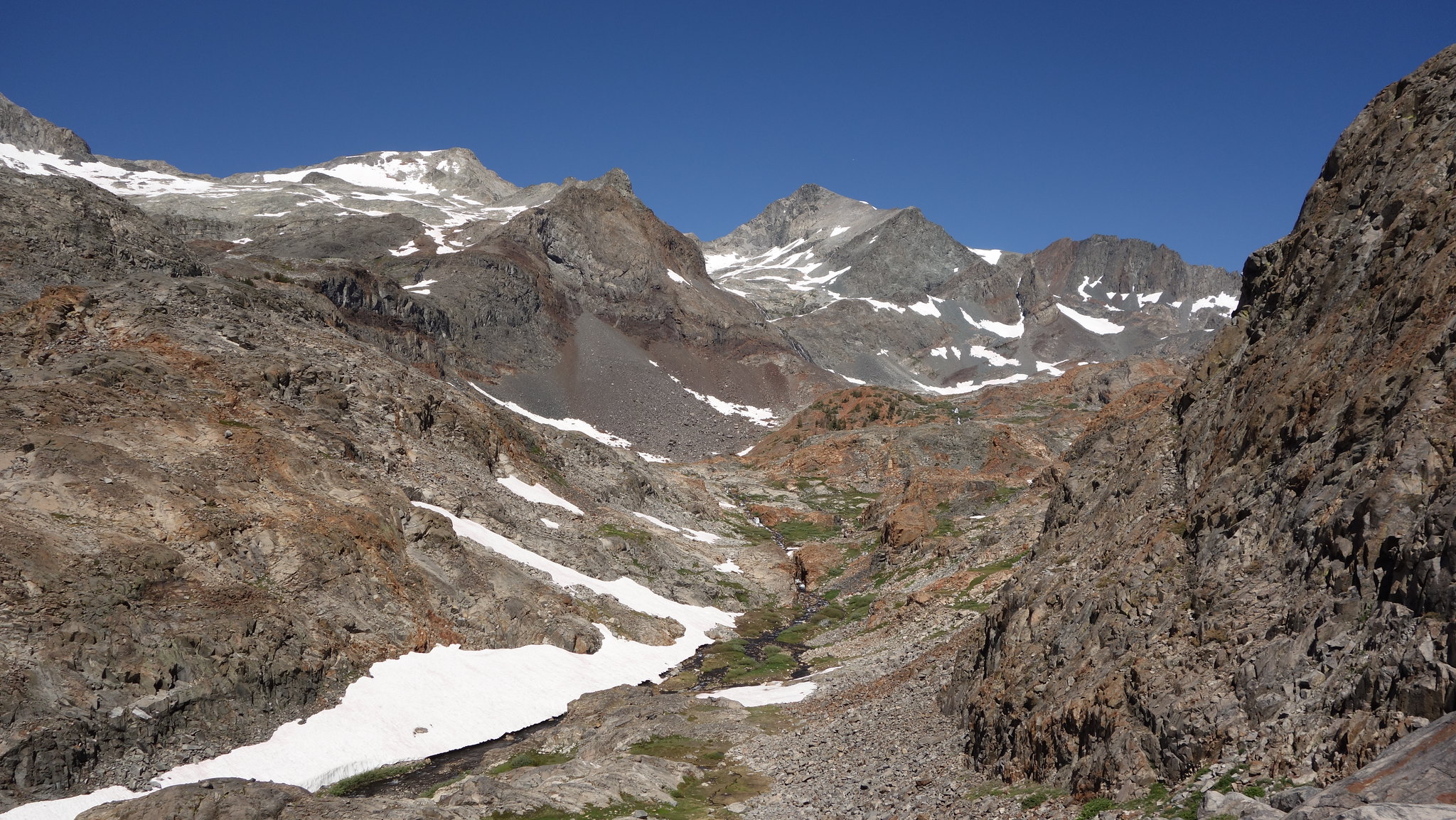
North Fork San Joaquin
N Fork San Joaquin
Clinch Pass, just right of the buttress sticking up in the center
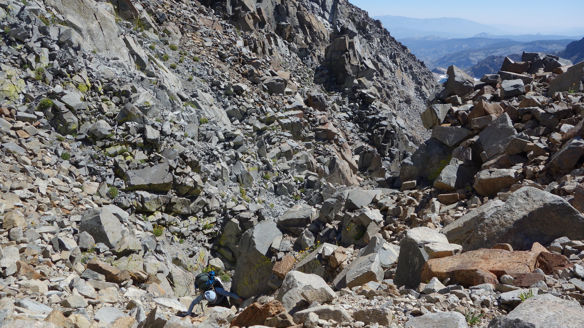
The best rock of the whole damn thing
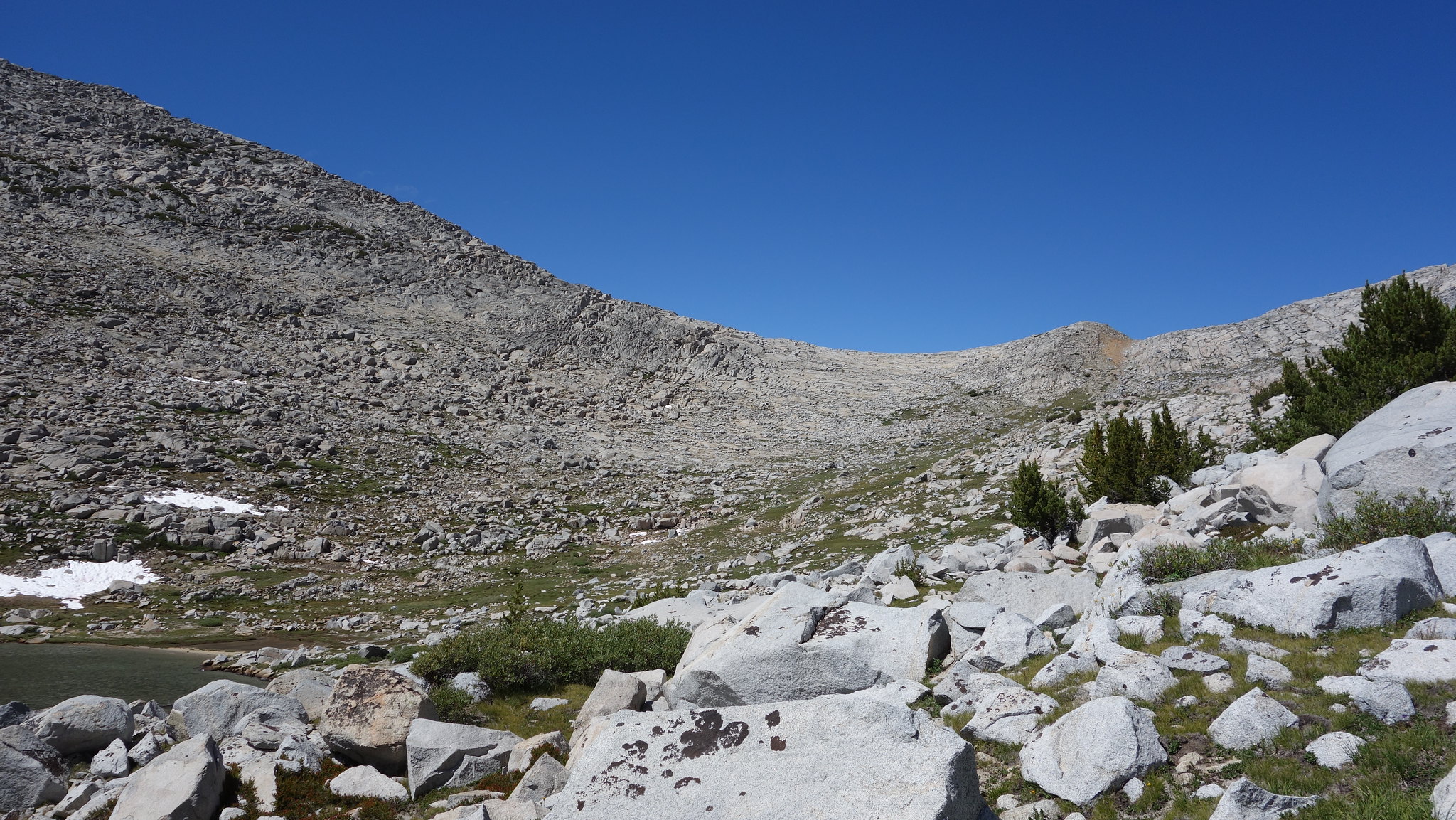
Clinch N side (there's a long snowfield below this that would be difficult to avoid), Lost Lakes far right
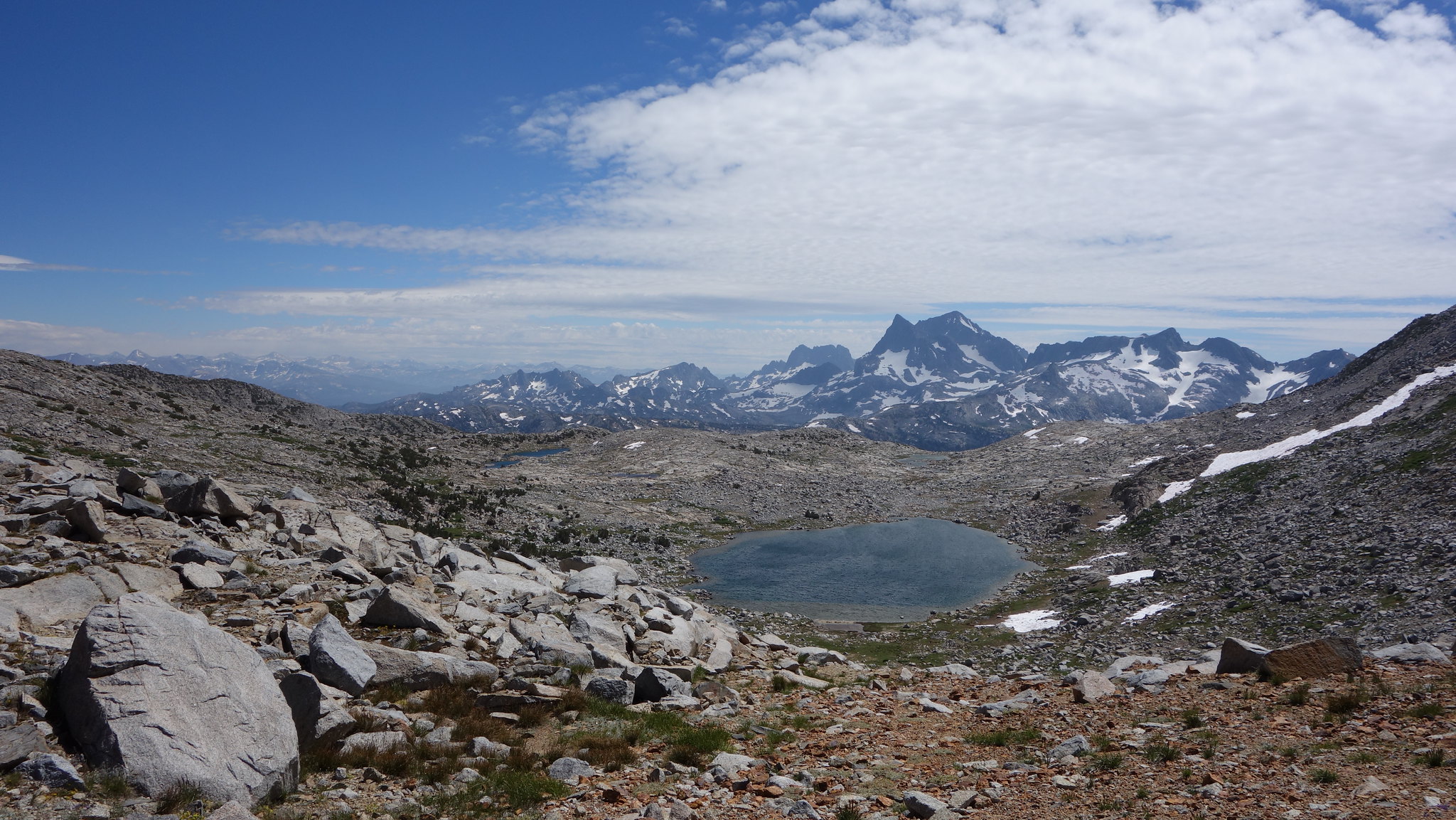
Going up to Lost Lakes Pass we stayed close to Koip Crest, and managed a beautiful, mellow ascent with many scenes like this
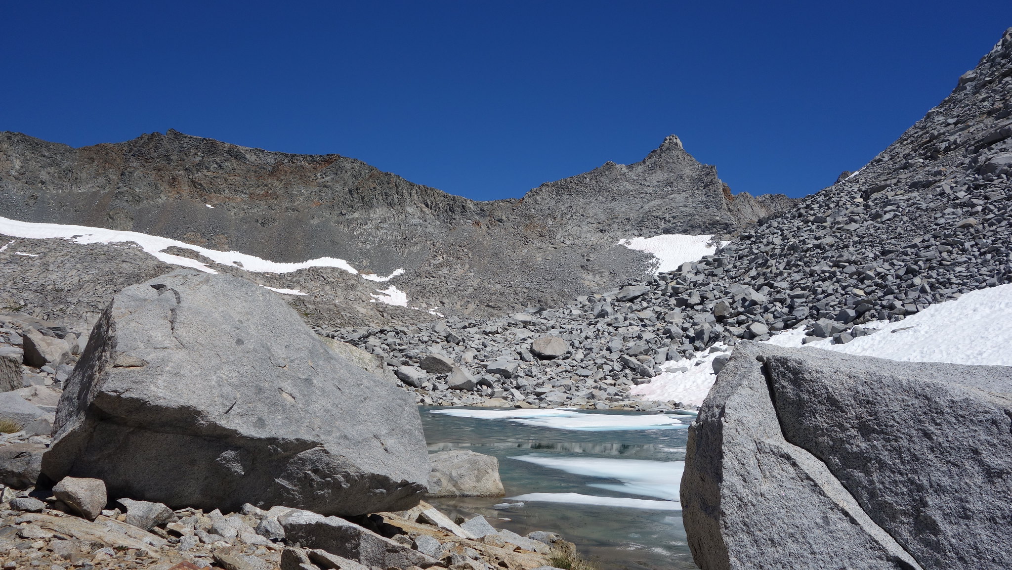
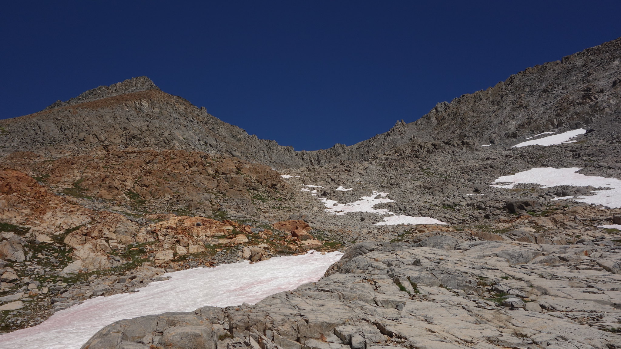
Lost Lakes Pass
The view!


