
Participants: me and him (my brother)
Weather: Sun, massive thunderstorms, mists, high winds, stillness, hail
Duration: About five days of walking in all
Accommodation: Four nights wildcamp – 3, then 1. Two nights Hotel (incl. rest day)
Distance: 120kms – 75 miles
Ascent: 6200m

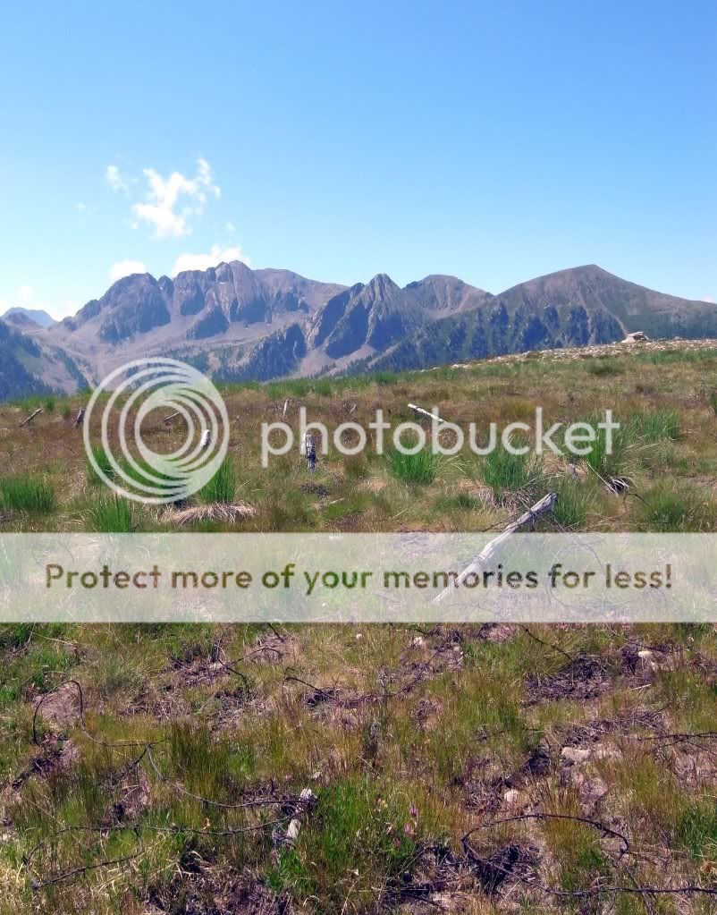
The plan: A high-level traverse of the frontier ridges of the Mercantour Alps from St Etienne de Tinee heading South-East to St Martin Vesubie

Friday evening. Nice Airport, Southern France, 32 degrees. Muggy. A hotel looms from the heat haze…..
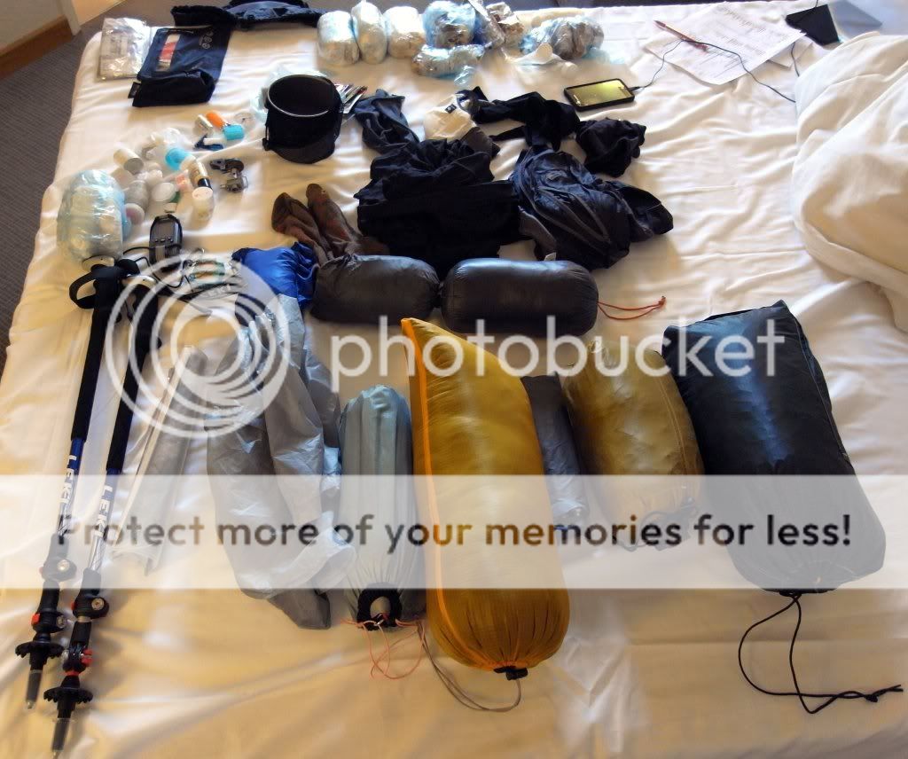
Saturday morning. Nice Novotel Arenas, Southern France. Air-conditioning; double espresso, breakfast…..packing...
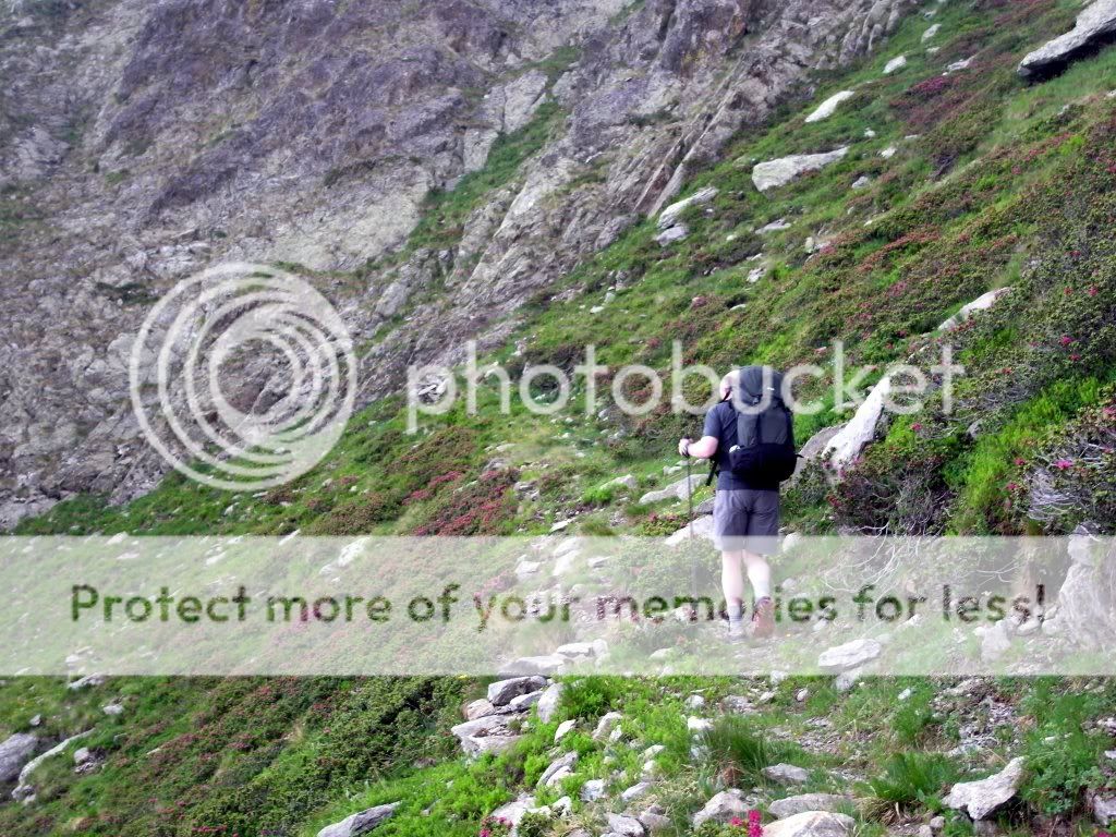
Day 1: 4km – 2 miles, 672m

The arrival of my brother. Hunt for a screw-in gas cartridge. Leisurely lunch and a two-hour bus ride into the valley that parallels our ridge. Pierre-Yves and taxi there as arranged for an eight kilometre trip to our kick-off point at Le Pra (a subtle tactic that dispenses with 300m of ascent
A fine time of the evening to be setting off – around 20:00 in warm and still conditions. Typical mountain paths zig-zag lazily up our easy first stretch over the Plateau de Morgon....


We pitch at 2250m after 600m of climbing and a few Km’s at a ruined hut in a grassy clearing. Thankfully I hang my undies to air after our dinner of ripe cheese and bread. Not sure which was the most offensive...
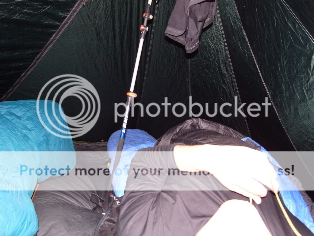
A considerable tempest roars throughout the night (outside I hasten to add). Rich does not sleep much....my earplugs ensure I do.....
Day 2: 20km – 13 miles, 1672m

Flip open seeing device....

We break through the Crete de la Cote, contour awhile and then drop to the Pas des Pecheurs..

The descending trio of the Lacs de Vens are crossed in light rain....which strengthens as we climb towards the higher Lac des Barborrotes at 2400m.
The ‘hat’ – christened ‘my gay hat’ by its non-PC owner makes its first (sadly not last) appearance....

I consider a DNA test.

Or perhaps not....
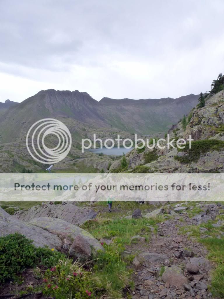
Dropping down into an area of jumbled moraines we are en route for the Chemin de l’Energie, a 1900’s hydroelectric scheme that never reached fruition and now a very gently rising footpath chopped into the hillside.


A pause for a rather tasty omelette (€5.80 each) at the 2523m Refuge de Rabuons seems a worthy idea.


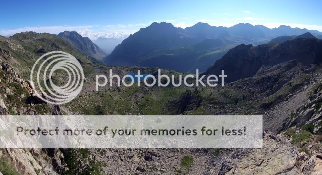
The route augments and as it is past 2400m (my normal ‘getting used to it’ altitude) I begin to labour somewhat as we crest an unmanned 2705m col near the Tete de Jassine by a rough track to gain the huge moraine field of the Vallons de Clapiere and subsequently a fine route that contours the slopes – the Balcons de Mercantour (not on the IGN 1:25,000 map).


Proof :oops:

The Balcons de Mercantour


Along these we poddle; looking somewhat desperately for water which burbles down just before a fine-looking bivvy spot (the French call brief overnight stays in National Parks ‘bivouacs’ and I’m sticking with that; 19:00-07:00 pitch/strike is the norm).

A wander while dinnering, then retirement....

It blows an absolute pole-shuddering hoolie for much of the night. Some of the more forceful blast even awaken me; it must have been gusting to 70mph with whipping winds gaining momentum as heavy air dropped down through the cirques stacked above us.
Day 3: 12km – 7 miles, 1200m

Morning peace ensues.

The Balcons seem to follow ancient glacial shelves and the path switches back now and then to gain height and climb from one to another.


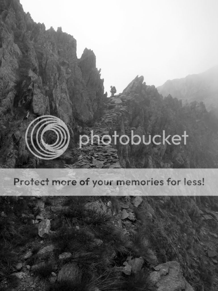
Tha Balcons are left behind as we climb towards the frontier at the 2500m Pas de Colle Longue amidst old fortifications and much rusted barbed wire.


A howff and a half
The border drops us down into a bleak and shattered landscape; quietly dripping, old snow rotting, cold. No hint of Gelati


The path such as it is fades in and out under dank and vaguely menacing cliffs and screes skirting the massively rocky flanks of the Tete de Lautaret which is somewhere above us, lost to view in mists. I can’t shake off a vague feeling of insecurity.

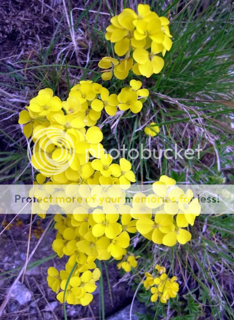
An entertaining ‘hunt the path’ scrunch later we emerge to switchbacks decked with pretty flowers. And Richard.
Pant up to an unnamed Italian Col at around 2700m....


You don’t really want to slide off this....

Before further progress leads us to the 2458m Col de la Guercha
We get briefly lost (hand up) before finding the traverse to the Pas de Bouef.


A lack of water is remedied by Rich stuffing his Platty with old snow.

More amusing terror tweaking and we arrive at the aforementioned Pas de Bouef at 2610m


From here I have ‘planned/imagined’ a bit of off-trail scampering along a fine (if you could see it
 ) ridge...which...
...leads to the Tete de Rougnouse de la Guercha at 2694m...

...and a little more off trail – off the right bloody direction too :oops:
Suitably chastened we pay attention and gain a cairn line.

This, the track of a ski-touring route, is fairly rough with some exposure...but it gets us where we want to be; alive.

Alas the ‘hat’ severely undermines the ‘hardy mountaineer’ image I am trying to impart here...

But all good things come to an end (he’s taken it off 8O )

After a complex day of route finding in damp mists and a mere 12Km we call it an early afternoon at Lac Lausfer Superieur.


The tent going up on the only patch of grass not battered by fallen boulders. Smart roulette.

Day 4: 31km – 20 miles, 1500m

The tent is sopping after a still, clear, and cold night – no matter, Rich has caught up on the last two nights broken sleep and looks refreshed. I slide a little more stuff into his pack
Our only Boquetin of the trip wanders by…

Over a small col and past smaller lakes towards the sun and breakfast….I’d have had a bit more to eat if I’d realised we were going to have a 13 hour day on the hill.


Sunny this Col might be….but it’s not the one we want; early morning bleary mistake :oops:
Scuttle back..

…to arrive (looking as though we meant to do that anyway) at the right Col, the 2430m Col de Lausfer. The sun is seriously out
Views into Italy are superb..


A fantastic old military path sweeps around to the North and East on the way to the Col de St Anne.


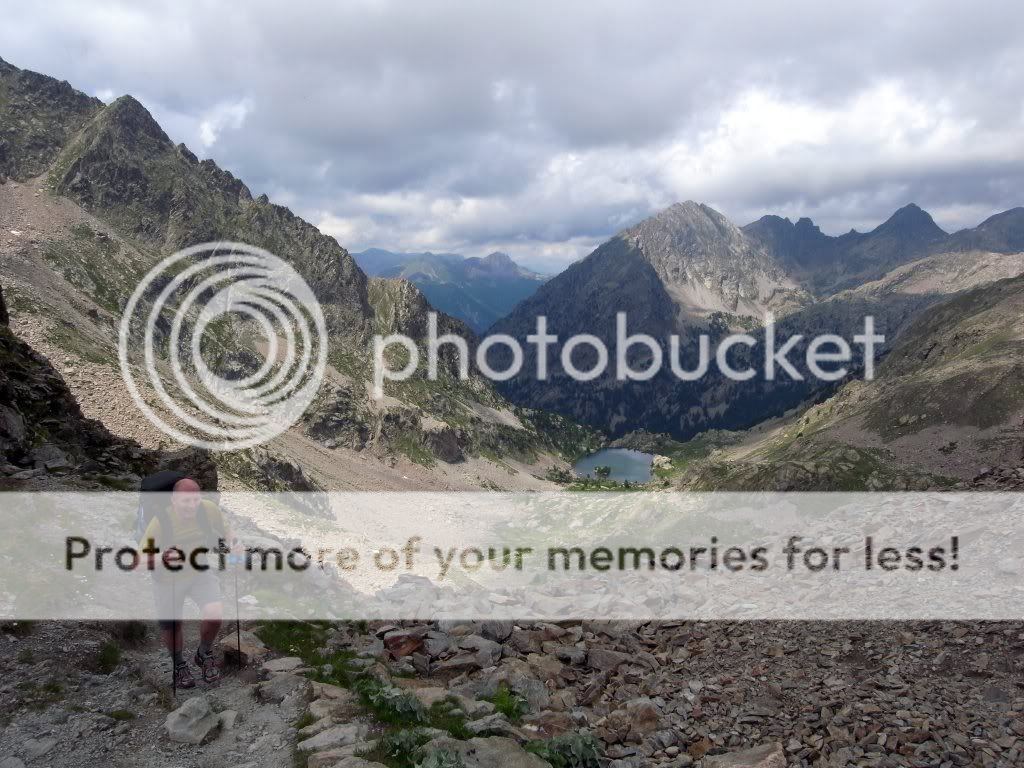
After dropping down into Italy (still no Gelati) a foul steep ascent of a rough and rocky airless sun-blasted corridor is undertaken to gain the rolling 5km ridge of the Crete de la Lausetta. Love it


I rally sufficiently to improve Rich’s picture…

And at last salvation rises from the heat haze…
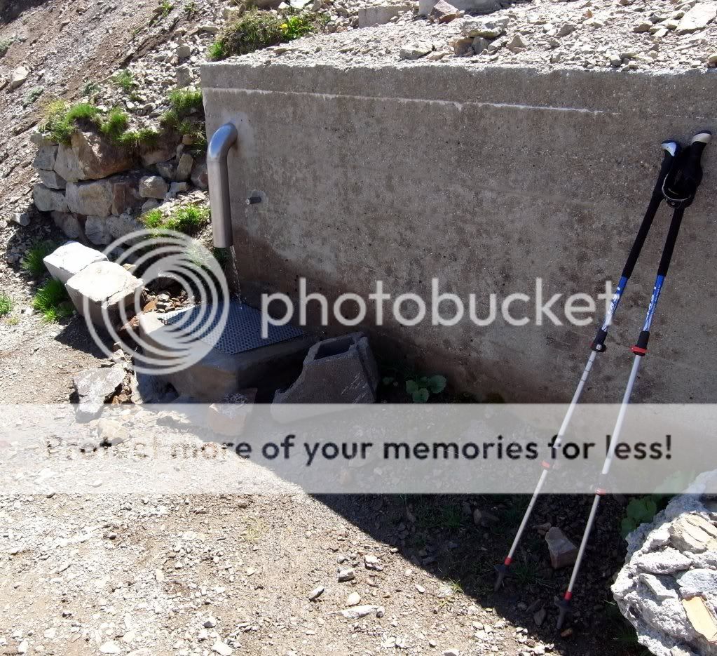
I do like a cold spigot.
The Col de la Lombarde is bedecked with cyclists and walkers who are descending the Cime that rises above it. This had been on my route plan but I’m too knackered and we decide to head via a couple of lower cols to camp somewhere. Meanwhile the tents and sleeping bags air and dry. Then it is off to cut through a ski resort – Isola 2000 – huge; they have kindly bulldozed all the path signs….bastards.

We leave all this behind on our way to the Col Merciere (2342m) and en route I grind to a rather pathetic halt, hurling myself petulantly to the ground and refusing to continue. Scampering septuagenarians descending from far higher passes shame me into continuation. Not sure if my insouciant air fools them though

After a few days of shattered rocks and hard ground the grassy Col is a nice change. We consider a bivouac but it is far too early. Continue.

The sky looks a ‘little’ threatening. Such meteorological foresight. No pictures for a few hours as it buckets down. A huge thunderstorm that is hard and cold (some nice hail therin) for two hours. The forest road we were dancing down becomes a stream. Stopping invites the insect hordes to come out and nibble at extremities. We cannot pitch in this. Continue. For three hours. At least the direction is down. Ten miles down.
I’ve not been this wet for a while. We arrive at Le Boreon – tomorrow’s destination; jump into the first hotel we see. Dinner 10 minutes later. Salvation

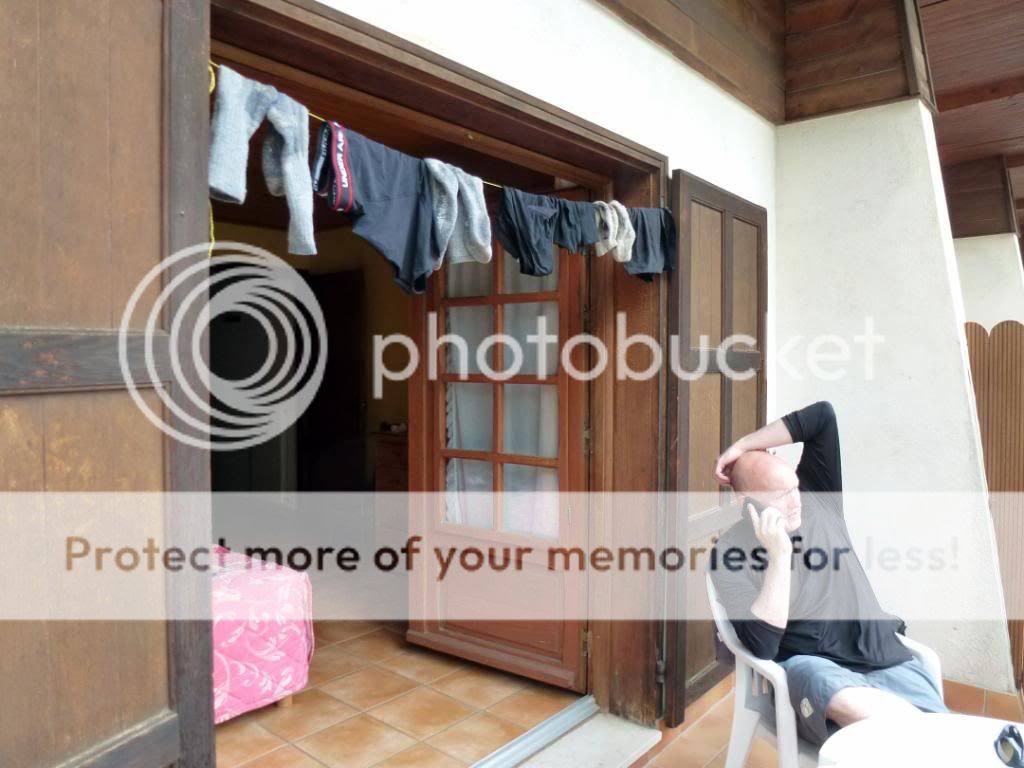
Very hot showers – wearing and washing clothes at the same time. Sleep.
We were going to have a rest day anyway and so drop down to the valley as we need to get more food. A fine hotel with a balcony facilitates work, play, and watching another near-day-long thunderstorm.


Day 5: 7km – 4 miles, 1100m

Our penultimate day of walking will be a bit of a dally (apart from the 1100m ascent) as we have to finish tomorrow and get down the valley to Nice and flights. Still, this gives lots of time for chamois spotting.
There’s one...

A relatively easy climb from the valley affords shade as we move above the treeline.

More of the pesky little blighters...

The ascent to the initial cirque which harbours the Lac des Trecolpas at around 2200m is easy and pleasant; the next section up to the Col looks slightly less so. Time being a moveable feast on this day we tarry awhile before moving on....

...towards that central notch on the skyline...

Still smiling (doltish simplicity 8) )
The 2449m Pas de Ladres arrives eventually. We are seeing more people in a morning in this relatively popular area than we saw in the first four days of the trip.

Ho hum.....

Cute....tasty?

Neither tasty or cute....

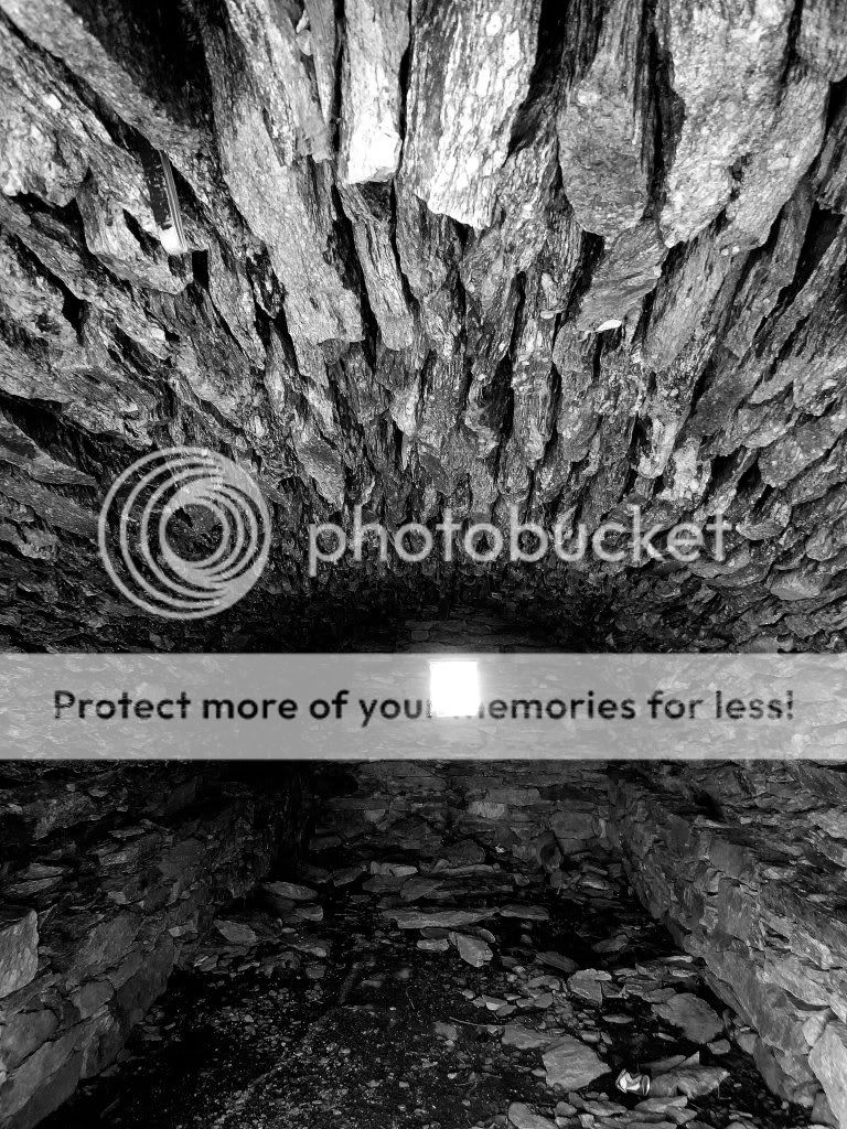
A lazy afternoon of Col hanging and exploration of old war fortifications remains...


:oops:
At last the chamois-spotters depart ‘our’ lake and descend to the sanctity of the refuge below; we can put the tent up....


A fine last pitch.

Rather than champagne we decide to celebrate with the finest of libations from the last town.....alas there is no park bench handy....


Another fine still (comatose) night follows.....

Day 6: 14km – 9 miles, 181m

Morning.

The (un)likely lads.

An easy downhill wander leads us into the (relative) fleshpots of the Refuge Madonna de Fenestre. People. Many of them.
A local bus would take us down to the town below but is a two-hour wait. We decide to walk it as certain matters are pressing....


