
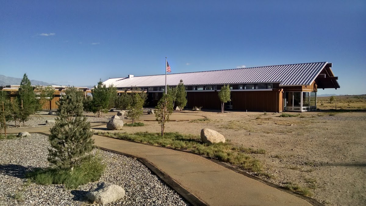
Eastern Sierra Interagency Visitor Center in Lone Pine
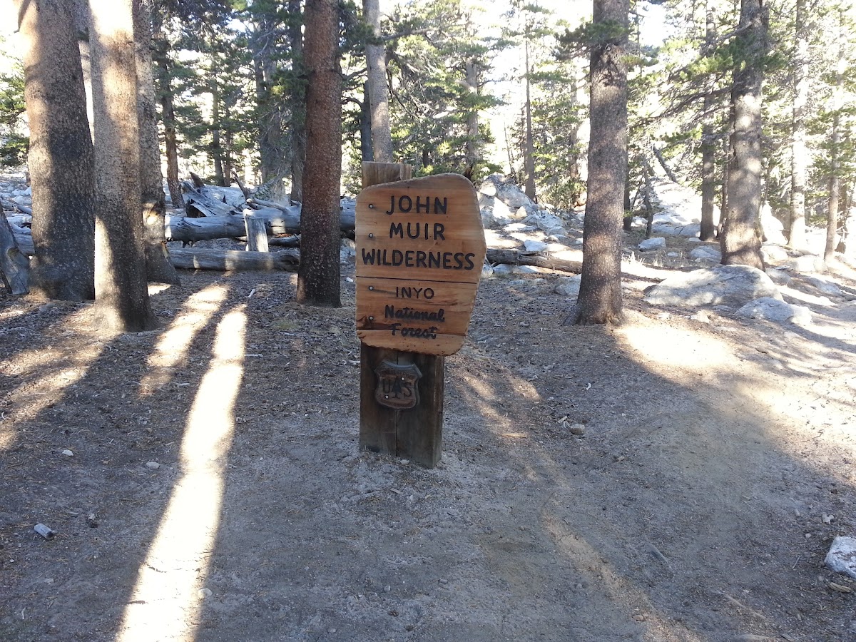
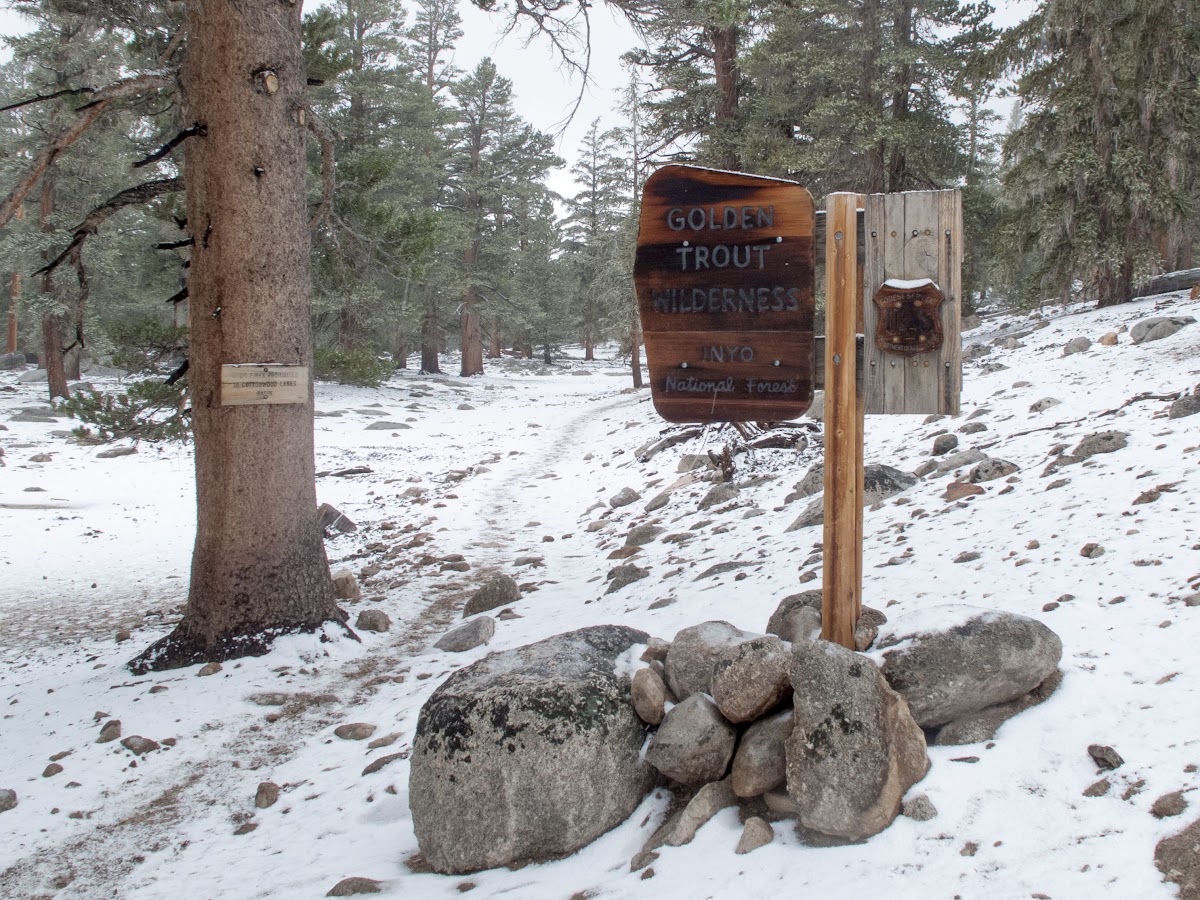
Permit in hand I headed up from Lone Pine to the Cottonwood Lakes trail head on Horseshoe Meadows Road. Arrived about 5:30, with light fading I set up my tent and proceeded to eat dinner. Although I was solo on this trip I've found you can always find someone at hiker campsites to sit around and BS with around the campfire. This was no exception. A couple of hikers from SF were in an adjacent site and were planning on day hiking Mount Langley the following morning. We hung out and BS'd for a while till we decided it was time to turn in around 23:00. I woke up the next morning around 5:30 and proceeded to break down my tent and re-pack all my gear including the requisite bear canister for food storage. Around 7:00 I set off for my base camp for the next day at Cottonwood Lake #5. You start out in Golden Trout Wilderness but a few miles later you cross into John Muir Wilderness.
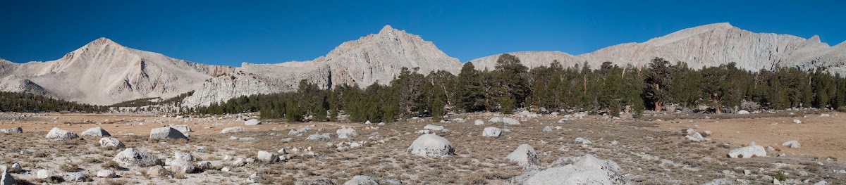
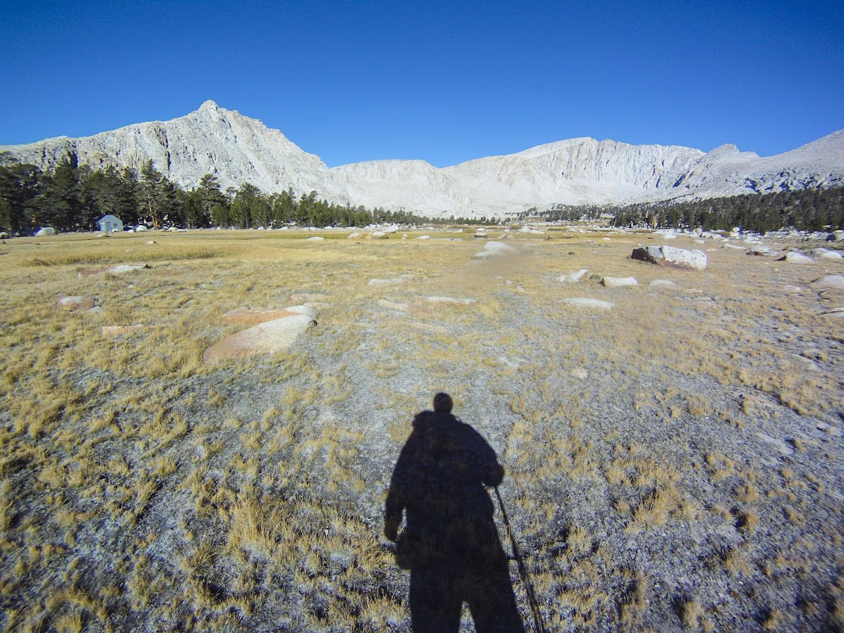
The first 5 miles or so are relatively flat with minimal elevation gain while going through some densely wooded areas with a few meadows thrown in here and there. Once you come out of the woods though, you are greeted by wide open meadows, lakes and high sierra granite
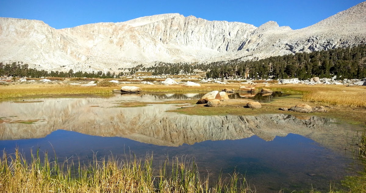
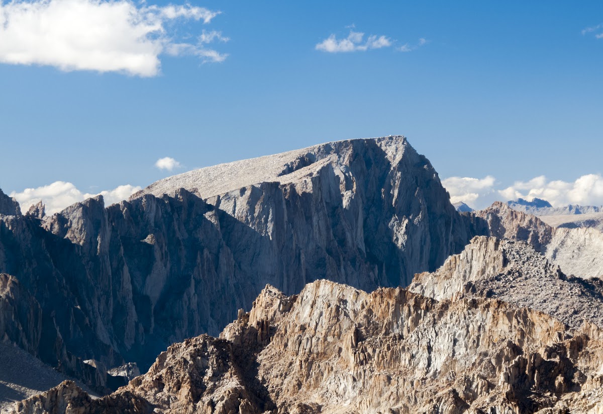
Mount Langley front and center, reflected in a small tarn.
From there I proceeded through a couple of meadows and small stands of timber and several other lakes until I came to Lake #5. I found a sheltered spot to pitch my tent since the weather forecast called for winds later in the evening. With my tent pitched and my pack lightened of all unnecessary gear and food I proceeded around the end of Lake #4 and headed up Old Army Pass.
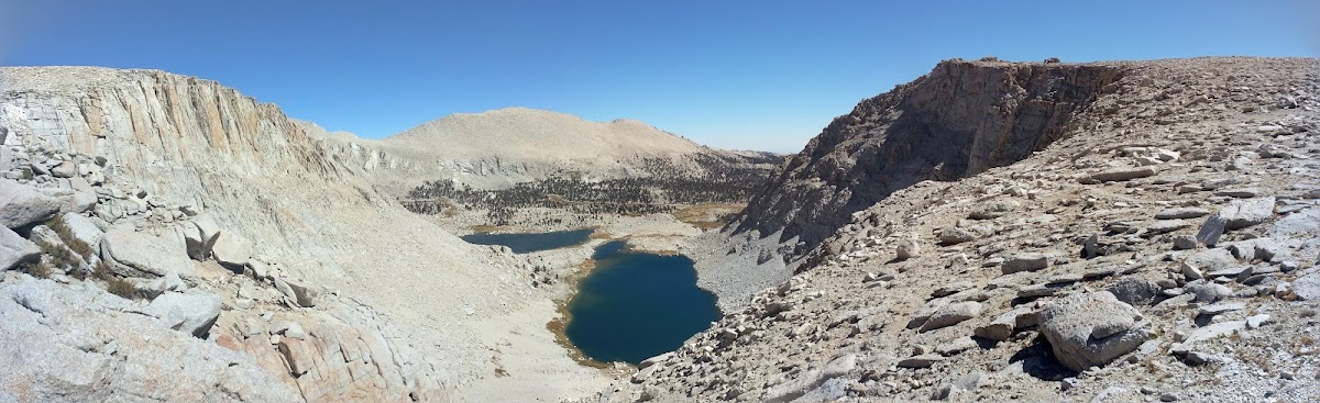
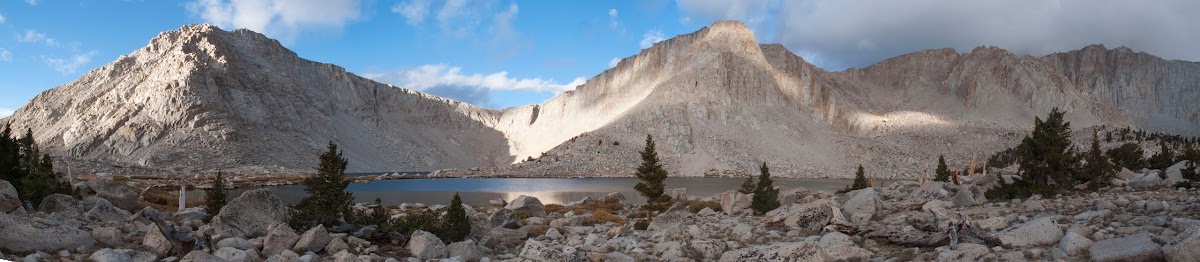
Looking down from Old Army Pass with Cottonwood Lake #4 in the center and #5 to the left.
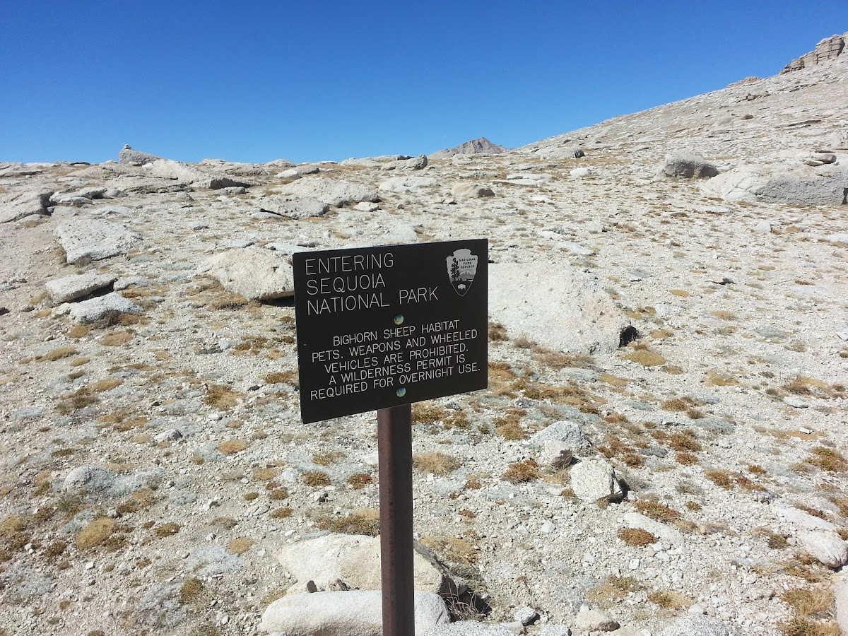
Once at the top of OAP you enter Sequoia National Park.
From there it's mostly up hill, gradual at first then getting steeper as you climb. OAP is at about 12K feet, and the summit of Langley is at 14K. About halfway from OAP the National Park Service decided to cut down on the number of random use trails that go up and down Langley by putting up large cairns to mark the "official" route up. This works well, until after you make a small scramble up and see the cairns going up the hill. From that point up it's a bunch of random use trails among the sand and rocks from cairn to cairn. Finally though, when you get to the top you are greeted with one hell of a view.
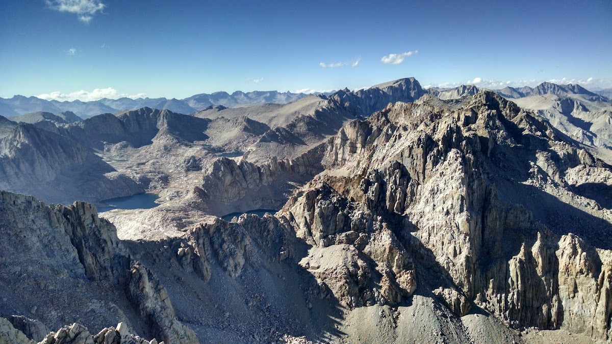
Looking north east from the summit of Mount Langley across the Miter Basin with Sky Blue Lake, Iridescent Lake, and Mt. Whitney.
Zoomed in shot of Mt. Whitney, with the summit hut visible at the top
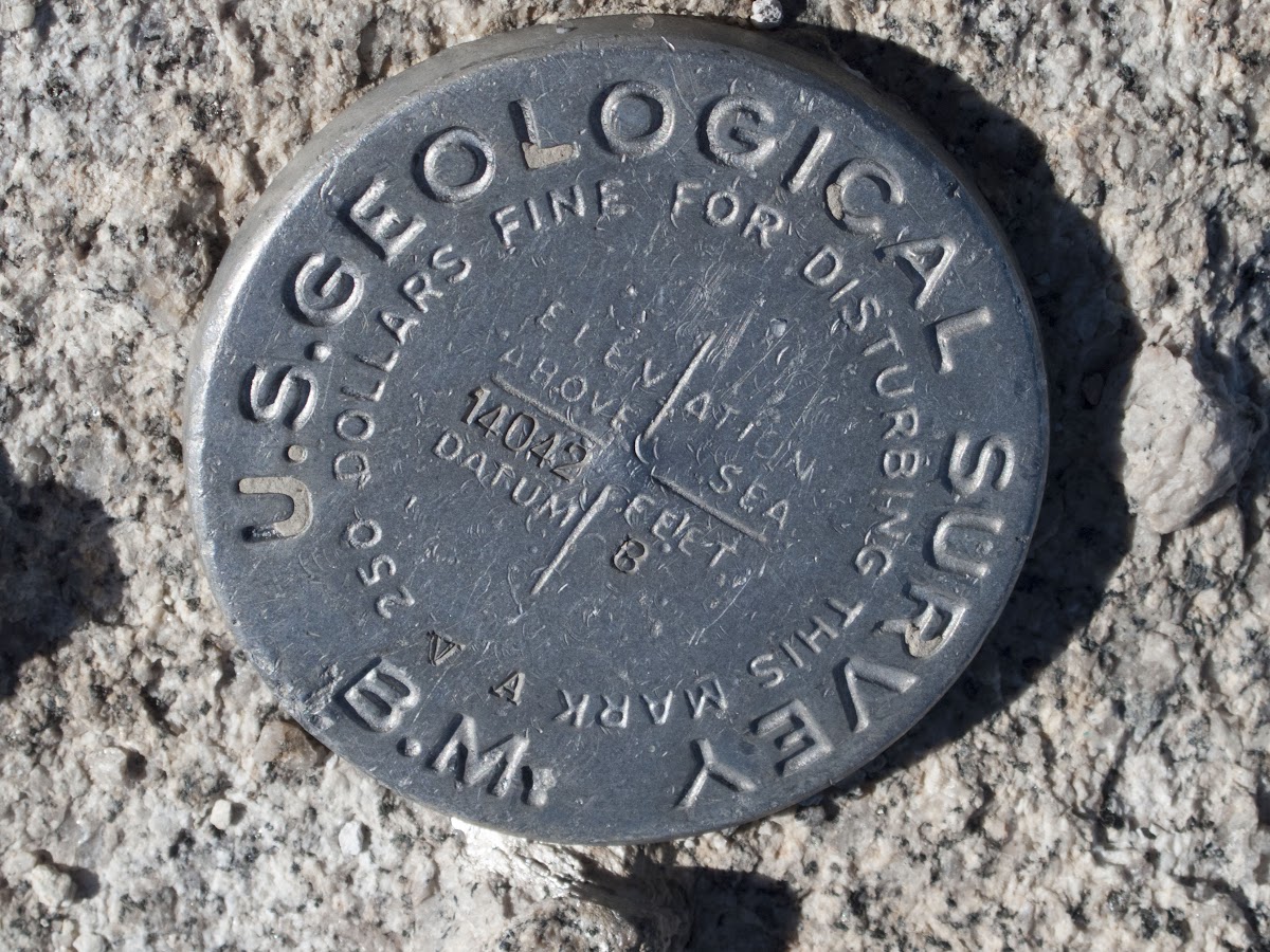
Benchmark
The hike up to the top had taken a bit longer than I had anticipated - unless you have a few days to spend acclimating elevation will slow you down. So after spending about a half hour at the top gawking and taking tons of pics I put on my windbreaker and headed down the mountain the way I came and headed back to camp. I arrived at my campsite right at 18:30 when it was getting dark. The wind had picked up and was getting pretty cold. I huddled in the break that I had pitched my tent and and made ramen and oatmeal for dinner before layering up and hopping in my tent and read a book until I started nodding off. I had originally planned on taking some nice star shots, but it was too dam cold and windy. IIRC it got down to the lower 20's that night. I woke up at 7:00 the next morning to a change in wind direction and building clouds.
Looking west from the eastern shore of Cottonwood Lake #5 towards Mount Langley and Old Army Pass
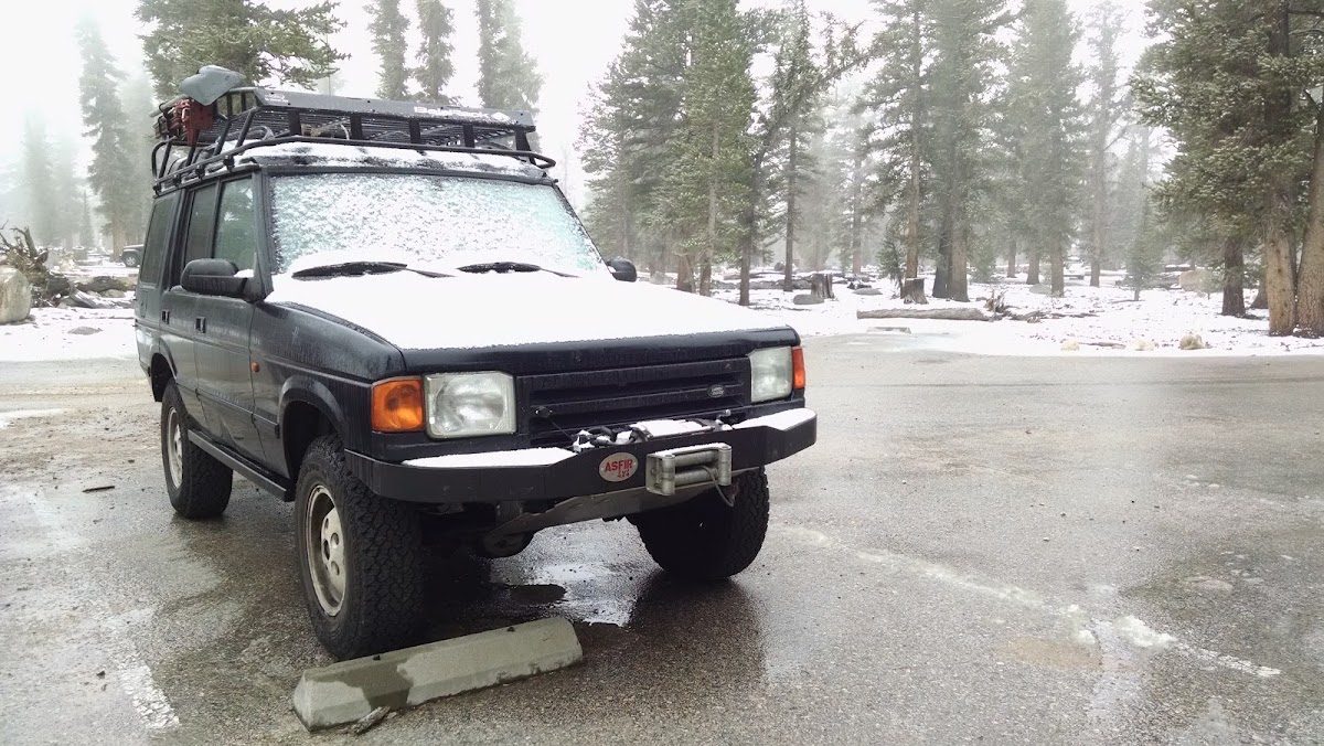
The weather forecast before I headed up Friday had said there was high chance of snow after 11:00 so I got my stuff packed up and hit the trail back to the truck at 8:30. Turns out the forecast had obviously changed and about 20 min into my hike it started to snow, light at first then gathering in intensity.
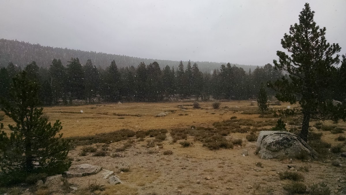
Hiking in the falling snow was great. The silence in the woods was amazing, the only sounds being the occasional bird and some random thunder. I made it to the border of Golden Trout Wilderness and to my truck for the 4 hour schlep back to LA.
Link to the map and track of my hike for anyone interested: http://caltopo.com/m/745M


