On 7/23 I drove up to Yosemite looking for a campsite at Tioga or Ellery and even though I got there at 11:00 am and it was Thursday, all sites were full at these two walk-in campgrounds. I got lucky at the campground called "Junction" at the junction of Saddlebag Road and Tioga Road.
On 7/24, K and I made a hearty breakfast and drove up Saddlebag Road to Sawmill Hike-in Campground where we read we could start the walk to Mount Conness. We were confused about where to park. The parking lot for Sawmill was clearly signed, telling us not to park there if we were not going to be Sawmill residents that evening, or else we would be towed. Yosemite this time of year is so full of people doing things they shouldn’t be doing, I wouldn’t have been surprised if they actually took us up on it. Plus, there were no spaces. Eventually, we realized we could park along Saddlebag Lake Road. There were some others squeezed in between trees at the very edge of the dirt road, so why couldn’t we!
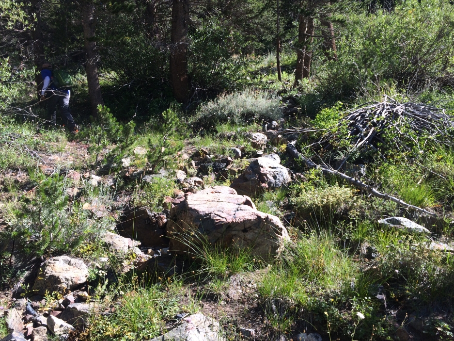
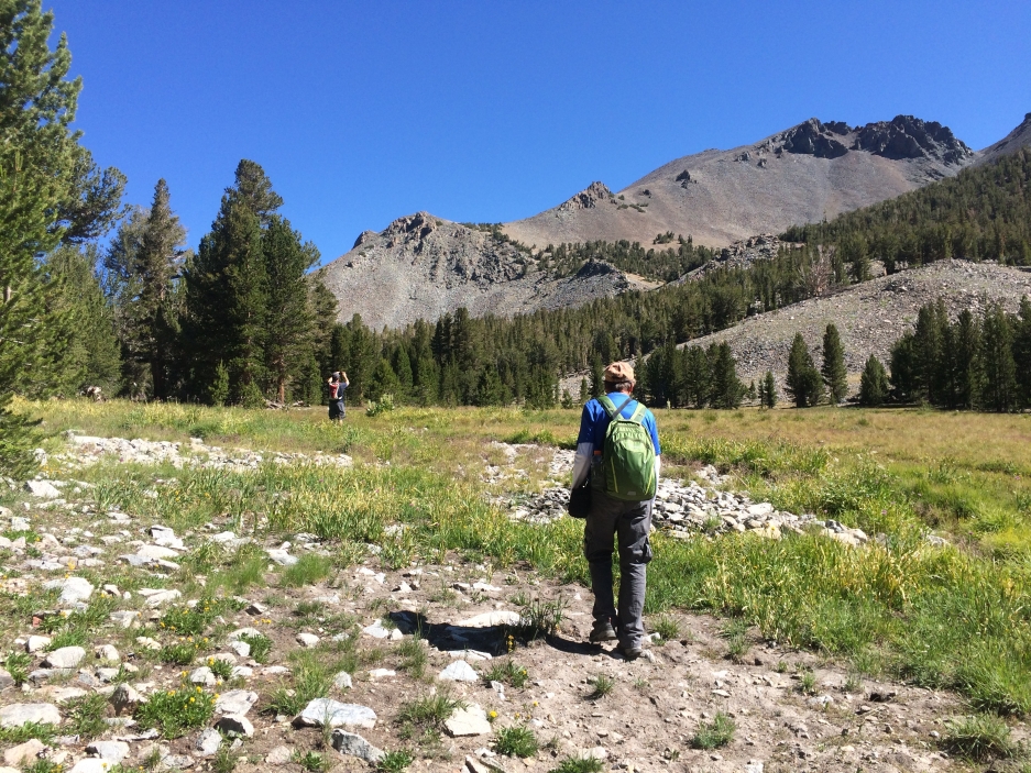
We walked through idyllic Sawmill Camp on an old 4wd road. The road ended at about a mile in near an abandoned research station. From other trip reports, I expected cross country travel from here, but there was a clear trail for a couple more miles. Nice.
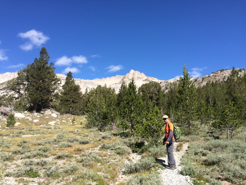
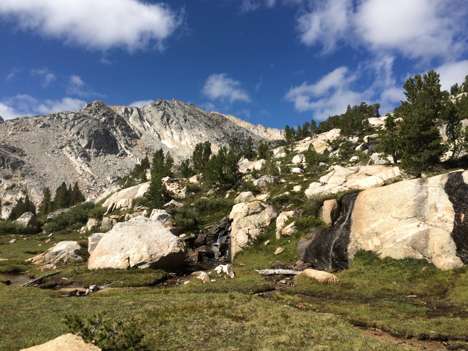
There were beautiful meadows and streams all along the way.
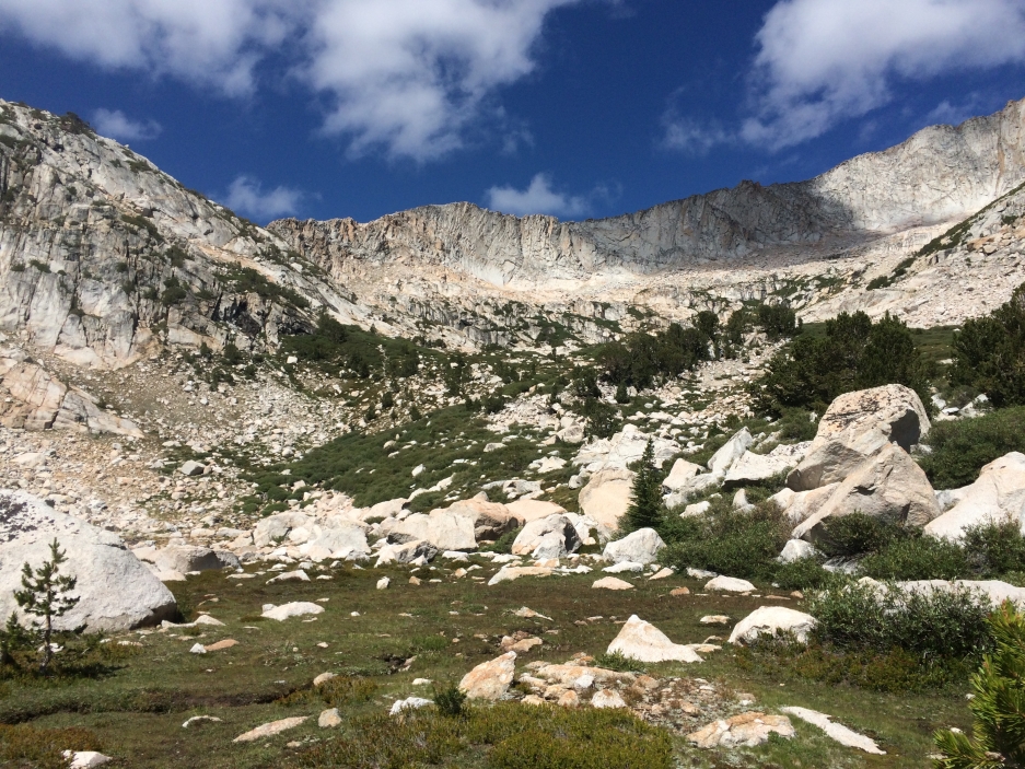
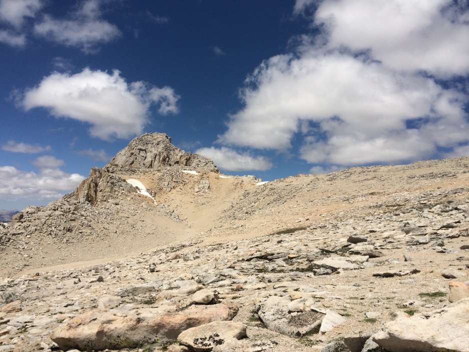
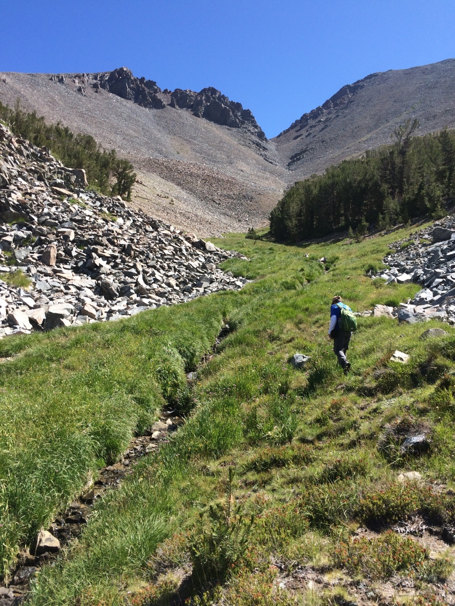
Eventually, the ridge between Mount Conness and White Mountain came into view. The little pass is hidden from view (on the left) in the picture below. Here, we encountered some bushwhacking, fresh mud, and route-finding.
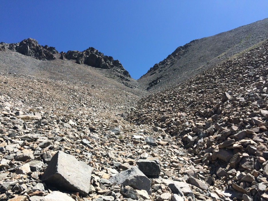
As we got up to the rocks, we stayed left and aimed for the low point. Big piles of boulders obscured our view so it was difficult to eyeball. The map/compass or GPS should be consulted here to avoid unnecessary toil on loose sand and rock. I went left of this little spire (pictured below). It was easy and fun class 2.
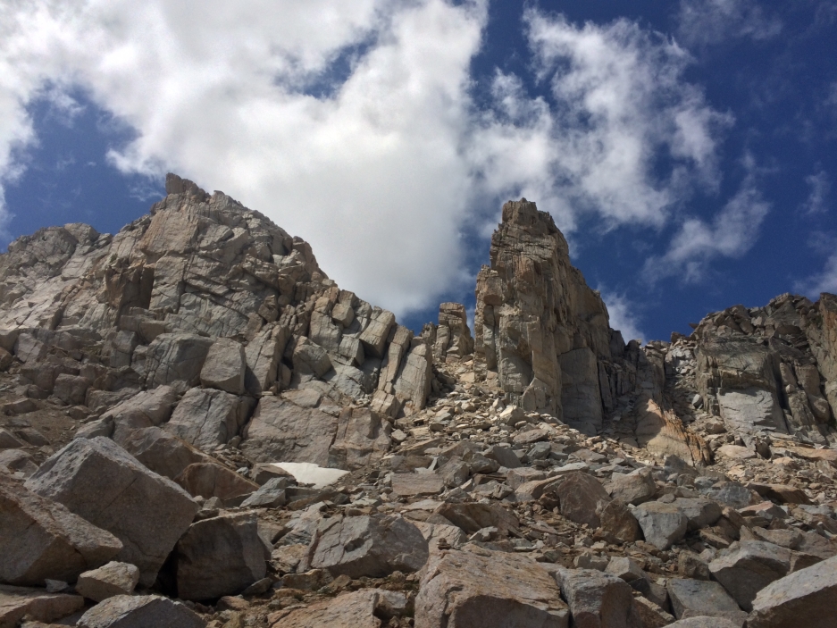
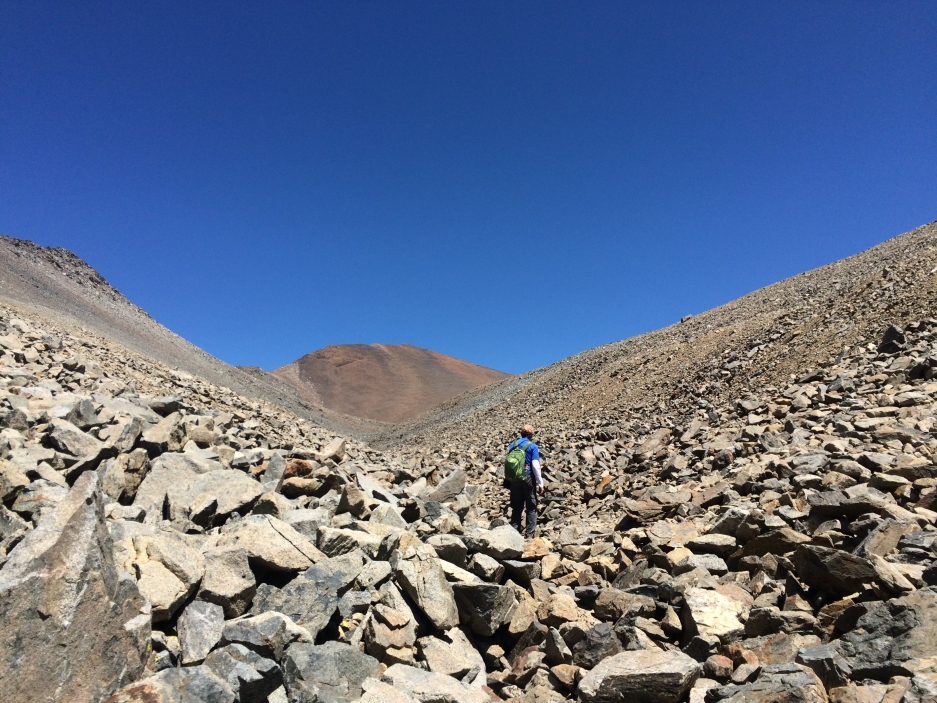
Soon we popped out onto the ridge. K and I took slightly different chutes to avoid dislodging a rock onto the other’s head. Below is a view of the other side.
We took note of the scenery around us in order to take the same chutes down and took off on a sometimes faint, mostly clear, use-trail towards Conness that travelled along the west face of the ridge. There were beautiful views all along the way. Finally, the summit block came into view and we began to ascend again to the edge of the ridge. We simply followed the use-trail up.
Much has been said about this summit block and I will happily add my voice to the noise. It’s not for timid beginners, although adventurous and fit beginners will enjoy it very much. There are places where the exposure will be scary for some, but there is no lack of holds and footing to put any reasonably fit person in danger. The rock is firm and well travelled upon.
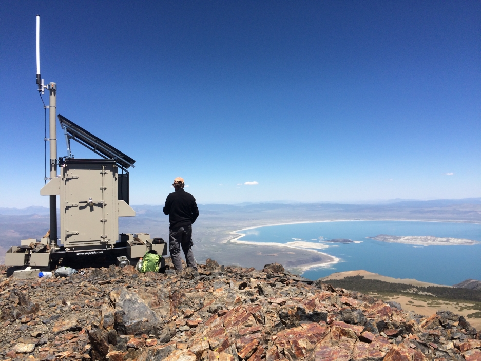
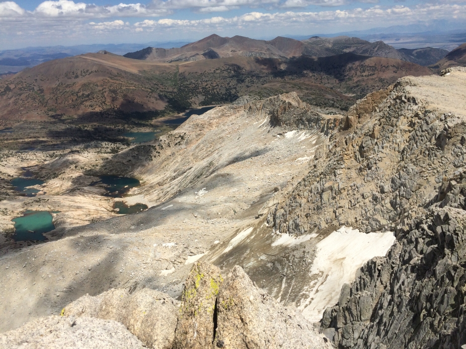
View of Conness Glacier from the summit:
The next day, K and I arise a littler earlier for Mount Warren in hopes of taking a dip in Tioga Lake at the end of the day.
The trailhead is easy to find on the north side of Tioga Road just a mile or two east of Ellery Lake. There is a sign, but there are no signs elsewhere to indicate it is coming up, so drive slowly. The parking lot for the trailhead is actually on the other side of the road. Several vans and SUVs were parked here overnight with no one to bother them.
The trail was very soggy this time of year. Eventually, we crossed the creek and left the trail.
The bushwhacking here is not too fun. Don’t bring a beginner here, they’ll never want to go hiking with you again. Going further away from the creek helps. Just make sure to hear the water on your right side so you don’t stray too much. Eventually we came out of the forest and found ourselves at the bottom of a hill of sand, talus, and incredibly beautiful, fragrant plants.
We went up the hill and eventually popped out on the other side to a nice meadow.
Originally I thought the easiest way would be to follow the creek closely until it ended, but that proved difficult, as it began to meander through a steep canyon near the area of the fragrant hill. Anyway, going over the hill was easy and beautiful. Before sending us off to this meadow, it flattened out to a welcoming young pine forest full of baby trees. It was really pleasant walking.
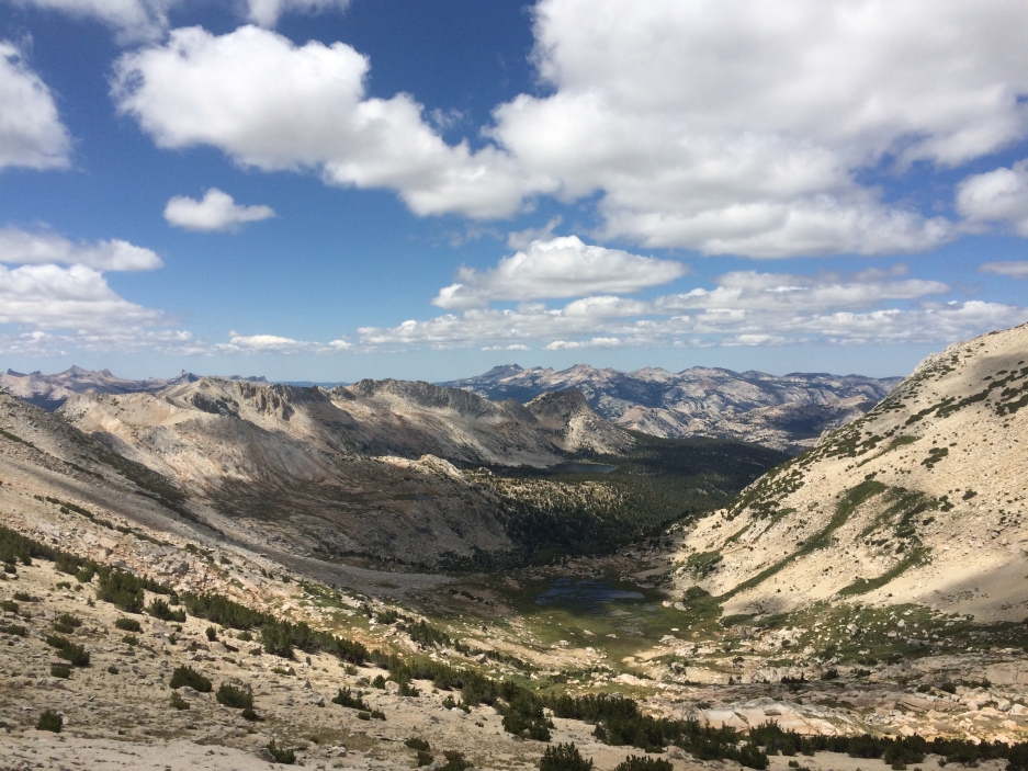
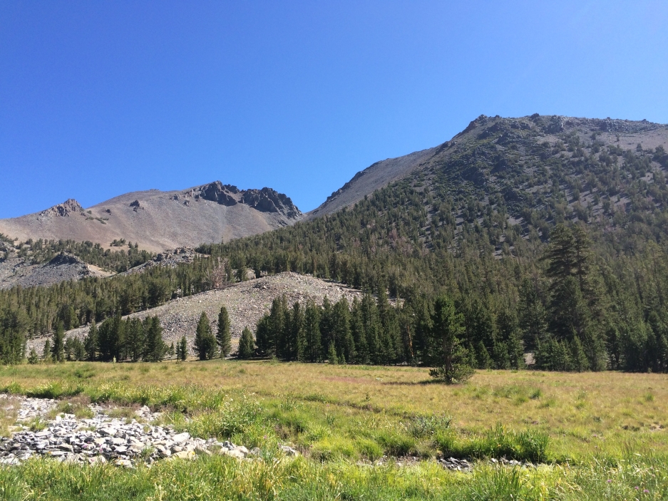
When we arrived at the meadow (pictured above) we could see the V-notch we were aiming for. A new friend we met on the trail went straight across from here over the little hill in the foreground and through the trees. K and I decided to continue through the flat valley, and stay at the edge of the meadow, still following the creek with the path of least resistance. Sometimes the now tiny creek was on the left. Sometimes on the right.
Soon, we were staring right at the V-notch. Pretty efficient navigating, I thought. Now all we had to do was hop over a million boulders and we’re there! A straight shot, with not a worry in the world.
First we needed to get through this grassy creek area (pictured above). Tricky walking actually, with all the mud, tall grass, the actual creek running through in places where you can’t see it. K preferred to walk on the sandy area near the right, where the trees were growing. I preferred the boulder-hopping on the left.
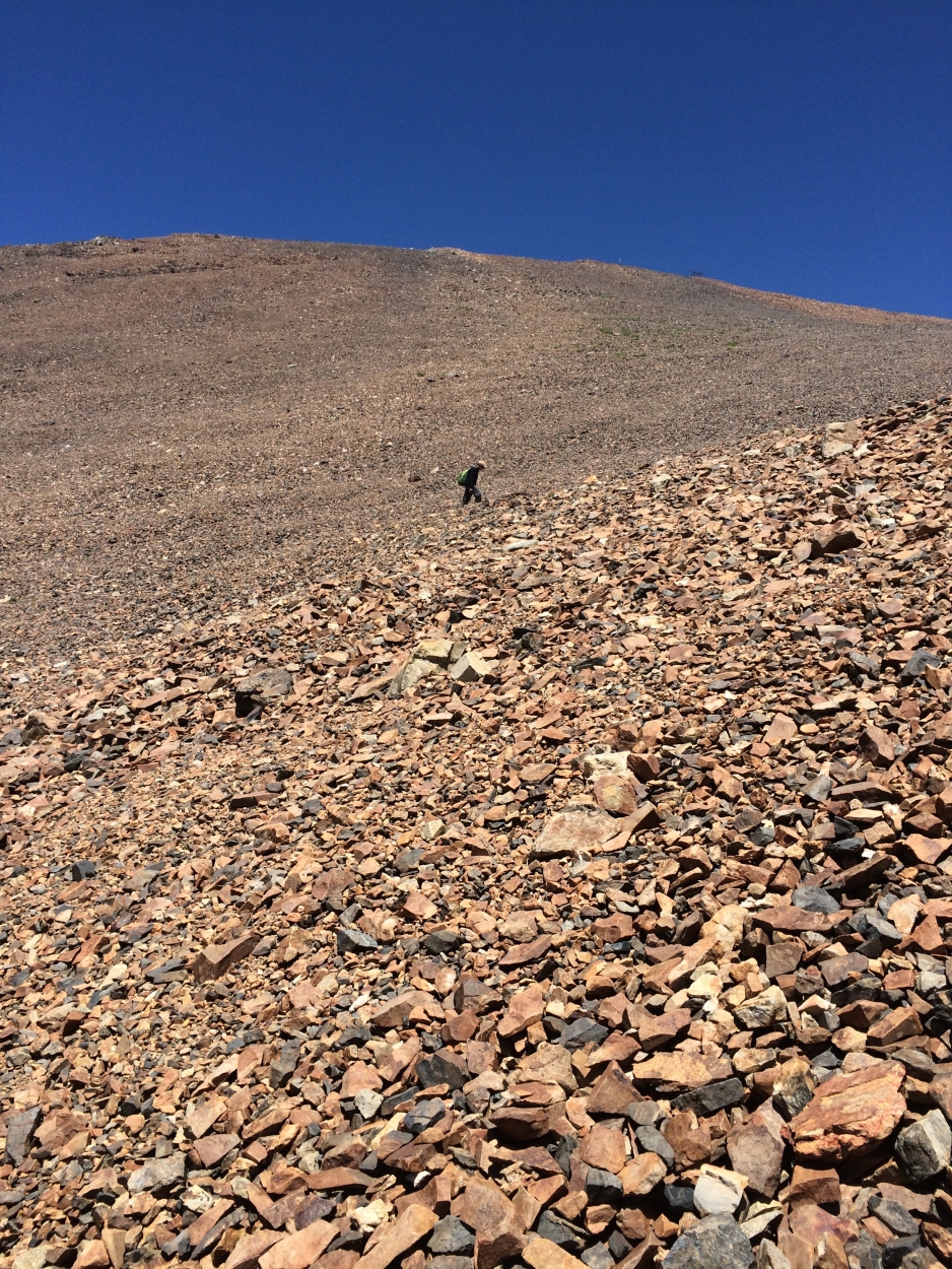
This was my view for a couple hours:
Finally, we made it to the top of the ridge and Mount Warren came into view. The wind started blasting in our faces and we just walked, unable to hear each other in conversation.
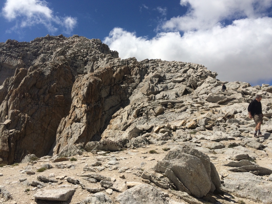
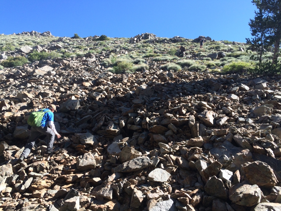
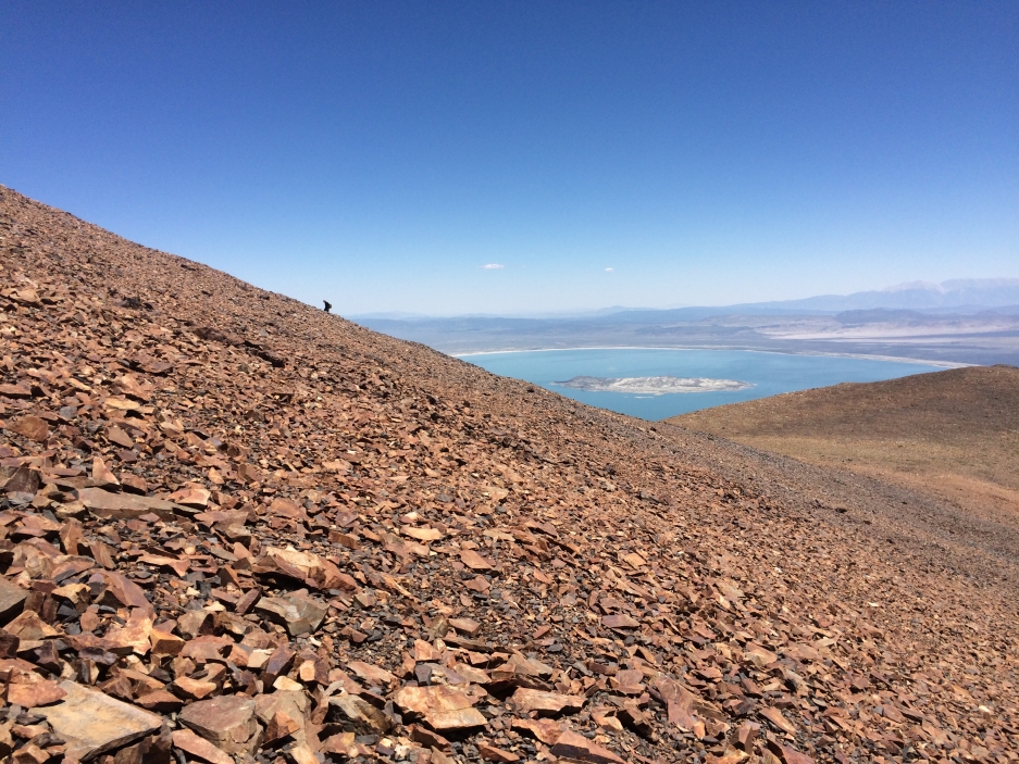
When we arrived at the bowl below Mount Warren we made a right and slogged up this big pile of gravel. The scrambling on the left (not pictured, sorry) looked more inviting (less boring) but K had read somewhere that it would get a bit too exciting so we happily opted for the more mindless option.
You can see a tiny figure walking up the side. K said there was a trail over there. I figured all the ways are the same on this mound of pebbles so I just went straight up from the mini-saddle above the bowl.
At the top, the wind took my hat and blew it a good ways down the mountain so I chased it down, then summited a second time, hooray.