Member descriptions, photos, and map locations of Cross Country Passes in the High Sierra. This forum is for information only - discussions should be kept in the appropriate categories. This forum is a component of the HST Map. We need your help to complete the database, so please contribute!
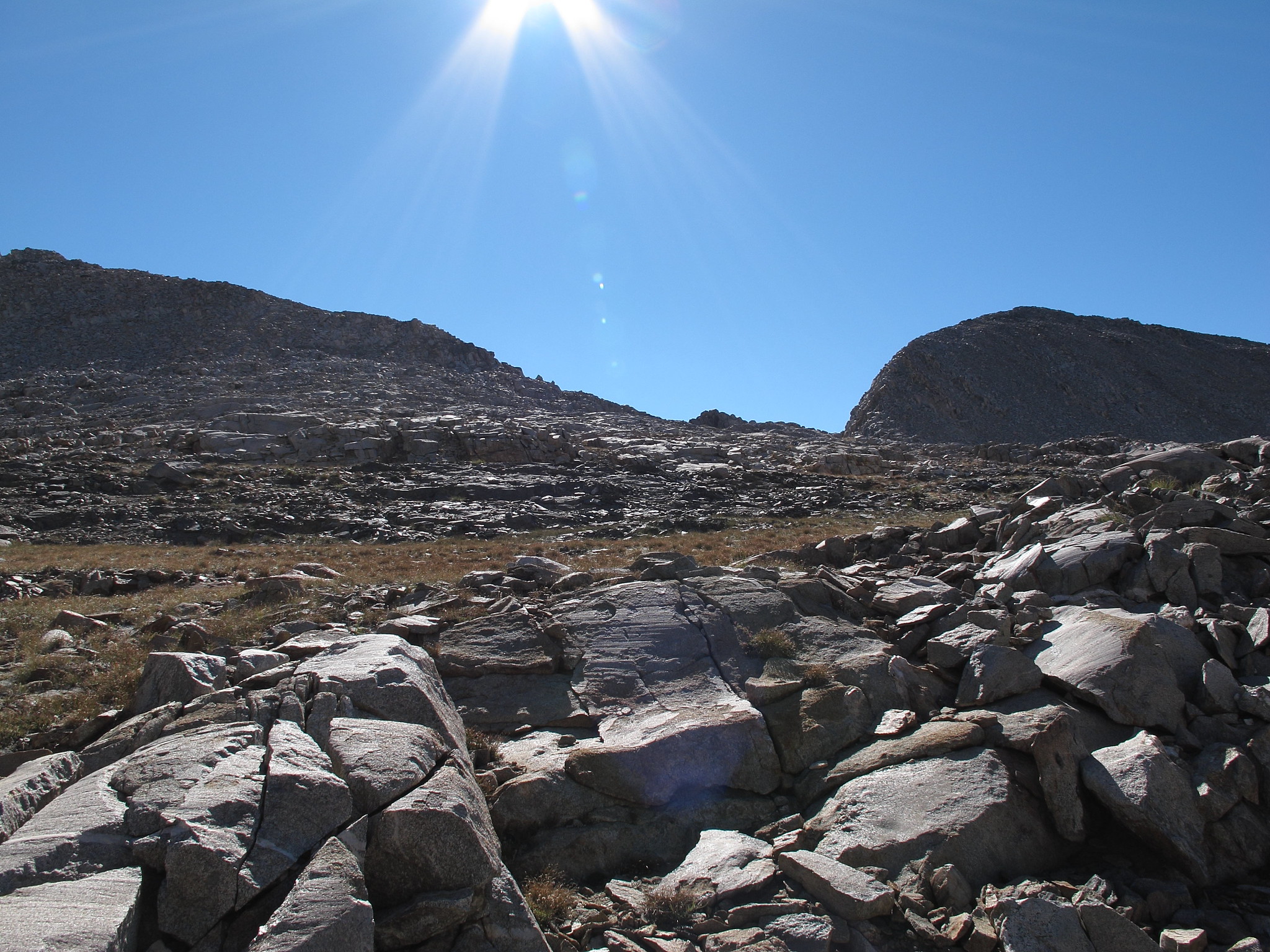
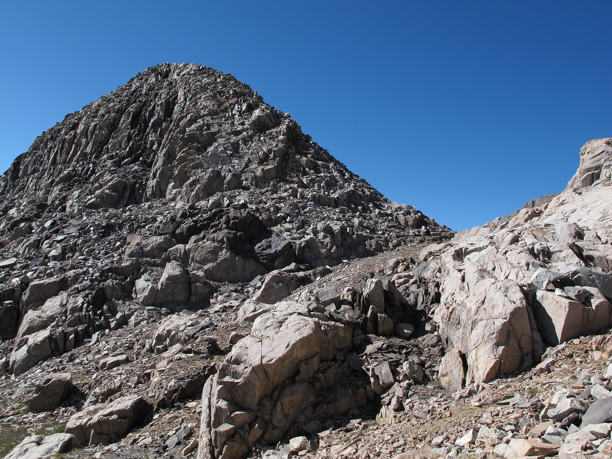
ROUTE DESCRIPTION: If coming from the West leave Lake 11,320 on it's North Eastern shore and angle up into a section of drainage that is a gentle grass slope. Continue through it until it's possible to easily leave it on your right. Hook hard right and continue up mixed easy terrain. As you get closer a large section of rock will break the pass into two sections. Either is fine to take but if your on your way to White Fork Pass or the upper White Fork Drainage I recommend taking the saddle on the left. Just as you drop down on your left is a small ramp of black rocks. Go up this and hook left past mixed talus until the terrain is easy going to a saddle from Peak 12,064.
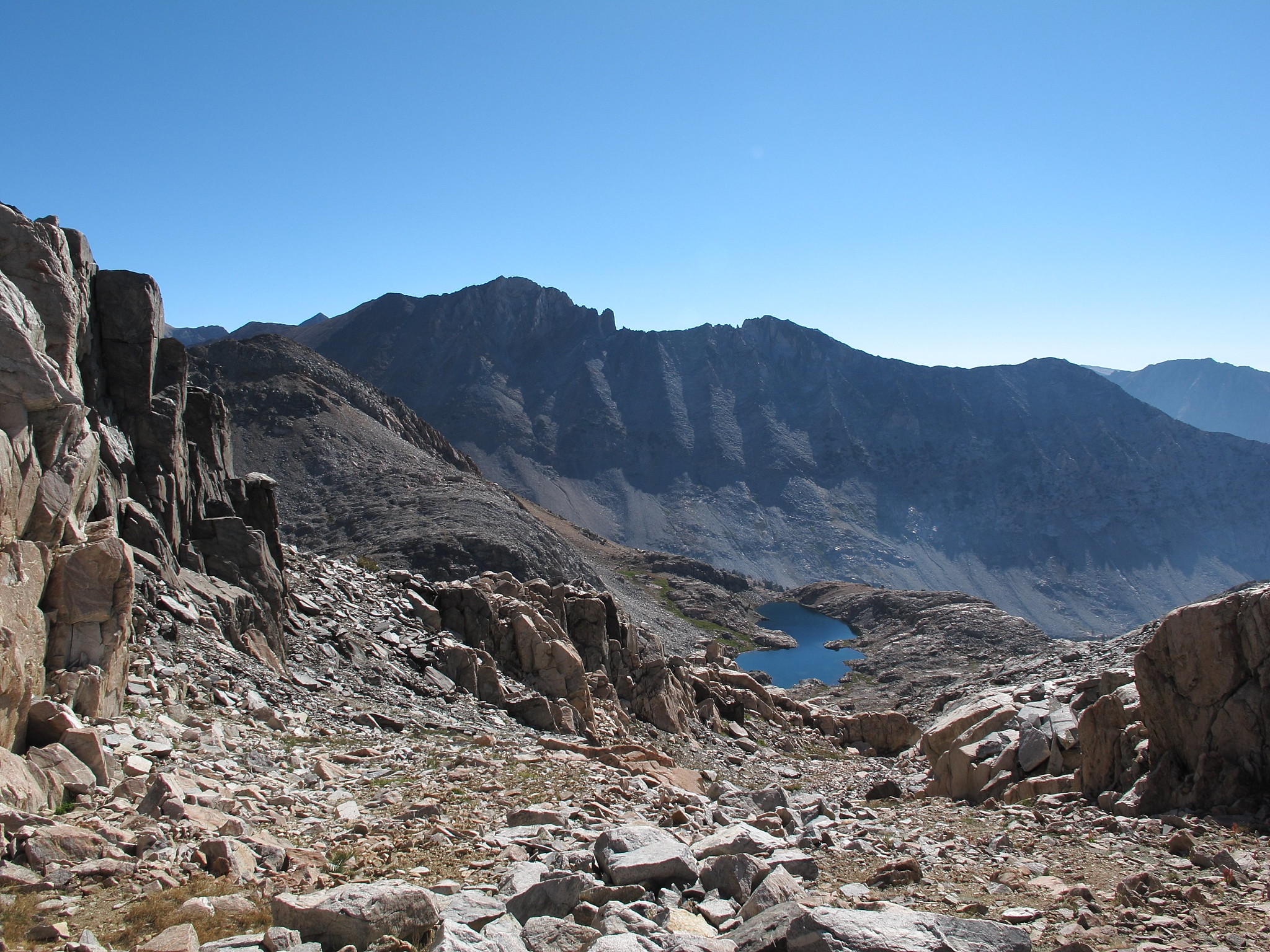
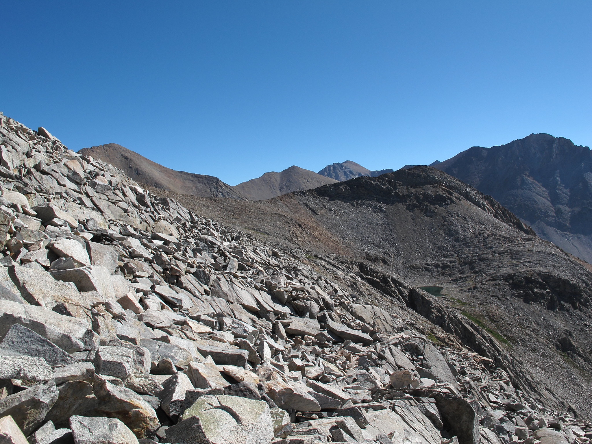
Rogue does a good job of describing White Fork Saddle. Here are two shots that add to it under different conditions.
They are from July 2019, a heavy snow year. Both are from the south side of pass/saddle.
Here is a shot from the south side ascent looking down into the canyon below. I had to cross several steep snow slopes. They were just steep enough in places to have some concern when the snow was hard in the morning. Softer afternoon snow would not have been an issue. I went around in one place climbing 100 feet or so.
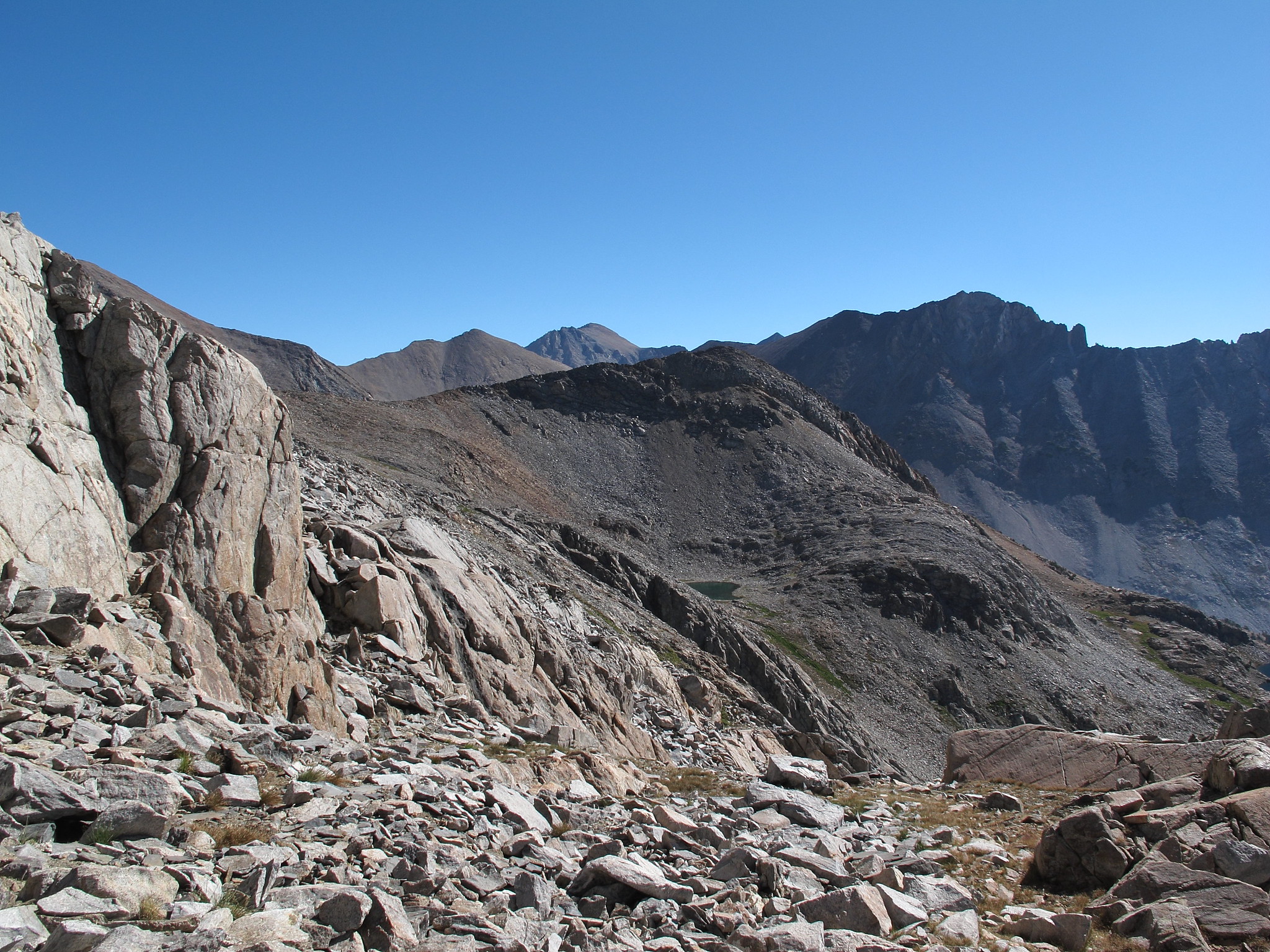
Looking north across one of the snow slopes to Mount Clarence King and Window Peak Lake.