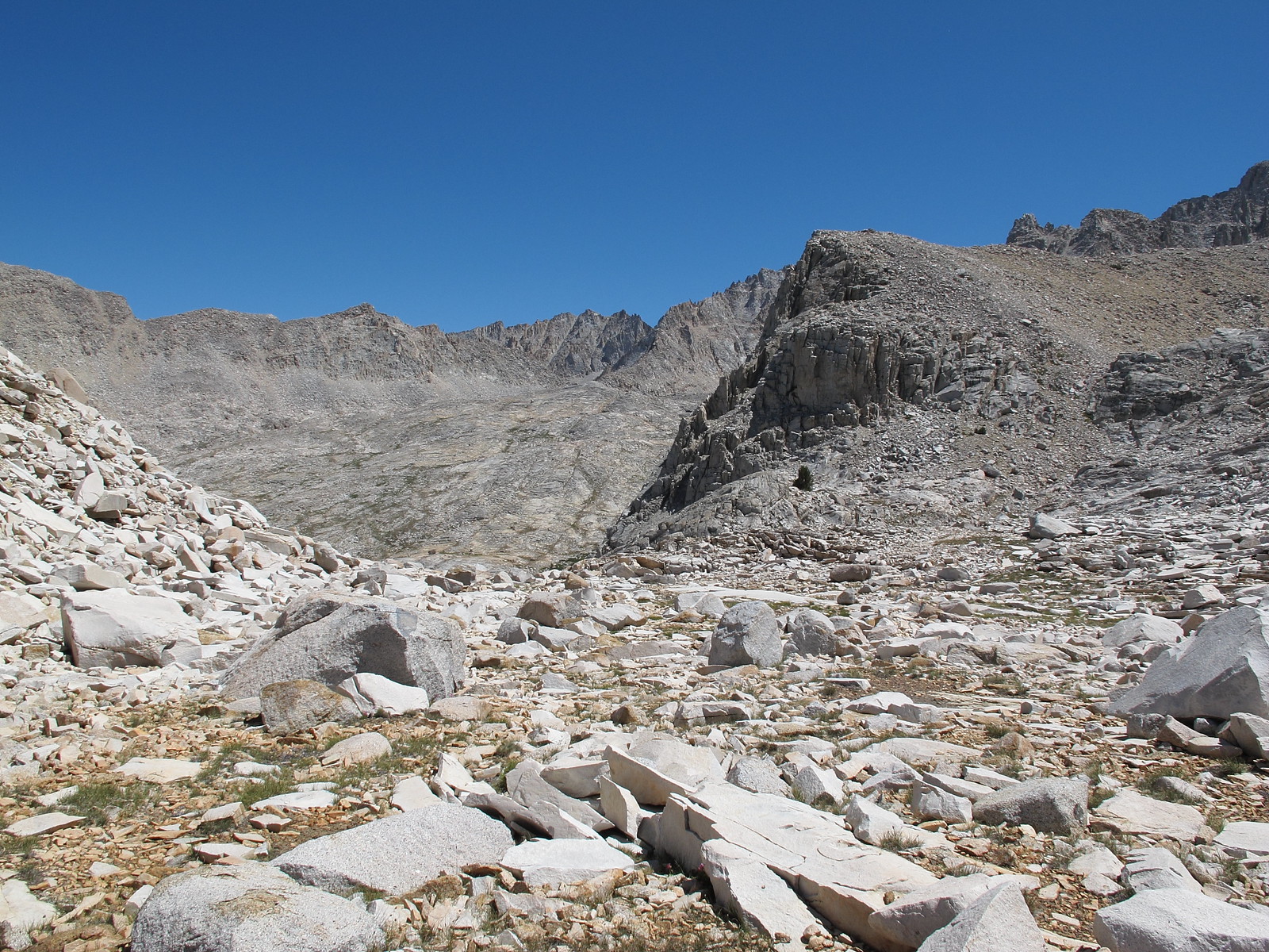
GENERAL OVERVIEW: This pass leads between the Table Creek drainage and Talus Lake
CLASS/DIFFICULTY: Class 2
LOCATION: Kings Canyon National Park East of Cloud Canyon along the Great Western Divide HST Map
ELEVATION: 11,500
USGS TOPO MAP (7.5'): Mt. Brewer
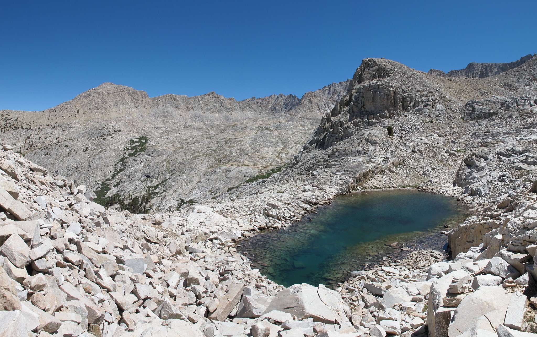
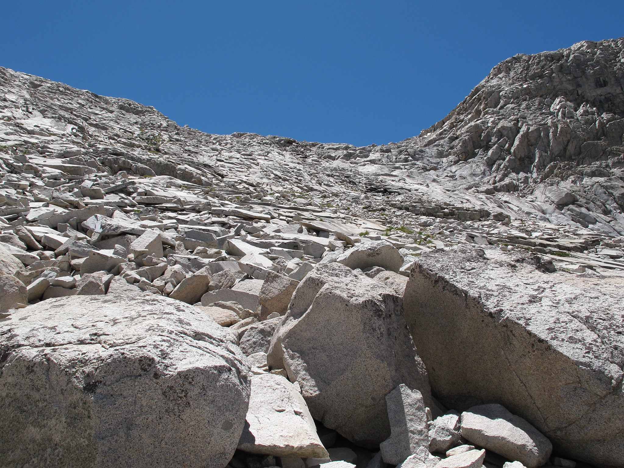
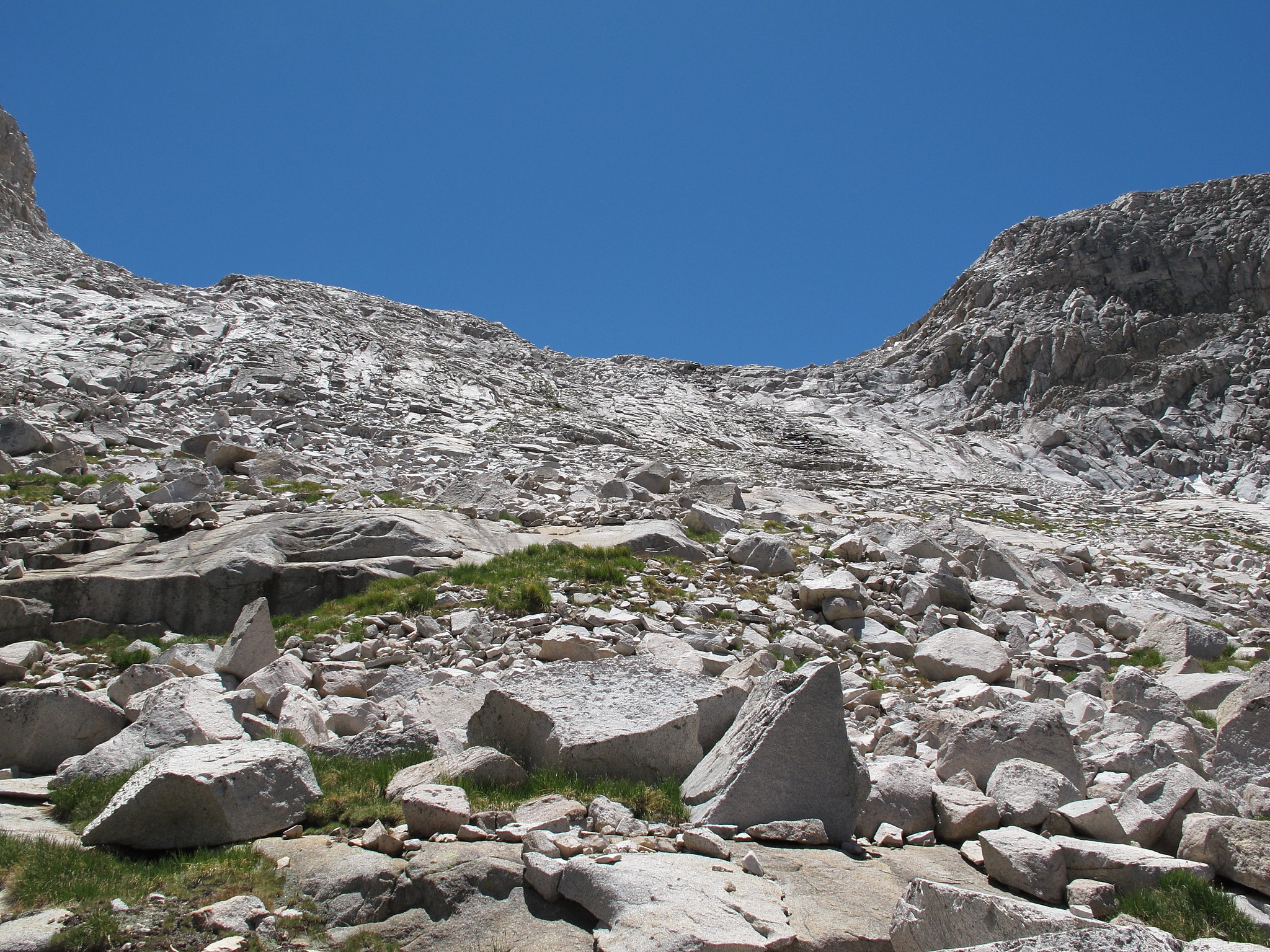
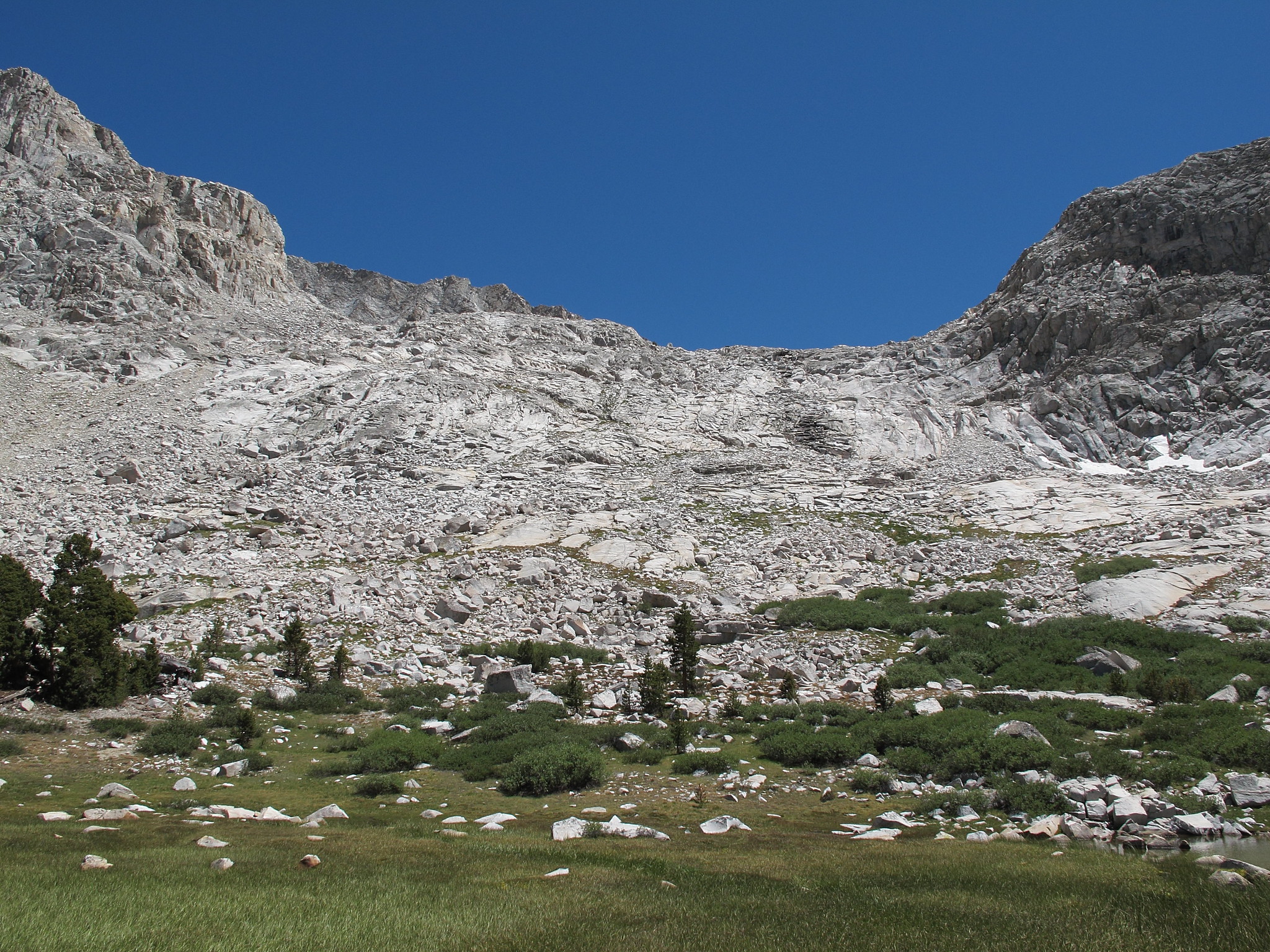
ROUTE DESCRIPTION: The Southern side of this pass only has one obstacle which is a small tarn lake. On it's Southern shore is a mix of small cliffs that is best navigated by hoping some large talus on the Western shore of the tarn. Although the Eastern shore has no talus hoping there is a small rock drop off that may be difficult to get around.
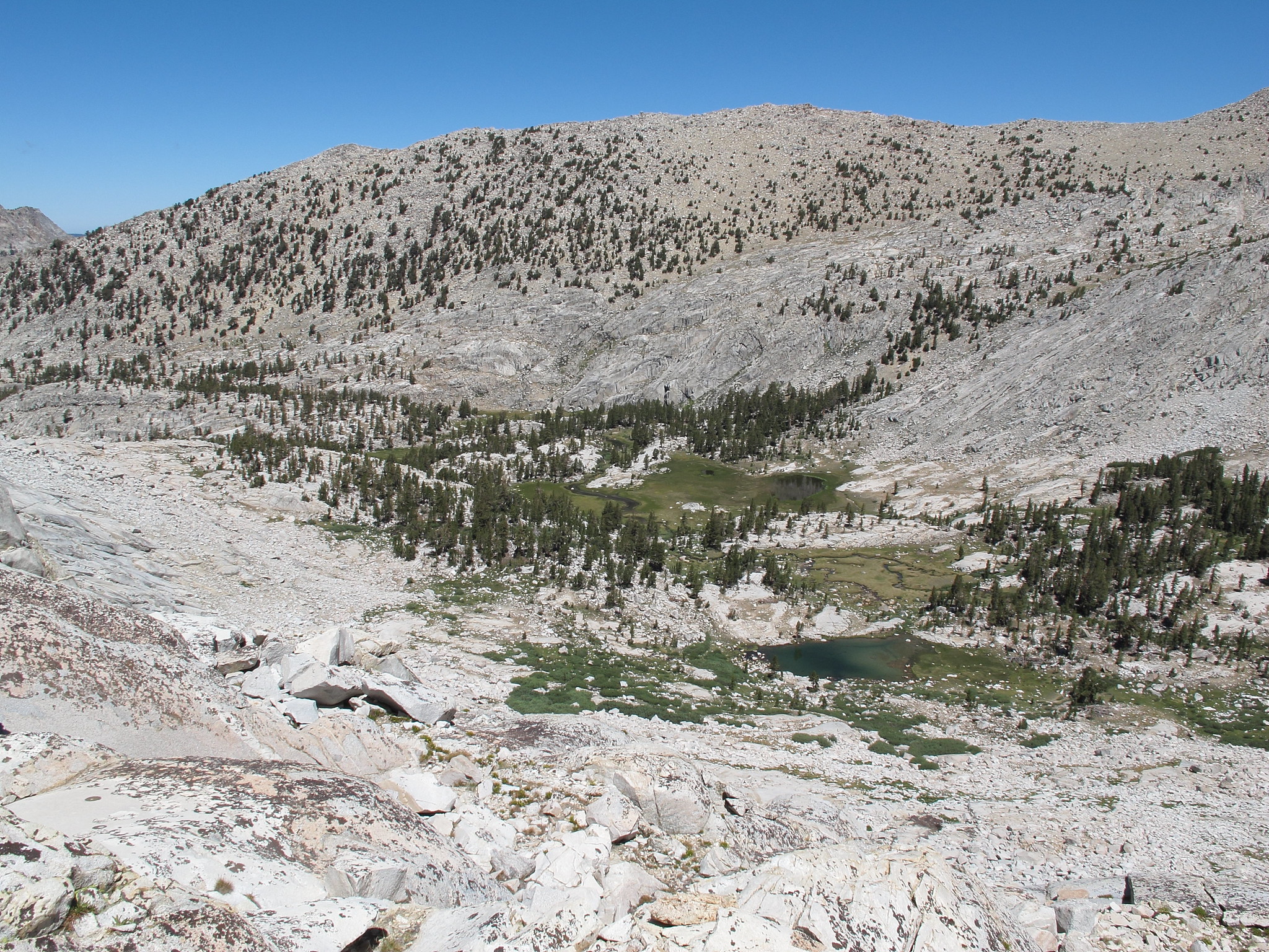
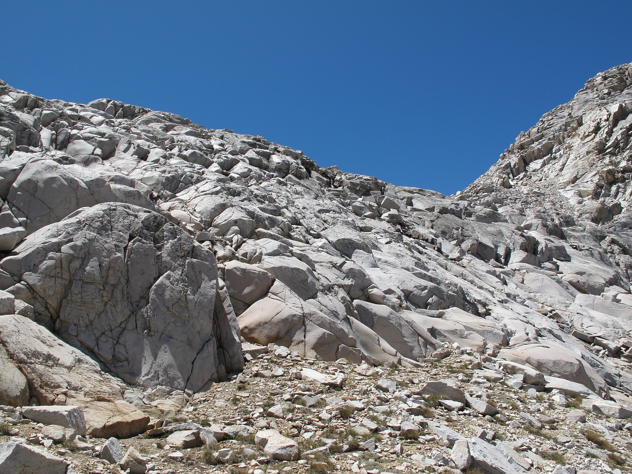
The Northern side is an intermixed granite face that requires allot of zigzagging and route finding. Due to the nature of the face no detailed description of the descent can be given.