Member descriptions, photos, and map locations of Cross Country Passes in the High Sierra. This forum is for information only - discussions should be kept in the appropriate categories. This forum is a component of the HST Map. We need your help to complete the database, so please contribute!
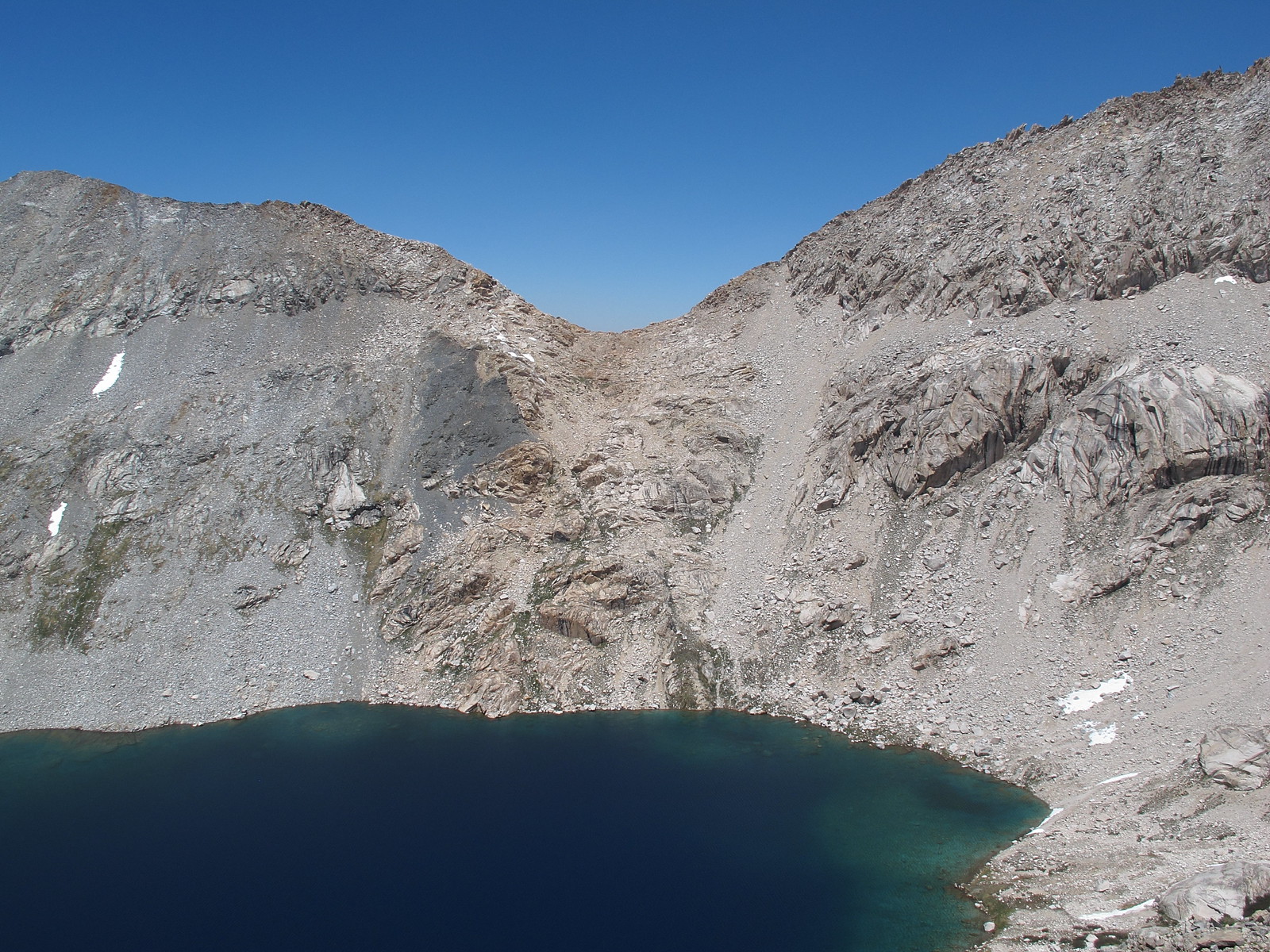
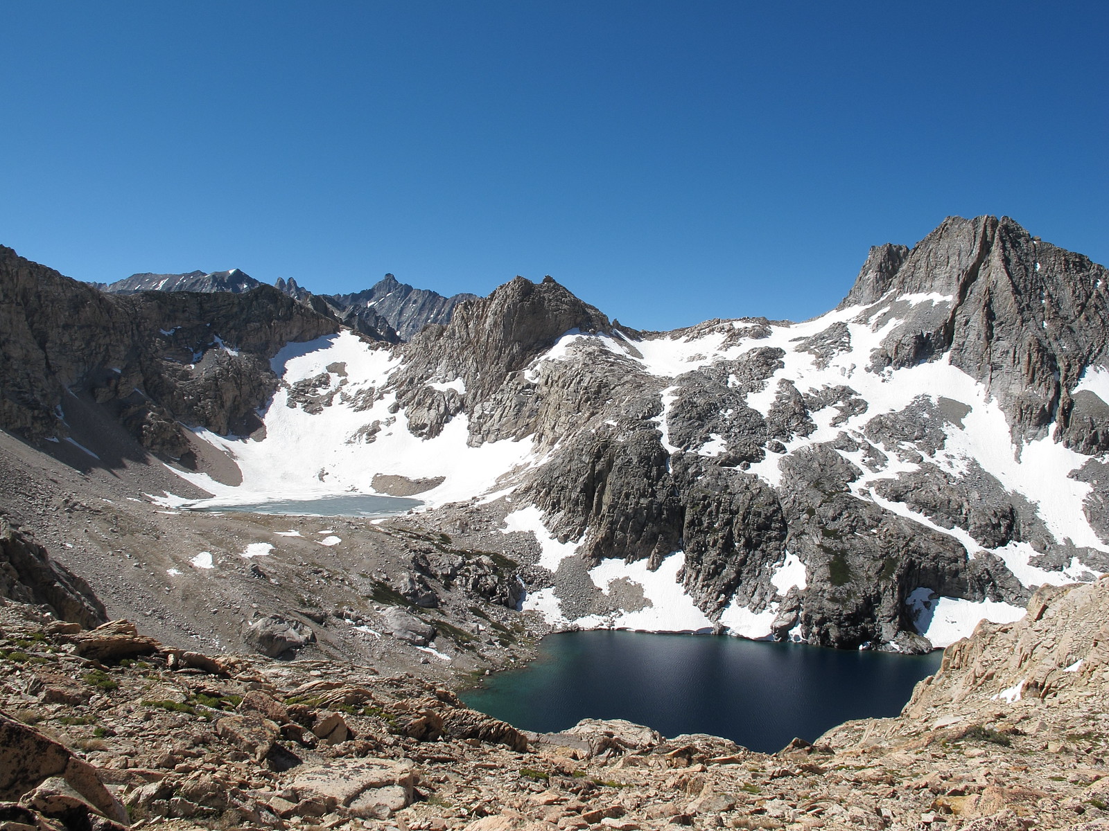
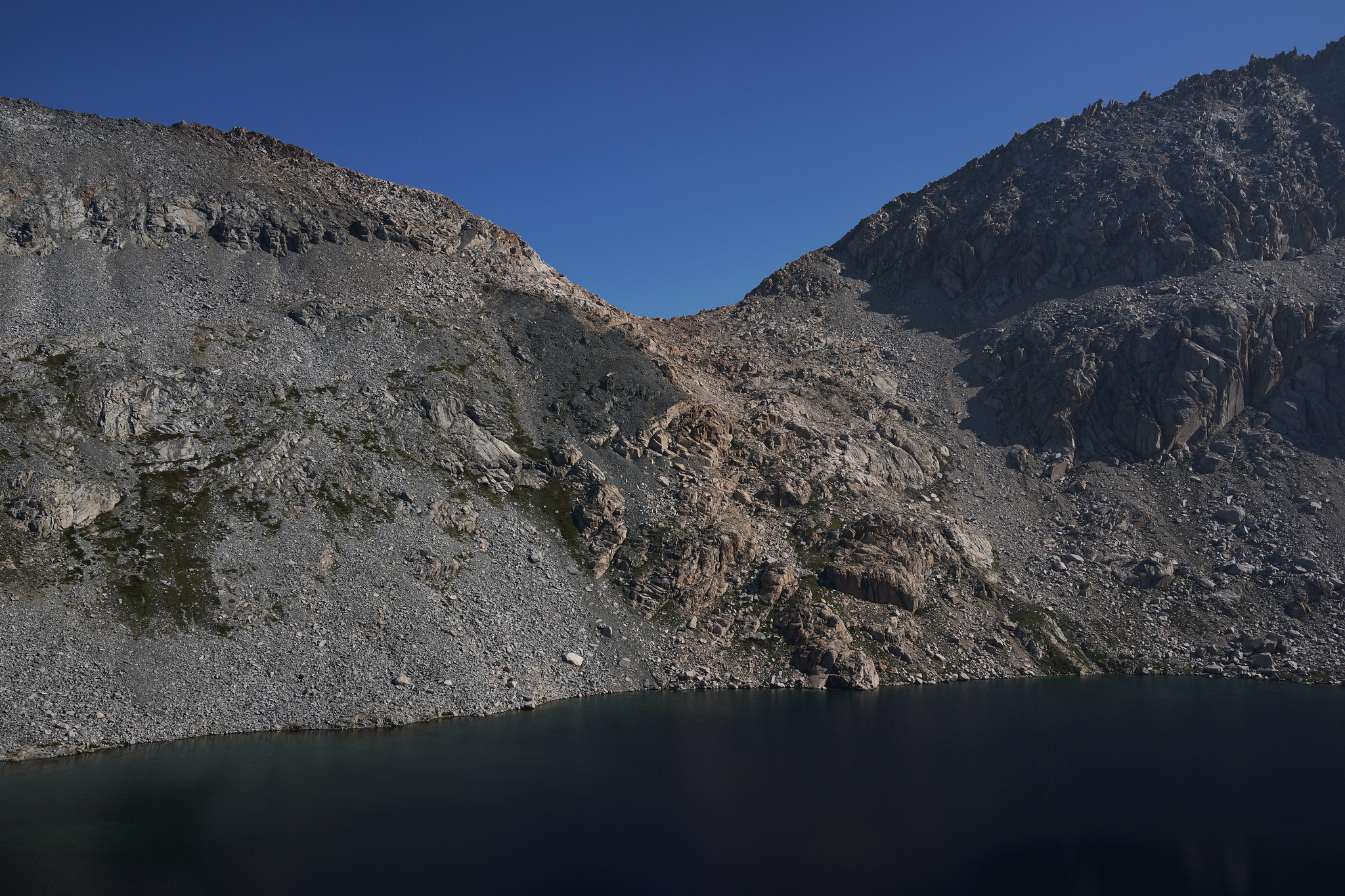
GENERAL OVERVIEW: This pass leads between the upper Lone Pine Creek Drainage and Lion Lake to Cloud Canyon
CLASS/DIFFICULTY: Class 2
LOCATION: Western ridge of Triple Divide Peak and the border line of Sequoia National Park and Kings Canyon National Park HST Map
ELEVATION: 11,630
USGS TOPO MAP (7.5'): Triple Divide Peak
ROUTE DESCRIPTION: The Southern side is a slope of medium sized glacier carved chutes that are filled with grass or small easy talus. Nothing difficult is encountered. You can either hike to the base of it and start up or angle up from Lion Lake as you go.
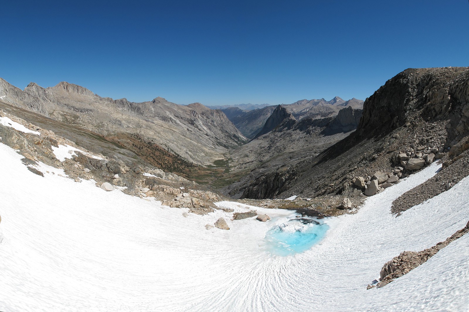
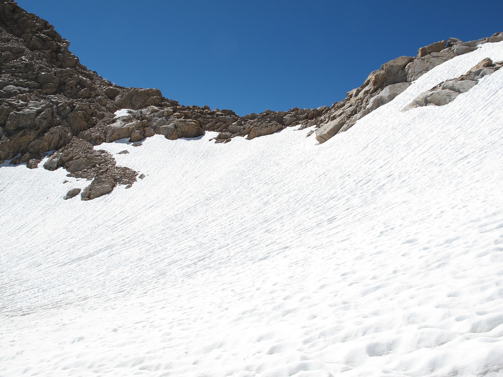
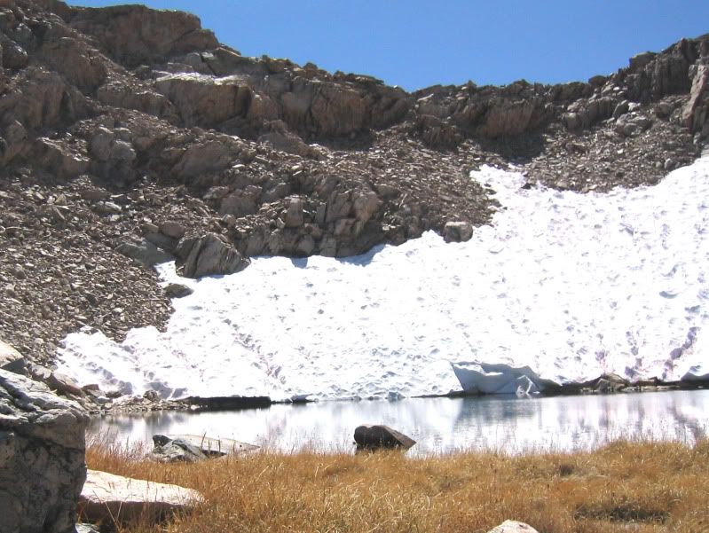
The Northern side was too snow covered for me to offer insight. However I needed an ice axe when I did not have one. The slope was steep and hard packed and I fell once forcing me to use my trekking poles for self arrest. I then was forced to use the poles as anchors stabbing them in and lowering myself down.
Sorry for poor quality photo. This is the north side of the pass late Sept 2006. The snowfield is quite persistent. You can scramble down rock on the left side of the photo. I recall lowering my pack a short distance in one place. By late season any remaining snow is REALLY hard!