Member descriptions, photos, and map locations of Cross Country Passes in the High Sierra. This forum is for information only - discussions should be kept in the appropriate categories. This forum is a component of the HST Map. We need your help to complete the database, so please contribute!
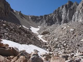
ROUTE DESCRIPTION: Follow the route up Vidette skirting the lakes to the end of
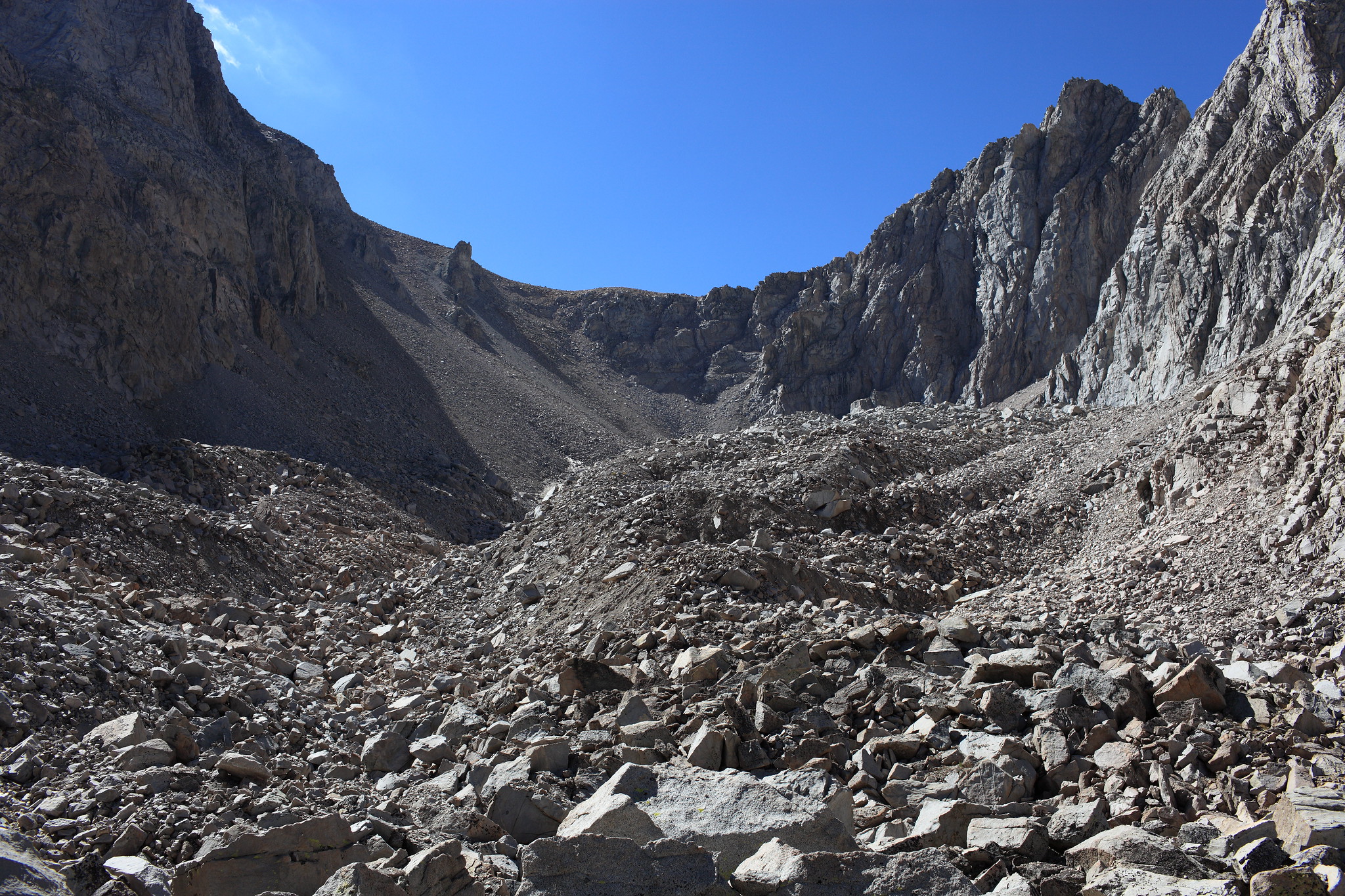
of the valley. Ascend scree to the top of the obvious saddle.
PHOTOS: Courtesy of Cgundersen
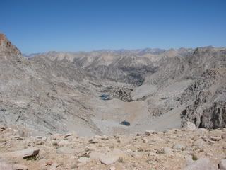
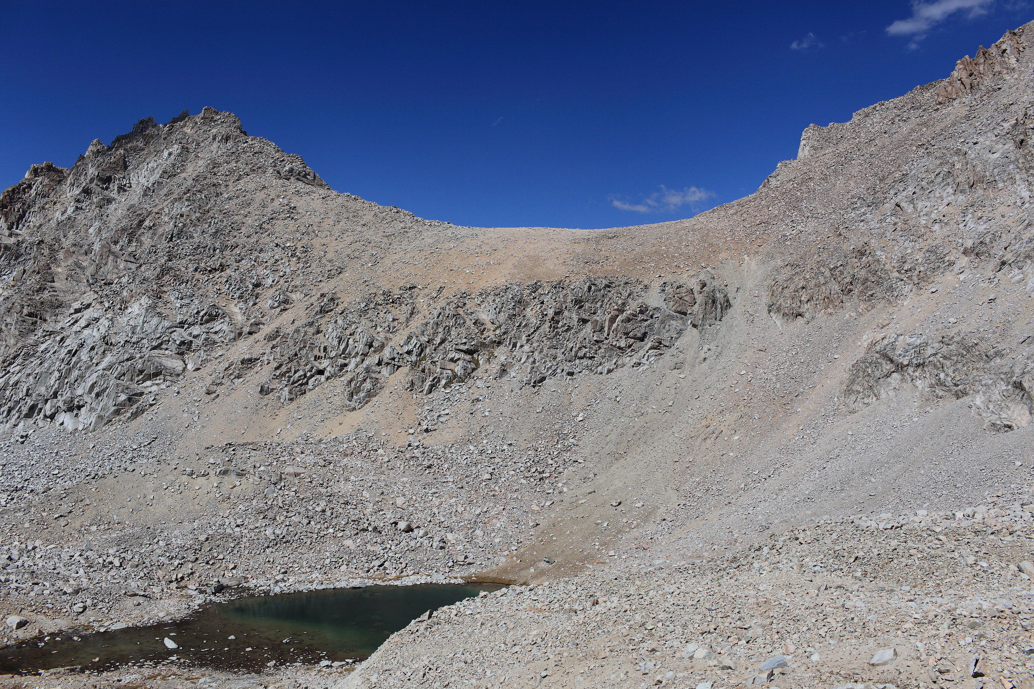
View south from Deerhorn Saddle
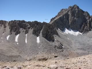
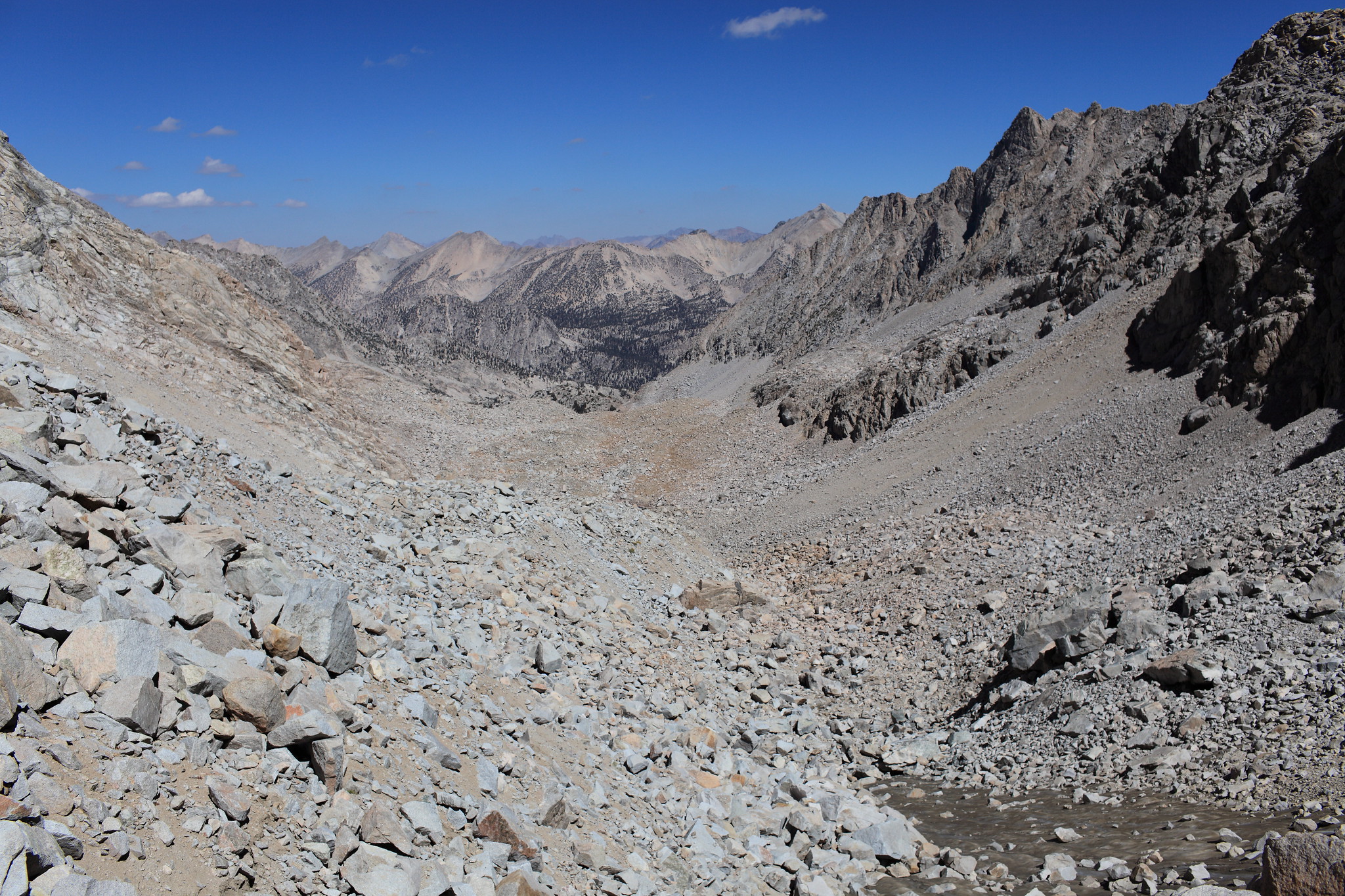
View north from Dearhorn Saddle
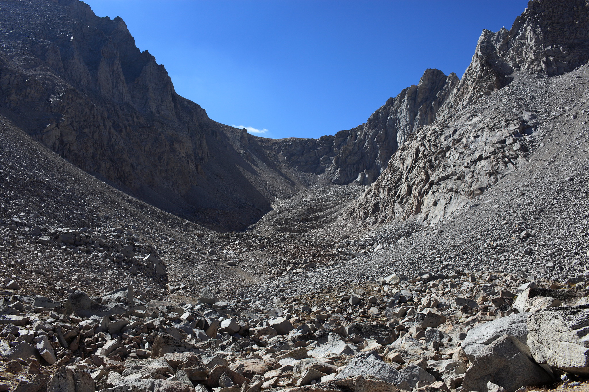
Heading up towards Dearhorn Saddle from the north
Professional Sierra Landscape Photographer
I don't give out specific route information, my belief is that it takes away from the whole adventure spirit of a trip, if you need every inch planned out, you'll have to get that from someone else.
Have a safer backcountry experience by using the HST ReConn Form 2.0, named after Larry Conn, a HST member:http://reconn.org
If crossing North to South there is a mixed cliff face below. Once you begin your descent hook left in order to pick up an open slope. I went straight down and had to pick my way down a nasty, steep, loose chute.
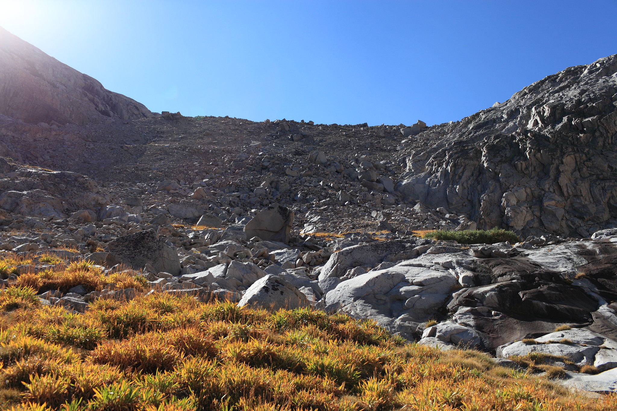
I'll add a couple more images from a June trip to illustrate how this looks in a relatively low-snow year. But, I'll confirm Rogue's observation that this route is no less prickly than when he did it: lots of loose rock/gravel, but the view from the top is incredible!