Class/Difficulty: 2
Location: Clinch Pass sits on the ridgeline of the Ritter range South and a bit West of Rodgers Lakes. See the HST Map for the location:
Elevation: ~11,500 ft.
USGS Topo Map: Mt. Ritter 7.5 minute
HST Map: HST Map
Route Description: I have only traversed this ridge from the Rodgers/Davis Lakes side, and it is a fairly straightforward climb to the ridgeline with patches of talus, scree and gravel, but nothing out of the ordinary. However, the descent into the North Fork basin is similar in many respects to Rogue’s description of the descent of nearby Rodgers Pass. Much of the footing is very loose, and one must be particularly cautious about not triggering large rockslides. My second traverse of this ridge came with exceedingly high winds at the ridgeline and consequently, I failed to descend the less-steep chute to the southeast (see photos). However, one can make one’s way down at least three of the available chutes, but as the photos will show, the slightly higher southeastern option is preferable, because it is somewhat less steep. The reward for patience in descending this route is the almost completely undisturbed upper reaches of the North Fork drainage. One sees minimal signs of human presence and the lakes, meadows and peaks are magical in every direction. Happy trails! Cameron
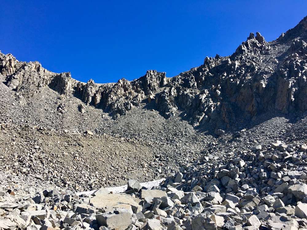
- View of Clinch from The Rodgers Lakes side
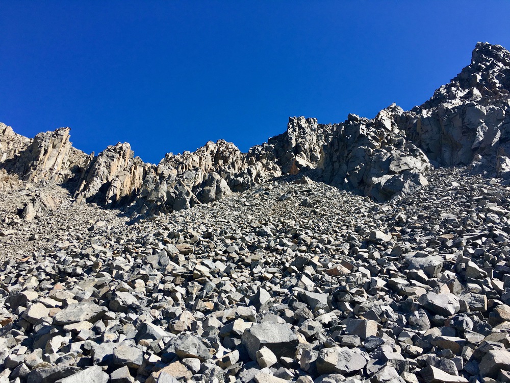
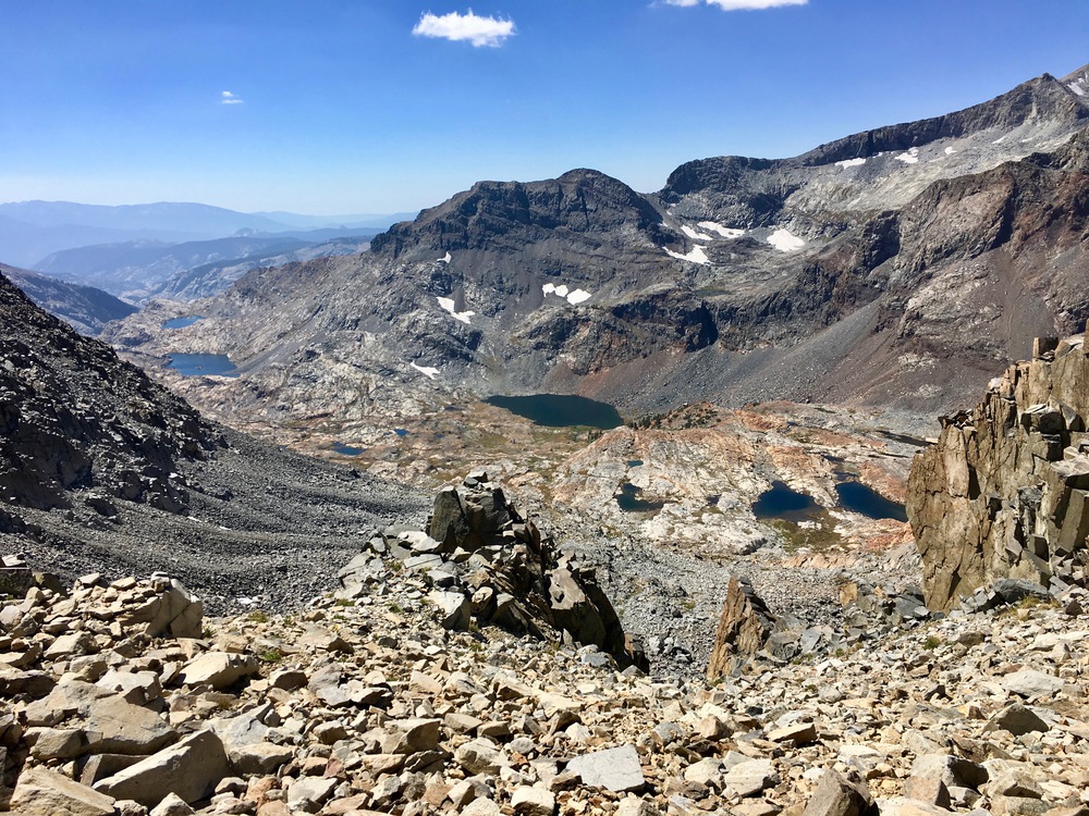
- Top of Clinch looking into North Fork basin
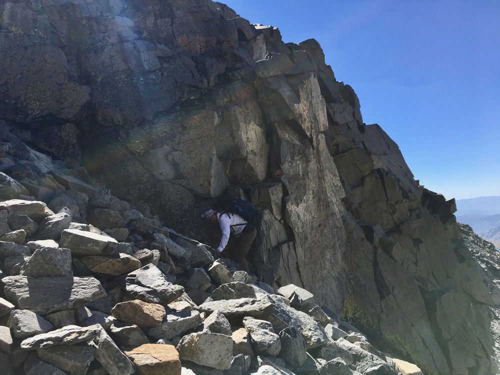
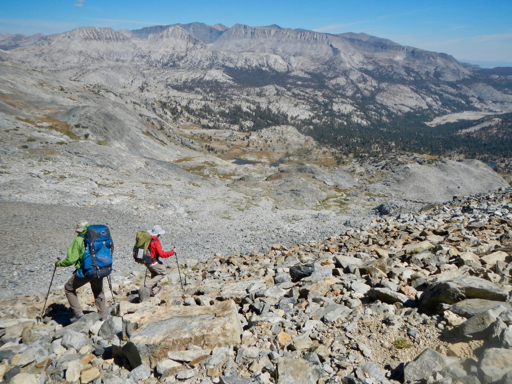
- Halfway down the North Fork side
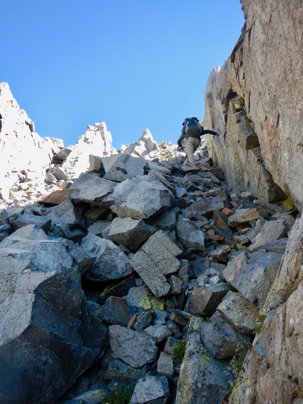
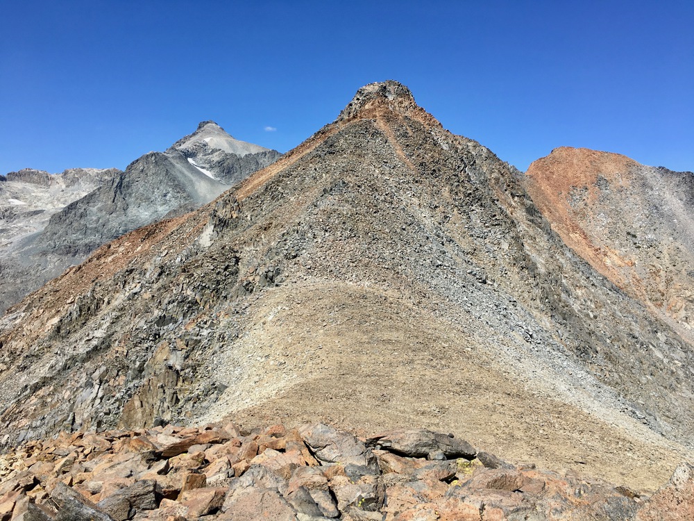
- Preferred chute is to the right of the central abutment
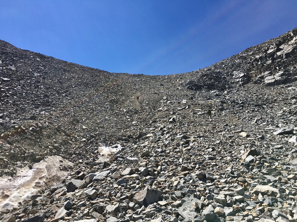
- The myriad (less favorable) chutes of Clinch pass
- The route down from the upper right was preferable