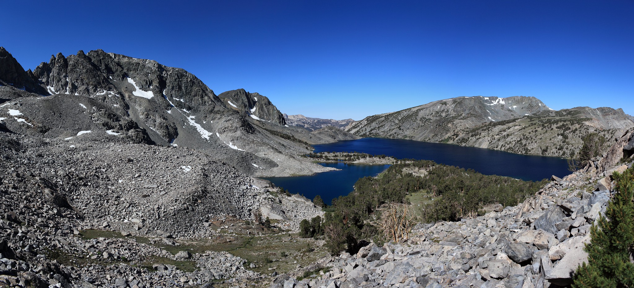
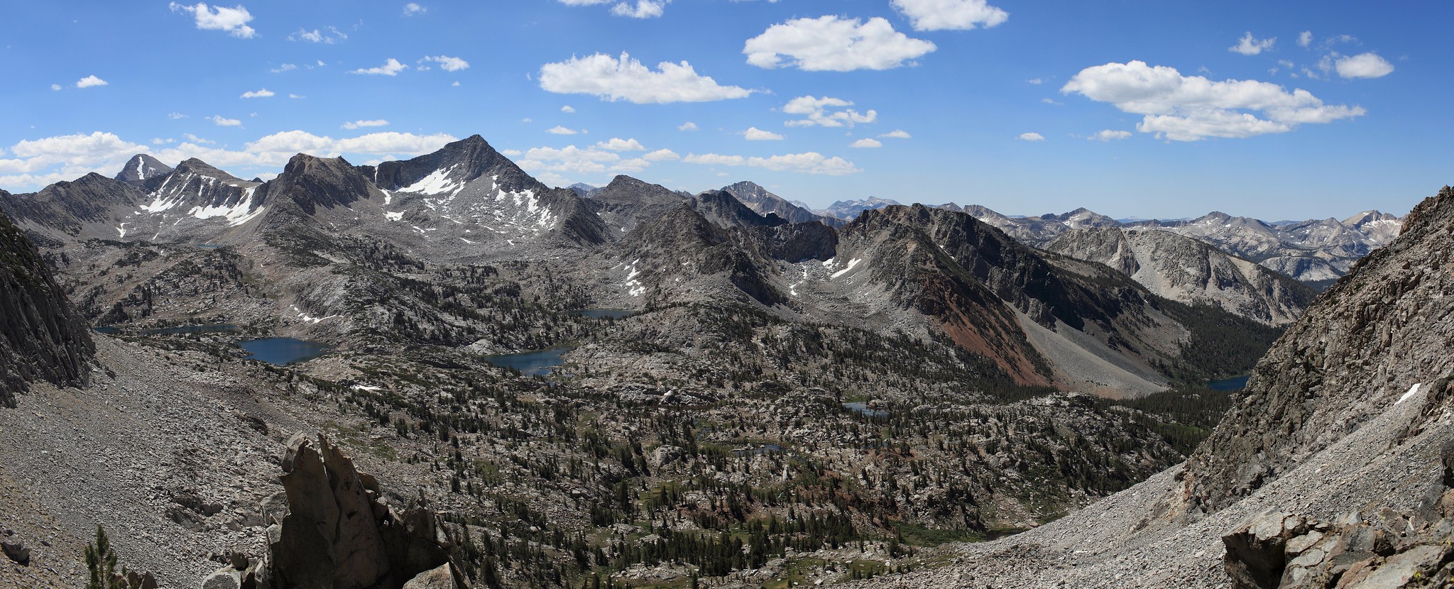
GENERAL OVERVIEW: This pass crosses between Duck & Pika Lakes and the small basin of Purple Creek
CLASS/DIFFICULTY: tedious and difficult class 2
LOCATION: Sierra National Forest / John Muir Wilderness. HST Map
ELEVATION: 11,580
USGS TOPO MAP (7.5'): Blood Mountain
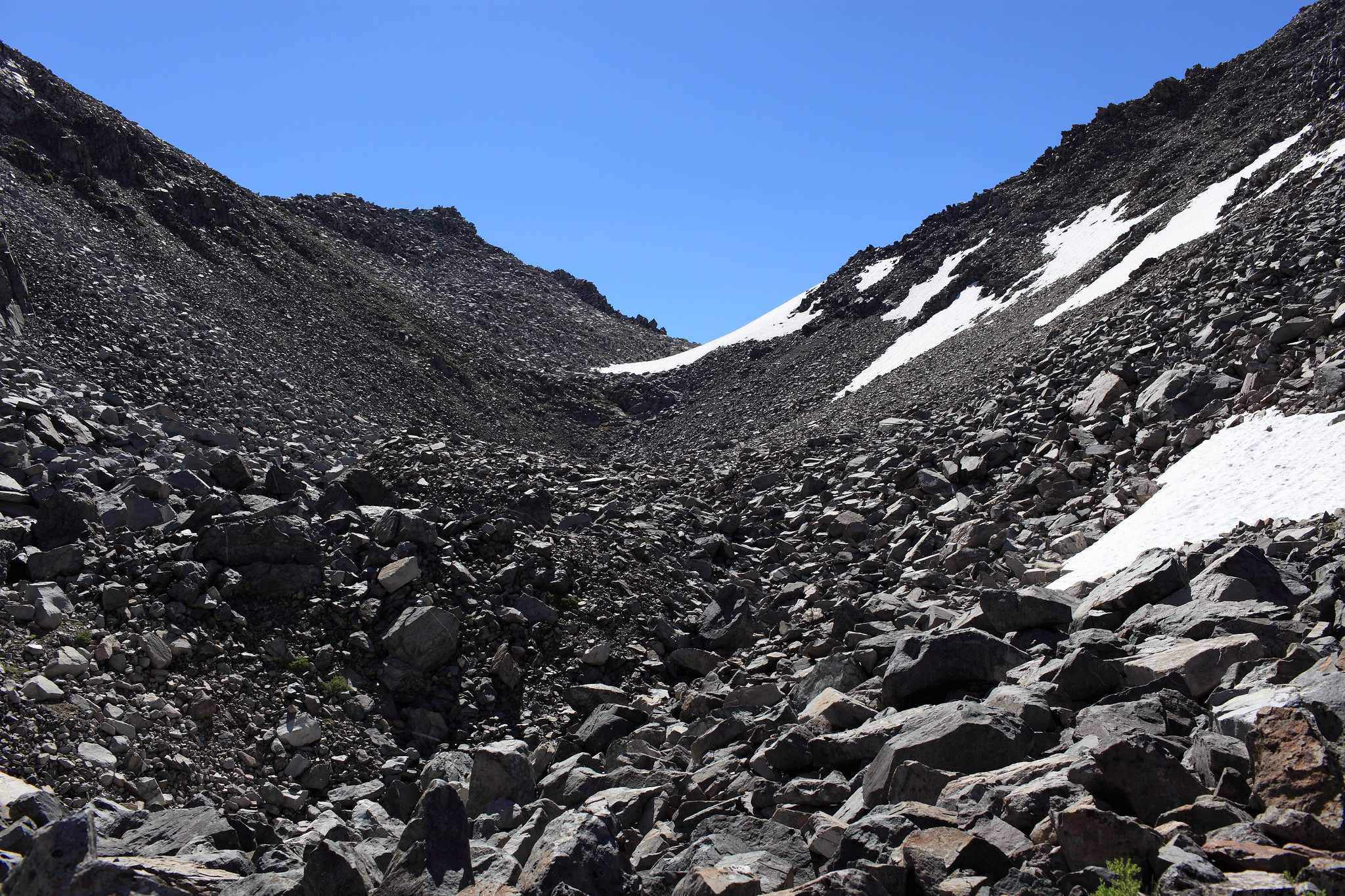
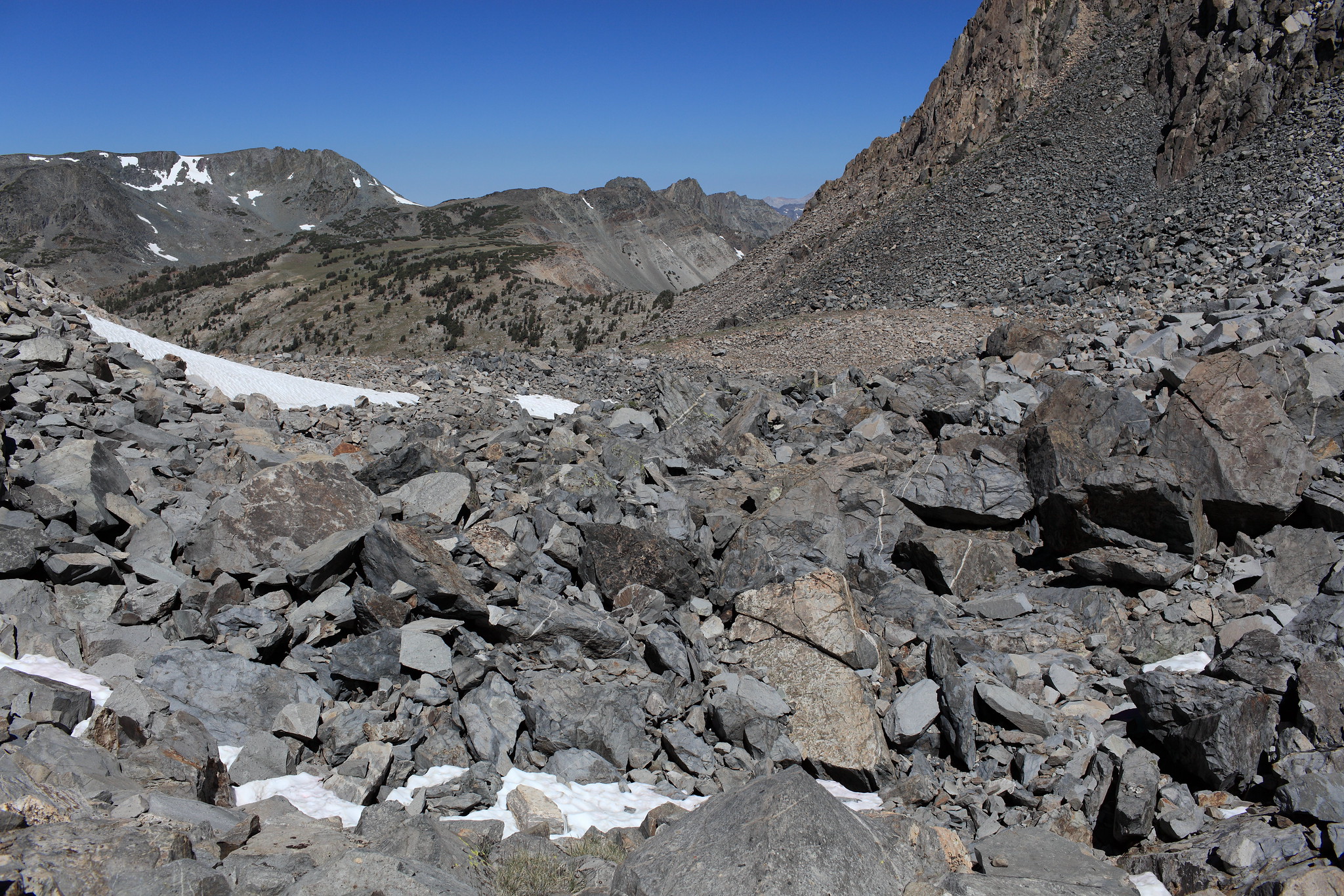
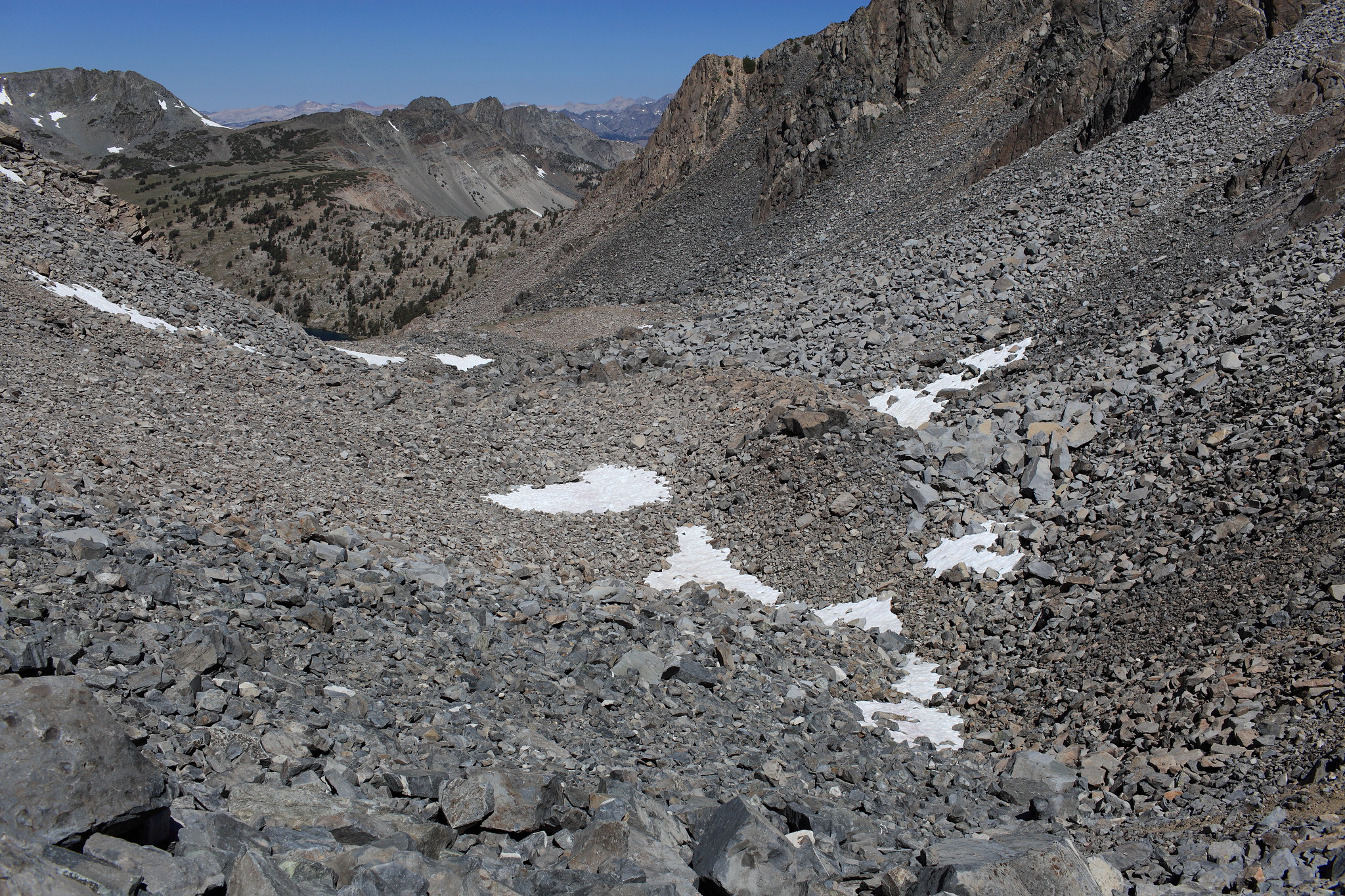
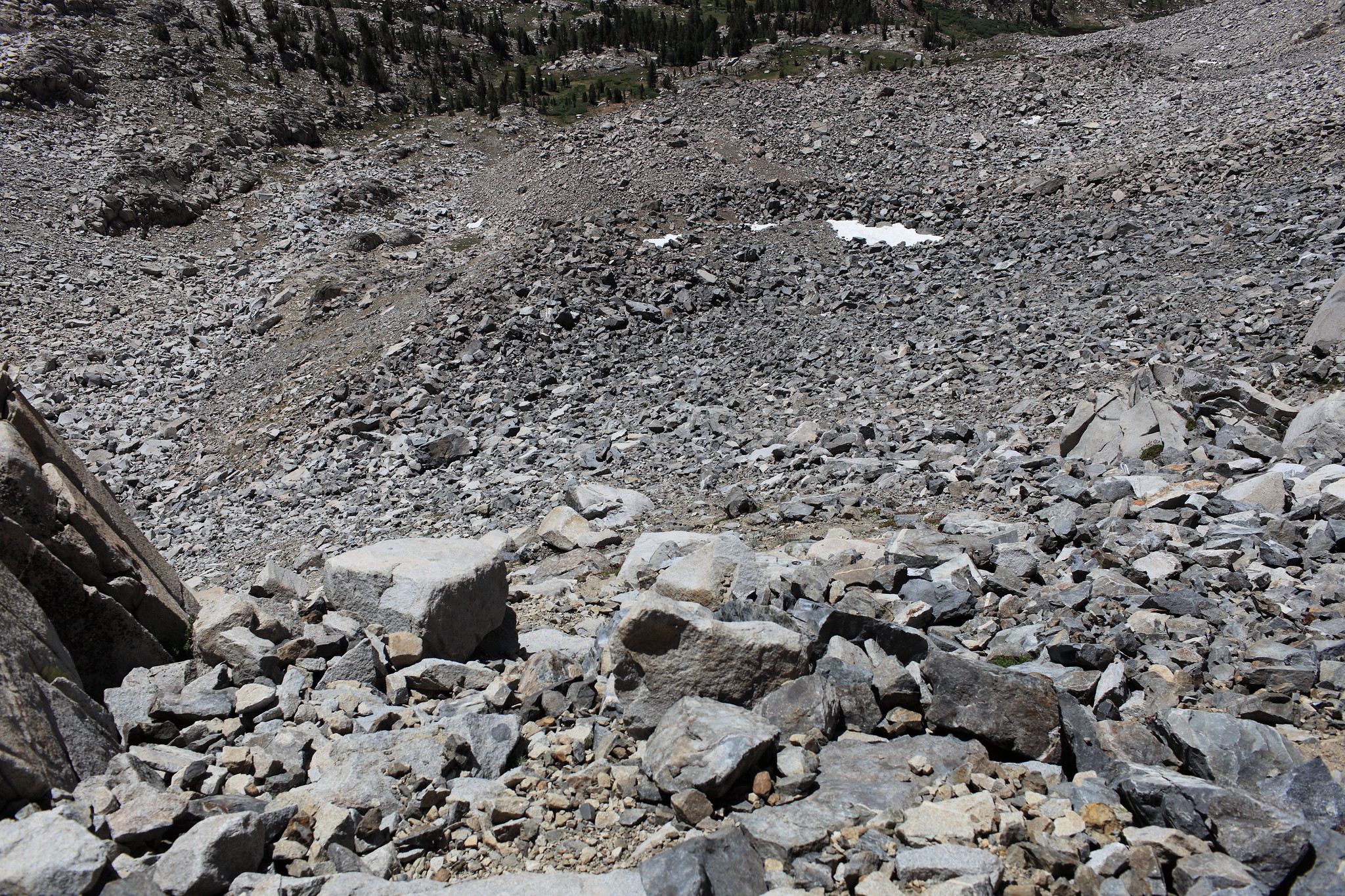
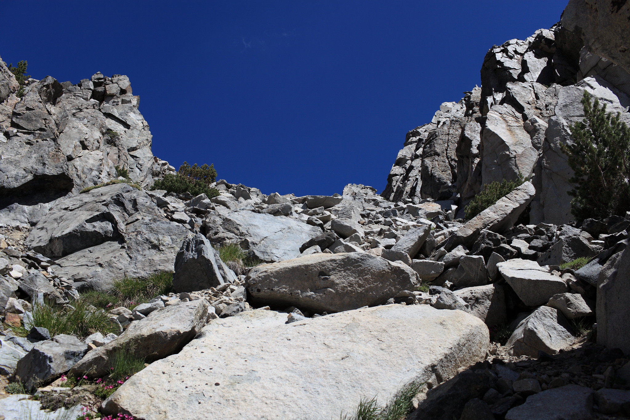
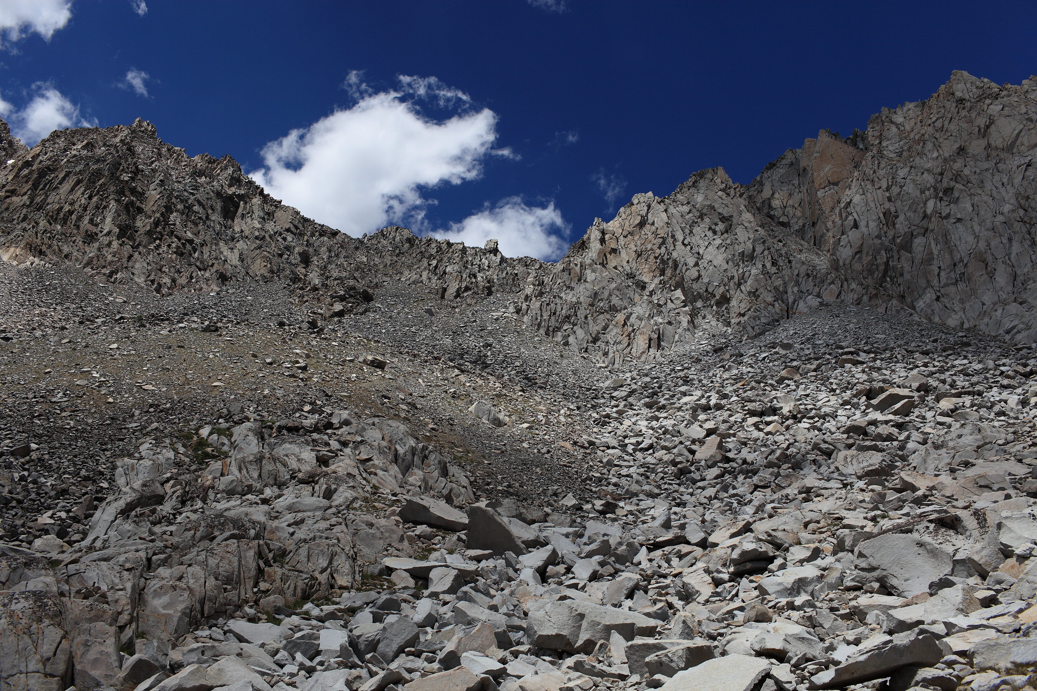
ROUTE DESCRIPTION: Leaving Pika Lake you'll begin the ascent on it's North shore at a gentle climb through sparse forest. Slowly the terrain will become more talus covered until your forced to talus hop all the way to the top of the pass on tedious and loose rock. At the top immediately very narrow and quite steep sections of terrain have to be taken. Some of it border lines becoming class 3. From here it's a long extremely tedious and loose scramble to the bottom. When enough distance is put between you and the pass you are left with the thought of "I came down that!?".
Historical Note If you stay sharp at the base of the South side of the pass there is a small cairn with a geological marker dating if I remember correctly 1924