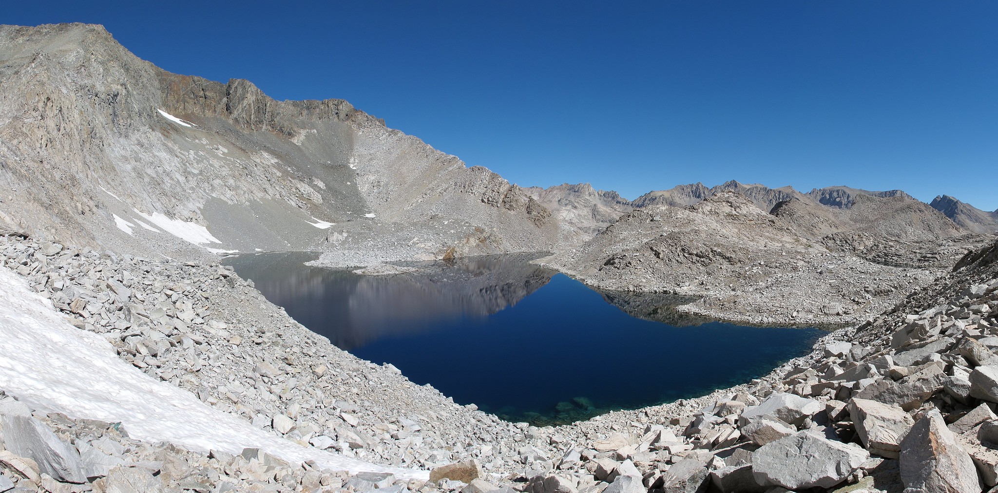
GENERAL OVERVIEW: This pass leads from Lake 11,654 which is to the Southwest of Hester Lake into the drainage basin above Ladder Lake and to the North of it.
CLASS/DIFFICULTY: Class 2
LOCATION: Kings Canyon National Park South of Lake 11,654. HST Map
ELEVATION: 11,800
USGS TOPO MAP (7.5'): Mt. Goddard
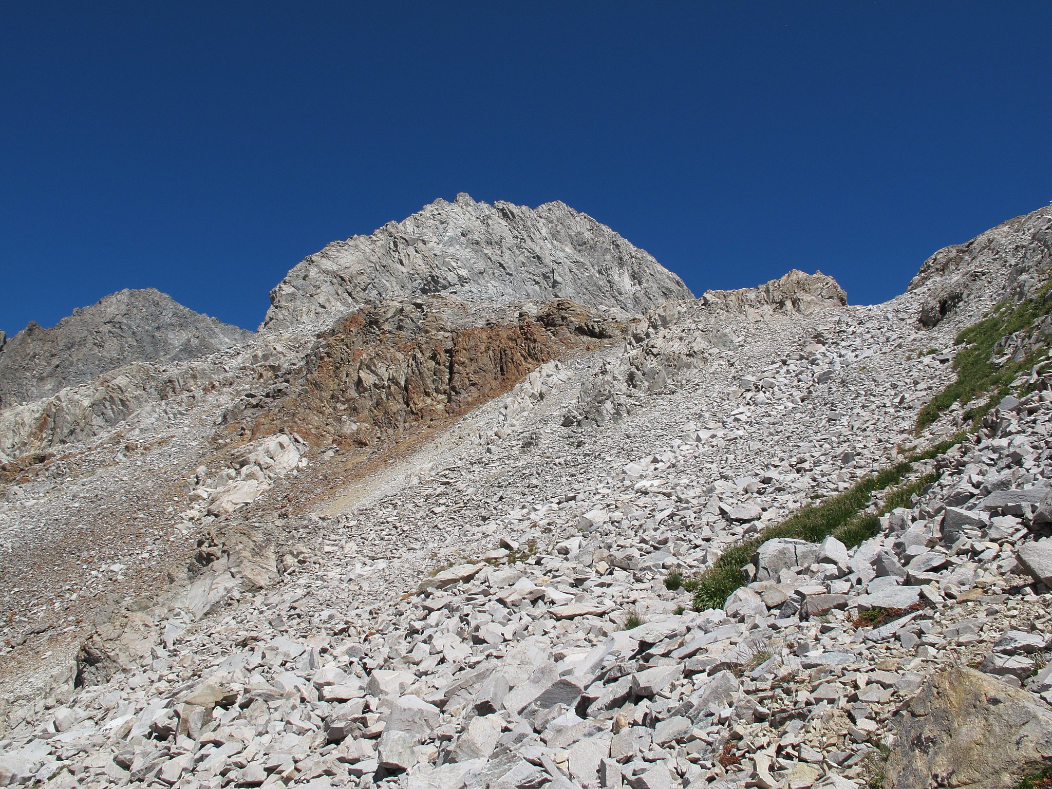
ROUTE DESCRIPTION: The North Side of this pass is a couple hundred foot Class 2 slope that rises directly above lake 11,654. It has lots of boulders which are fairly stable but since it's the Black Divide caution should be used always.
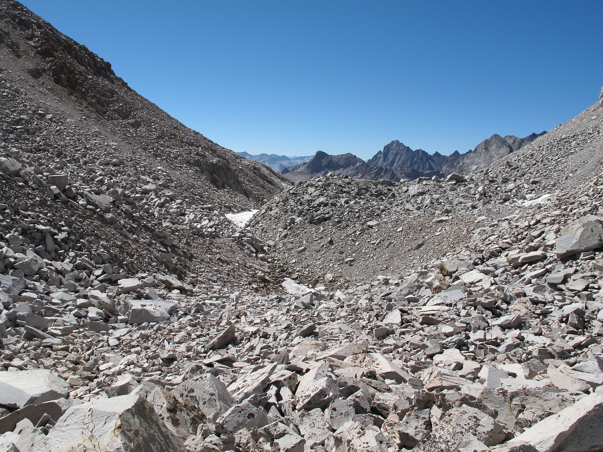
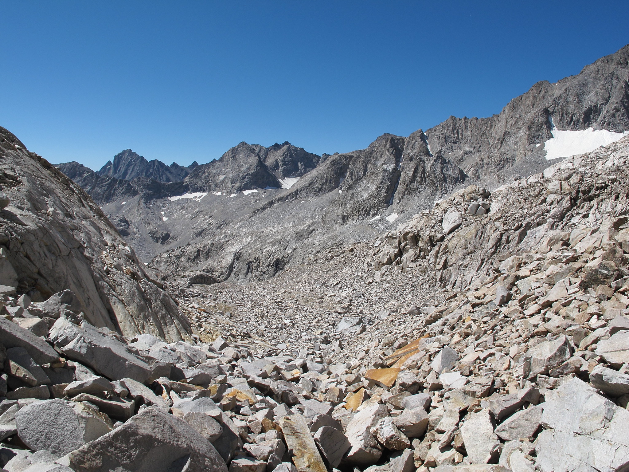
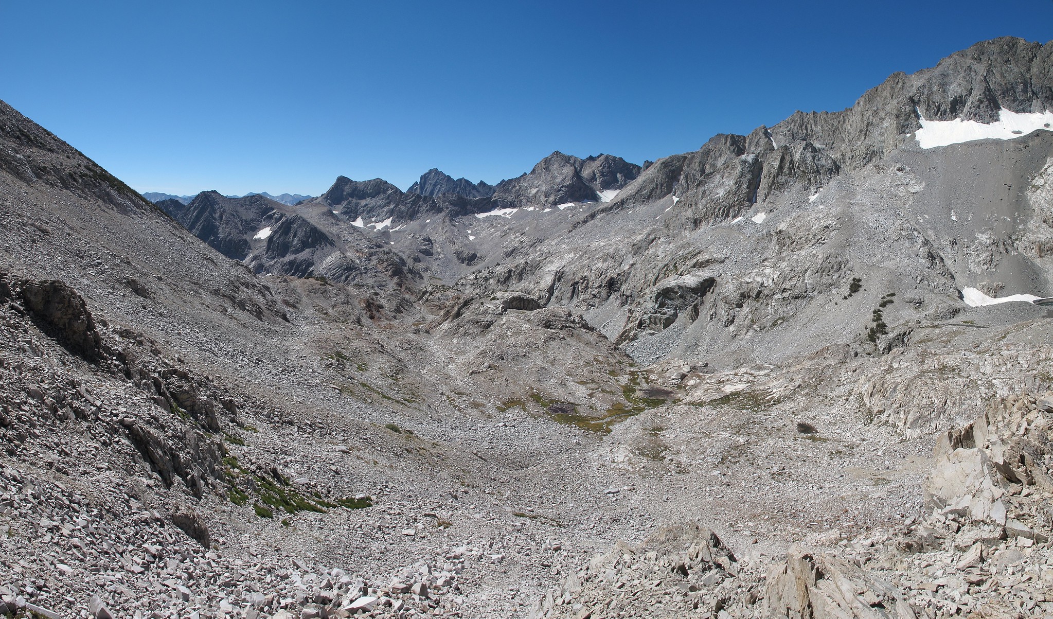
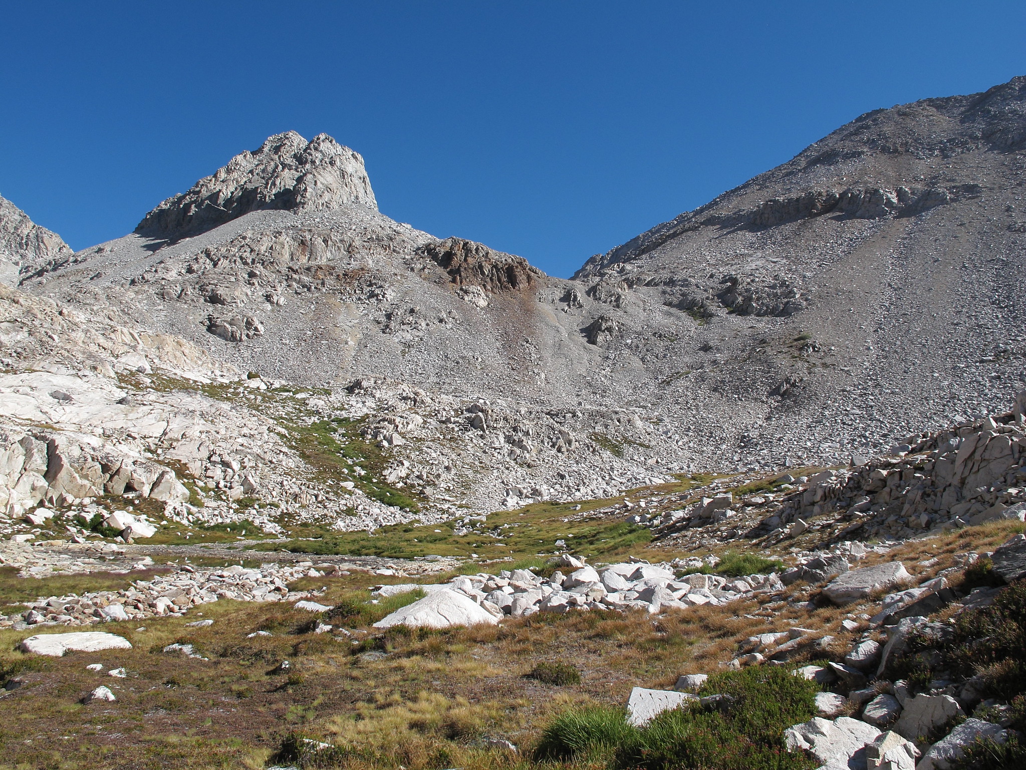
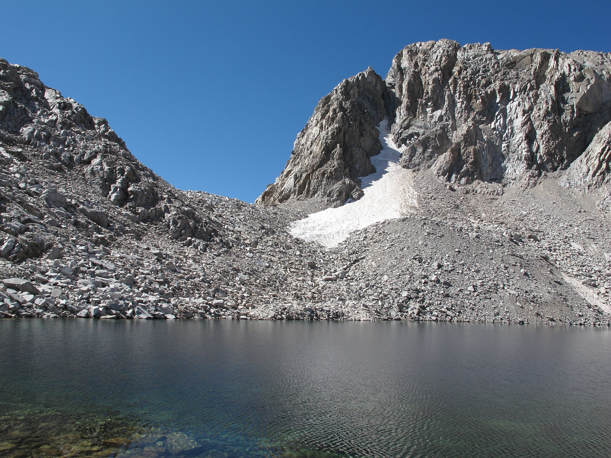
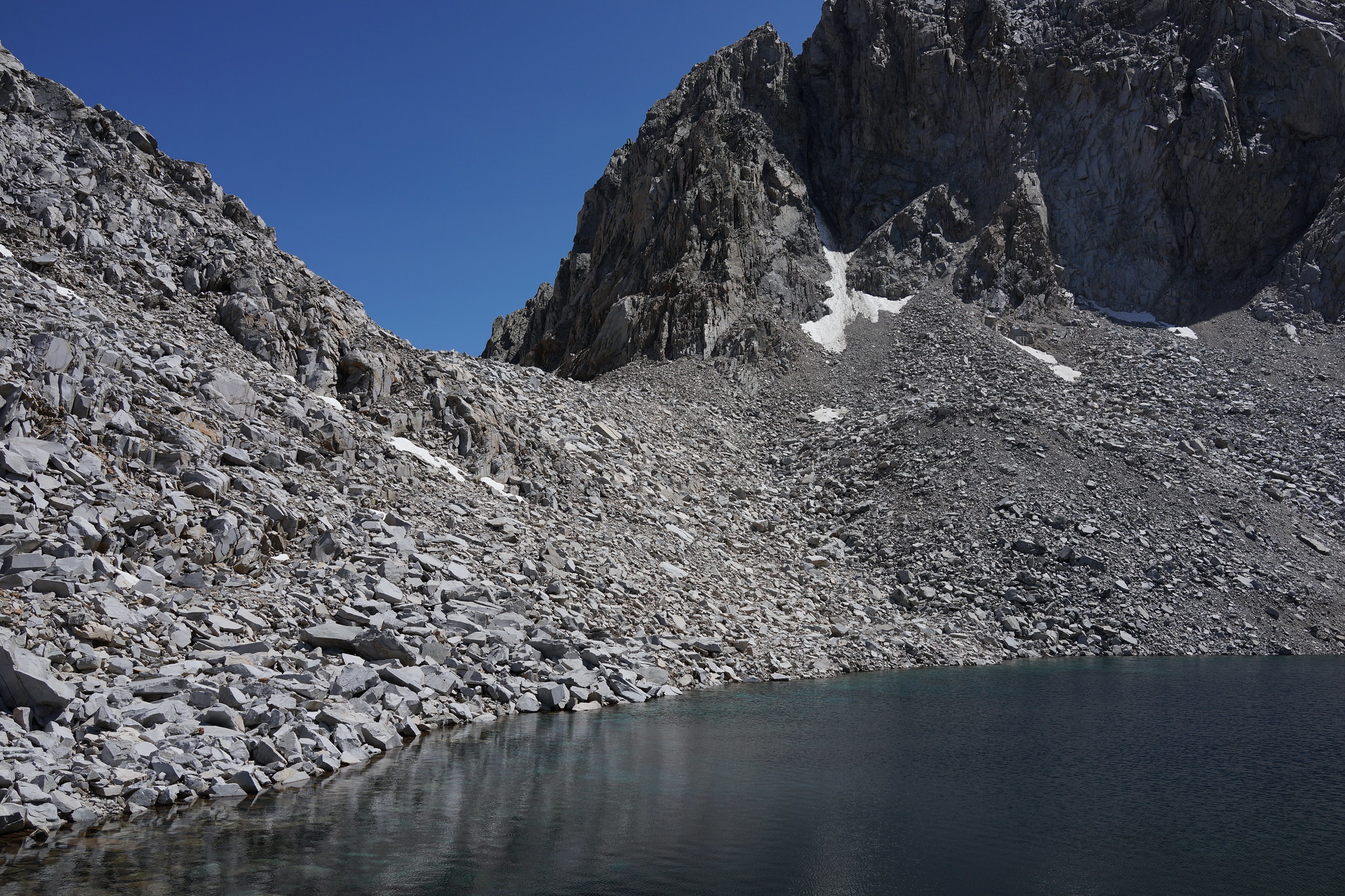
The South side of this pass goes through a moraine field initially and this area is looser than the North Side. After that you begin to descend granite shelves to a few tarns. Following the drainage you pass a larger tarn on your right hand side and follow the outlet to Ladder Lake.
- North Side
- Moraine Field
- Moraine Field w/Rogue
- South Side