Blue Canyon Pass
Posted: Sun Jul 14, 2013 10:15 pm
Blue Canyon Pass
GENERAL OVERVIEW: Crosses White Divide. Connects Blue Canyon with a basin of unnamed lakes above and west from Goddard Creek.
CLASS/DIFFICULTY: Class 2.
LOCATION: Kings Canyon National Park. HST Map
ELEVATION: 11,480+ ft.
USGS TOPO MAP (7.5'): Mt Goddard.
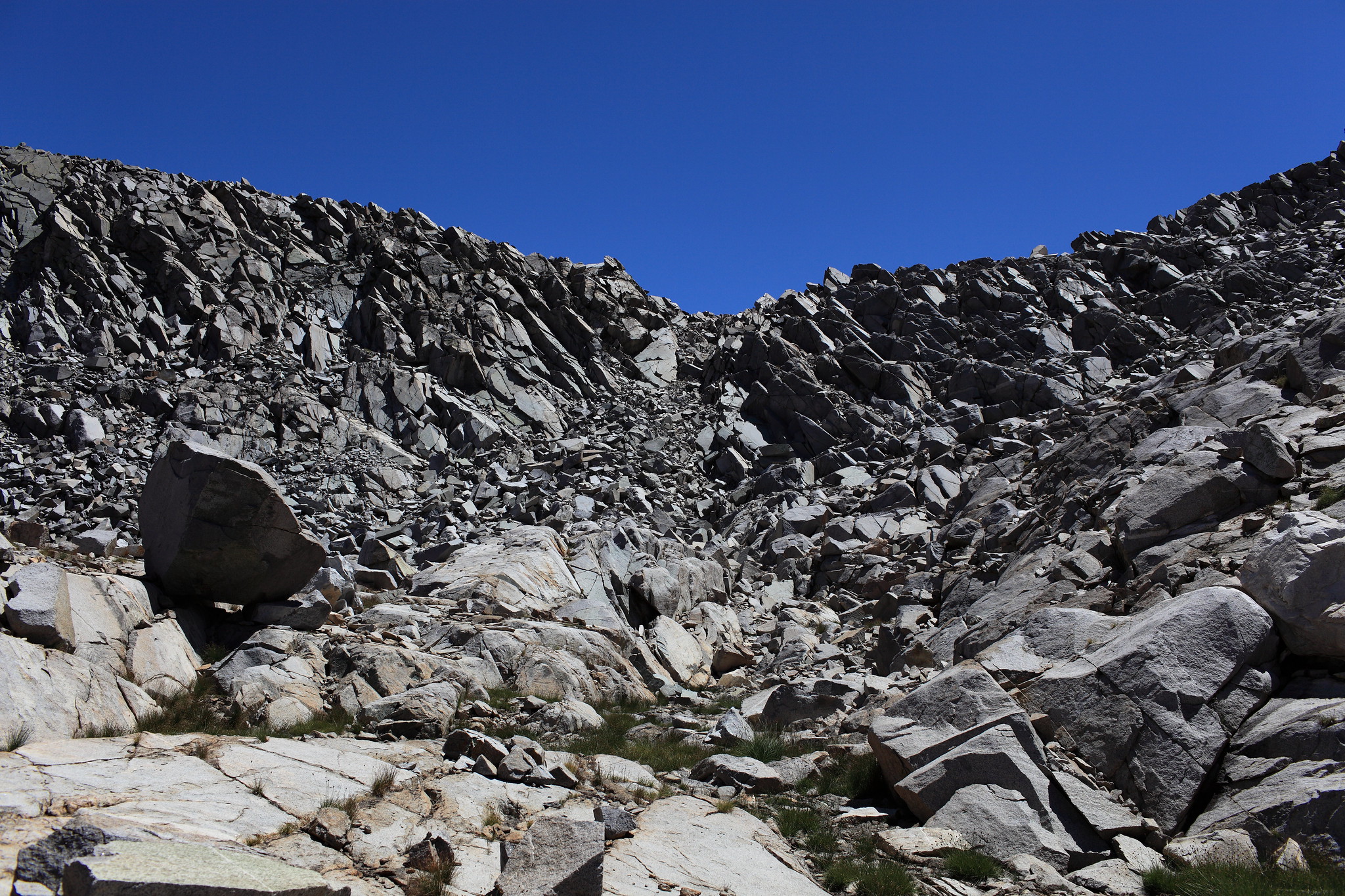
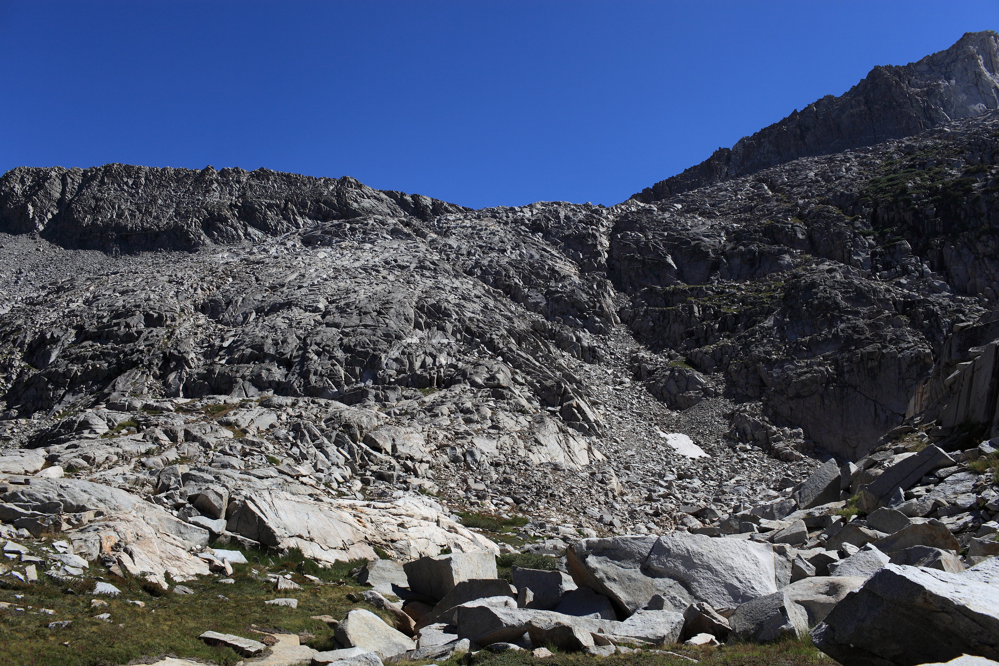
ROUTE DESCRIPTION: I visited this pass from north, but didn't cross it, on 2012-09-13, a low snow year. I climbed from the lake directly below the pass. It is easy to stay on solid granite "lobes" and avoid talus almost all the way up. The south side looked easy - see photos below.
PHOTOS:
Click on images to see larger versions.
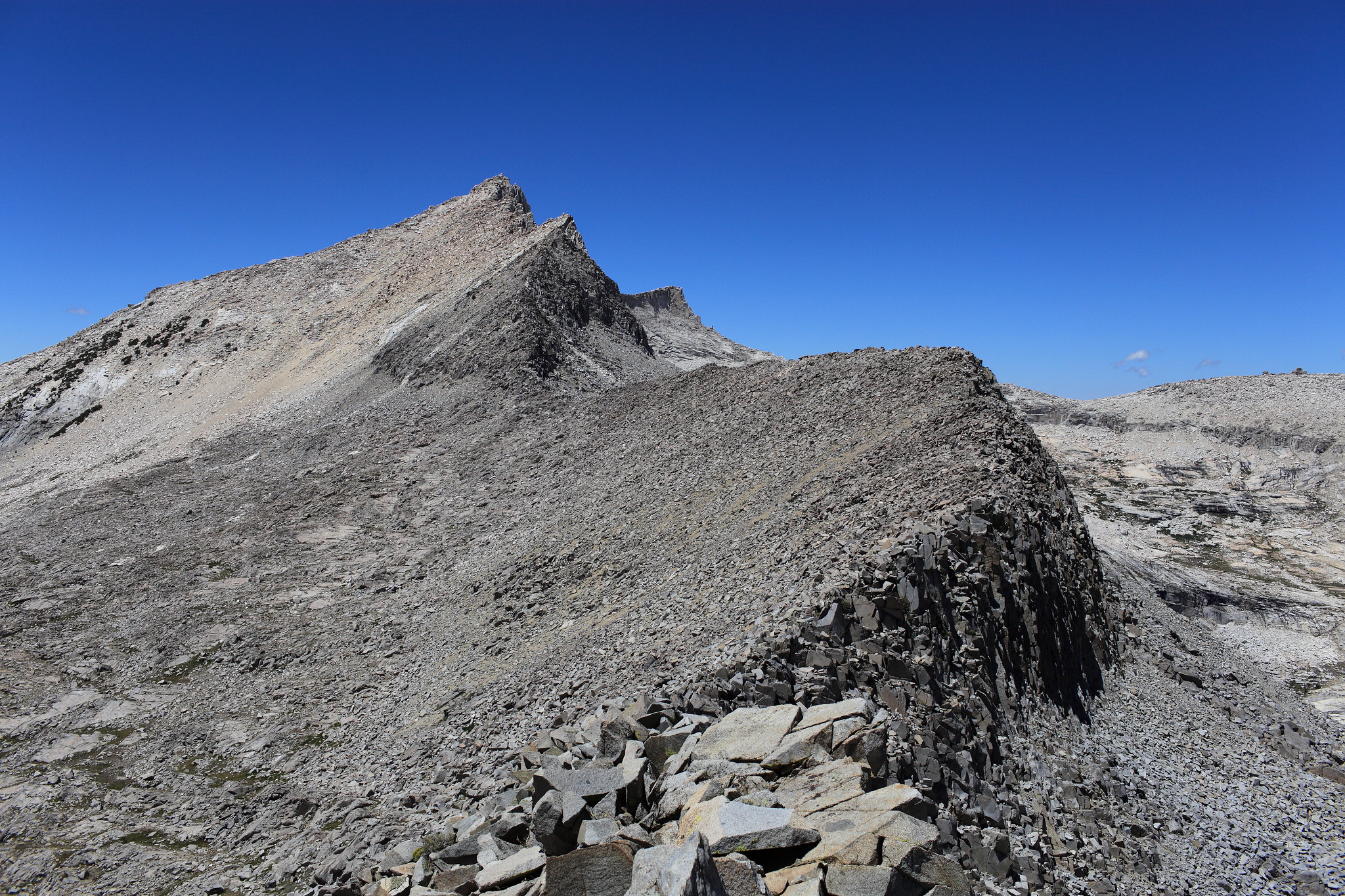
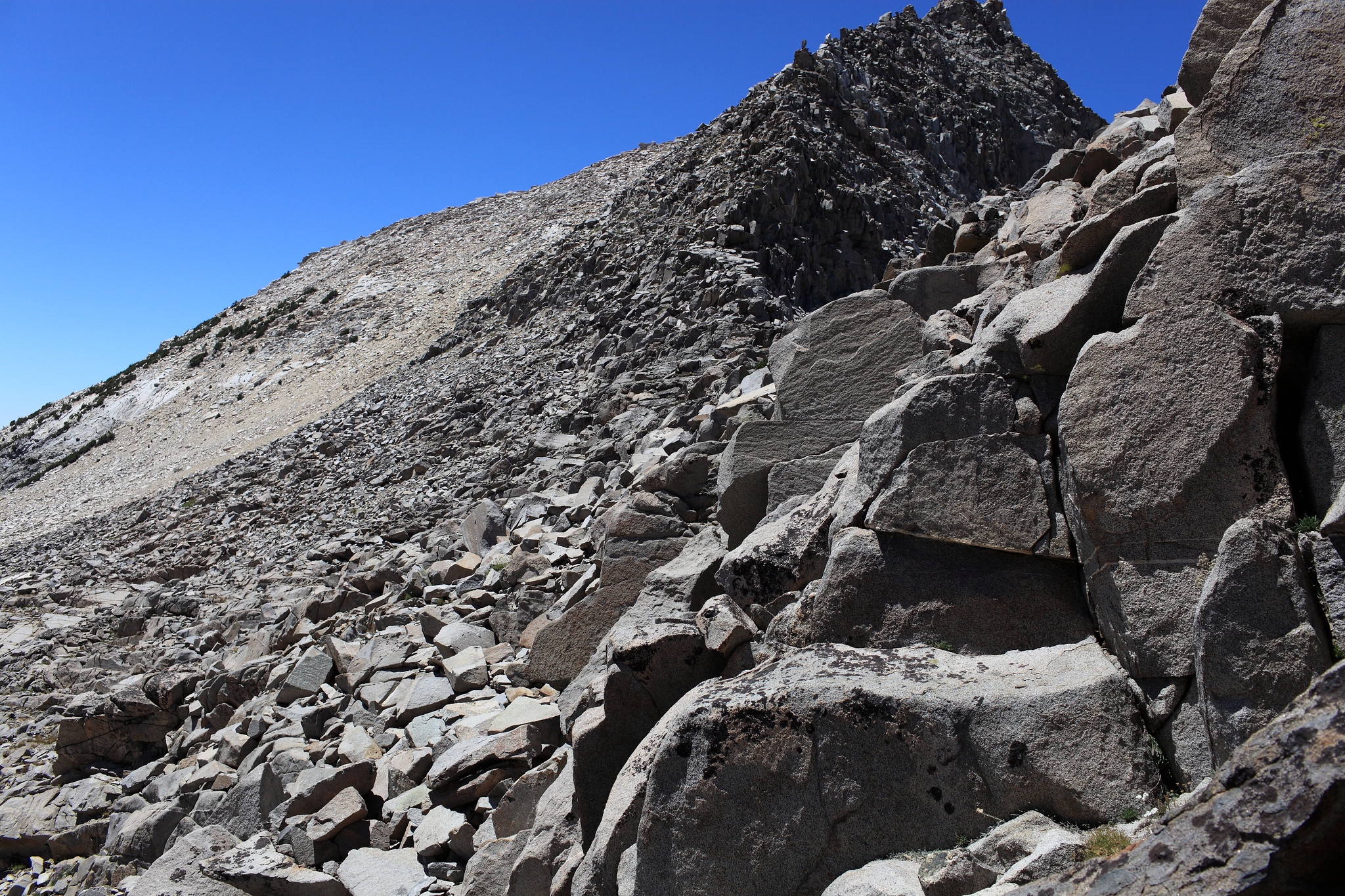
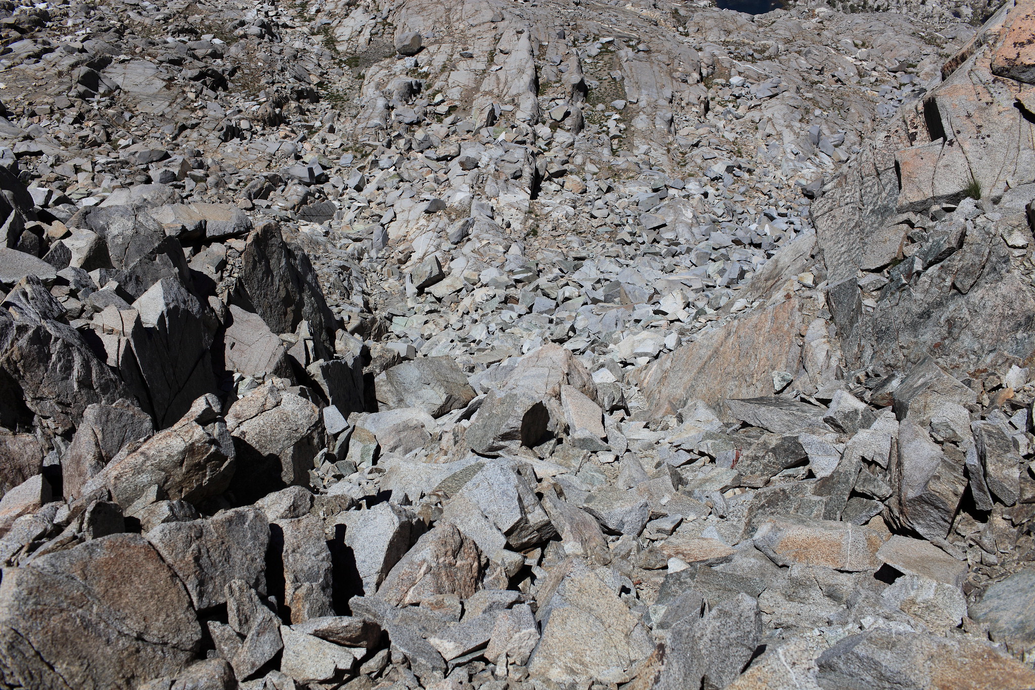
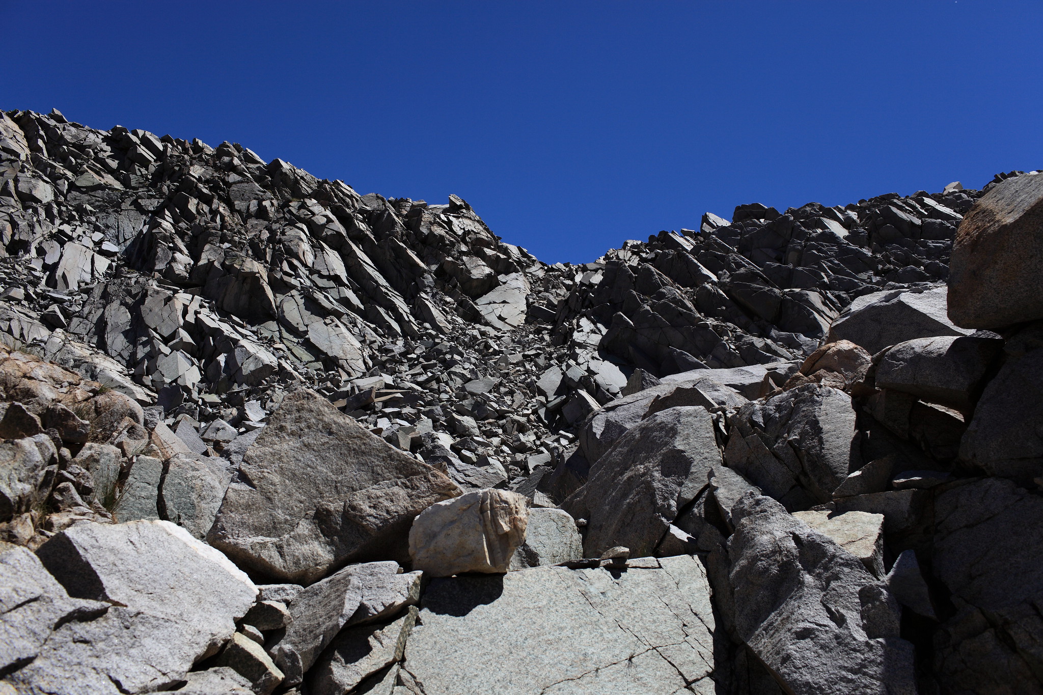
Blue Canyon Pass from about half way up the ridge with knob 11493', between the pass and lake 10232' to the north. Finger Col is on the right. Zoom in. View from the lake below the pass. It looks less steep from here. Top section, north side. View from slightly west from the pass. South side. The pass is on bottom-left.
GENERAL OVERVIEW: Crosses White Divide. Connects Blue Canyon with a basin of unnamed lakes above and west from Goddard Creek.
CLASS/DIFFICULTY: Class 2.
LOCATION: Kings Canyon National Park. HST Map
ELEVATION: 11,480+ ft.
USGS TOPO MAP (7.5'): Mt Goddard.
ROUTE DESCRIPTION: I visited this pass from north, but didn't cross it, on 2012-09-13, a low snow year. I climbed from the lake directly below the pass. It is easy to stay on solid granite "lobes" and avoid talus almost all the way up. The south side looked easy - see photos below.
PHOTOS:
Click on images to see larger versions.
Blue Canyon Pass from about half way up the ridge with knob 11493', between the pass and lake 10232' to the north. Finger Col is on the right. Zoom in. View from the lake below the pass. It looks less steep from here. Top section, north side. View from slightly west from the pass. South side. The pass is on bottom-left.