Re: TR: Taboose and the lake basins -- PART II
Posted: Tue Sep 25, 2012 4:45 pm
Last 2 days of the trip:
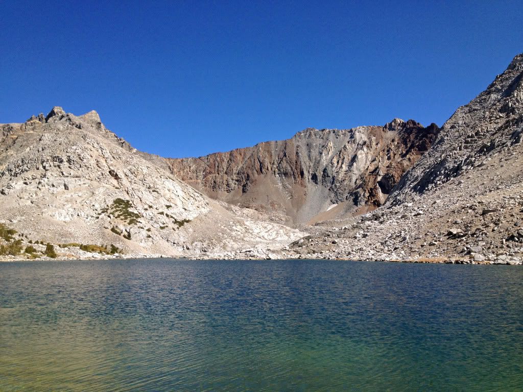
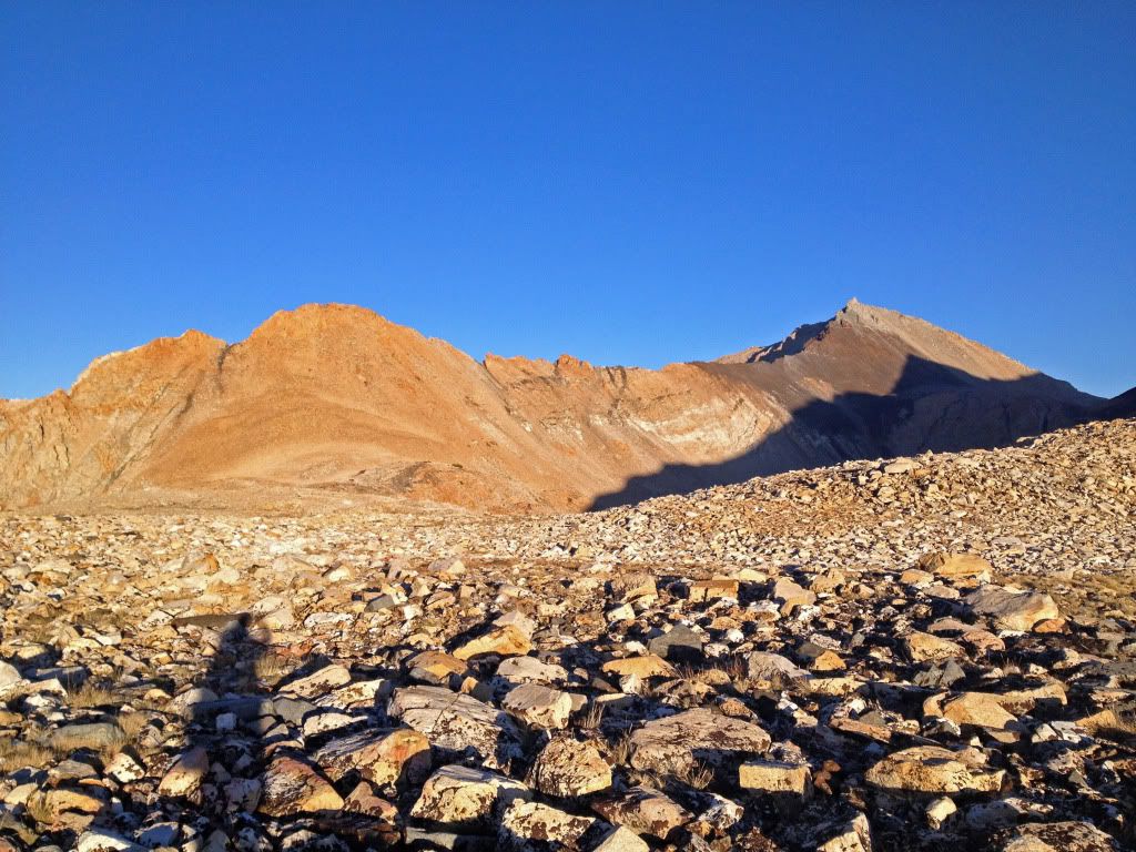
On Saturday, I made it up the surprisingly unpleasant south fork of the Kings (talus fields, downed trees, mule s***) and wanted to explore the lakes west of Striped Mountain, which is one of the most beautiful mountains I've seen, if you ignore the fact that it doesn't really have a peak. I took the outlet stream from where it crossed the JMT, and it was pretty steep going, especially given this was the first day I really felt fatigued. Here's the first lake:
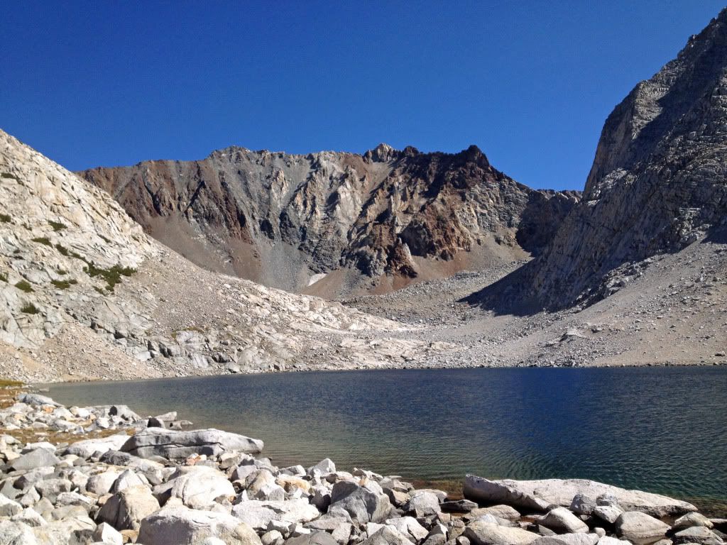
And here's looking back to the west:
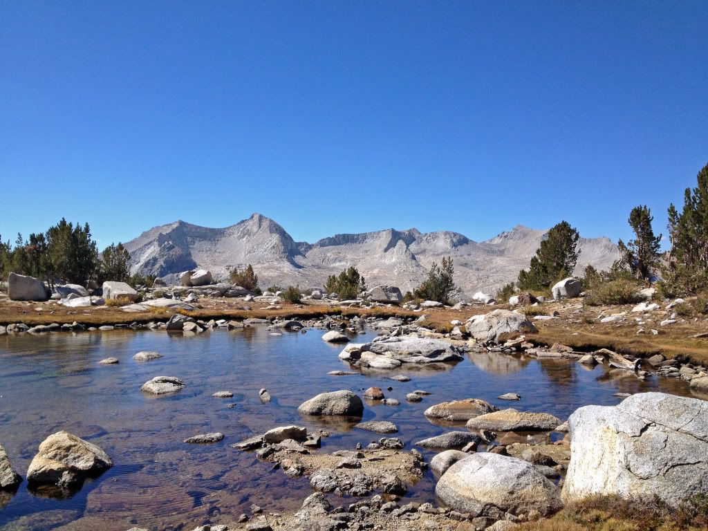
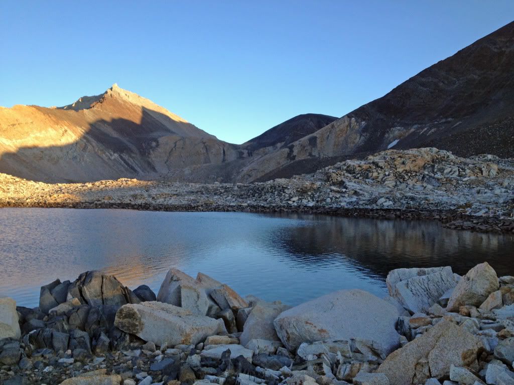
The top lake gets a different section of the mountain, with different colors:
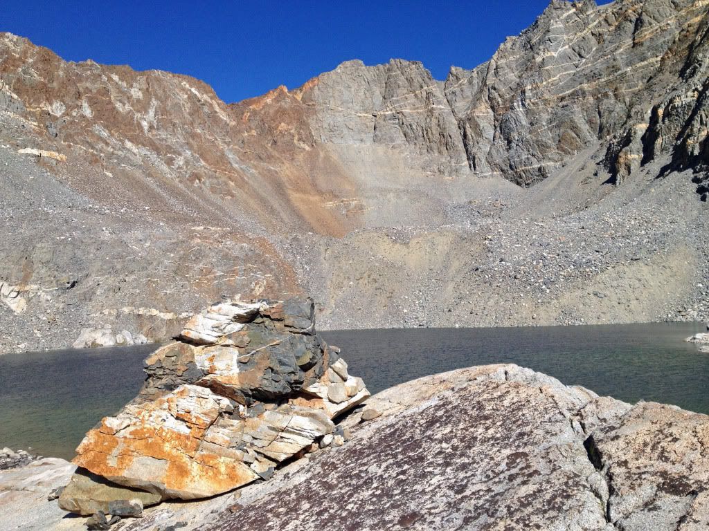
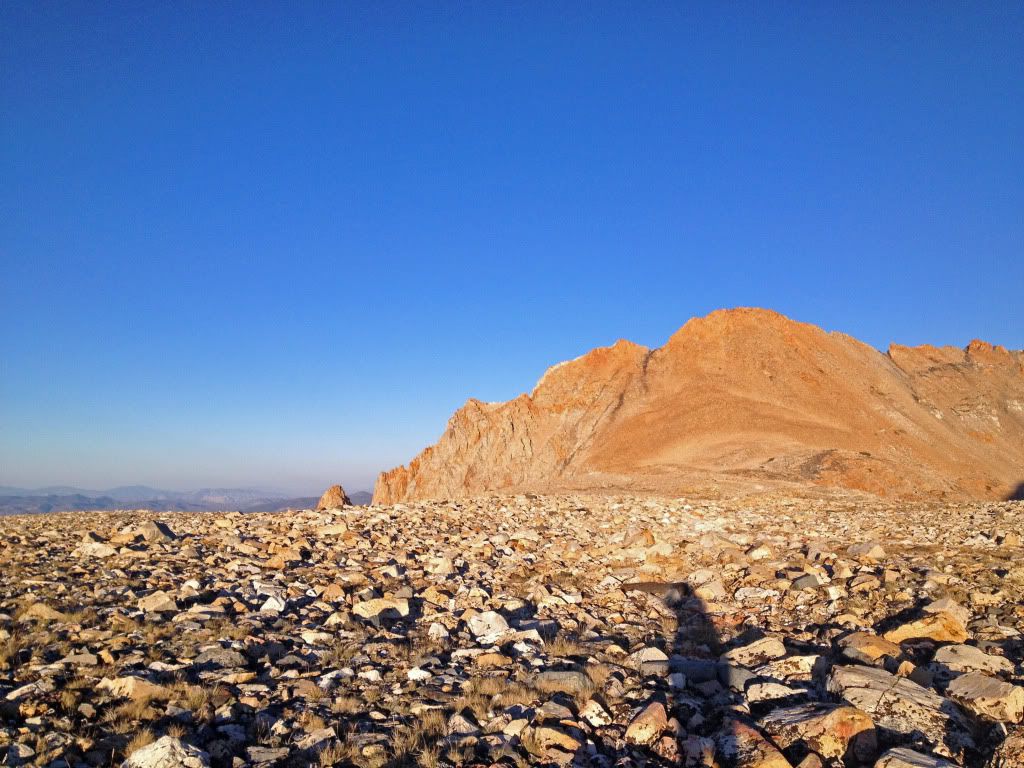
Then, I slowly made my way back over Taboose, and explored the tarns to the south. The views of Goodale Mountain and the shoulders of Goodale and Striped would have been pretty spectacular if I had made it an hour or so earlier. Still pretty nice:
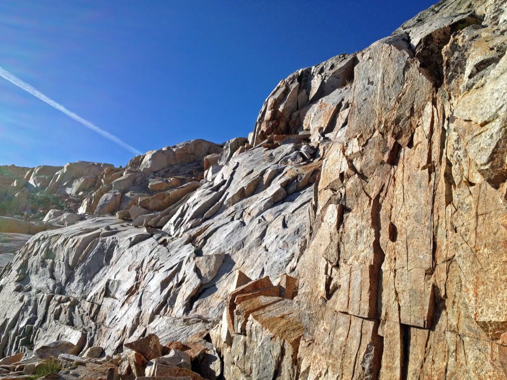
That area is fantastically rocky -- rocks embedded in the ground. It's difficult but beautiful travel.
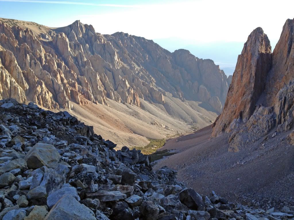
And finally, a nice view down Taboose Canyon, inspiring my morning plunge over rock and rubble back to the trailhead.
On Saturday, I made it up the surprisingly unpleasant south fork of the Kings (talus fields, downed trees, mule s***) and wanted to explore the lakes west of Striped Mountain, which is one of the most beautiful mountains I've seen, if you ignore the fact that it doesn't really have a peak. I took the outlet stream from where it crossed the JMT, and it was pretty steep going, especially given this was the first day I really felt fatigued. Here's the first lake:
And here's looking back to the west:
The top lake gets a different section of the mountain, with different colors:
Then, I slowly made my way back over Taboose, and explored the tarns to the south. The views of Goodale Mountain and the shoulders of Goodale and Striped would have been pretty spectacular if I had made it an hour or so earlier. Still pretty nice:
That area is fantastically rocky -- rocks embedded in the ground. It's difficult but beautiful travel.
And finally, a nice view down Taboose Canyon, inspiring my morning plunge over rock and rubble back to the trailhead.