Page 1 of 1

Harrison Pass

Posted: Tue May 29, 2012 9:28 pm
by quentinc
Harrison Pass

GENERAL OVERVIEW: Crosses the Kings-Kern divide, just east of Mt. Ericsson Crags.

CLASS/DIFFICULTY: Class 2, except for when there's snow like in the photos below, when it's more class 3.

ELEVATION: 12,720 ft

LOCATION: Kern Divide, Kings Canyon National Park. | Locate it on the HST Map

USGS TOPO MAP: Mt Brewer

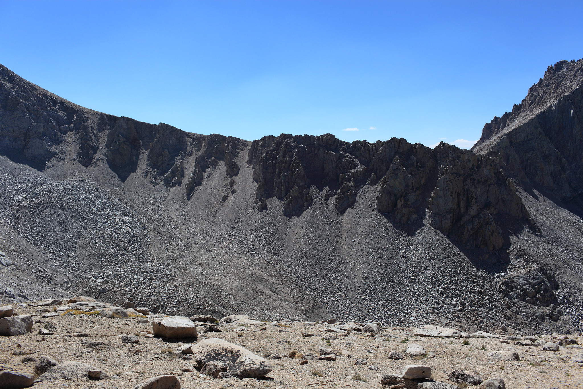
DESCRIPTION: South side is easy -- head towards the west of the rim of the bowl(?), and look for cairns

North side is confusing. There are ducks, but then there are always ducks leading somewhere. Eventually leads to the East Lake trail

PHOTOS:
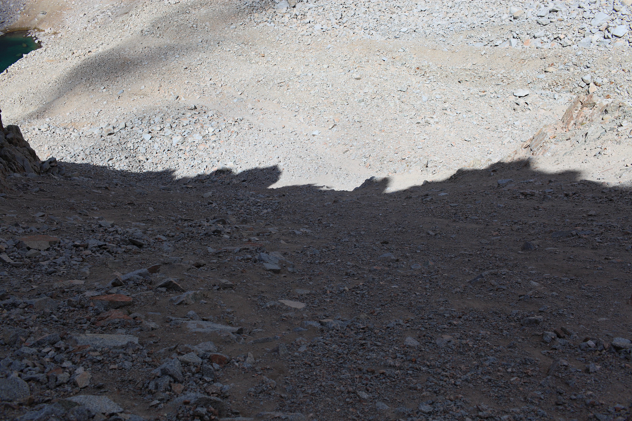
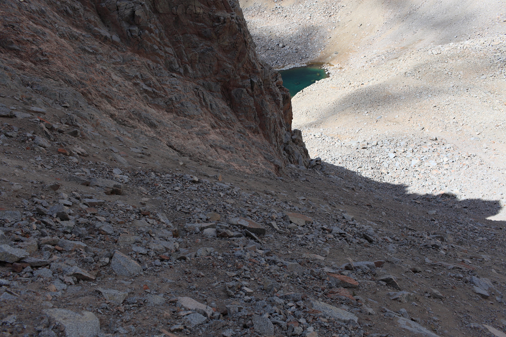
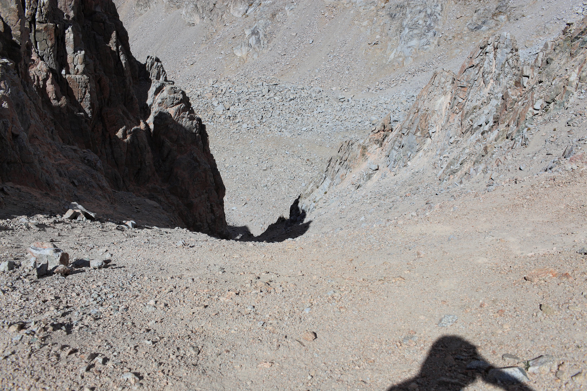
It's not as scary as these look, at least when there's less snow. The 3 photos below depict the North face of Harrison Pass.

Image

Image

Image

Re: Harrison Pass

Posted: Fri Jun 21, 2013 9:22 pm
by ndwoods
Since the photos disappeared does anyone have any pics to add? I want to do this pass this summer...:)

Re: Harrison Pass

Posted: Mon Oct 07, 2013 10:25 pm
by garyr
Went from Lake South America to East Lake on 8/1/13. Large rock pile at entrance to the correct chute, hard to miss. Trail was very loose scree & handholds. May be easiest to glissade right down the middle rock, but didn't try this. Two pics attached.

Re: Harrison Pass

Posted: Fri Oct 11, 2013 11:49 am
by maverick
Hi Garyr,

Welcome to HST! Thanks for the info.
Two pics attached.
Your pictures have not been attached.

Re: Harrison Pass

Posted: Tue Dec 10, 2013 4:53 pm
by RoguePhotonic
CLASS/DIFFICULTY: North to South = Miserable

DESCRIPTION:

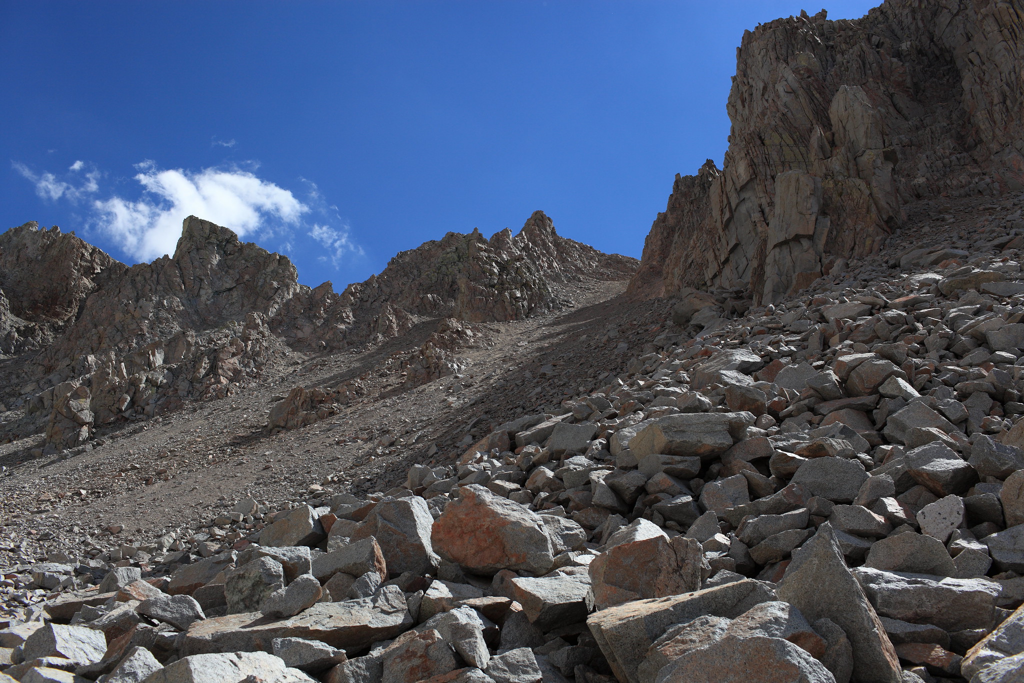
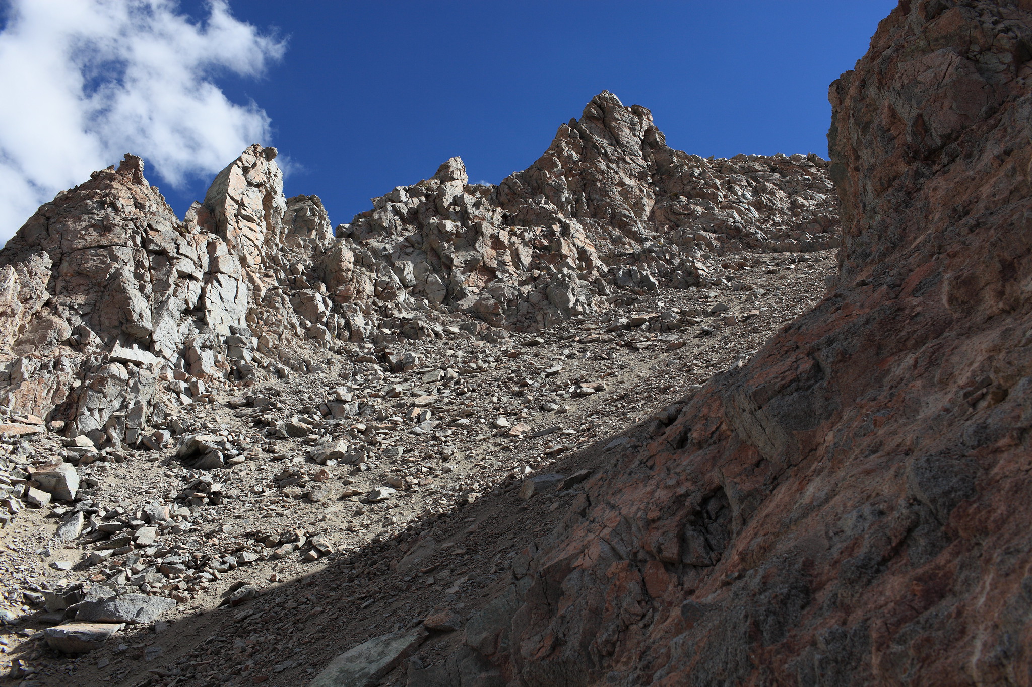
If your not smart like me and decide to climb up the North side leave the small lake at it's base heading SE up the talus field. Remain on this field for as long as possible! I entered the primary slope of the pass until I had to climb up a steep sandy hill side in order to hug the West cliff face of the slope. It was at this point I considered it might be easier to remain on the talus field on the next slope to the West until it is possible to cross into the primary one avoiding the need for a quite miserable and sketchy approach. From here hug the cliff face as much as possible to stay off the sand until your about half way up. At this point the best route is debatable. I think most people cross to the Eastern side of the slope and climb up the rock faces. I however remained directly in the chute and fought my way up to the top. This involves what I considered to be one of the most difficult slopes I have ever climbed up. There was a great deal of cursing and growling finally leading to an animalistic declaration of victory when I reached the top.

Image
Image
Image
Image
Image
Image
Image

Re: Harrison Pass

Posted: Wed Feb 22, 2017 10:32 pm
by maiathebee
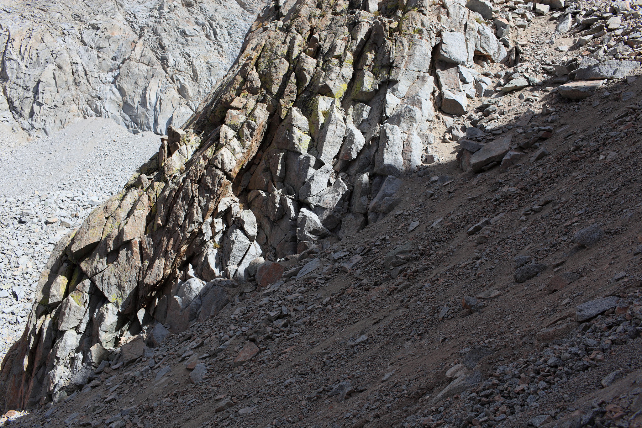
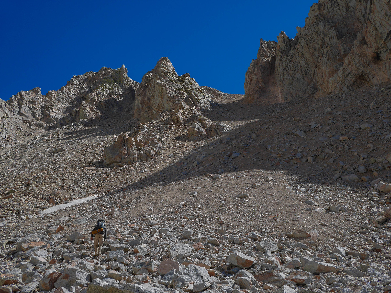
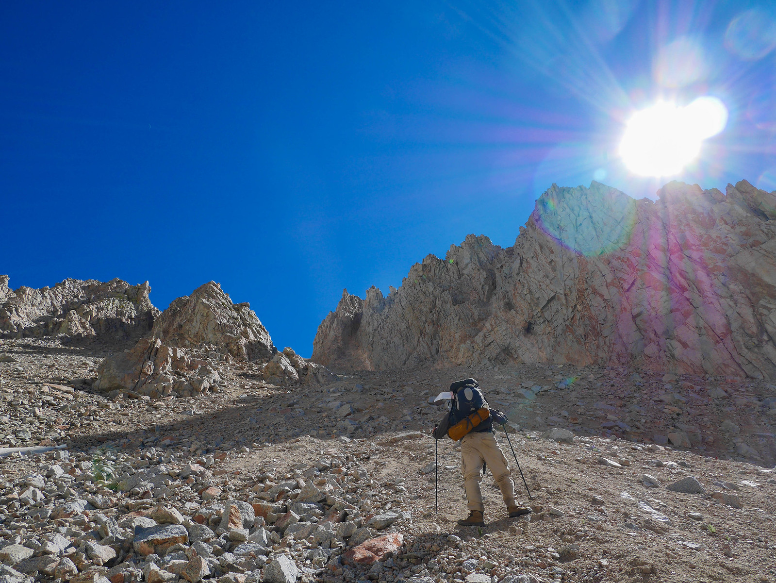
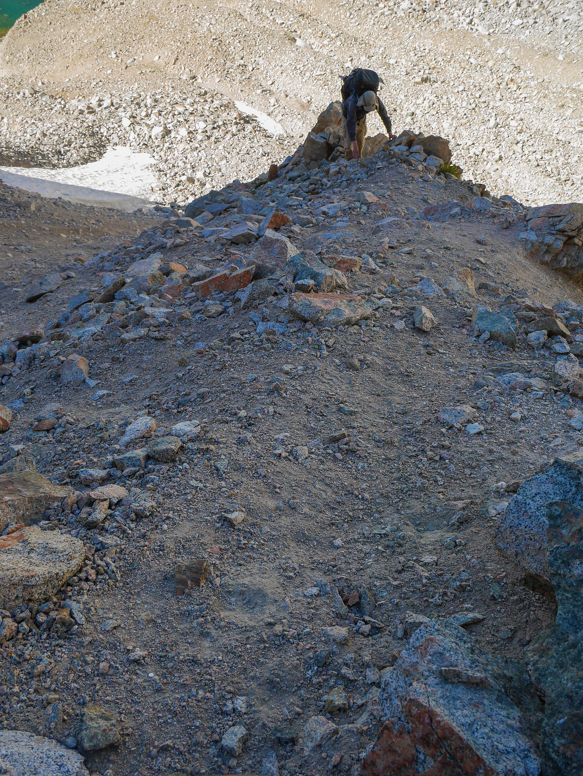
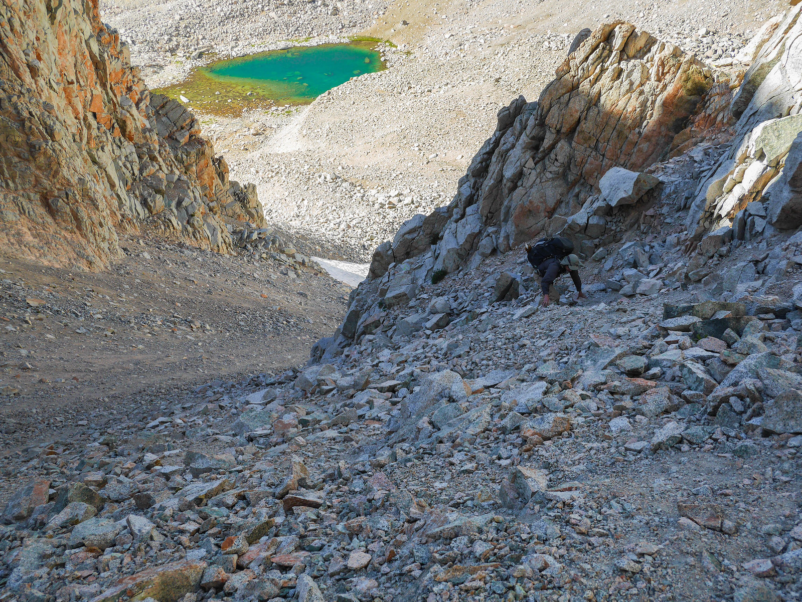
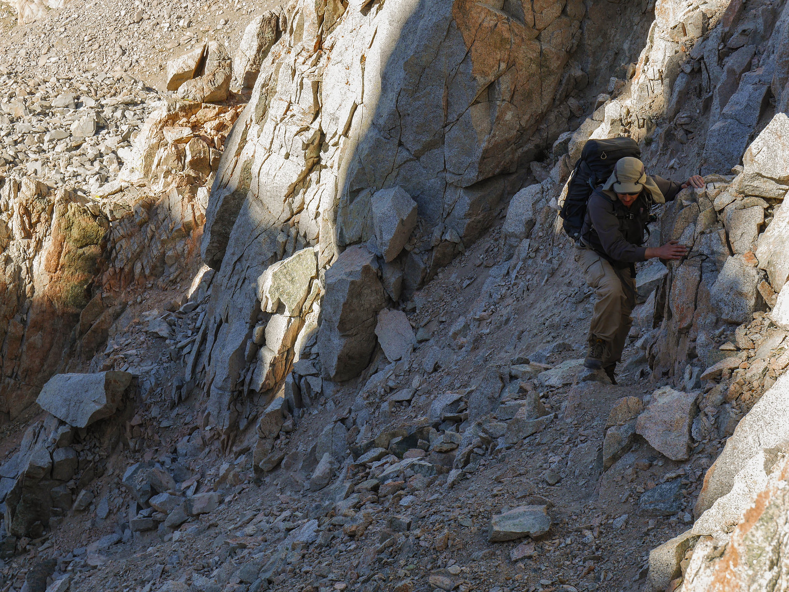
We had a similarly grueling experience ascending north to south. We chose to climb along the base of the cliffs on the east side, hoping that it'd be easier than heading straight up the sandy chute. The rock quality is horrible---everything is loose and crumbling. We had to go very slow, climbing in turns, to make sure we weren't dislodging boulders the size of bowling balls onto each other. Here are some photos from August 2016.

ImageThe final chute to Harisson. Somehow it doesn't look that bad. IT WAS HORRIBLE. by Maia Averett, on Flickr

ImageJason tried to duckwalk it, but could hardly make progress and was constantly about to fall / knock things loose. by Maia Averett, on Flickr

ImageWe decided to climb the rocks to the left of the chute. It was very steep and loose. Jason is climbing a steep section that flattens out to where I was waiting. by Maia Averett, on Flickr

ImageYou can see a bit here how steep and loose it is. by Maia Averett, on Flickr

ImageGarbage rock. by Maia Averett, on Flickr