Trip Report: White Divide out of Rancheria
Posted: Thu Sep 09, 2010 8:22 am
Last month some friends and I backpacked across the White Divide and back from Woodchuck country. Scenery, isolation, and perfect cross country travel all made this trip a rollicking five-star experience. I gained a good deal of beta information on our route by lurking on this board and so I thought I'd post a report and pictures.
Over six days and five nights we walked: Rancheria TH -> Crown Basin -> Blue Canyon -> Goddard Creek & Lake 10,232 -> Ambition Lake -> Blackcap Basin -> Halfmoon Lake -> Rancheria TH. Everything from five miles before Crown Basin to a few miles after Blackcap was off-trail, as was much of the other travel. As others have reported, the trails in this region make compelling arguments for cross-country routefinding. With six days the trip was physically demanding but not all that bad. I think that a very fit party could easily make time for the lazy afternoons and layover day we hoped for. Unfortunately, poor conditioning and mild altitude sickness slowed one of us down such that we spent most of every day hiking. We still had a great time.
Pictures (click to enlarge):
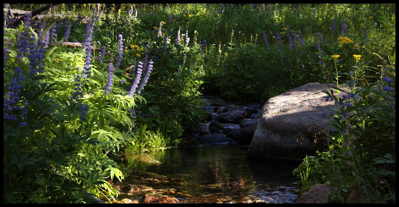
En route to Crown Basin & overlooking crown creek below Crown Basin
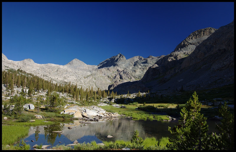
Hummingbird Lake:
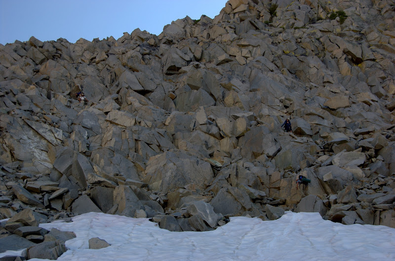
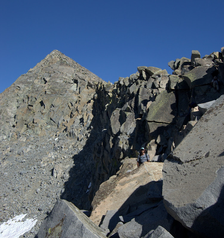
The north side of Blue Canyon pass. Steep! I've read that it's class II, but our route felt like solid III to me, and I didn't see anything better. It was much trickier than class II/III valor pass. Those colorful dots in the upper picture are us.
We had an unintended adventure on the south side of this pass when I got overconfident and wrongly lead us to the next saddle east. That would have put us 1500' further down into Goddard creek than we needed to be! Luckily someone fired up their GPS. Shamed (and very relieved) I spent the rest of the trip carefully shooting compass bearings and not making big mistakes.
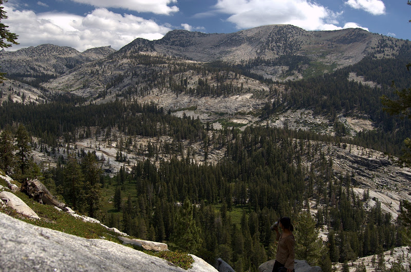
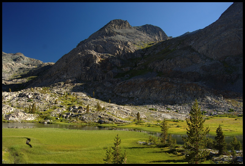
Goddard Canyon:
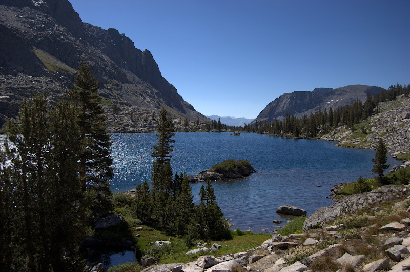
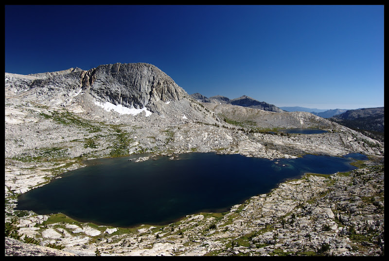
Ambition. Would you believe that the lake in the background is actually lower than the one in the foreground? I didn't, at least not until I walked it myself.
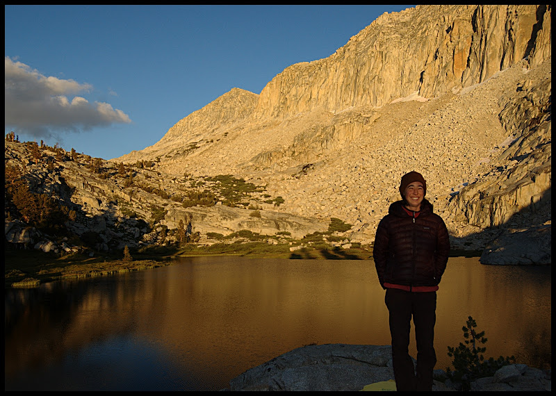
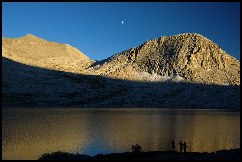
Sunset at Ambition:
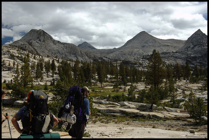
Out via Blackcap Basin, just in time for threatening weather.
I'd do it all again in a heartbeat.
Have fun out there,
James
Over six days and five nights we walked: Rancheria TH -> Crown Basin -> Blue Canyon -> Goddard Creek & Lake 10,232 -> Ambition Lake -> Blackcap Basin -> Halfmoon Lake -> Rancheria TH. Everything from five miles before Crown Basin to a few miles after Blackcap was off-trail, as was much of the other travel. As others have reported, the trails in this region make compelling arguments for cross-country routefinding. With six days the trip was physically demanding but not all that bad. I think that a very fit party could easily make time for the lazy afternoons and layover day we hoped for. Unfortunately, poor conditioning and mild altitude sickness slowed one of us down such that we spent most of every day hiking. We still had a great time.
Pictures (click to enlarge):
En route to Crown Basin & overlooking crown creek below Crown Basin
Hummingbird Lake:
The north side of Blue Canyon pass. Steep! I've read that it's class II, but our route felt like solid III to me, and I didn't see anything better. It was much trickier than class II/III valor pass. Those colorful dots in the upper picture are us.
We had an unintended adventure on the south side of this pass when I got overconfident and wrongly lead us to the next saddle east. That would have put us 1500' further down into Goddard creek than we needed to be! Luckily someone fired up their GPS. Shamed (and very relieved) I spent the rest of the trip carefully shooting compass bearings and not making big mistakes.
Goddard Canyon:
Ambition. Would you believe that the lake in the background is actually lower than the one in the foreground? I didn't, at least not until I walked it myself.
Sunset at Ambition:
Out via Blackcap Basin, just in time for threatening weather.
I'd do it all again in a heartbeat.
Have fun out there,
James