Earhart Ridge (unofficial)
Posted: Tue Sep 27, 2022 4:49 pm
Name: Earhart Ridge
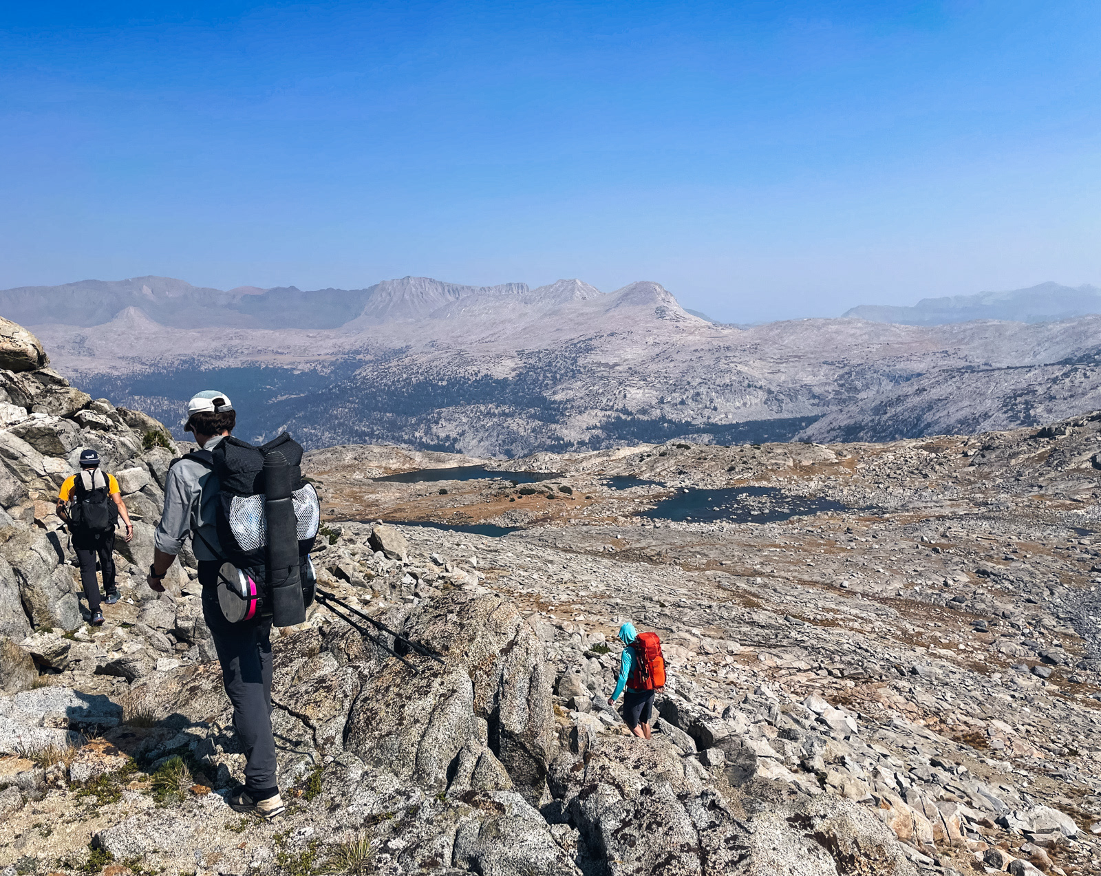
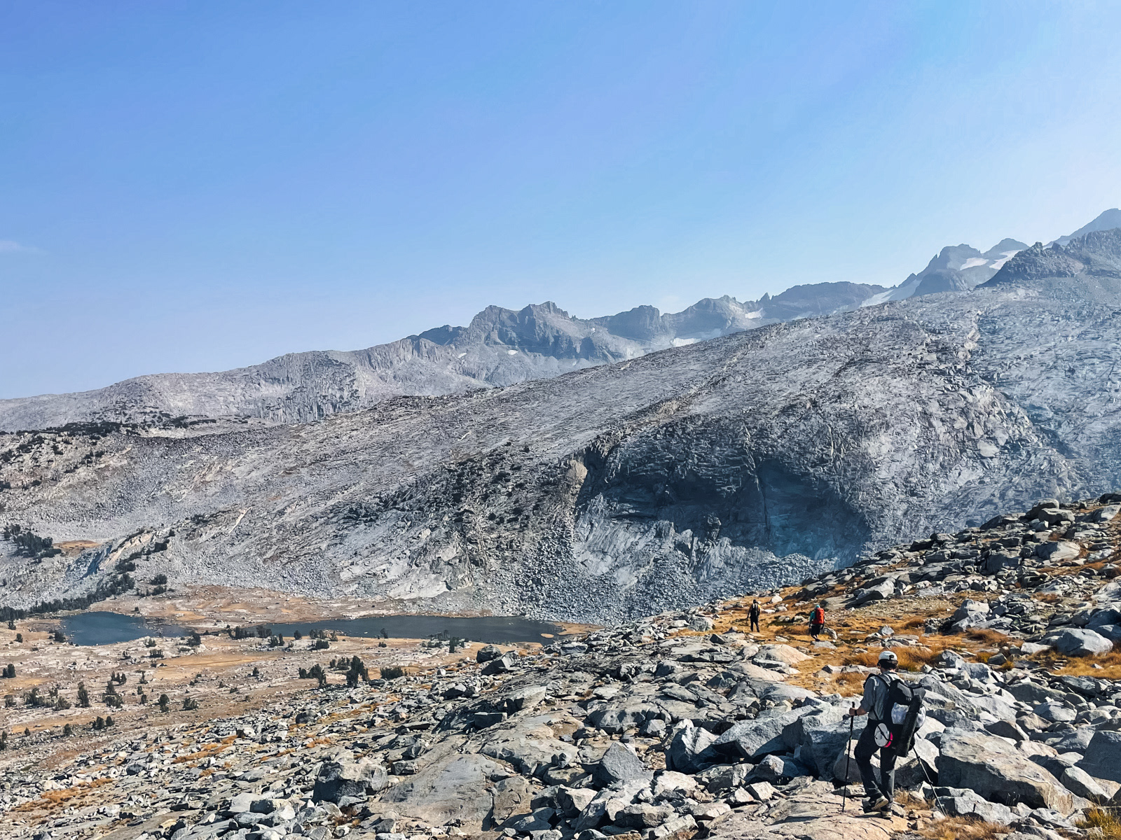
Overview: The ridge that extends from the summit of Amelia Earhart Peak trends southwesterly and is punctuated in two places that enable backpacker access between upper Lyell Canyon and Ireland Lake. This is the more northerly gap.
Class: 2 (the Ireland side is harder).
Location Yosemite wilderness
Elevation: Almost 11,600 ft.
HST Map:HST Map
Description: A quartet of un-named lakes sits on a plateau a bit northeast of Simmons Peak. They are separated from Ireland Lake by a ridge extending southwesterly from Amelia Earhart Peak. The ascent of this ridge from the quartet of lakes is easy class 2. Once you reach the ridgeline, it's an appreciably steeper descent on the Ireland side. A sand-gravel chute will take you about a third of the way down, but then it is best to traverse on a southwesterly trending ramp until you run into a chute filled with crushed rock/boulders which extends down to Ireland basin. I've tried to draw a rough set of lines on one of the photos, but when I try to save the image, the lines get distorted. I'll keep trying.Here are the images: