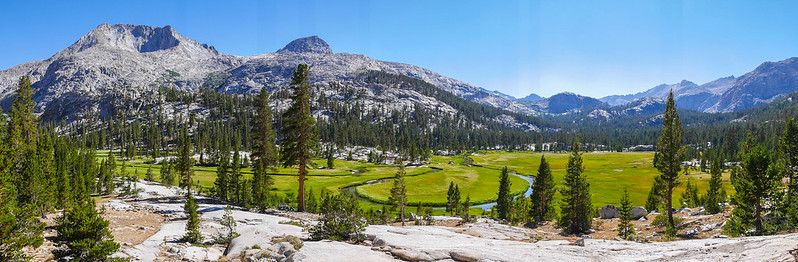
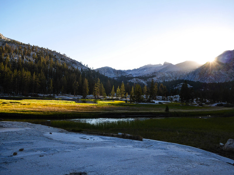
Circle of Solitude in early July in a low snow year
Posted: Wed Jun 06, 2018 3:55 pm
I'm planning a Circle of Solitude variation with my wife for early July, and was wondering if anyone has experience traveling through the area, on trail and/or XC, at that time during a relatively low snow year.
We are experienced backpackers and intermediate rock climbers, and we have backpacked cross-country a handful of times. The variation I've mapped out will give us the opportunity to at least partially scramble up some of the nearby peaks to scope out future peak-bagging (or actually attempt them, weather/time/confidence permitting). There are decent trip reports online for both XC sections and we have 8 days for the whole thing, which, if we make no attempts at any peaks, gives us about a day of buffer (or more). I've planned the trip to alternate between hard and easy days throughout.
The route is:
Roads End up to Sphinx Lakes (partial XC)
Sphinx Lakes over to Big Brewer Lake via Sphinx Col; eye/attempt North Guard and/or Mt. Brewer (XC)
Down along Brewer Creek to Roaring River (XC)
Roaring River over Colby Pass to Bighorn Plateau
Bighorn Plateau to Lake South America; possibly bag Caltech via west slope
LSA over Harrison Pass to Lake Reflection, East Lake (XC)
Out Roads End
Caltopo map of this plan: https://caltopo.com/m/7AML
It was a mediocre snow year, so I'm hopeful that we won't get stymied by too much snow in the first week of July even above 10,000ft. (We're going to bring poles and microspikes regardless). I had originally envisioned doing this in September, but we have some friends who are doing the JMT late June, so it might be nice to try to rendezvous with them before their last push to Whitney.
1) Should we be concerned about XC travel to the Sphinx/Brewer drainages, and then back down to Cloud Canyon, in early July?
2) The north side of Harrison Pass dry would be well within our comfort zone, but similarly, should we be prepared to backtrack to the JMT and take Forester if it's still melting?
3) Will stream crossings still be hairy by early July? (Particularly Bubbs Creek by East Lake, Kern River as we approach the JMT from Colby Pass, etc)
4) Should we invest in ice-axes or more serious crampons?
5) We're crossing our fingers we can score Bubbs Creek permits on the Saturday before July 4th, by getting to the ranger station a few hours before it opens. Only 5 walk-up permits are available but it's just the two of us. We had no issues getting walkup permits for counterclockwise Rae Lakes Loop at noon on a random July Wednesday a few years ago, but weekend + July 4th has me a little concerned.
Appreciate your patience with a first-time poster, HST has been super useful for trip planning for me for the last five years, as an unregistered lurker