Midway Pass
Posted: Fri Dec 18, 2015 9:36 pm
TITLE: Midway Pass
This is perhaps the only pass I can think of that is called a pass but I completely regard it as a couloir.
GENERAL OVERVIEW: This pass crosses the far NW ridge of Finger Peak between Cathedral Lake & Blue Canyon
CLASS/DIFFICULTY: Class 2 with class 3 route options
LOCATION: Sierra National Forest / John Muir Wilderness. on the NW ridge of Finger Lake. HST Map
ELEVATION: 11,650
USGS TOPO MAP (7.5'): Mt. Goddard
ROUTE DESCRIPTION: My knowledge of this Col is limited to the North side of it as I some what used it as a route to climb Finger Peak.
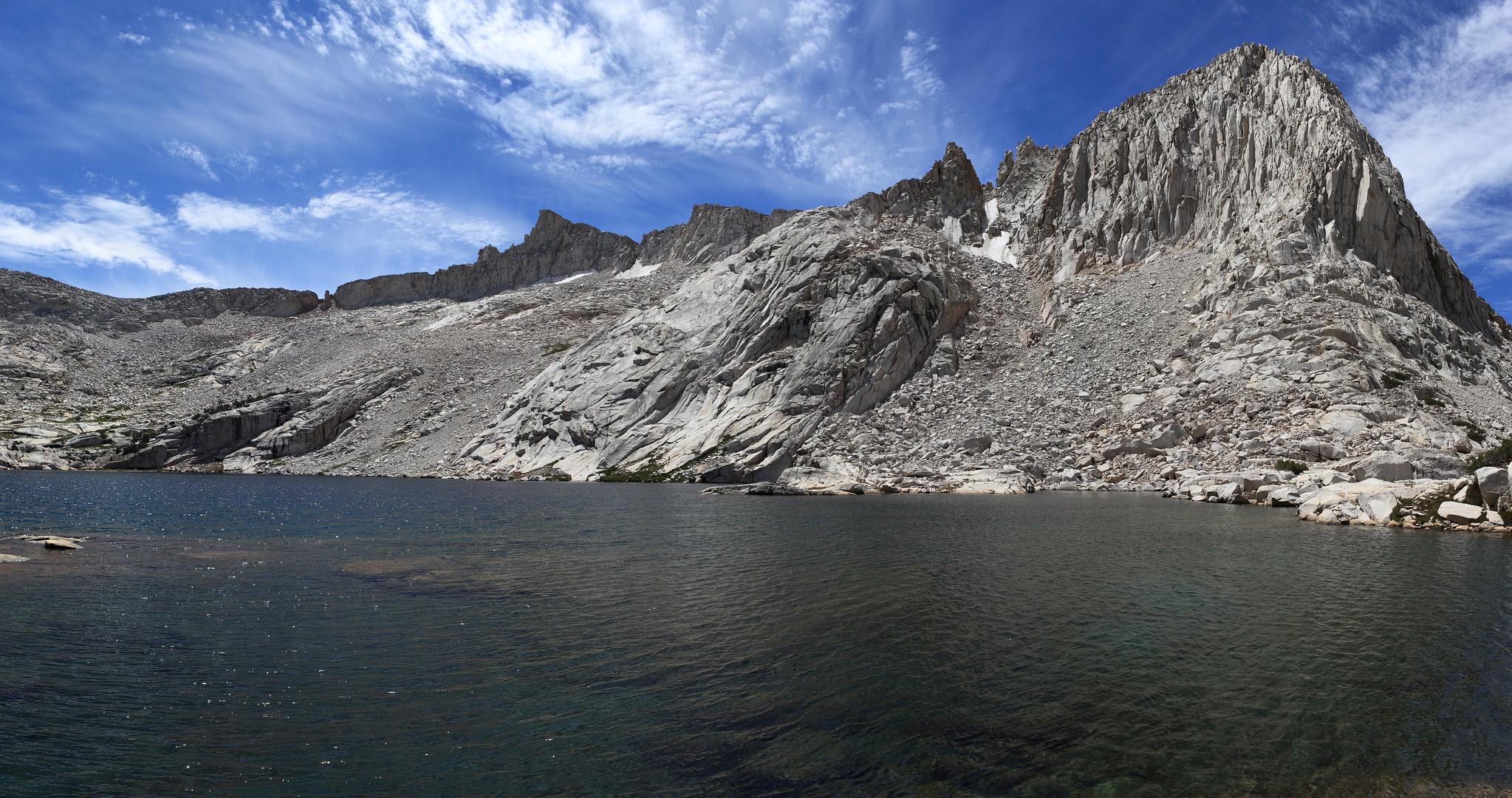
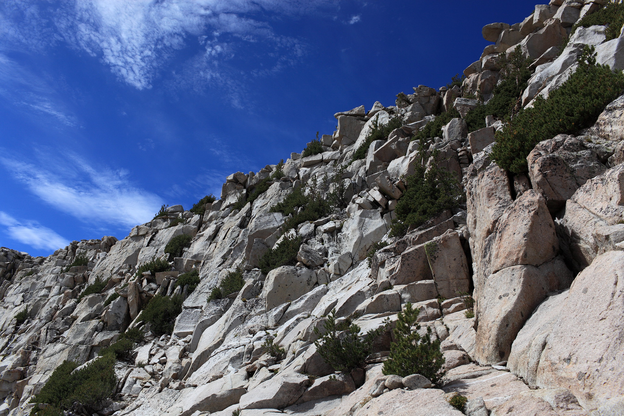
The Col itself is the only obvious cut on the ridge and you begin by climbing nice stable talus straight up it. When I reached the narrow part which is the col it was covered wall to wall by solid ice and was extremely steep dirt. Nothing about this route was even slightly appealing. From here I moved far to the left where you can begin climbing class 3 rocks onto the NE slope. This section is a mix of shelves, blocks and small trees with a bit of route finding to the top of the ridge. It's continuous class 3 climbing until your on the broad easy ridge. From here dropping down in whatever direction your heading should be an easy task.
This is perhaps the only pass I can think of that is called a pass but I completely regard it as a couloir.
GENERAL OVERVIEW: This pass crosses the far NW ridge of Finger Peak between Cathedral Lake & Blue Canyon
CLASS/DIFFICULTY: Class 2 with class 3 route options
LOCATION: Sierra National Forest / John Muir Wilderness. on the NW ridge of Finger Lake. HST Map
ELEVATION: 11,650
USGS TOPO MAP (7.5'): Mt. Goddard
ROUTE DESCRIPTION: My knowledge of this Col is limited to the North side of it as I some what used it as a route to climb Finger Peak.
The Col itself is the only obvious cut on the ridge and you begin by climbing nice stable talus straight up it. When I reached the narrow part which is the col it was covered wall to wall by solid ice and was extremely steep dirt. Nothing about this route was even slightly appealing. From here I moved far to the left where you can begin climbing class 3 rocks onto the NE slope. This section is a mix of shelves, blocks and small trees with a bit of route finding to the top of the ridge. It's continuous class 3 climbing until your on the broad easy ridge. From here dropping down in whatever direction your heading should be an easy task.