Ionian Pass (Unofficial)
Posted: Tue Sep 29, 2015 11:05 pm
Title: Ionian Pass (Unofficial)
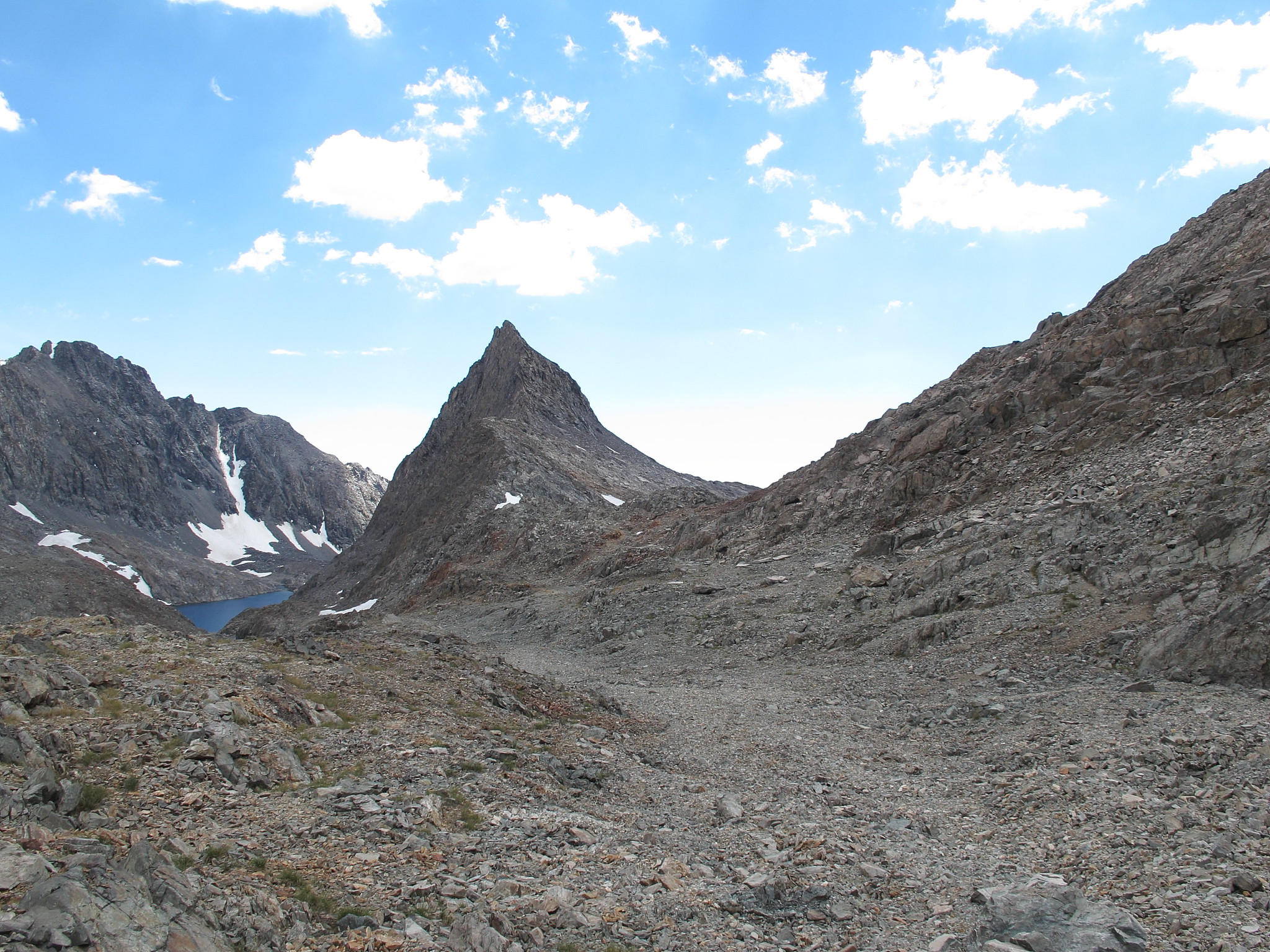
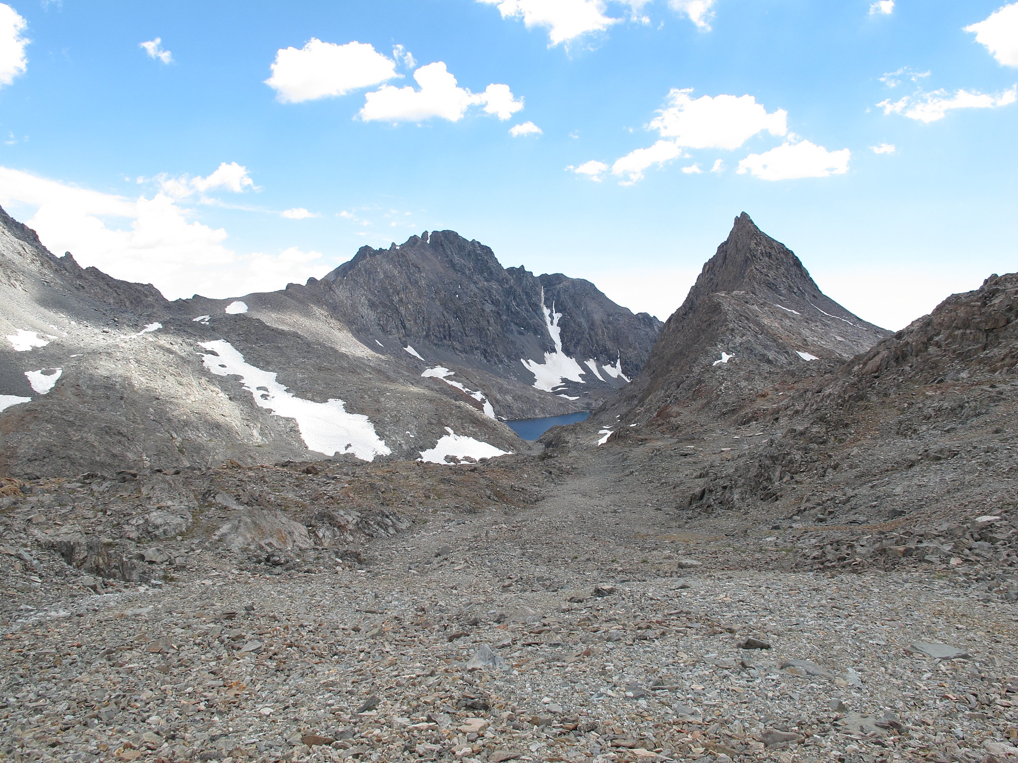
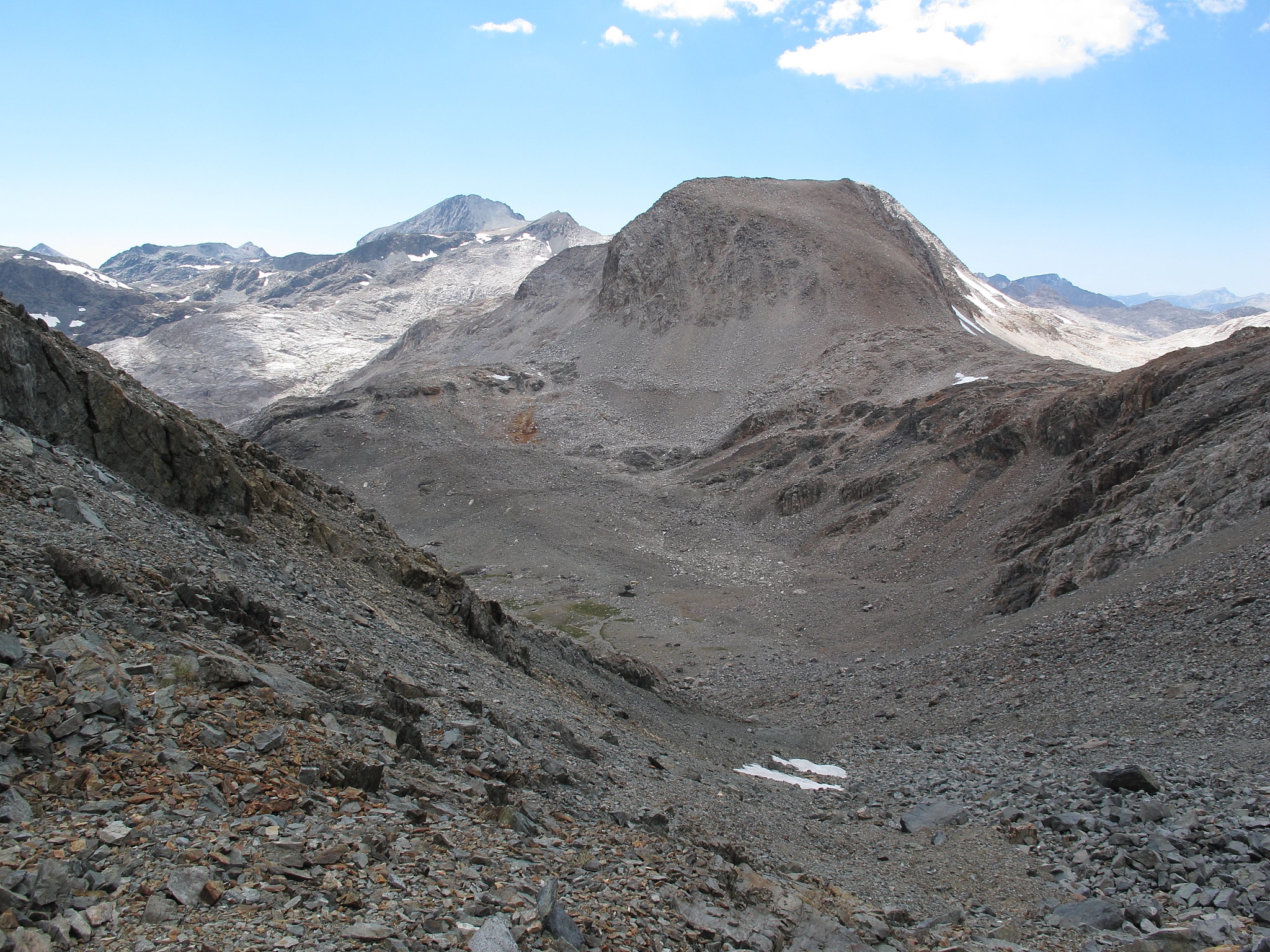
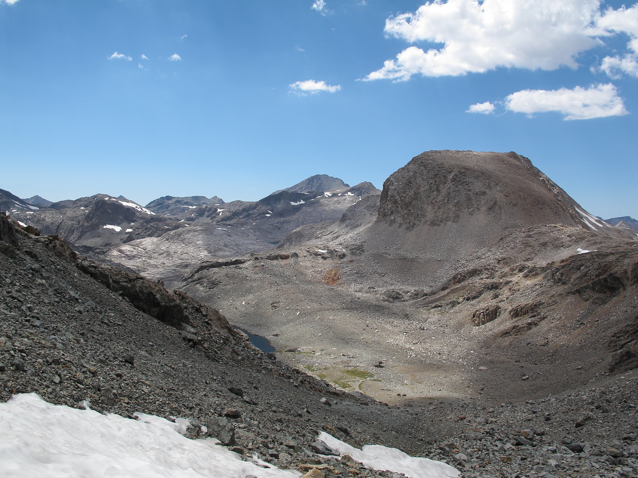
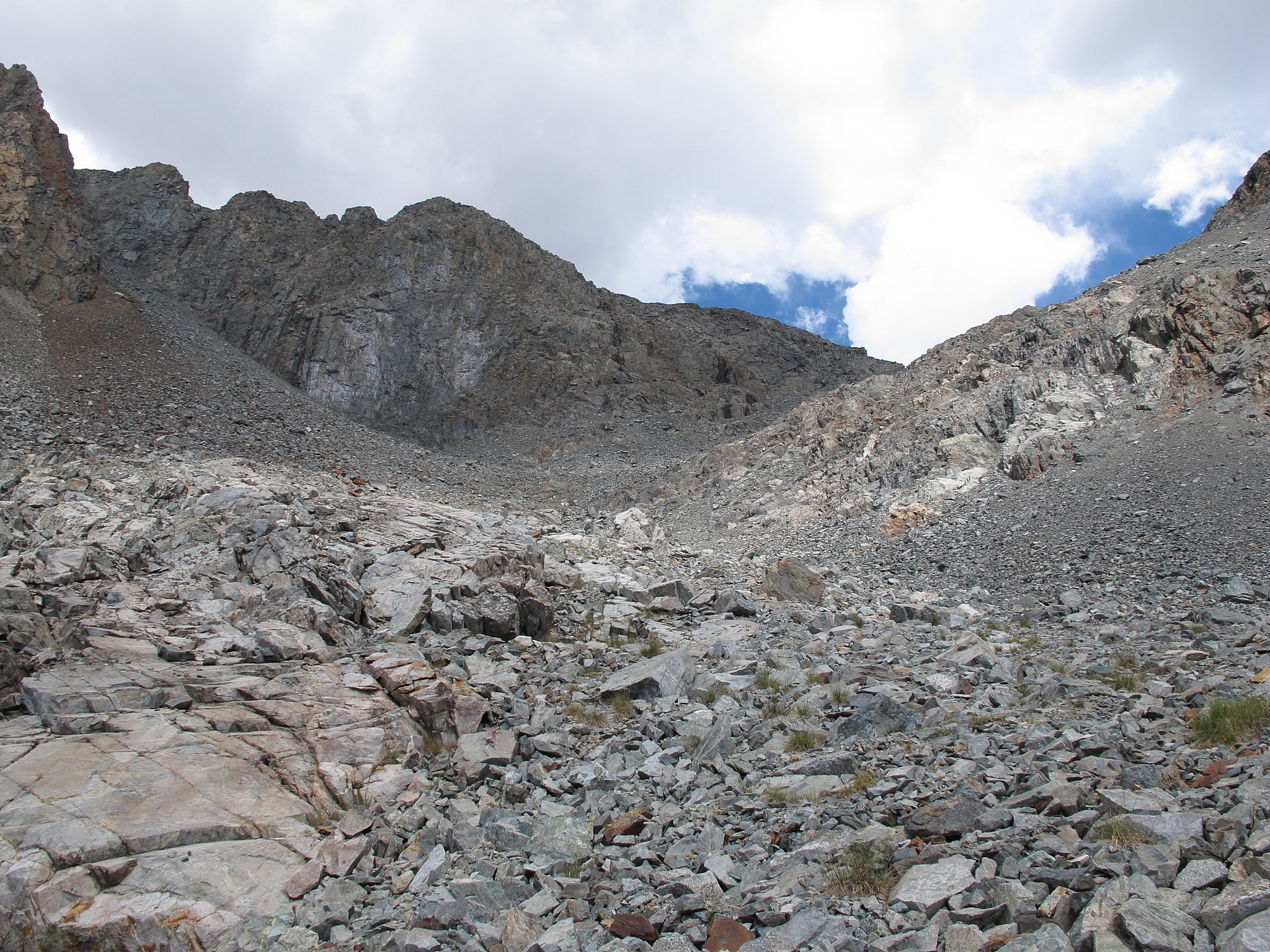
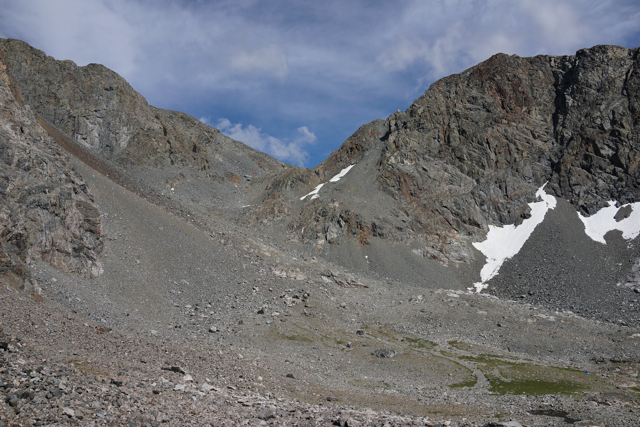
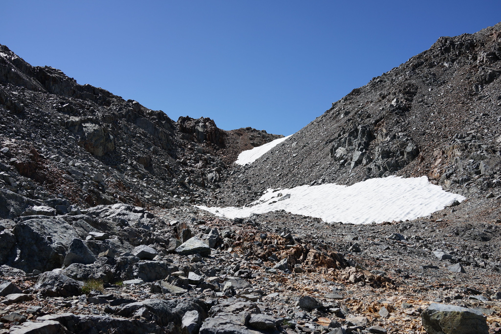
GENERAL OVERVIEW:This pass leads from Lake 11,828 which is Northeast of Charybdis in Ionian Basin into the drainage basin directly to the East that is South of Black Giant.
CLASS/DIFFICULTY: Class 2
LOCATION: Kings Canyon National Park East of Lake 11,828. HST Map
ELEVATION: 12,621
USGS TOPO MAP (7.5'): Mt. Goddard
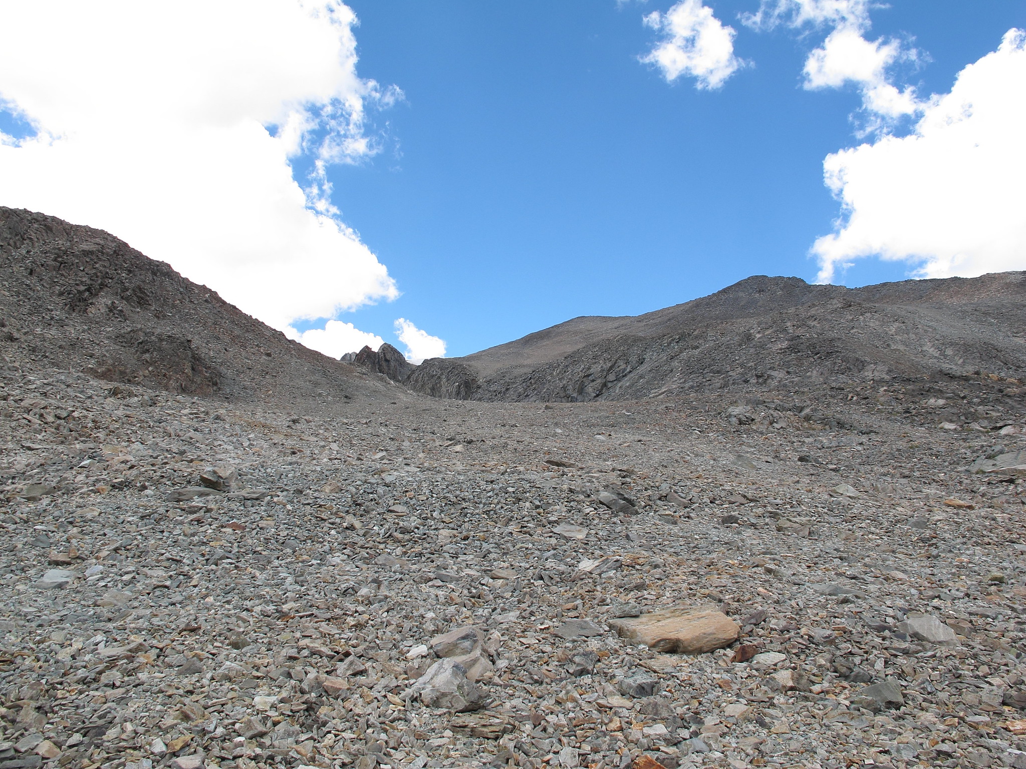
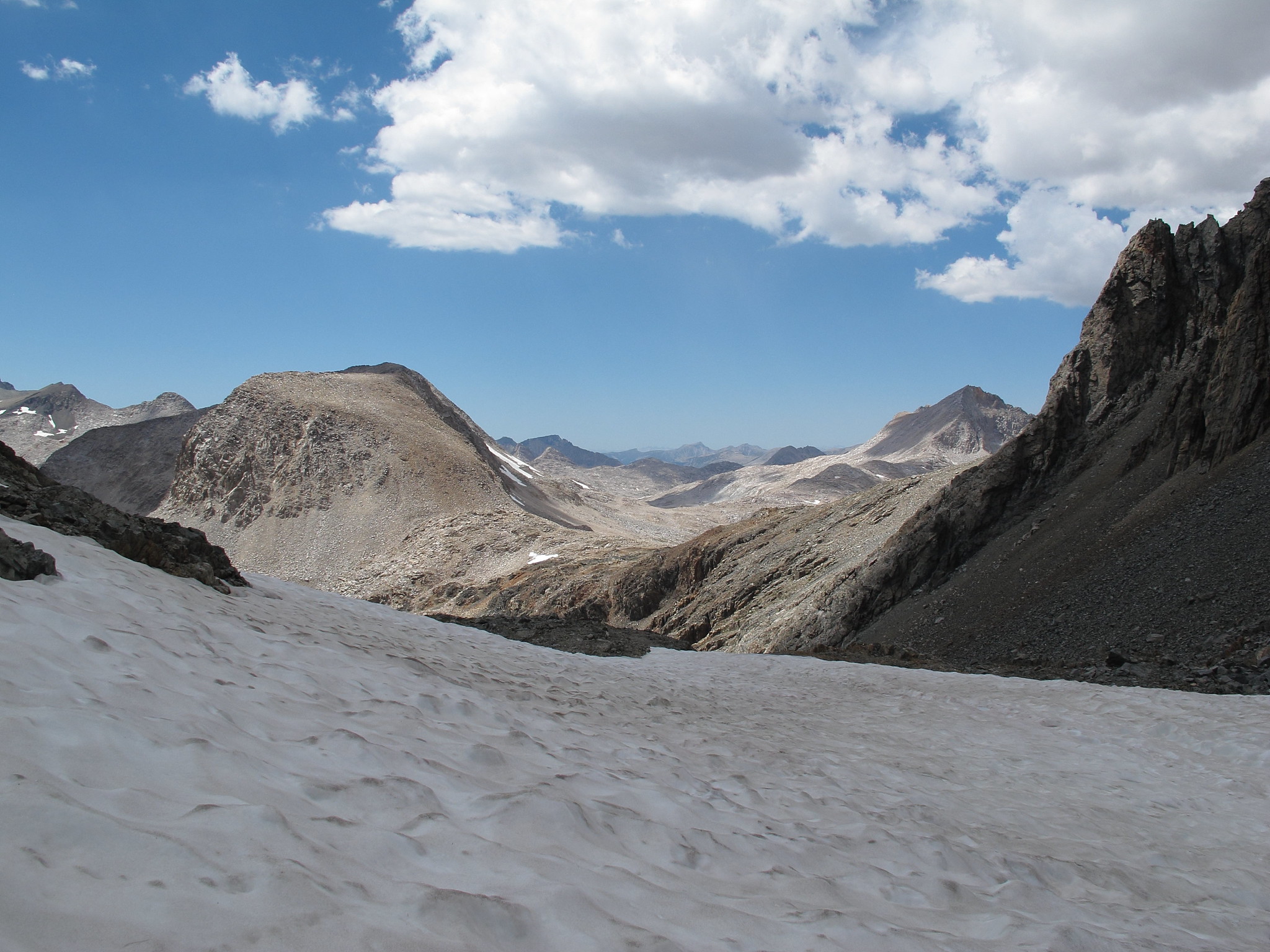
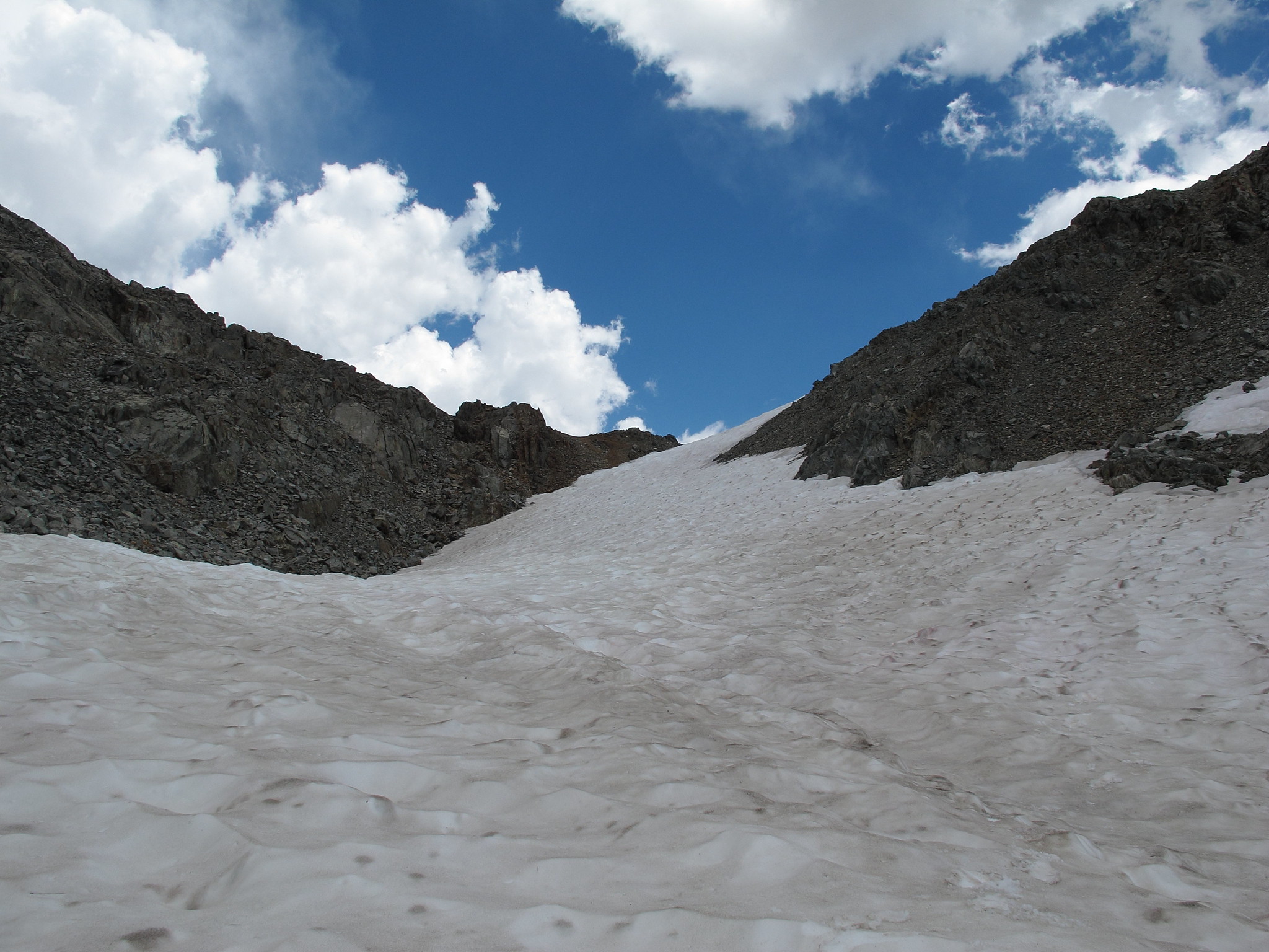
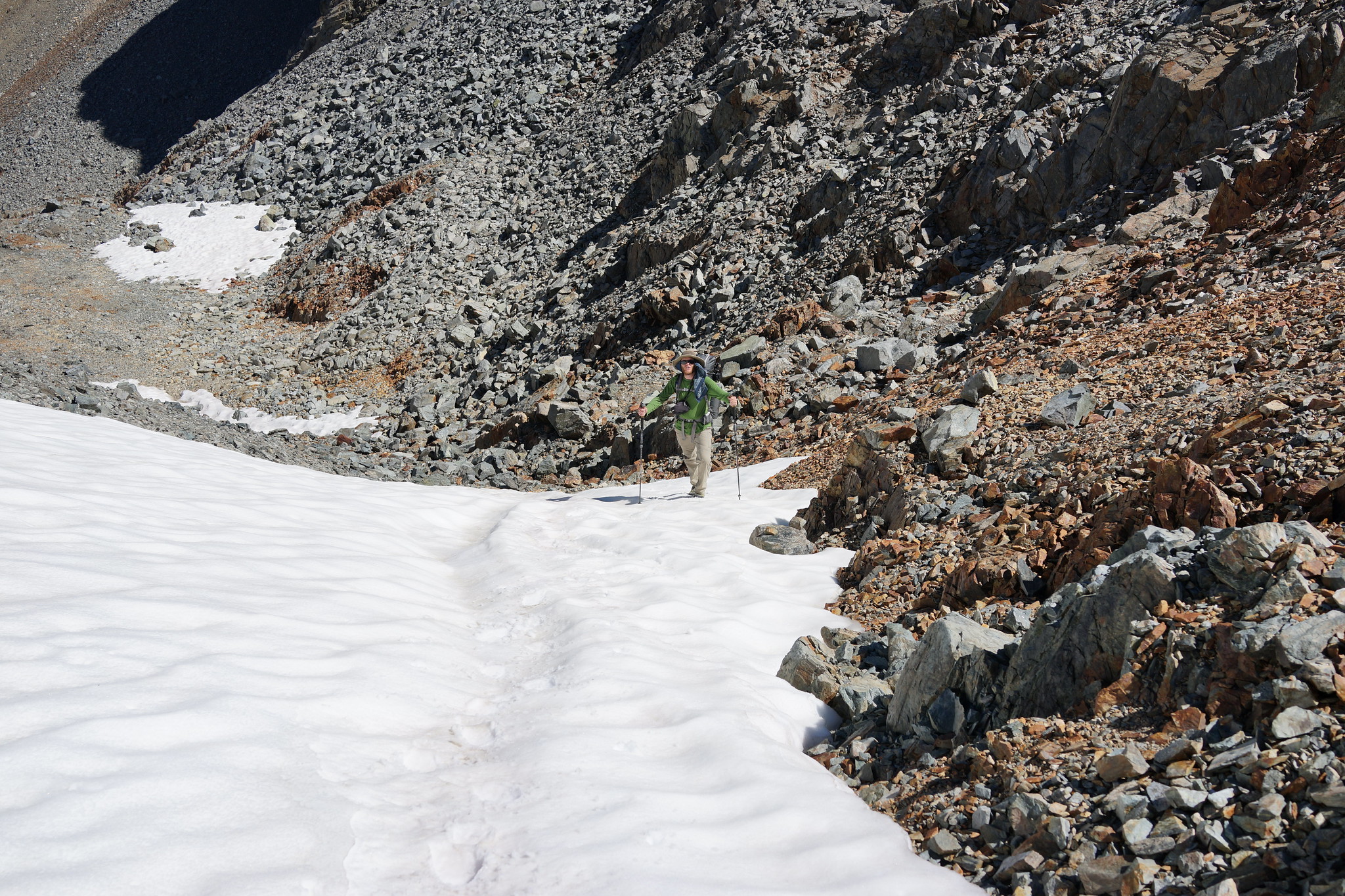
ROUTE DESCRIPTION: The North Side of this pass is relatively easy with very stable rock that is mostly talus to small small boulders. There is a permanent snow field at the very top which was very short and the angle is not steep.
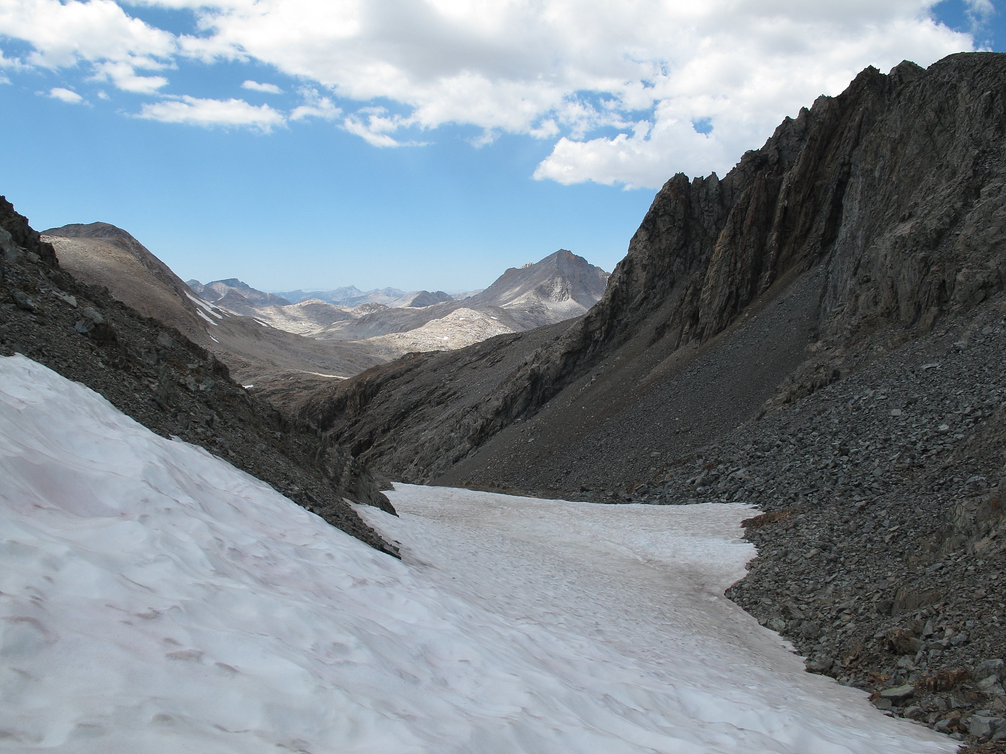
The South side of this pass is even easier and is literally a Class 1 slope that is interspersed with small rocks and grass.
GENERAL OVERVIEW:This pass leads from Lake 11,828 which is Northeast of Charybdis in Ionian Basin into the drainage basin directly to the East that is South of Black Giant.
CLASS/DIFFICULTY: Class 2
LOCATION: Kings Canyon National Park East of Lake 11,828. HST Map
ELEVATION: 12,621
USGS TOPO MAP (7.5'): Mt. Goddard
ROUTE DESCRIPTION: The North Side of this pass is relatively easy with very stable rock that is mostly talus to small small boulders. There is a permanent snow field at the very top which was very short and the angle is not steep.
The South side of this pass is even easier and is literally a Class 1 slope that is interspersed with small rocks and grass.