White Pass
Posted: Sun Aug 30, 2015 10:46 am
TITLE: White Pass
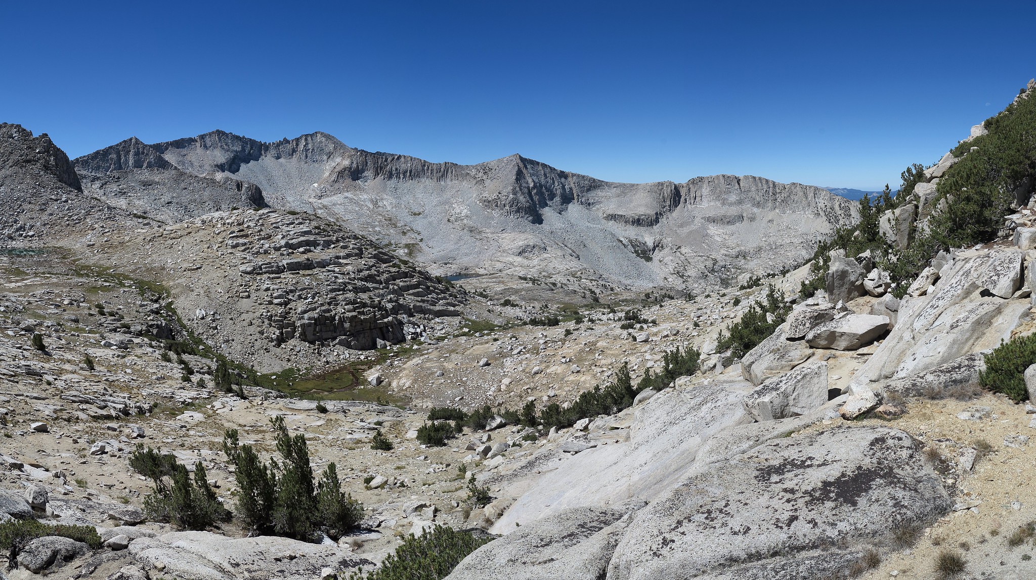
GENERAL OVERVIEW: This pass leads from Marion Lake to the South Fork Cataract Creek drainage basin in conjunction with Red Pass. This is on the Sierra High Route.
CLASS/DIFFICULTY: Class 2.
LOCATION: Kings Canyon National Park to the Northwest of Marion Peak. HST Map
ELEVATION: 11,694
USGS TOPO MAP (7.5'): Marion Peak
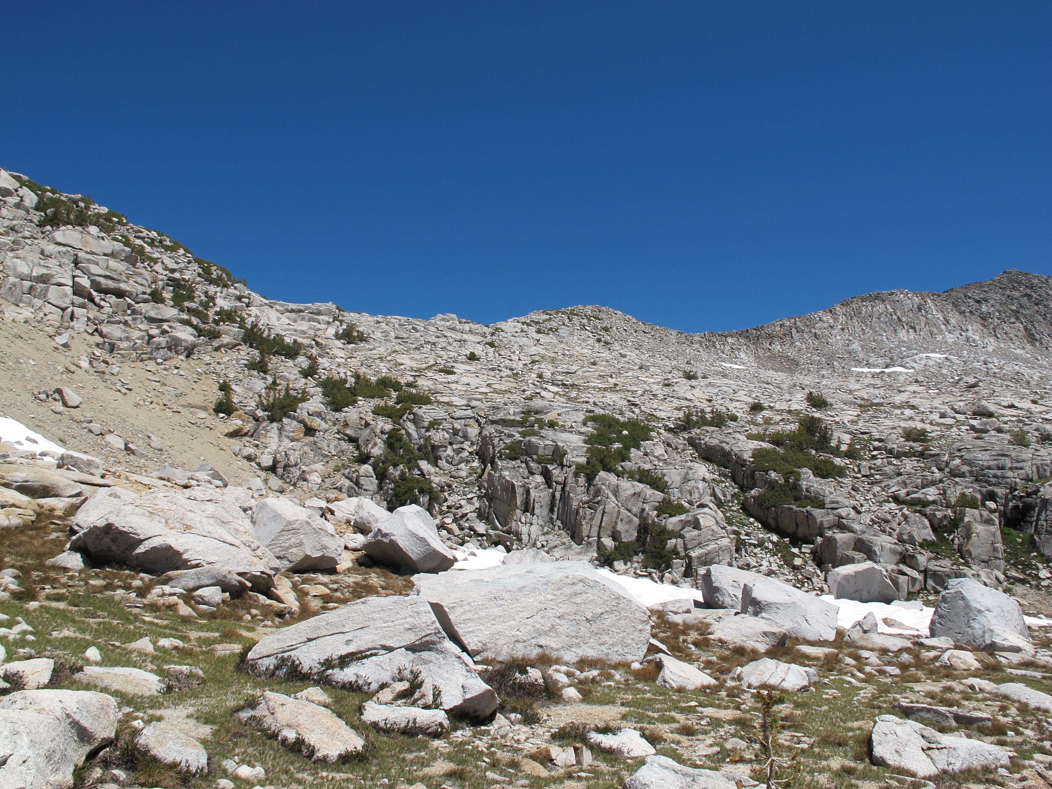
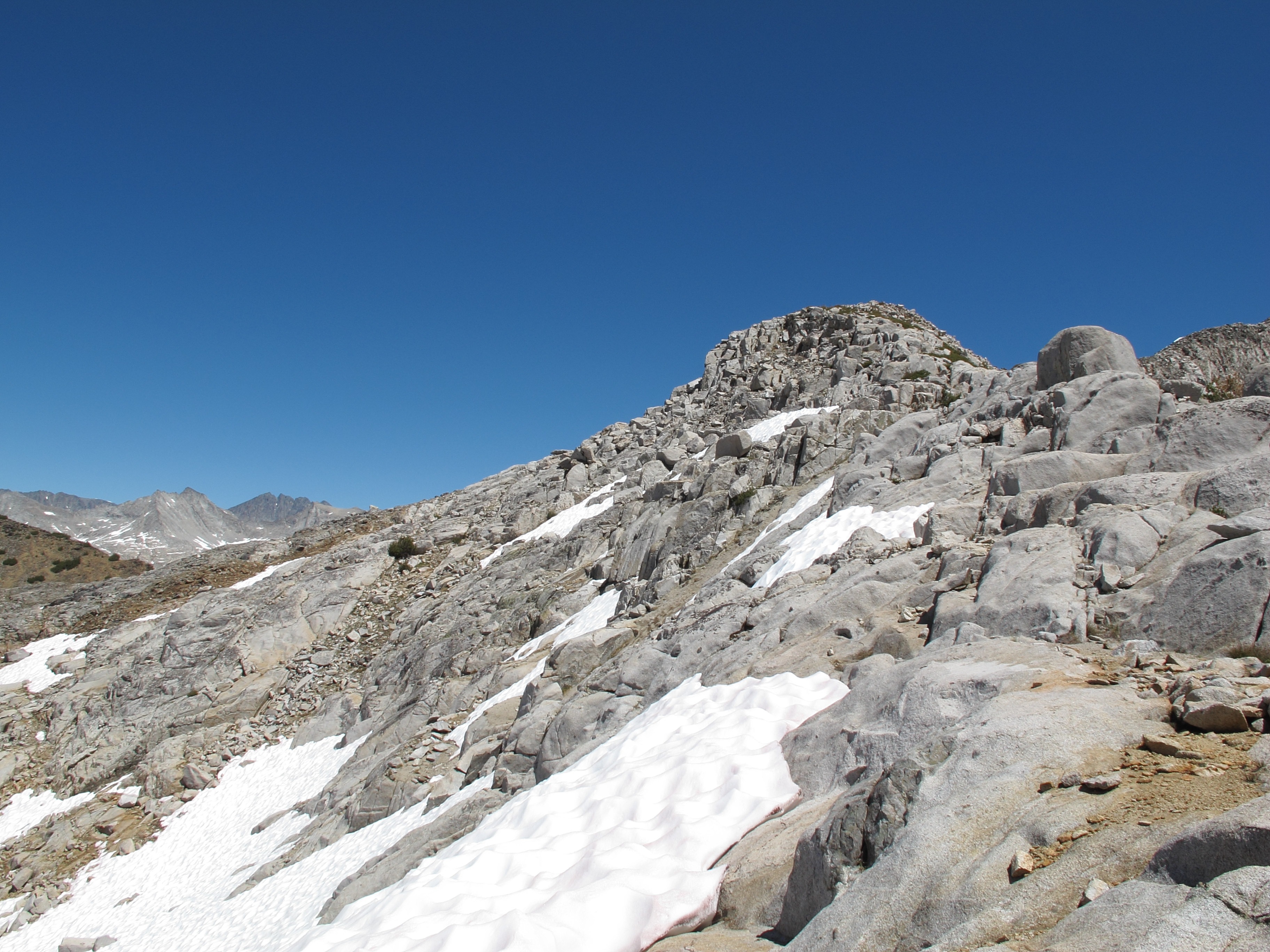
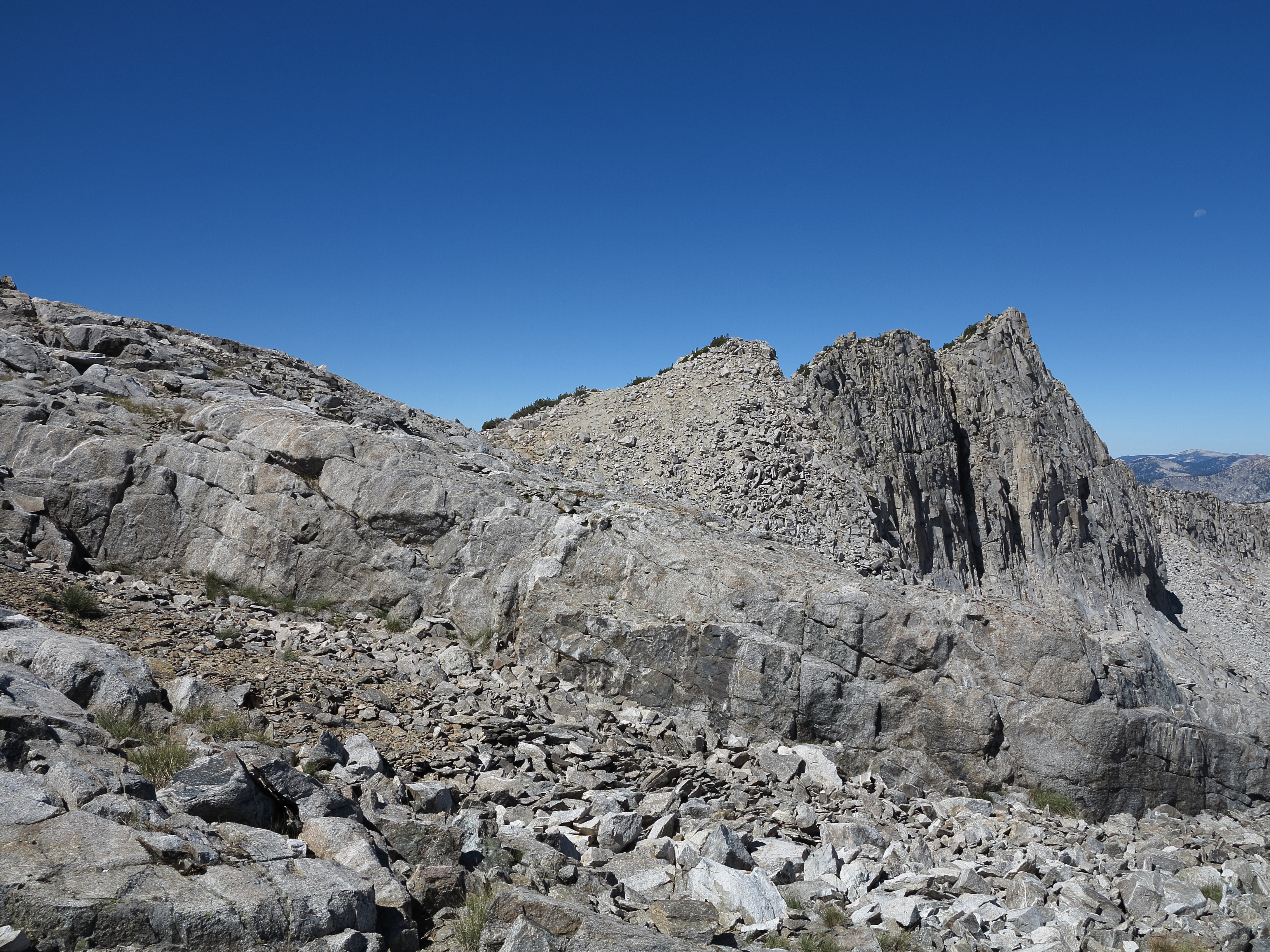
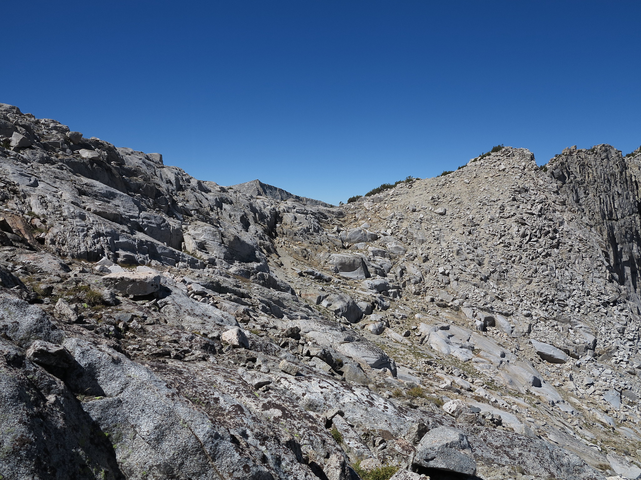
ROUTE DESCRIPTION: Both sides of this pass are easy Class 2. The terrain between Red Pass & White Pass is granite benches that are easy to traverse. One should not head too far up the granite benches after leaving Red Pass for unnecessary elevation will be gained. The East side of White Pass contains a short Class 3 section that can be bypassed by traversing further to the South & East along the ridge. The Class 3 though is not difficult and can be climbed directly by those that don't wish to bypass it. The West Side of the pass is sandy and a mixed bench slope until it follows the drainage a bit more steeply to the other side of the valley to the slope that rises up to Gray Pass.
GENERAL OVERVIEW: This pass leads from Marion Lake to the South Fork Cataract Creek drainage basin in conjunction with Red Pass. This is on the Sierra High Route.
CLASS/DIFFICULTY: Class 2.
LOCATION: Kings Canyon National Park to the Northwest of Marion Peak. HST Map
ELEVATION: 11,694
USGS TOPO MAP (7.5'): Marion Peak
ROUTE DESCRIPTION: Both sides of this pass are easy Class 2. The terrain between Red Pass & White Pass is granite benches that are easy to traverse. One should not head too far up the granite benches after leaving Red Pass for unnecessary elevation will be gained. The East side of White Pass contains a short Class 3 section that can be bypassed by traversing further to the South & East along the ridge. The Class 3 though is not difficult and can be climbed directly by those that don't wish to bypass it. The West Side of the pass is sandy and a mixed bench slope until it follows the drainage a bit more steeply to the other side of the valley to the slope that rises up to Gray Pass.