TR: Kearsarge Pass & Mt Bago 7/22/15
Posted: Wed Aug 05, 2015 11:38 pm
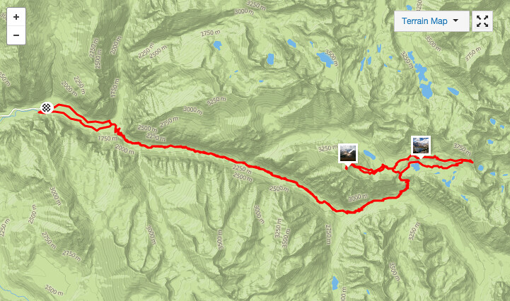
7/22/2015 Kearsarge Pass & Mt Bago from Road's End


Story:
My original target was to run to Kearsarge Pass, climb Mt Gould and traverse across the ridge to Mt Rixter. Maybe then Glen Pass and the Rae Lakes loop. The run started well enough, at 6am. The rain from the evening before turned the trail's sand into a nice running surface. I came across a big lanky black bear, 15 feet off the trail to my left. Then—scrambling noises to my right. Just off the trail, a baby bear had climbed a tree, and was grasping it, looking at me in the classic koala pose. Very photogenic. But I do have a little common sense. Sorry, no photos; you'll have to use your imagination.
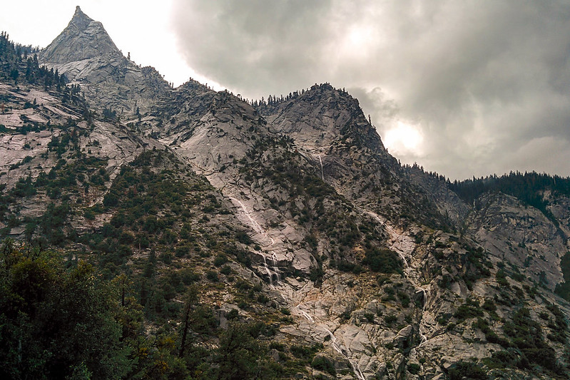
The Sphinx
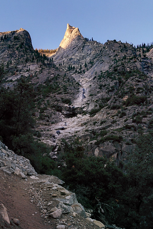
Going up. Notice that the stream is barely flowing…
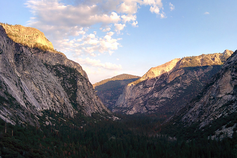
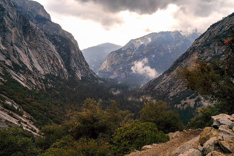
View back toward the canyon
The ferns along the trail were soaking wet, roughly between miles 5 and 8.
Mist rising from the meadow as the sun first hits
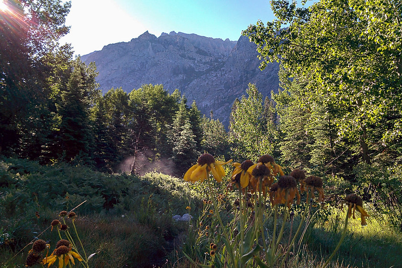
East Vidette
Every time I'm here, I take this same photo
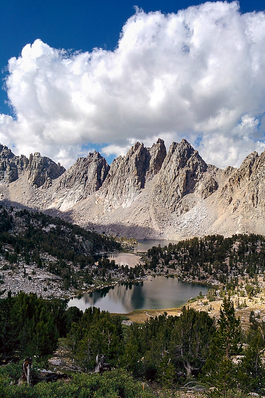
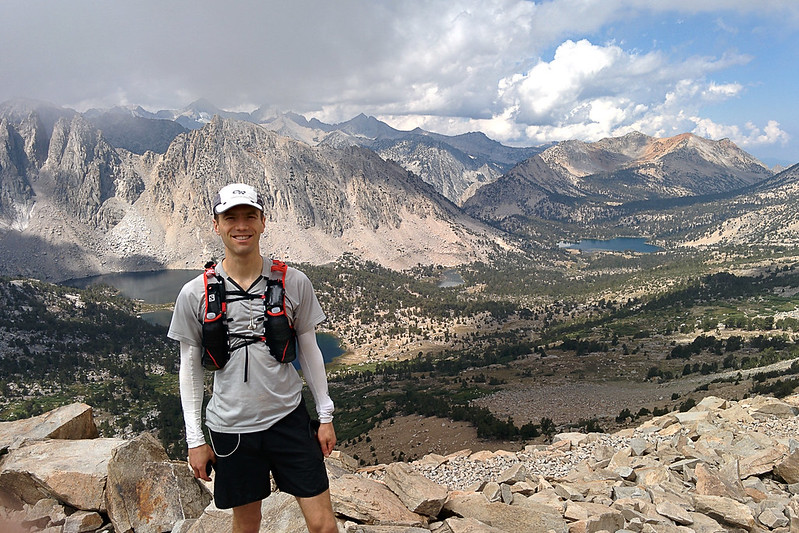
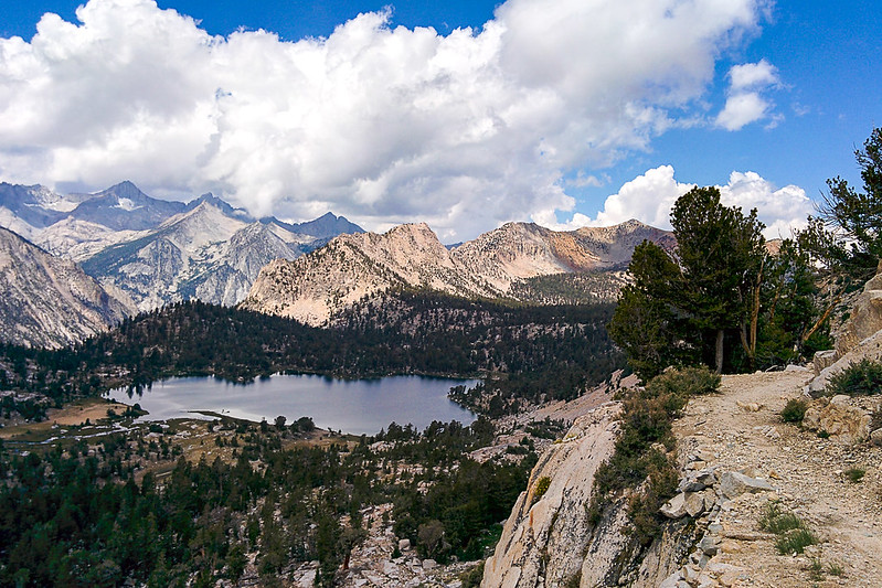
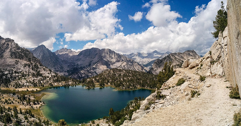
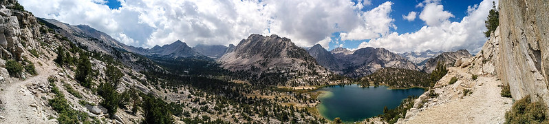
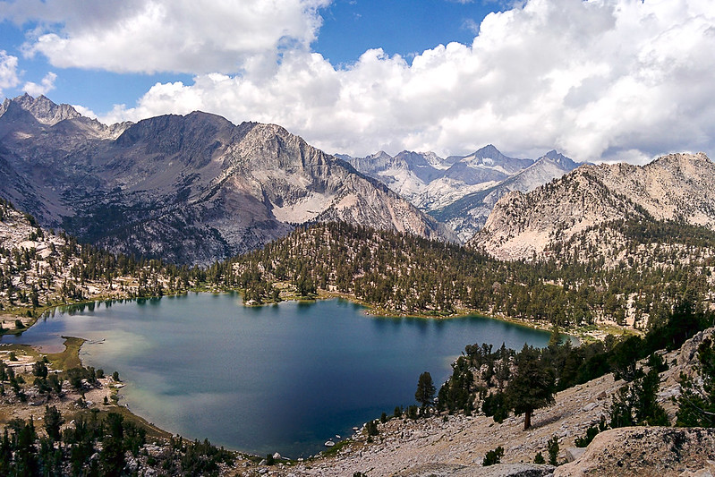
Kearsarge Lakes
University Peak from Kearsarge Pass

I took the lower trail to Kearsarge Pass. But at the pass the clouds covered everything. There wasn't much point in climbing Gould in the clouds, and they would make routefinding the traverse to Rixter difficult. So I turned back, taking the higher trail. Wow!
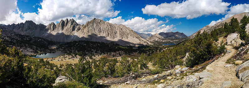
Awesome trail
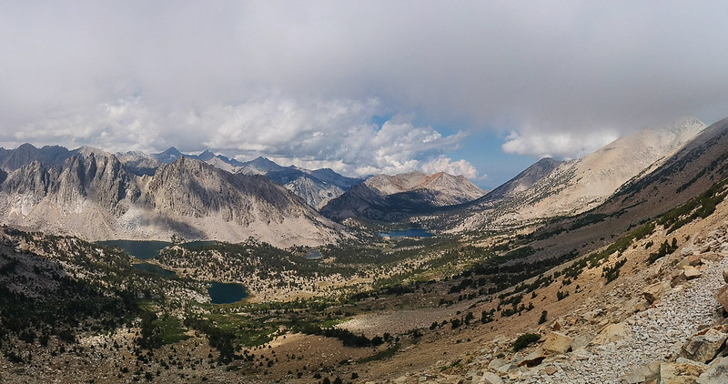


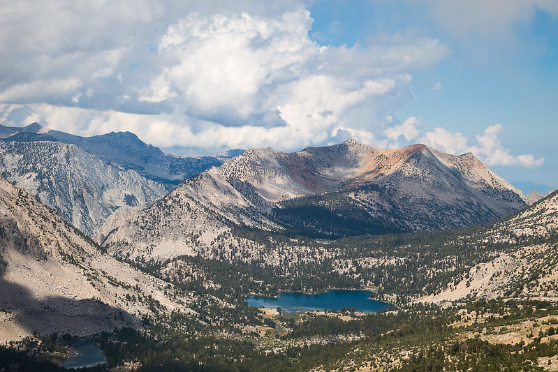
Bullfrog Lake
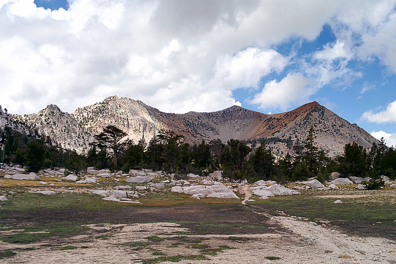
I decided instead to climb Mount Bago. Basically, go from the bowl up to the northern ridge (red-orange in the pictures), then walk up the ridge to the summit.
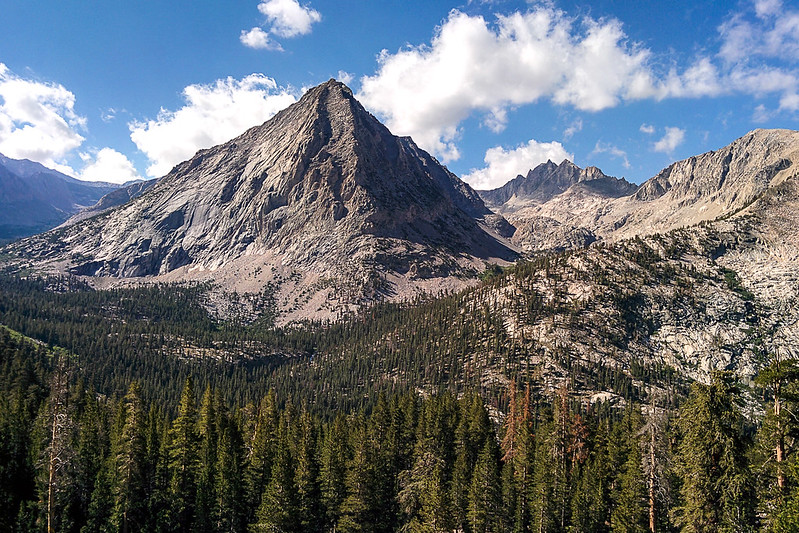
Target: Mt Bago

Getting there…
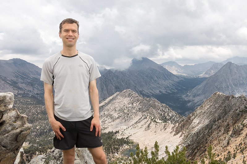
Woot!

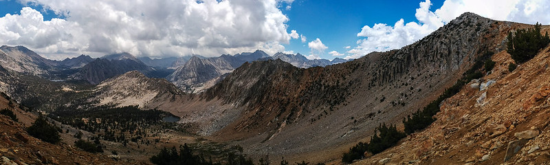
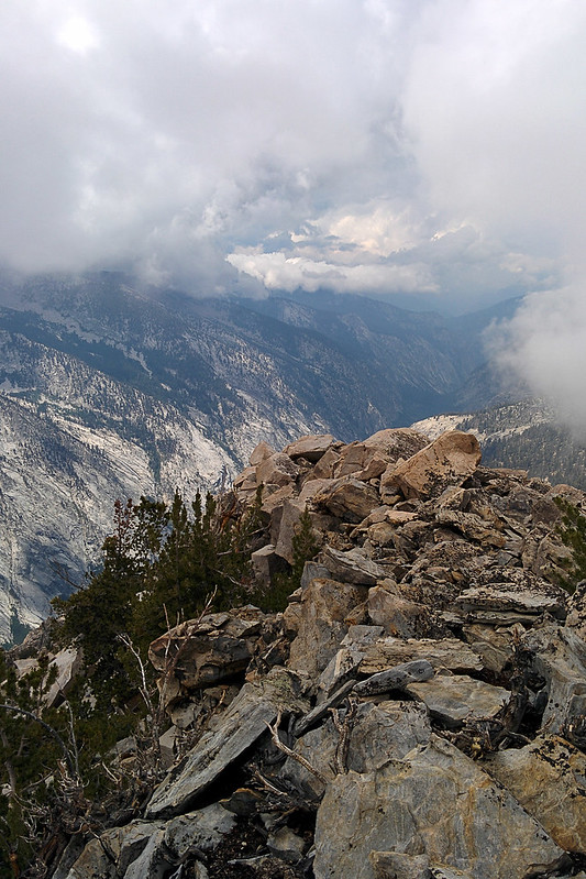
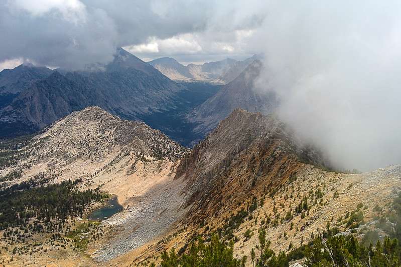
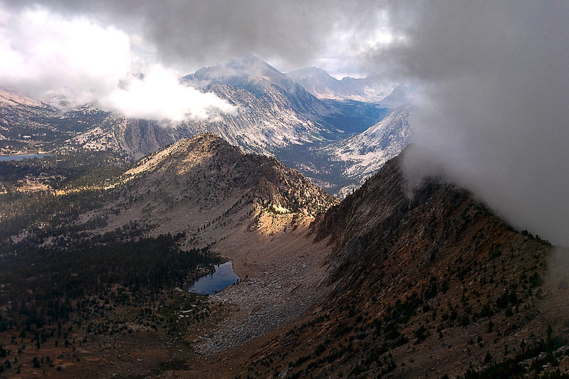
I hung out on the peak for a long time. The views east toward Kearsarge were fantastic, even if clouds obscured the other directions.
View back toward Kearsarge
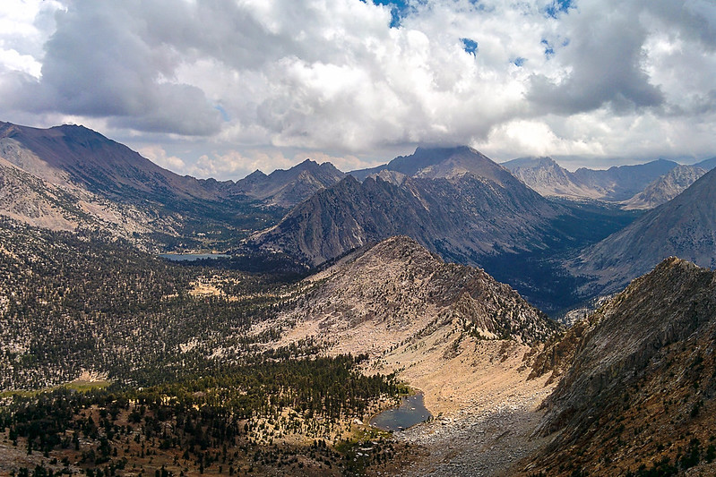
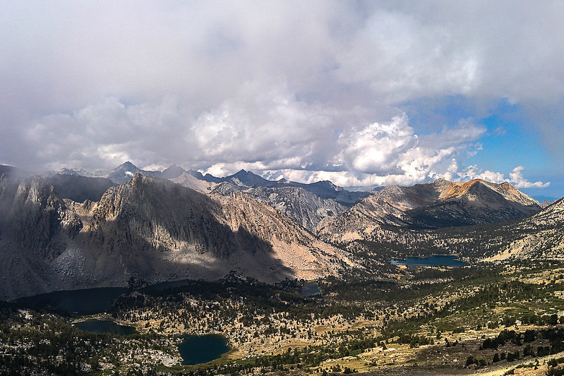
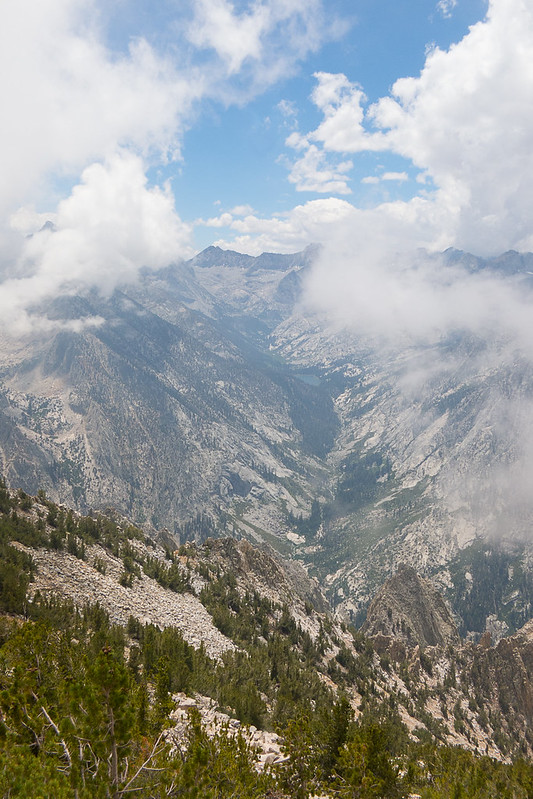
View toward King's Canyon
Views toward East Lake
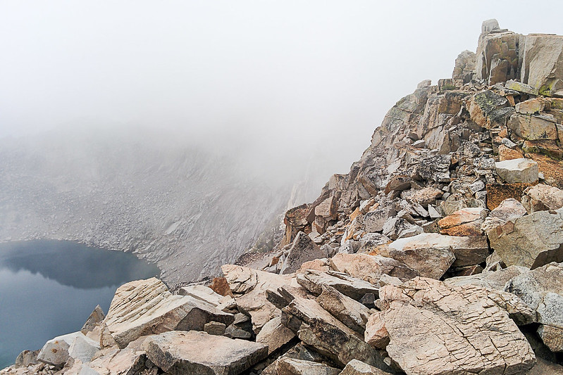
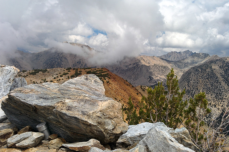
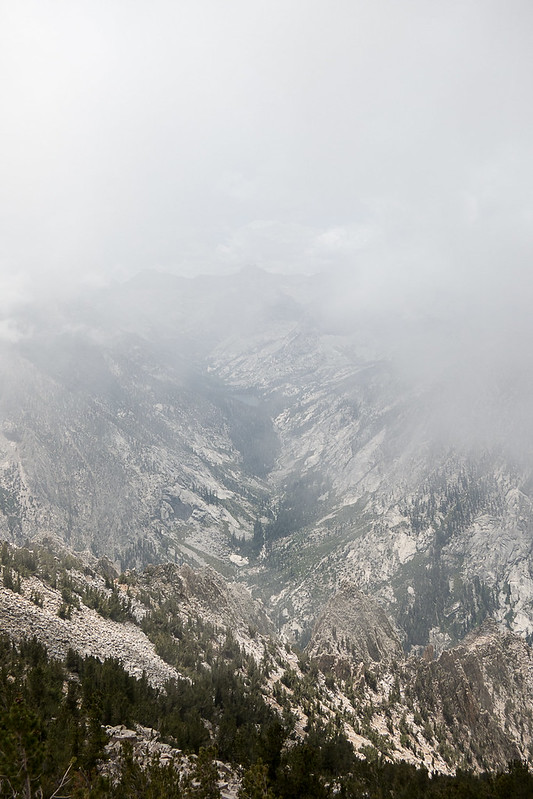
You can see the problem…
Clouds blowing in
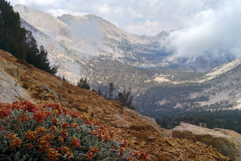
Skypilot
As clouds overtook the summit, I headed down. The rain held off until I was just above Lower Vidette Meadow, but then it rained, and it rained hard, for most of the way down. It was warm rain, so I didn't bother with my jacket. I got soaked, completely drenched. The trail was a river, which made for tricky footing.
But the rain stopped, mostly, in time for me to photograph the Sphinx again.
The Sphinx
Tons of water!
I took the southern side trail back to Road's End. It is a bit over half a mile longer, but is very pretty, and is mostly runnable.
I got back early. It was a shorter day than I'd planned—38 miles, mostly runnable—but you can't control the weather. I was glad to have gotten to see the Bullfrog and Kearsarge Lakes area.


Story:
My original target was to run to Kearsarge Pass, climb Mt Gould and traverse across the ridge to Mt Rixter. Maybe then Glen Pass and the Rae Lakes loop. The run started well enough, at 6am. The rain from the evening before turned the trail's sand into a nice running surface. I came across a big lanky black bear, 15 feet off the trail to my left. Then—scrambling noises to my right. Just off the trail, a baby bear had climbed a tree, and was grasping it, looking at me in the classic koala pose. Very photogenic. But I do have a little common sense.
The Sphinx
Going up. Notice that the stream is barely flowing…
View back toward the canyon

The ferns along the trail were soaking wet, roughly between miles 5 and 8.
Mist rising from the meadow as the sun first hits

East Vidette
Every time I'm here, I take this same photo

Kearsarge Lakes

University Peak from Kearsarge Pass


I took the lower trail to Kearsarge Pass. But at the pass the clouds covered everything. There wasn't much point in climbing Gould in the clouds, and they would make routefinding the traverse to Rixter difficult. So I turned back, taking the higher trail. Wow!
Awesome trail


Bullfrog Lake

I decided instead to climb Mount Bago. Basically, go from the bowl up to the northern ridge (red-orange in the pictures), then walk up the ridge to the summit.
Target: Mt Bago


Getting there…

Woot!


I hung out on the peak for a long time. The views east toward Kearsarge were fantastic, even if clouds obscured the other directions.
View back toward Kearsarge

View toward King's Canyon

Views toward East Lake
You can see the problem…
Clouds blowing in


Skypilot

As clouds overtook the summit, I headed down. The rain held off until I was just above Lower Vidette Meadow, but then it rained, and it rained hard, for most of the way down. It was warm rain, so I didn't bother with my jacket. I got soaked, completely drenched. The trail was a river, which made for tricky footing.
But the rain stopped, mostly, in time for me to photograph the Sphinx again.
The Sphinx
Tons of water!


I took the southern side trail back to Road's End. It is a bit over half a mile longer, but is very pretty, and is mostly runnable.

I got back early. It was a shorter day than I'd planned—38 miles, mostly runnable—but you can't control the weather. I was glad to have gotten to see the Bullfrog and Kearsarge Lakes area.