Member descriptions, photos, and map locations of Cross Country Passes in the High Sierra. This forum is for information only - discussions should be kept in the appropriate categories. This forum is a component of the HST Map. We need your help to complete the database, so please contribute!
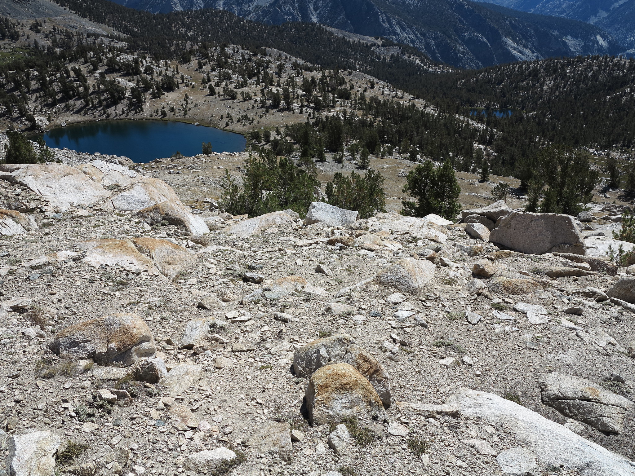
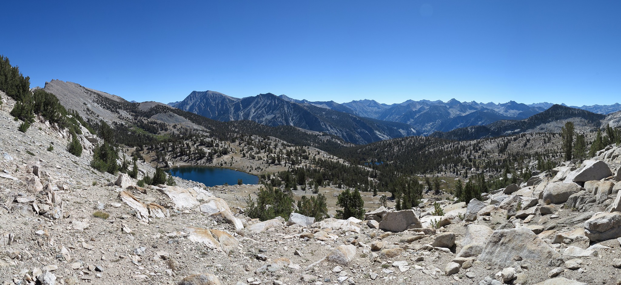
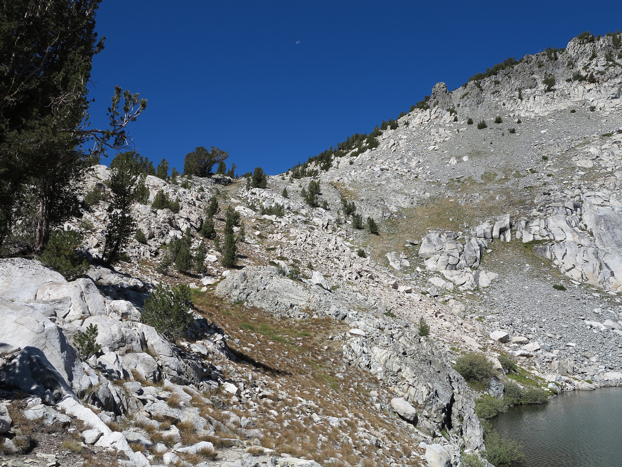
ROUTE DESCRIPTION: West to East - From the highest and largest Glacier Lake angle up a forested slope on it's NE shore. What begins as a some what steep yet easy terrain climb quickly begins to lessen it's grade amongst meadow covered slopes. Continue on this class 1 terrain to the top of the pass. The East side is scattered with some small rocks but is mostly sandy. Rarely does the terrain become class 2. A use trail can be followed down the small rib that leads down to the first of the lakes here.