TITLE: Rambaud Pass
GENERAL OVERVIEW: This pass leads from the lakes below Mt. Woodworth on the Western side to the Rambaud Lakes North of the Devils Crags.
CLASS/DIFFICULTY: Class 2
LOCATION: Kings Canyon National Park on the Southeast ridge of Wheel Mountain. HST Map
ELEVATION: 11,487
USGS TOPO MAP (7.5'): North Palisade
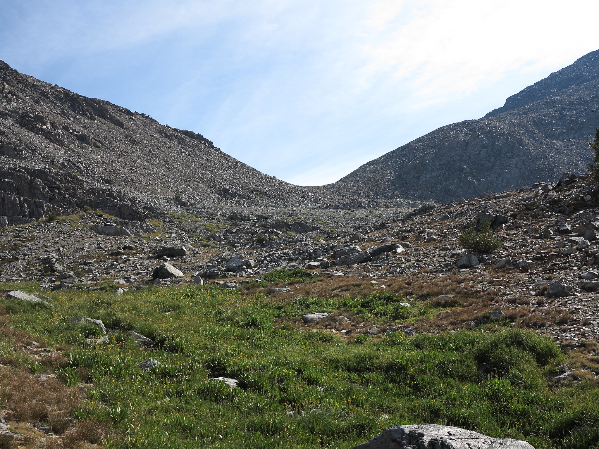
ROUTE DESCRIPTION: The Western side of this pass is easy with some talus and granite benches leading to the top. Warning: Reaching this pass from the western side would most likely entail climbing up from Goddard Creek. I can not recommend this route as it is horribly long, steep, hot, and choked full of brush in many areas. Rogue and I encountered a massive amount of oak in the lower sections which impeded progress substantially. Staying on the North side of the creek would have less brush but still entails an awful climb of 4000 vertical feet just to the lakes below the pass.
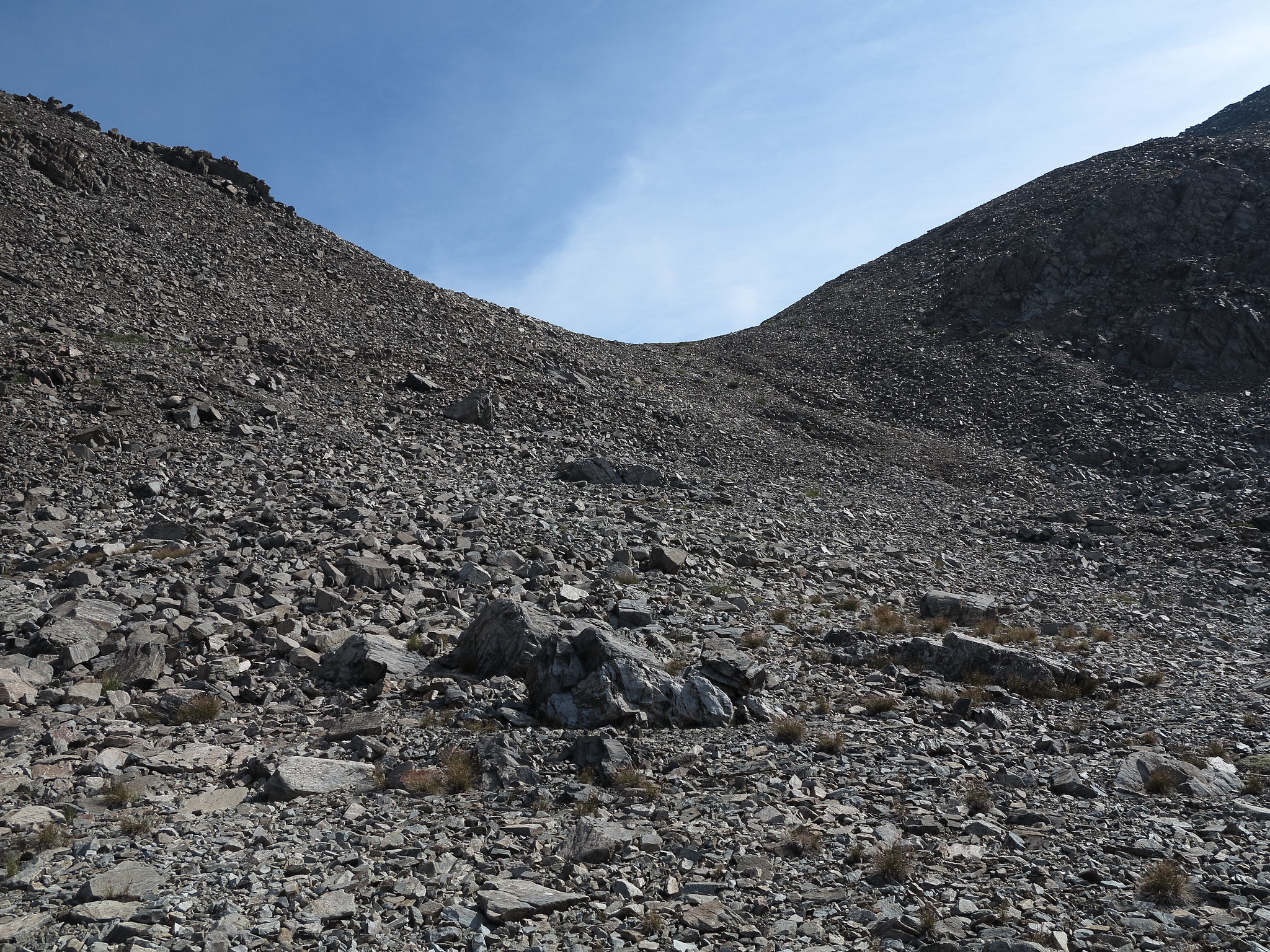
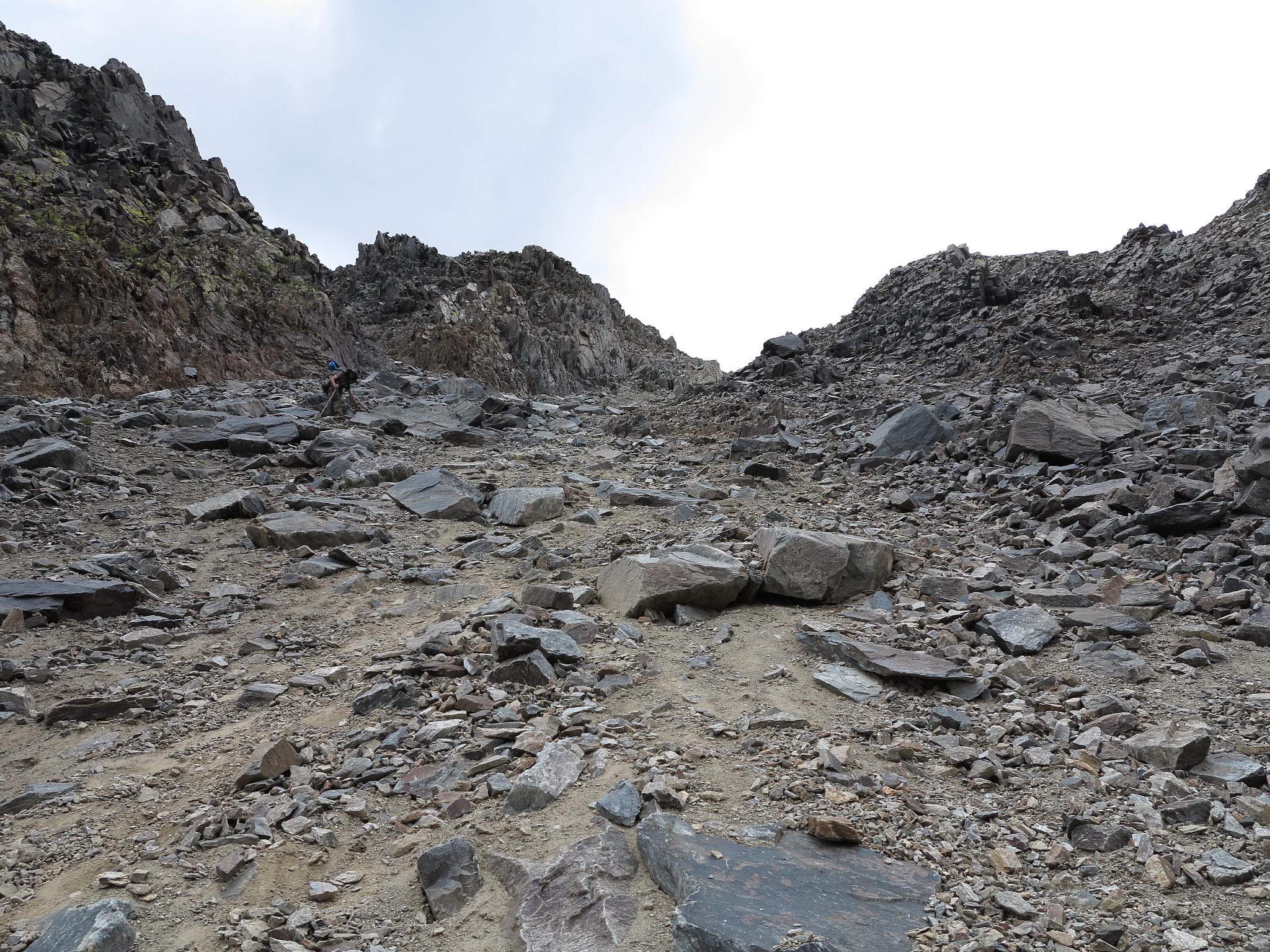
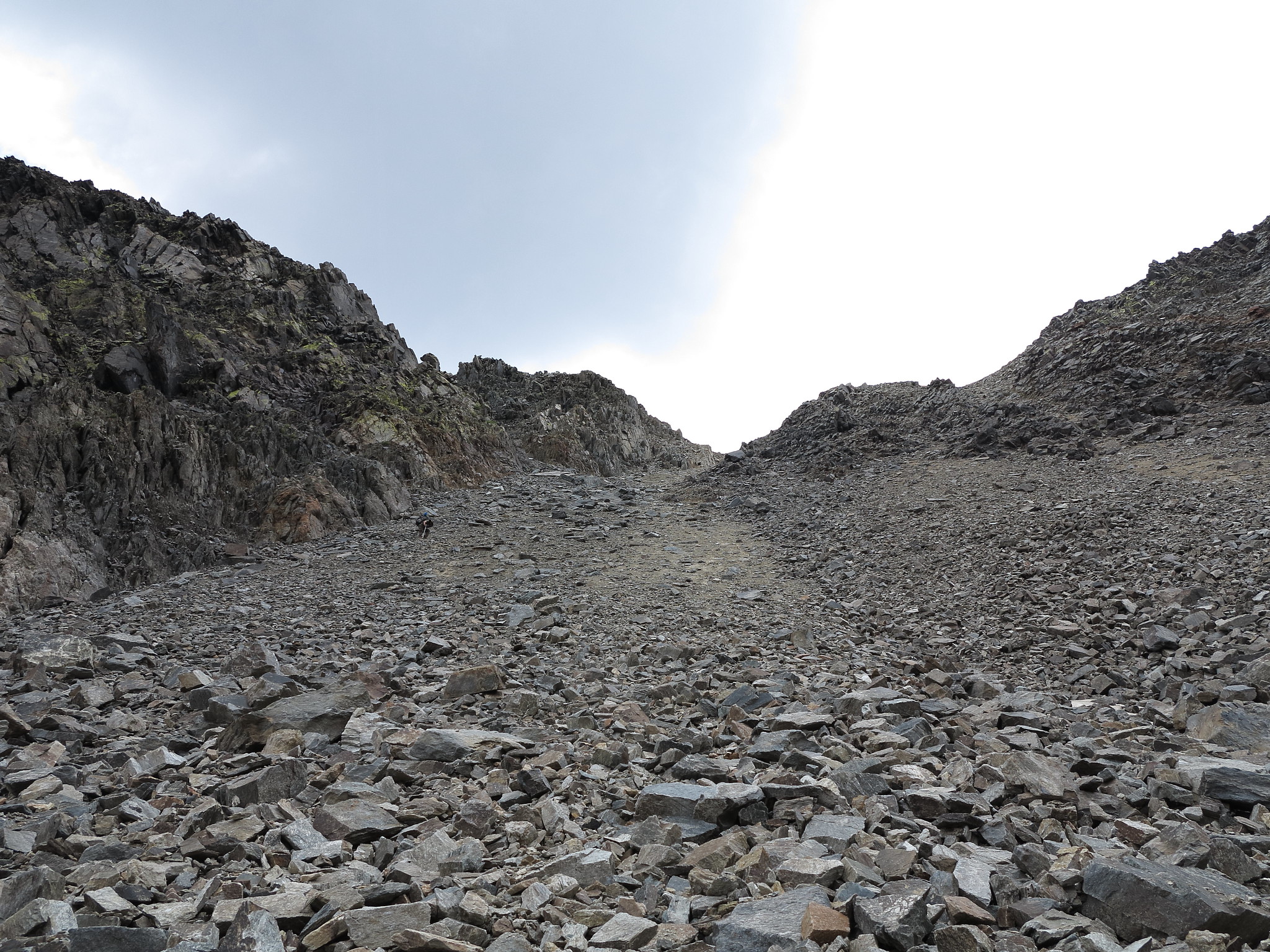
The Eastern side of this pass is not for the faint of heart. It is very steep and the rock is loose in many areas. It is reminiscent of the grade on Harrison Pass except it is not sand but a lot of loose rock. The top part of the pass is the steepest and has semi-hard packed dirt which essentially translates to sliding on it for a part of the ways. Extreme care must be taken if several members are in the party and are going up or down this side of the pass because of the high potential of rock slides/falls. I knocked several slides loose while on it. Keeping distance is an absolute must. During a heavy snow year this pass would require an ice ax and potentially crampons depending on the condition of the snow. After the steepest section the grade lessens and the route goes through a massive boulder field which was stable for the most part but extremely unpleasant due to the varying sizes of the boulders. After the boulder field one drops down a slope to one of the Rambaud Lakes which is around 10,400 FT. Continue following the creek until reaching approximately the 10,000 FT level. At this point one contours around the hill side until a slope comes into view that is not narrow and has a fairly descent amount of conifers on it. Follow this slope all the way down to Grouse Meadow. This is to avoid descending Rambaud Creek due to the large amount of brush around it. DO NOT continue past the fairly large slope. This will cause you to end up above a narrow chute that may look like the slope you should be on. Rogue and I made this mistake and ended up having to backtrack to find the correct slope.
Rambaud Pass
-
alpinemike

- Topix Expert
- Posts: 437
- Joined: Thu Oct 13, 2011 12:00 pm
- Experience: Level 4 Explorer
- Location: Reno, NV
- Contact:
Rambaud Pass
You do not have the required permissions to view the files attached to this post.
Last edited by maverick on Thu Aug 28, 2014 11:56 am, edited 1 time in total.
Reason: titles highlighted
Reason: titles highlighted
Never put off a backpacking trip for tomorrow, if you can do it today...
Alpine Mike-
http://mikhailkorotkinphotography.com/" onclick="window.open(this.href);return false;
Alpine Mike-
http://mikhailkorotkinphotography.com/" onclick="window.open(this.href);return false;
-
RoguePhotonic

- Topix Fanatic
- Posts: 1693
- Joined: Thu Mar 24, 2011 9:52 am
- Experience: Level 4 Explorer
- Location: Bakersfield CA
- Contact:


Who is online
Users browsing this forum: No registered users and 14 guests