
I hiked the Rae Lakes Loop this weekend, counterclockwise. The backcountry conditions are excellent right now.
Snow Update: Glen Pass is navigable without an ice axe or crampons. The south side is totally clear of snow. The north side holds a 200 meter snow field across the switchbacks. It may look scary, but I think it's safer than it appears. The boot tracks across the snow are well-worn, and I was fine with trekking poles, running shoes, and a healthy dose of caution.
Mosquitos: I encountered light mosquito swarms in Vidette Meadow, and also along Woods Creek near the Muro Blanco intersection.
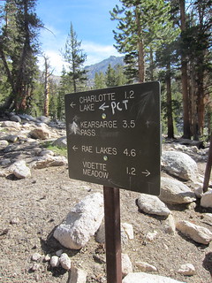
I hiked counterclockwise. On the first day, I climbed from Roads End to Vidette Meadow. On the second day, I crossed Glen Pass, enjoyed a swim in Rae Lakes, and then cruised down Woods Creek to Paradise Valley. On the third morning, I returned to Roads End. I encountered a handful of PCT and JMT thru-hikers, plus two fishing parties.
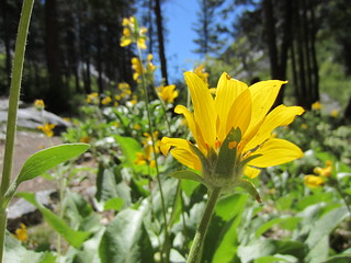
Wildflowers are blooming, just about everywhere along the Rae Lakes Loop.
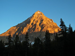
West Vidette Peak at Dusk:
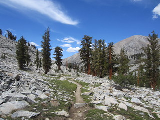
The conditions are great (and mostly snow-free) above 10,000 feet:
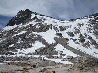
The South Side of Glen Pass:
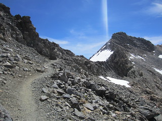
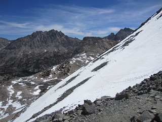
The North Side of Glen Pass (the boot tracks are quite good):
The North Side of Glen Pass, from below:
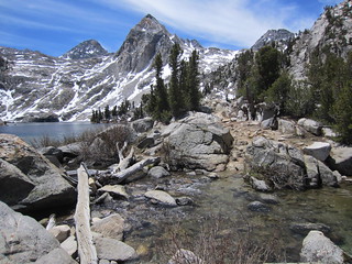
Rae Lakes Crossing:
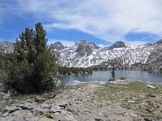
Arrowhead Lake:
A Healthy Juniper Grove:
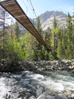
Woods Creek Bridge:
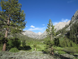
Castle Domes Meadow is just about perfect right now:
I posted more photos here:
http://www.flickr.com/photos/victorhans ... 931533107/" onclick="window.open(this.href);return false;


