TR North Lake to South Lake 8/17-8/24

If you've been searching for the best source of information and stimulating discussion related to Spring/Summer/Fall backpacking, hiking and camping in the Sierra Nevada...look no further!
Post Reply
User avatar
Ikan Mas
Topix Regular
Posts: 374
Joined: Tue Nov 10, 2009 9:43 pm
Experience: N/A

TR North Lake to South Lake 8/17-8/24

Post by Ikan Mas »

OK, this is the same North Lake to South Lake trek that everyone takes. There is one difference here, though, instead of leaving a car at each lake or hitching a ride on the road, we hiked over Table Mountain. So follow through, and you might see something a bit different.

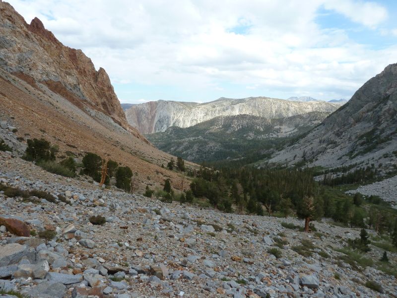
So we started out from North Lake on the afternoon August 17 under cloudy skies. Here is a photo looking back down the valley.
Image
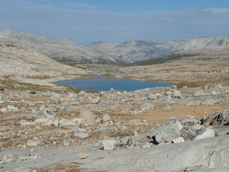
We stayed at Loch Leven, and then headed up to Piute Pass the next morning.
Image
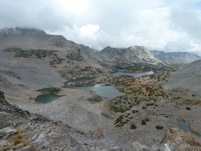
Looking out the west over Piute Pass
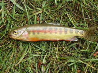
With rain pending, we pulled into Hutchison Meadow and set up camp. I spent the rest of the afternoon dodging showers and chasing these fellows
Image
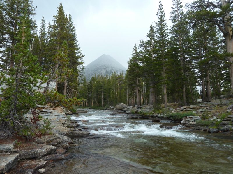
Here’s a look up Piute Creek to Pilot Knob
Image
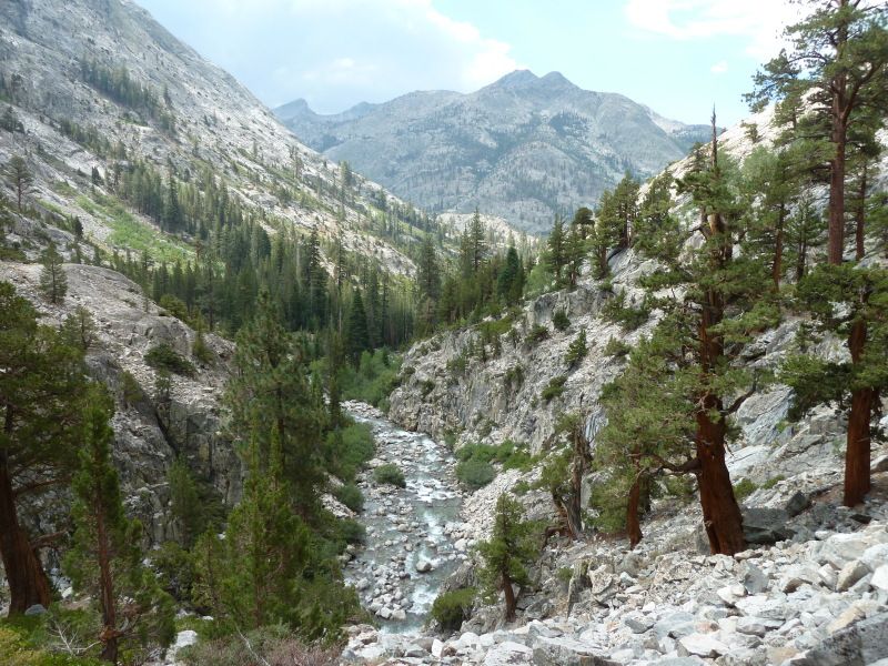
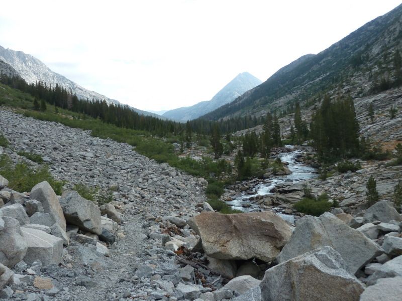
The next day, 8/19, we continued down the canyon
Image
Image
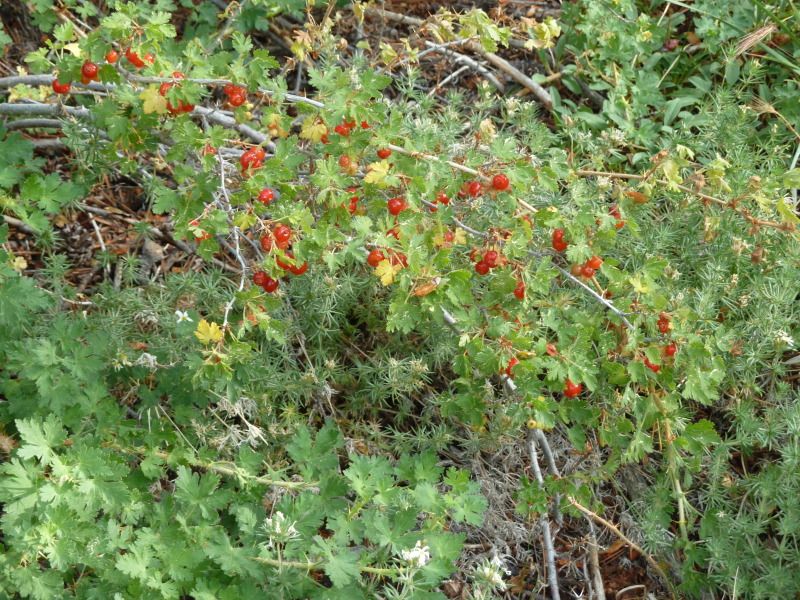
The currents were good in spots:
Image
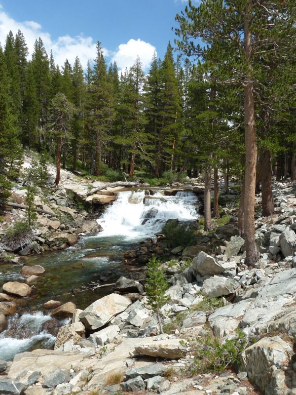
We came down to the PCT and then headed up to the Evolution Valley, passing these falls on the way up.
Image
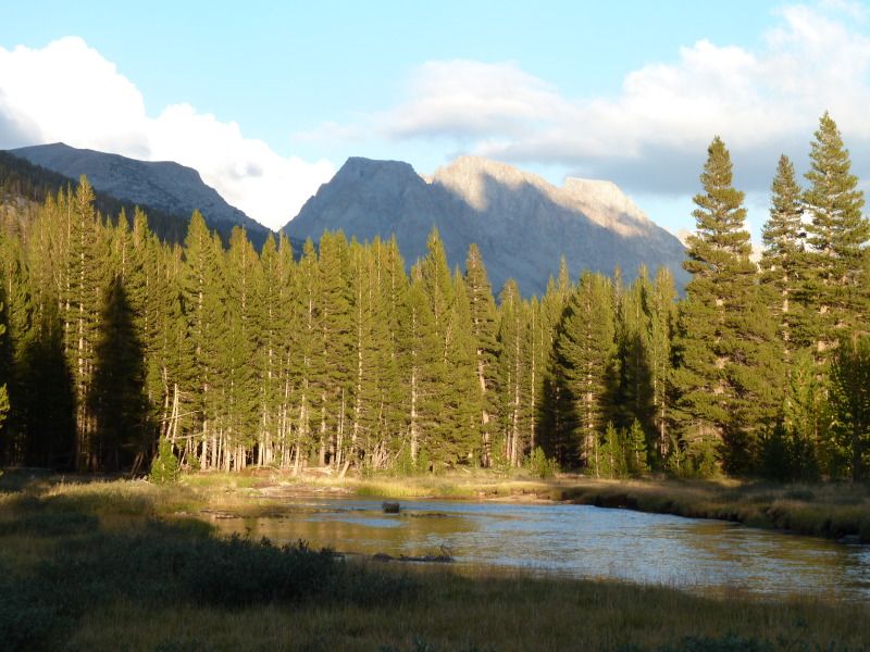
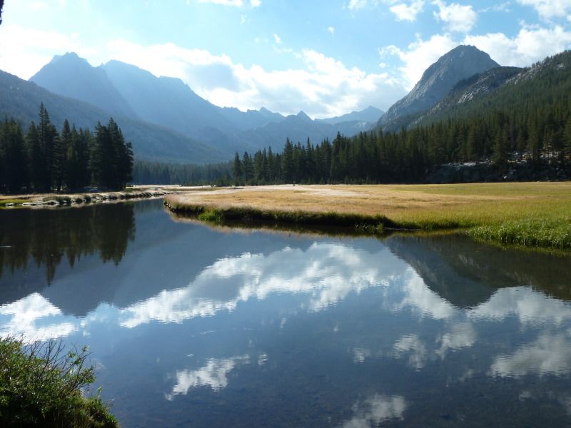
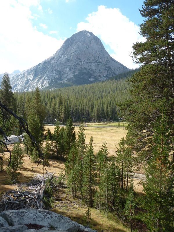
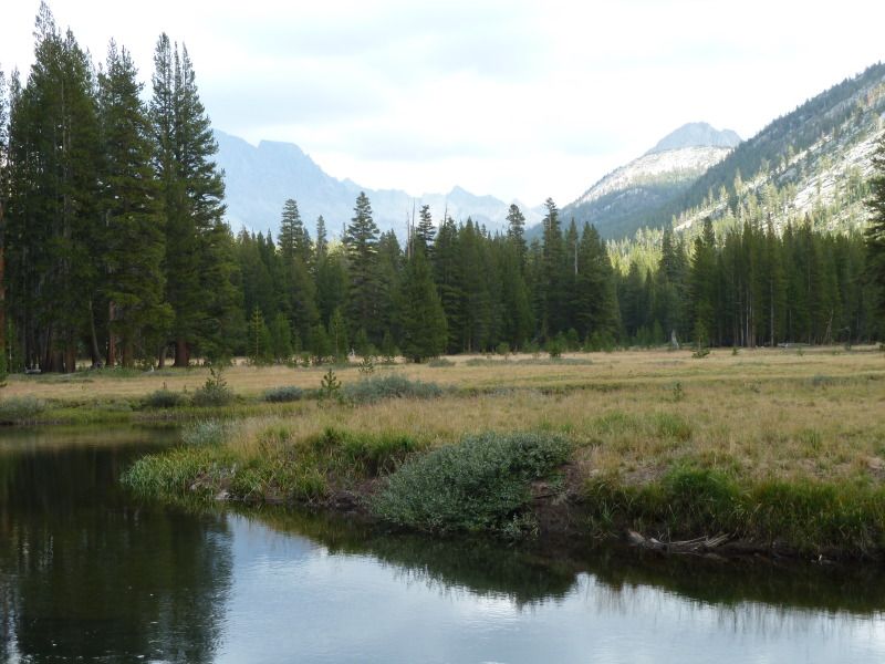
Evolution Meadows were worth the climb:
Image
Image
We found a good spot early afternoon and watched the thru hikers desperately searching for a place to park as the sun went down. We always made a point of knocking off around 2:00 so we could really enjoy the place we hiked to.
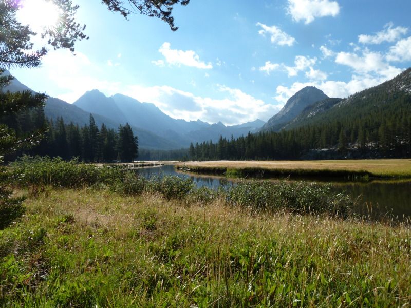
Next morning, 8/20 we continued up the Evolution Valley:
Image
Image
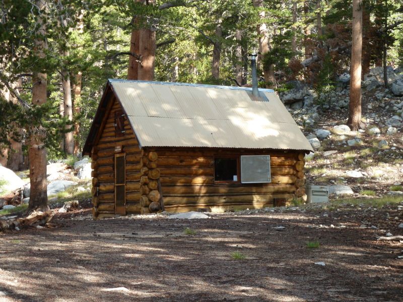
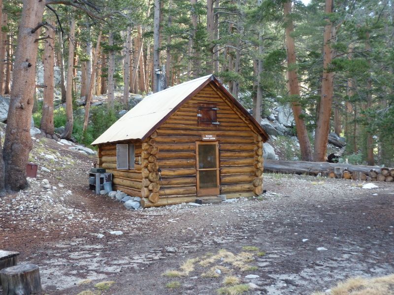
Passing a cabin that is quite familiar to a member here:
Image
Image
Image
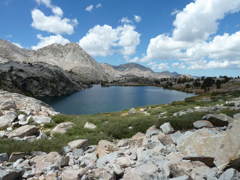
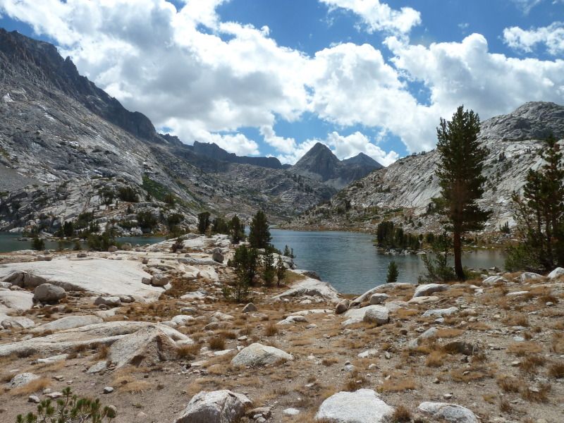
Finally, we came up to Evolution Lake:
Image
Image
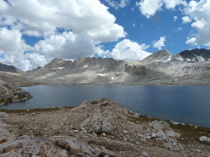
I wanted to stay and fish, but we needed to get up the trail a bit more to Wanda Lake.
Image
We found a nice camp a Wanda, off the lake and the trail, providing a great view.
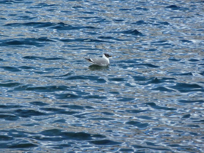
I wasn’t sure if there were fish in Wanda, so I rigged up and threw my iron. I watched this gull fishing and saw him catch something, a bit dark for a trout, but I thought that was a good sign.
Image
I continued working my way down to the outlet, looking for those elusive trout. Finally, when I got to the shallower water, I saw what the gull was “fishing” for: Tadpoles! Oh No! A new threat to the frog! Gulls! Well, I did see lots of tadpoles and frogs, so no fish. Wanda seems to be a froggy lake.
Next morning we headed up to Muir Pass, looking back a Wanda Lake
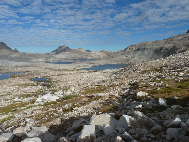
Image
Here is my trophy view of the Muir Hut
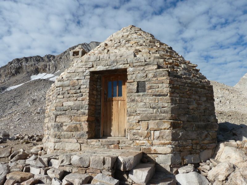
Image
Down, down, down, to Le Conte Canyon, the plunge began, passing Helen Lake:
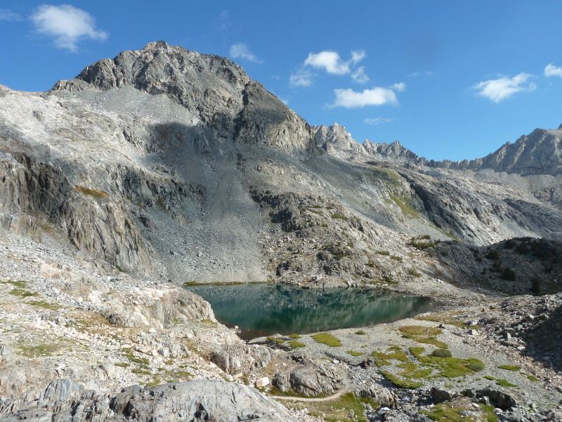
Image
Into the canyon:
Image
And past, the most terrifying of sites to the trail hiker, the Le Conte Rock Monster!!!
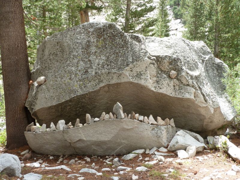
Image
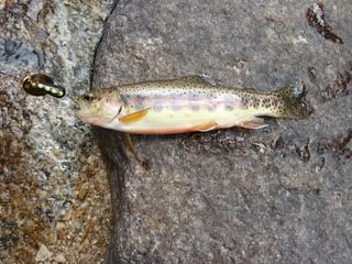
We camped down the trail from the ranger station and I spent the rest of the afternoon looking for gold:
Image
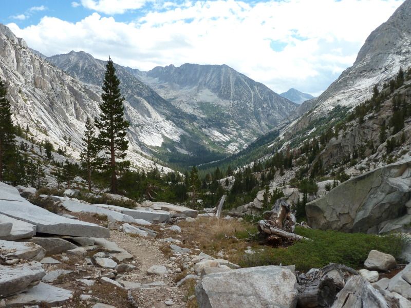
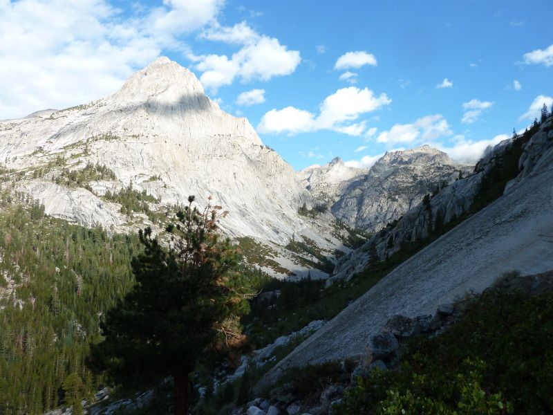
Next morning (Wednesday, August 21) we began our climb out of the canyon and up to Bishop Pass.
Image
Image
As we approached the pass, the mist blew in and it was cold and nasty. Had to put on a layer. None to hospitable. We descended quickly and were soon met by a blast of warm air. We quickly pulled off a couple of layers and scratched our head over the weather. We should know that the blast of hot air would lead to some even nastier weather. When we reach Bishop Lake the rain began, quickly turning to hail. Thunder boomed and yet fools continued to hike up the pass. I am constantly amazed that people will risk electrocution to get over a pass.
We hid under some trees while the thunder boomed and the hail fell. We had hoped to camp at Bishop Lake, but the elements were working against us. After an hour, the rain/hail slacked for a bit and we quickly rolled down the trail, finding Long Lake much more friendly.
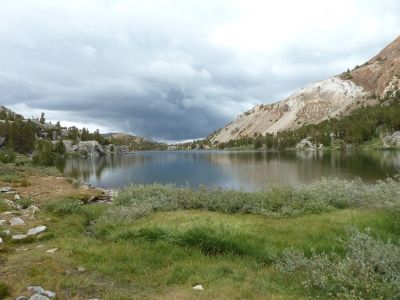
Image
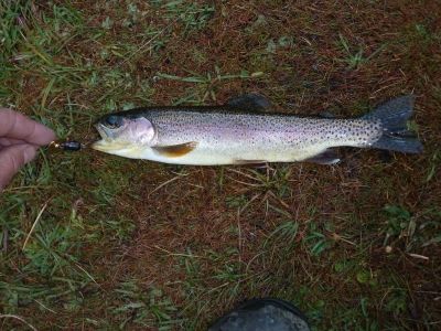
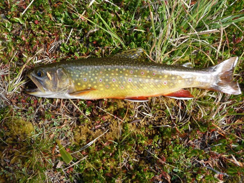
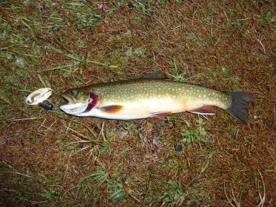
We set up camp and got rained on for dinner. After the rain stopped, I pulled a nice brook and rainbow out of Long Lake.
Image
Image
A young couple pulled in around 6:00 and set up camp next to us. They had attempted the pass and turned around, as wise move. They were cold and wet. They bugged out latter while we slept.
Next morning dawned clear. The look back up the mountains was glorius:
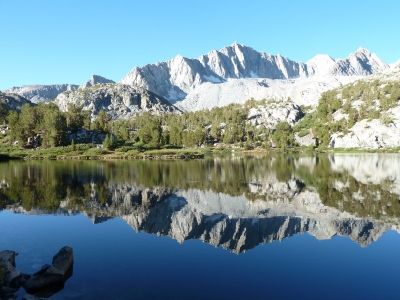
Image
We continued down to Parchers, hopped on the road, and rolled down to the Tyee Lakes TH. The climb as steep, but the view could be good. Image
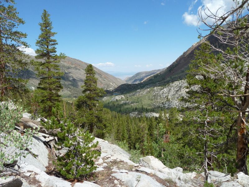
We climbed up to the first Tyee Lake and camped there.
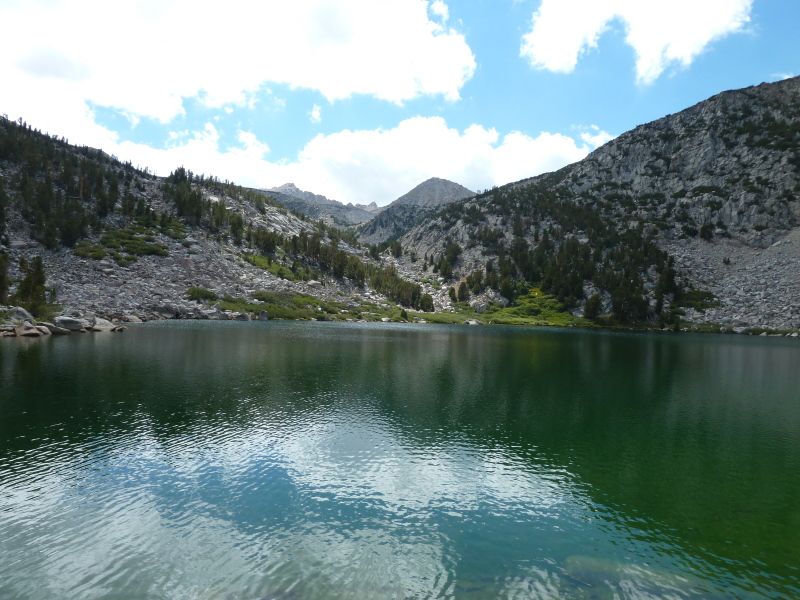
Image
Lots of skinny Brooks.
Image
Next morning we continued up Table Mountain. Here’s the Upper Tyee Lake
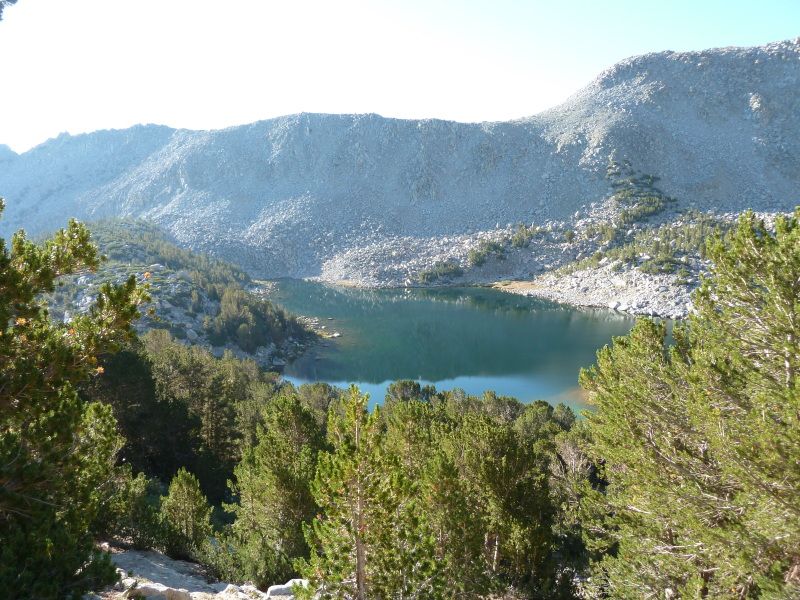
Image
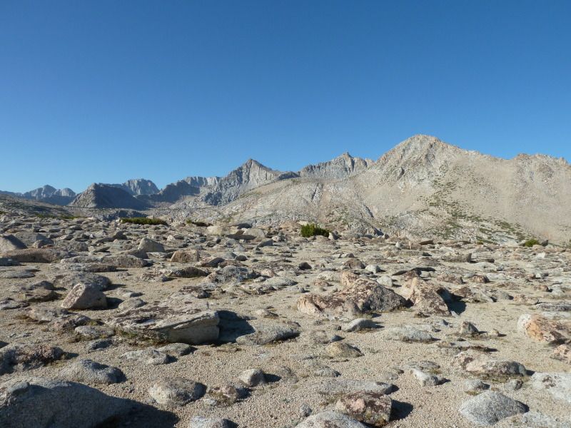
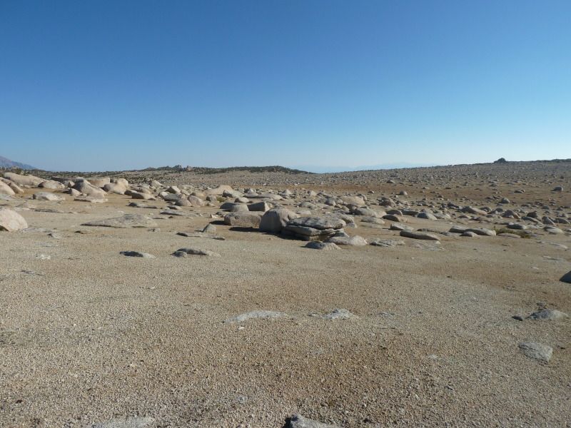
Then, up to the top of Table Mountain:
Image
Image
My GPS shows 11,600 elevation at the Table Mountain Pass.
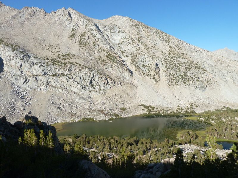
Coming down, we went by George Lake:
Image
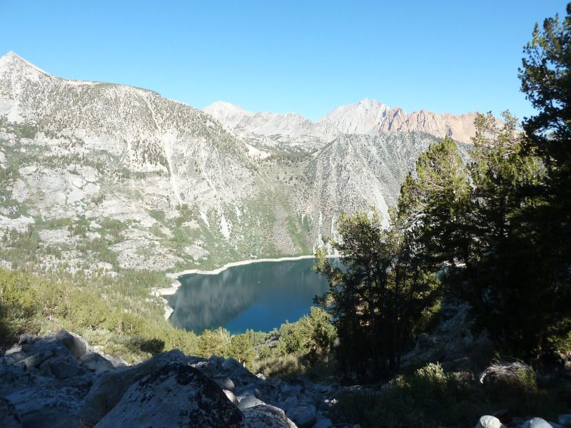
Before dropping down to Lake Sabrina:
Image
Then back to the car at North Lake. Total trip: 70.5 miles
User avatar
justm
Topix Regular
Posts: 333
Joined: Wed May 06, 2009 9:16 am
Experience: N/A

Re: TR North Lake to South Lake 8/17-8/24

Post by justm »

Thanks for that TR !! Love the photos, looks like you had some nice fish to eat, how did you cook them? How did your food hold out?
User avatar
gary c.
Topix Fanatic
Posts: 1479
Joined: Tue Jan 24, 2006 4:56 pm
Experience: N/A
Location: Lancaster, CA

Re: TR North Lake to South Lake 8/17-8/24

Post by gary c. »

It might be the same trek that almost everyone has done but it's still on my list to do. I loved the pictures and thank you for the report.
"On this proud and beautiful mountain we have lived hours of fraternal, warm and exalting nobility. Here for a few days we have ceased to be slaves and have really been men. It is hard to return to servitude."
-- Lionel Terray
User avatar
Ikan Mas
Topix Regular
Posts: 374
Joined: Tue Nov 10, 2009 9:43 pm
Experience: N/A

Re: TR North Lake to South Lake 8/17-8/24

Post by Ikan Mas »

I have a good aluminum frying pan and I brought some olive oil. Made for a nice addition to the meals. Our packed food was in the bear canister. I can get 8 days worth in my BearVault with some effort. Food in my bear canister is by far my heaviest item in my pack.
User avatar
kpeter
Topix Fanatic
Posts: 1450
Joined: Mon Jan 04, 2010 1:11 pm
Experience: Level 3 Backpacker

Re: TR North Lake to South Lake 8/17-8/24

Post by kpeter »

That brings back a lot of memories! I did the exact same complete loop in the same direction, save that I started at South Lake and did Tyee and Table Mountain first instead of last.

viewtopic.php?f=1&t=6758&start=0&hilit=kpeter" onclick="window.open(this.href);return false;

I hardly recognize Table Mountain. When I went over in late July of 2011 it was green or snowy. What a difference a dry season and a few months makes. It is so nice to see the same places under different conditions.

I liked the rock monster! Well done!

Thank you for posting the pics. It was fun to vicariously relive the hike!
User avatar
Bluewater
Topix Expert
Posts: 584
Joined: Sun Oct 23, 2011 3:33 pm
Experience: Level 4 Explorer
Location: Laguna Beach
Contact:

Re: TR North Lake to South Lake 8/17-8/24

Post by Bluewater »

Thanks for your TR and photos! I like the addition of the Tyee Lakes section to complete the loop. I was out in Evolution the following week and we got some exciting lightning storms at Wanda.
User avatar
scrinch
Topix Novice
Posts: 15
Joined: Wed Jan 04, 2012 11:19 am
Experience: N/A

Re: TR North Lake to South Lake 8/17-8/24

Post by scrinch »

Goldfish, thanks for the great report. My son wasn't so lucky when we passed by the LeConte monster in late July!

Image
User avatar
Ikan Mas
Topix Regular
Posts: 374
Joined: Tue Nov 10, 2009 9:43 pm
Experience: N/A

Re: TR North Lake to South Lake 8/17-8/24

Post by Ikan Mas »

Sorry for your loss :D
Kudos for figuring out my handle.
User avatar
scrinch
Topix Novice
Posts: 15
Joined: Wed Jan 04, 2012 11:19 am
Experience: N/A

Re: TR North Lake to South Lake 8/17-8/24

Post by scrinch »

Kudos for figuring out my handle.
I live in Indonesia. Unfortunately I have eaten a lot more ikan mas than trout recently. :(
Post Reply

Who is online

Users browsing this forum: Ballpeen, cjt93, mxoyez and 355 guests