Member descriptions, photos, and map locations of Cross Country Passes in the High Sierra. This forum is for information only - discussions should be kept in the appropriate categories. This forum is a component of the HST Map. We need your help to complete the database, so please contribute!
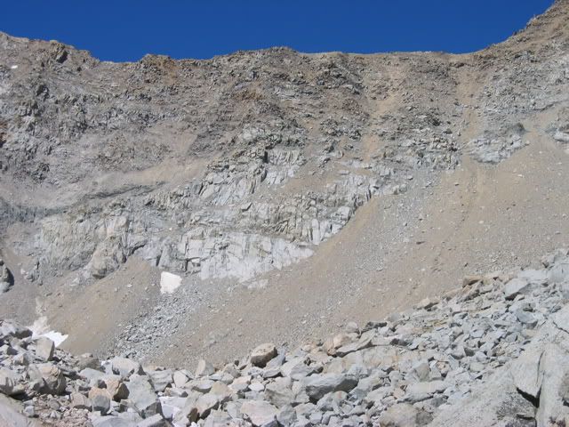
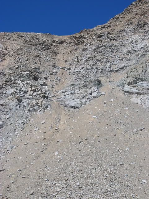
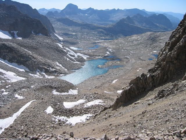
ROUTE DESCRIPTION: From Moonlight hike toward Echo Lake but ascend southwest to the bench high above the lake. Go west to the low point of the saddle south of Mount Wallace. Descend over loose scree and talus, head northwest, and then west, past some benches, and some small meadows to the JMT. Scree is very loose, steep, and tedious, nasty on both sides of this pass, and is very steep near the top.
PHOTOS: Courtesy of Moonwalker
View of the ridge from the east:
View of route over col:
View from the top of col towards the west:
Professional Sierra Landscape Photographer
I don't give out specific route information, my belief is that it takes away from the whole adventure spirit of a trip, if you need every inch planned out, you'll have to get that from someone else.
Have a safer backcountry experience by using the HST ReConn Form 2.0, named after Larry Conn, a HST member:http://reconn.org