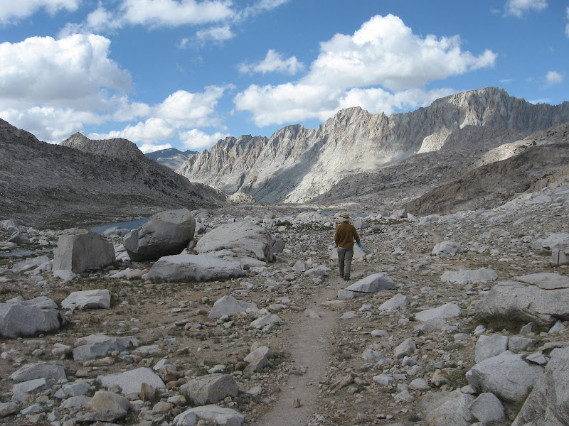
We hiked 10 miles per day for the first 3 days then got slowed by a storm in the Sierra IN AUGUST
Our first night was in the Buttermilks. View is west towards Mt. Humphreys. The Humphreys basin is on the other side of this ridge.

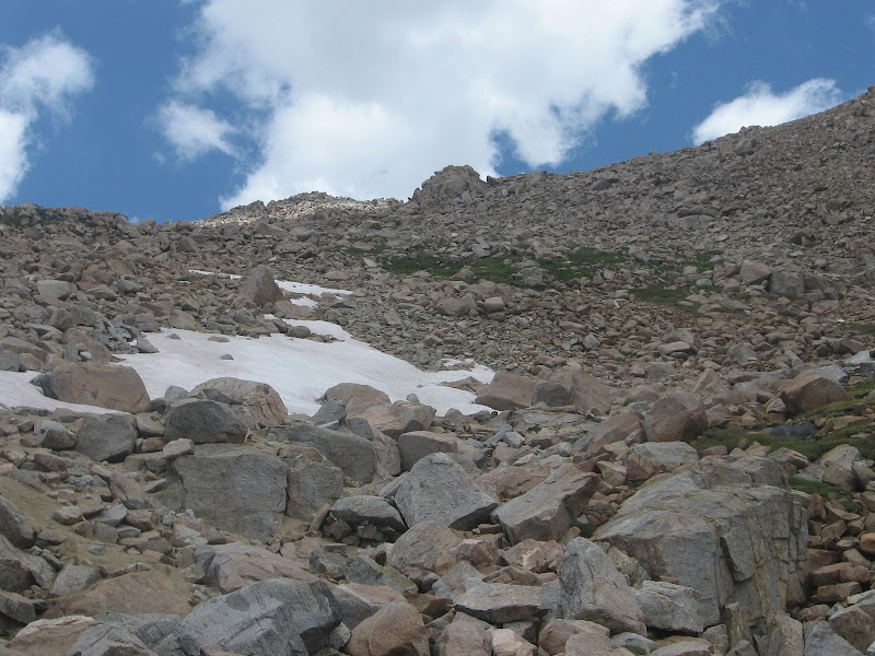
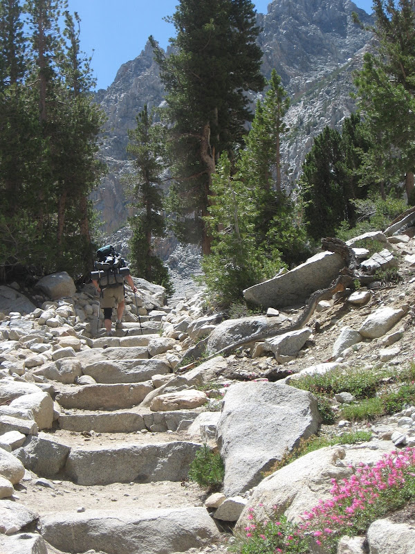
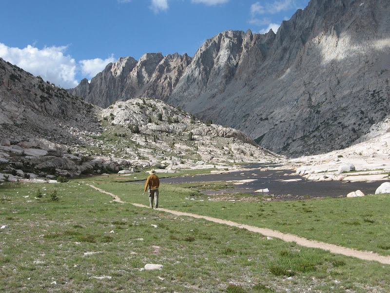
Day one was a trek over Piute Pass into the Humphreys Basin. Piute Pass Trail.
View south down the valley we just hiked up.

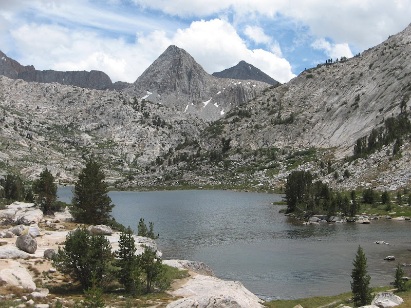
View NW into the Humphreys Basin

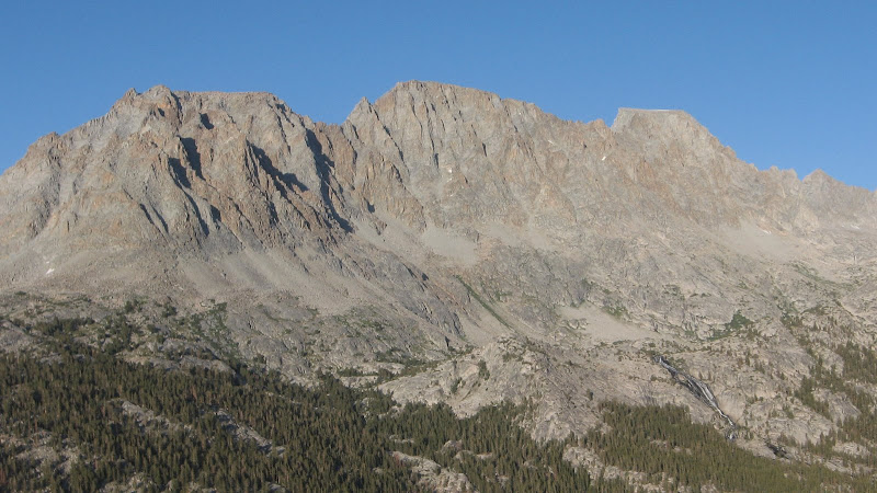
Mt Humphreys from the west.
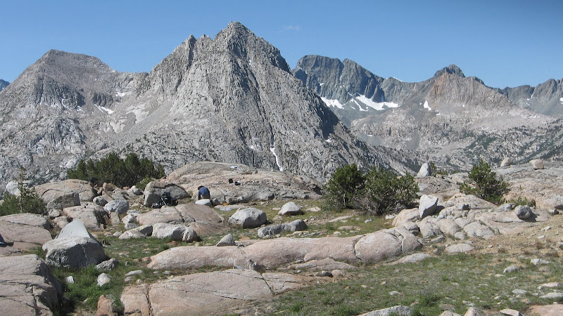
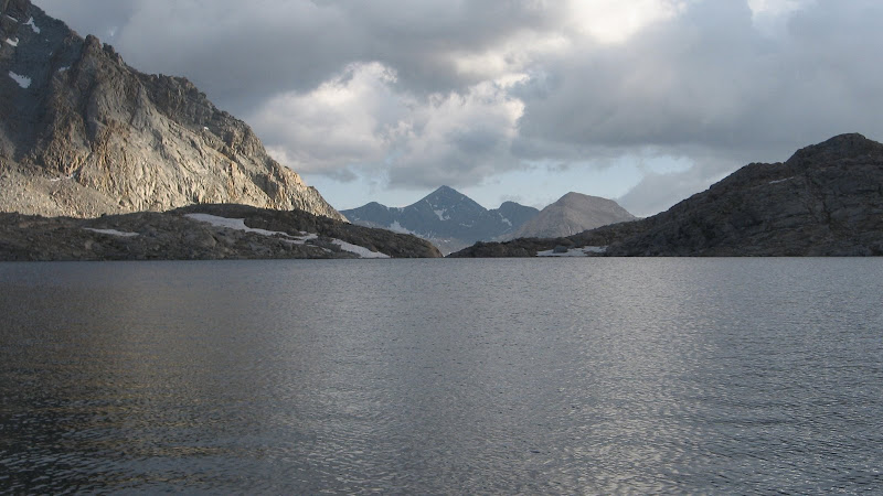
Our camp in the Humphreys Basin. Looking west to the Glacier Divide. We would be on the other side of the divide in 3-4 days.

Another view towards the Glacier Divide.

We spent one night in the Humphreys Basin then traipsed down Piute Canyon till it met the JMT at Godddard Creek. We moseyed down Goddard Creek until we hit the turn for Evolution Meadow and the Evolution Valley.
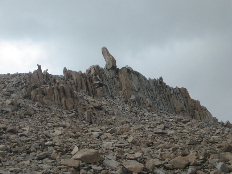
Guess they'll have to change these signs.

We noticed the weather was different than expected for early August, windy with lots of cumulus clouds blowing in from the west so we stopped at the McClure Meadows ranger station to inquire about the weather. Ranger Dave notified us that 1-3 inches of snow were forecast above 10,000 feet in about 36- 48 hours. We were prepared for stormy weather but once above 11,000 feet there ain't much in the way of wind protection and since our plans had us hanging out in the exposed Ionian Basin atop Muir Pass we decided to hang in Colby Meadow until the forecast storm blew over.
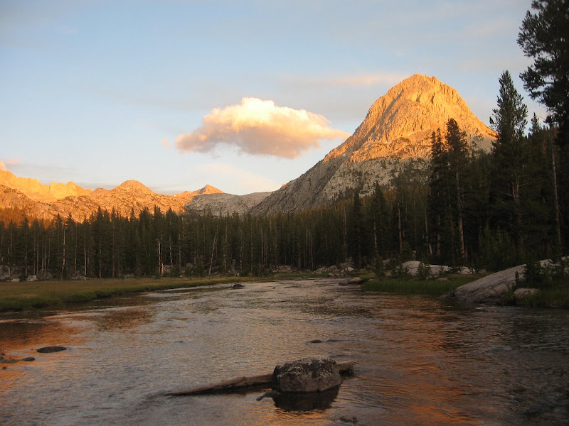
The Hermit from Colby Meadow
The Evolution Range from Colby Meadow
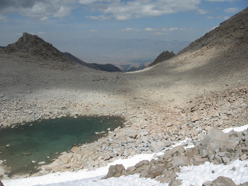
On one of our rest days during the storm break we did a 14 mile hike to Wanda Lake near the Muir Pass. It was cool, dark, and windy but no precip.
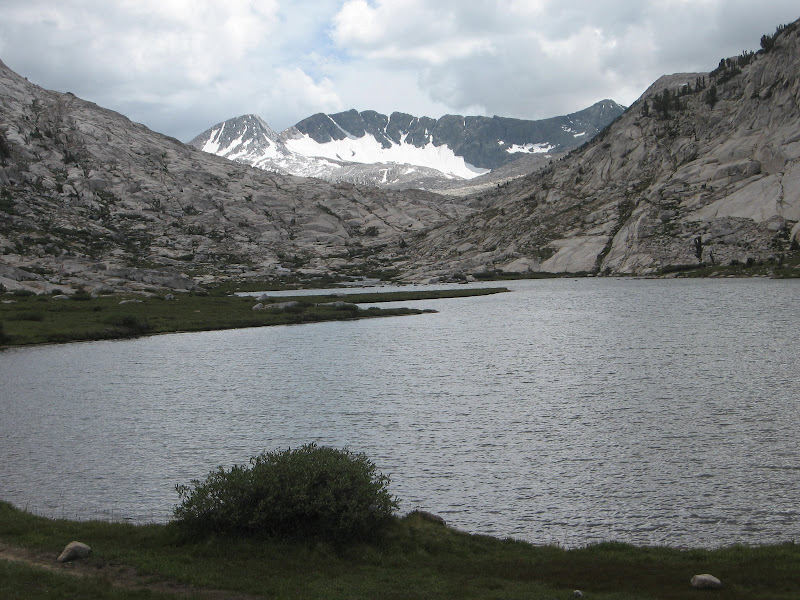
Evolution Lake
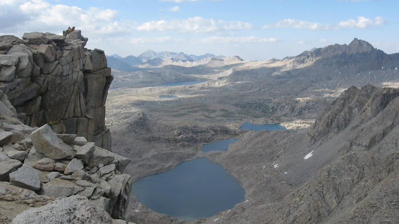
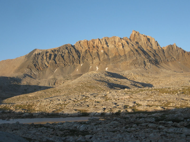
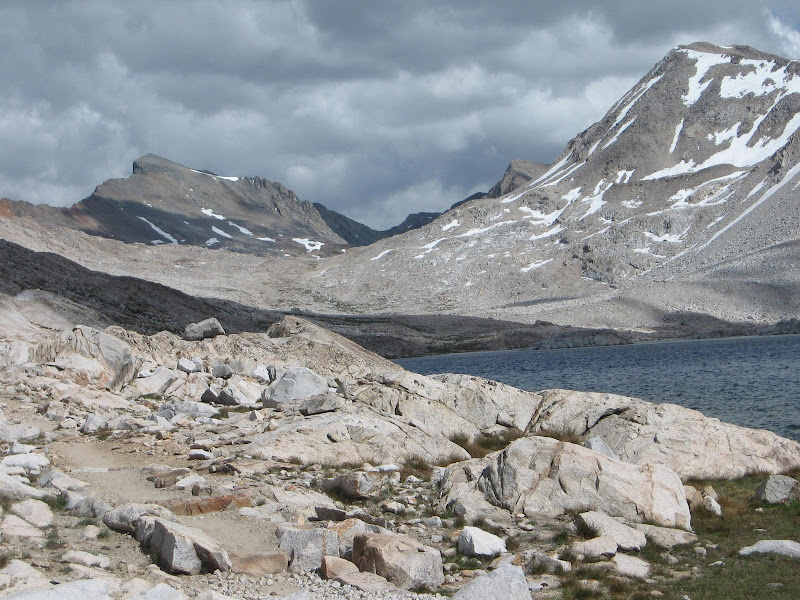
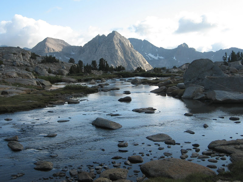
Wanda Lake with the Muir Pass in the distance.
The Goddard Divide, Mt Goddard on right, from the south end of Evolution Lake.
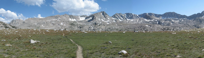
The JMT/PCT heading north through the Evolution Basin.
After 4 days of 10 plus miles per day, 3 with packs, we did a down day on the day it was supposed to storm. We wandered the meadows, snoozed then decided to head up McGee Canyon. Only about 5 miles this day.
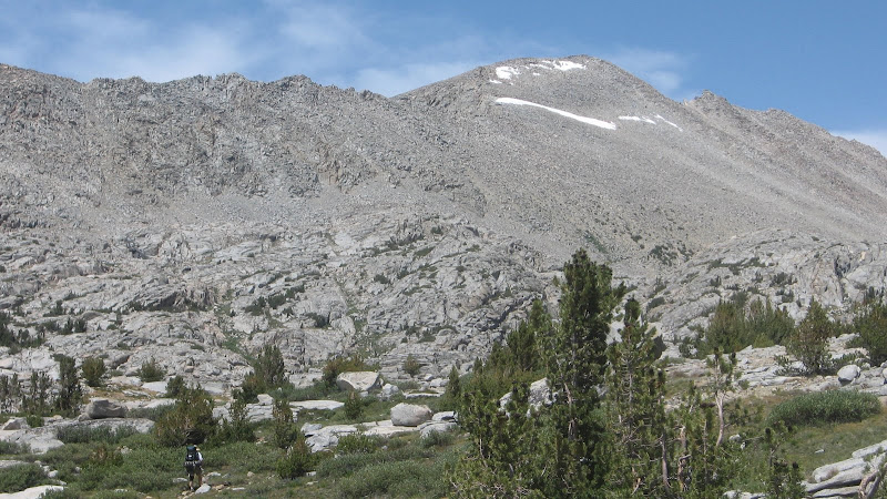
Mt Mendel and Mt Darwin from the McGee Canyon mouth.
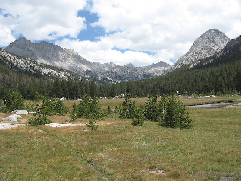
McClure Meadow looking west.
Mt McGee

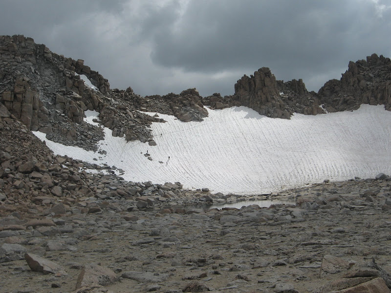
The predicted storm never materialized this far south, just wind and cool temps. Night time lows dropped into the mid to high 20's. I had just purchased a smaller, lighter 30 degree bag for this trip, leaving my 20 degree bag at home, but I was never cold. After 3 nights in Colby Meadow we ventured up to the Darwin Bench for a couple of nights before our departure over the Lamrack Col.
Mt Goddard(center right) and The Hermit(right) from the Darwin Bench

The Hermit from the Darwin Bench
Mt Spencer

Mt Wallace, Evolution Lake, Mt Spencer, and ???

The Hermit with Peter Mt in the background

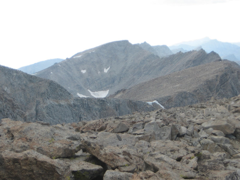
TBC. Mt Goethe and the Lamarck Col