
We arrived at Cottonwood Pass trailhead just before noon on Saturday. Jess, being afraid of heights, wasn't thrilled with the drive up Horseshoe Meadows road. It ascends out of Lone Pine, switchbacking up 5000ft of the steep escarpment of the eastern Sierra.
The flat, sandy trail for the first mile toward Cottonwood Pass was a good warmup for two people who began the day at an elevation of 100ft and were now two miles up at 10,000ft. Once the trail began its ascent to the pass, we quickly realized the effects of the elevation. I had just done this same section of trail in September, and remember thinking how easy the 1200ft gain was. That was at the end of a summer of hiking however, and now on the first Sierra trip of the season, we stopped many times to catch our breath.
After arriving at the top of the pass we headed for Chicken Spring Lake and Rock Creek beyond. There were 3 or 4 people camped at the outlet on the east end of Chicken Spring Lake, which was full, unlike the stagnant pond I encountered last fall.
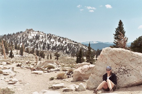
We proceeded on the PCT for a few miles before heading north toward Soldier Lakes. We saw only one other person, a solo guy having dinner and drying out his gear in a meadow. We ate dinner at the junction to New Army Pass and the trail spur to Solider Lakes. Thinking we'd camp at lower Soldier Lake, we spotted some very nice campsites less than 100ft from where we had dinner, and being much more tired than we had planned, decided to stop for the night.
After a cool night where the temperature hovered around 32 degrees, we had a leisurely morning and weren't back on the trail to Soldier Lakes until 10am. Within five minutes we ran into another couple who had very similar plans- Cottonwood Pass to Miter Basin, and back over New Army Pass. We chatted a bit and they said they talked to a guy who had climbed Mt. Langley yesterday, but despite having an ice axe and crampons was forced to detour to Cottonwood because the steep east side of New Army Pass was covered in snow he wasn't comfortable descending.
Having neither an ice axe or crampons we quickly decided New Army Pass was out of the question, and considered our options. I was content to head for Rocky Basin Lakes to the south, but the sight through the trees of the peaks surrounding Miter Basin was too tempting, and we decided to spend the day wandering around the basin.
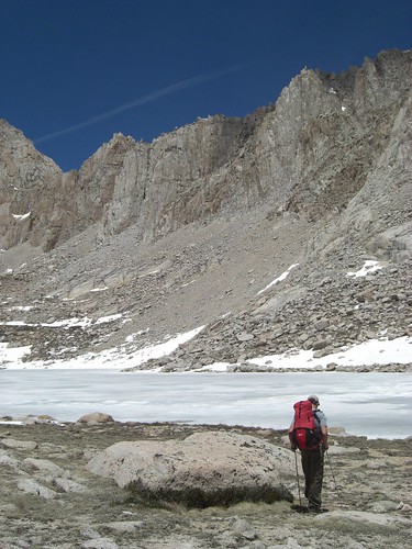
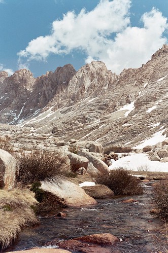
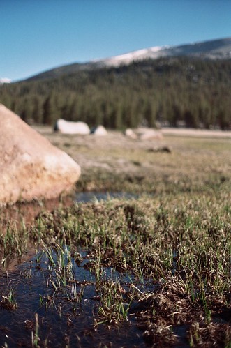
We walked past lower Soldier Lake and climbed the boulders at the north end of lake to access the basin. There was very patchy snow entering the basin but there were creeks and streams flowing everywhere making it hard to believe it was still May. We headed up to Primrose Lake at 11,600ft on the west side of the basin, making bets on whether it would be frozen. Despite the warm weather, Primrose was frozen solid, and sitting below snow covered Mt. Pickering, the scene looked quite wintery.
We at lunch at the lake, but were chased down earlier than we would have liked by a building thunderstorm that appeared out of nowhere.
We stopped to look at some marmot bones, and to watch the trout swim in the wide and shallow upper Rock Creek. We were back at Soldier Lake by 3pm, skirting the rain that appeared to be falling on the east side of the mountains.
We passed by our previous nights campsite and headed for Siberian Outpost. We crossed the desolate flats and met another solo hiker near the Siberian Pass and the Golden Trout Wilderness boundary.
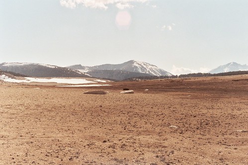
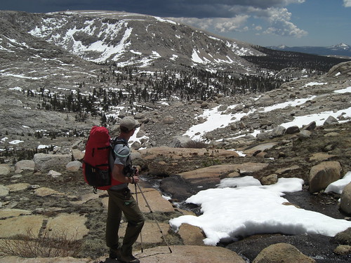
We descended the long stock trail to Big Whitney Meadow, losing the trail a few hundred feet above the meadow. Numerous small creeks run through the huge meadow, and crossing them was difficult as the already soft ground became mud for six feet on either side of the one foot wide streams. After managing to reach an island of forest, we found the rutted trail and continued east.
Around dusk, Jess spotted the Whitney Cabin through the trees. I could tell she was a little creeped out by it, but I made her walk the fifty yards off trail to check it out. Apparently it is only open to snow survey crews, which is too bad because with a wood stove, it would have been an ideal place to spend the chilly spring night. As it was, we found a flat spot in the forest about a quarter mile east of the cabin and settled in for the night.

The next morning we were up by 7, and I made some coffee to get rid of the chill from the night. Although we were over 1,000ft lower than the previous night, my watch again showed 32 degrees. We crossed the smaller meadow just east of Big Whitney, and found ice on the meandering creeks. A large rabbit darted by, pausing only when he believed he was out of sight. Unfortunately for him, his snow white winter coat made him visible a quarter mile away.
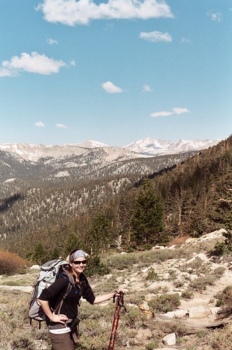
We had a nice walk back up to Cottonwood Pass, now definitely back in the groove of hiking. I think we both wish we could have spent a few more days before returning to civilization. The trail up to the pass gave us some unexpected and amazing views of the Great Western Divide. We stopped for just a minute to take some pictures from the pass, then descended to the car, and home.
Photos are here: http://www.flickr.com/photos/travistetz ... 837321728/" onclick="window.open(this.href);return false;


