I stitched together portions of the Sierra High Route, South Sierra High Route, Kings Canyon High Basin Route along with some of my favorite cross country alternatives to create a cross country traverse of the High Sierra. The route started at the Twin Lakes trailhead near Bridgeport in the northern Sierra and ended at Whitney Portal via the Mountaineers Route.
In the end I climbed 25 High Sierra Passes over 257 miles in 22 days. I started preparing for the trip in January and followed Alan Dixon’s training program up to the start in July. Some of the climbs and long days were more challenging than I anticipated and the fields of wild flowers at the beginning almost derailed the whole trip. Although I planned on climbing 31 passes over 295 miles I had to skip the sections from the Lyell Fork to Mammoth and Ionian Basin due to allergies. Fortunately I was able to re-energize during a zero day and get back into the wilderness to finish the route.
For the whole story including route details, map, photos and gear list check out:
http://seatosummitultralight.blogspot.c ... -high.html
Mt. Ansel Adams from the HST Meetup Camp #3:
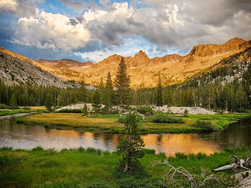
Morning reflection on Laurel Creek:
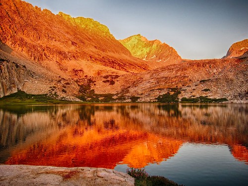
Alpenglow from Lower Mills Creek Lake:
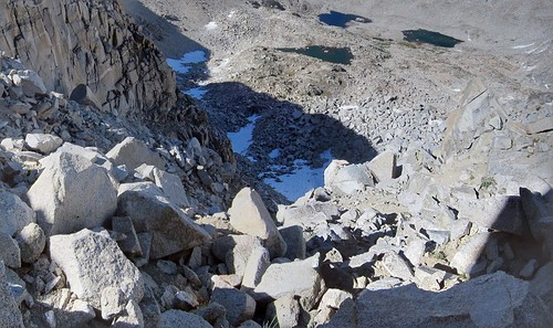
Looking back down the steep north side of Snow Tongue Pass:
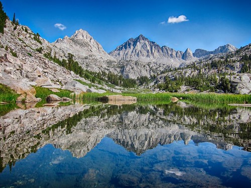
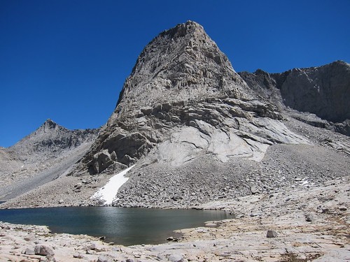
Larry Conn memorial lake:
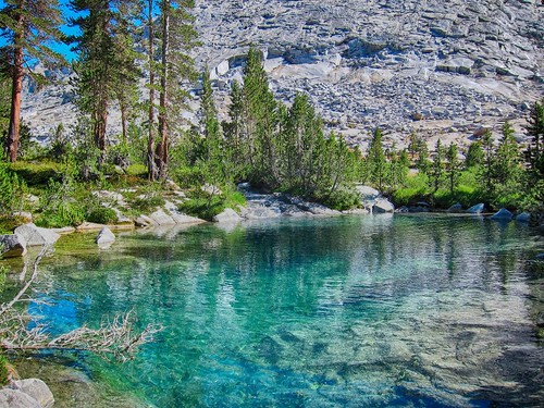
Mysterious emerald pools: