What makes this trip so memorable was the combination of grand views, gentle terrain, and a surprising amount of solitude (seeing no one during my 48-hour stay in Pioneer Basin).
I hope you enjoy the report.
Day One: Mosquito Flat TH to Fourth Recess Lake
I leave San Jose at 5 a.m. on a Thursday morning, stopping for my usual mediocre breakfast at the Waffle Factory in Escalon (cash only). I enjoy the local farmer banter in the early morning hours. I’m not in Silicon Valley anymore.
I decide to cross the Sierra on Highway 108 instead my usual Highway 120. I feel like the only one on the road as I make my way through Emigrant. I stop at the Sonora Pass parking lot and dream about hiking the PCT or TTY trail someday.
I pickup my permit at Mono Lake and I’m at the Mosquito Flat trailhead by noon. I begin hiking and feel that familiar exhilaration as I take those first few steps of another trip.
On the way to Mono Pass I enjoy the views of Little Lakes Valley and Bear Creek Spire.
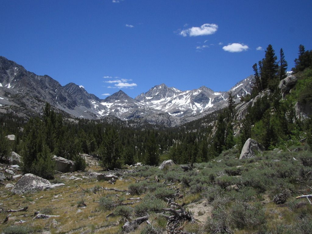
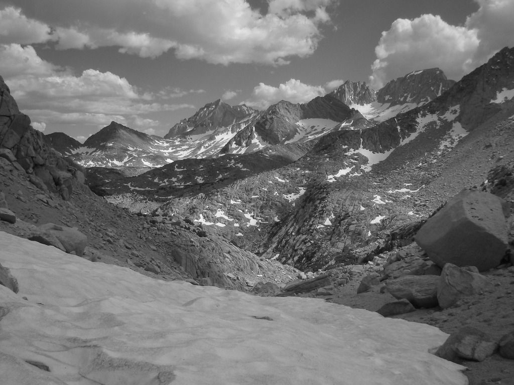
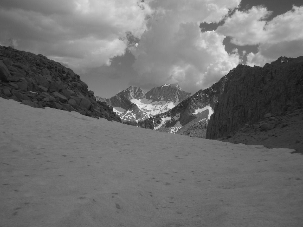
Being the first time traveling from sea level to 12,000 feet in eight hours, I step slowly, deliberately, and steadily.
At Mono Pass I rest, and within minutes I feel anxious. A familiar phenomenon. My heart rate is elevated due to the altitude, but my body’s at rest. This startles the mind, which elevates the heart rate. A feedback loop. Awareness helps, and any discomfort is gone as soon as I begin hiking again.
I recall descriptions of Mono Pass as "viewless" but I disagree. To the south I see the peaks of Bear Creek Spire and Mt. Abbott (which is still holding some snow). To the north is Summit Lake and the ridge above Golden Creek. More vistas are slowly revealed as I hike north through the sandy saddle. I appreciate the subtle and nuanced terrain.
I stop at the Trail Lakes snow survey cabin and consider camping there, but instead head down to Fourth Recess Lake to watch the alpenglow on the ridge east of the Recess. Stepping down the rock-strewn horse trail, I land awkwardly and at one step I roll my ankle a bit. I initially blame this on my new pair of Patagonia Drifters (lows), but quickly realize that I’m not actually watching my steps. This often happens when I’m fatigued and thinking too much about “getting there.” Stepping mindfully - what a concept.
I camp at a nice spot on the west side of Fourth Recess Lake. The mosquitos welcome me home. I cover up with sleeves, gloves and a head net and collapse on the fisherman's trail. I watch the last of the alpenglow on the ridge east of the lake.
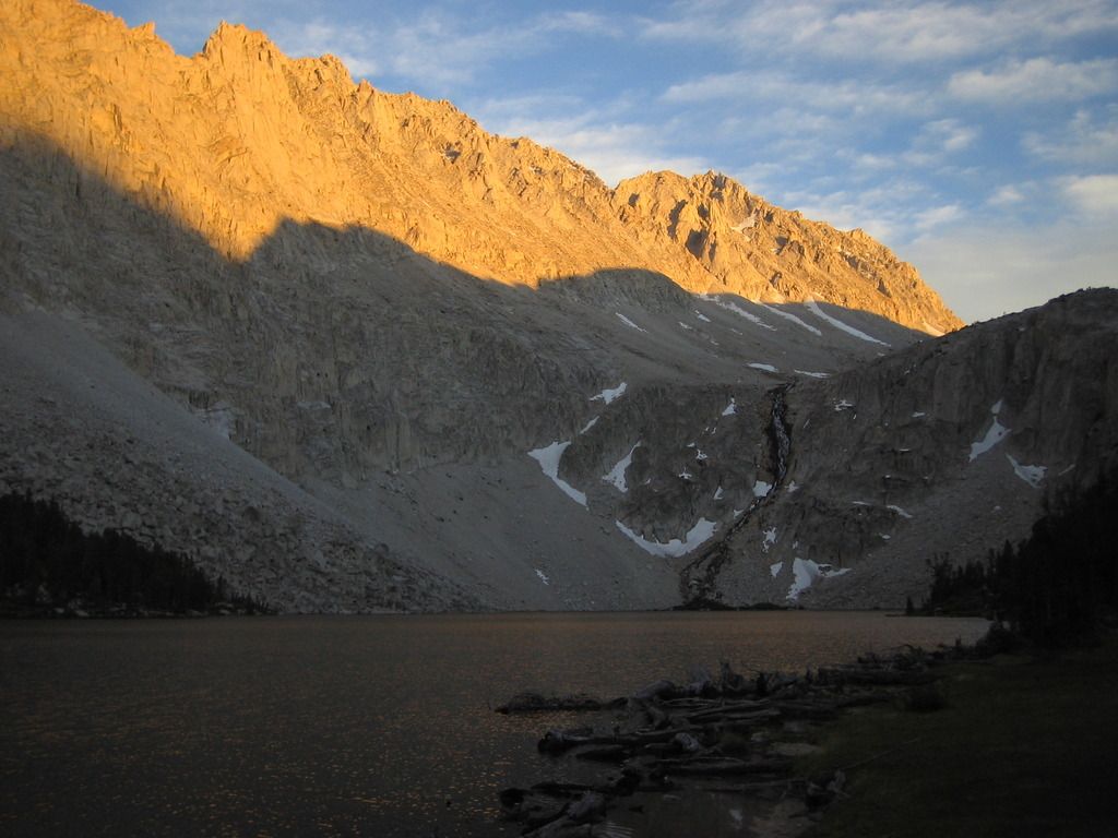
Day Two: Fourth Recess Lake to "Lake 10918"
I sleep in thanks to that east ridge shadow. I’m surprised at how well I slept, unusual for the first night of a trip. I sit at the lake with my coffee and then stroll along the fisherman's trail before breaking camp.
I pack up and head over to Pioneer Basin, the primary destination for this trip. I choose the trail to the west side of the Basin. As I walk along the shoreline of the lakes I often stop and turn around to enjoy the views of the Fourth and Third Recesses and Mono Rock to the south. Mt. Mills, with its northern glacier, stands proudly above them.
Phil Arnot led me here and I’m carrying a printout of his writings. Through his eyes I see the cirque and glacier on the northern side of Mt. Hopkins slowly reveal themselves.
Soon I’m on the sandy benches north of Lake 10862. It’s starting to rain, and I’m strangely welcoming it.
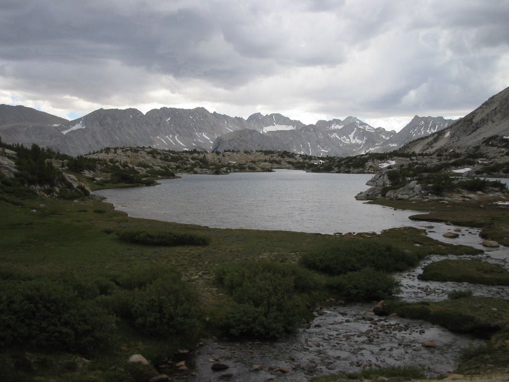
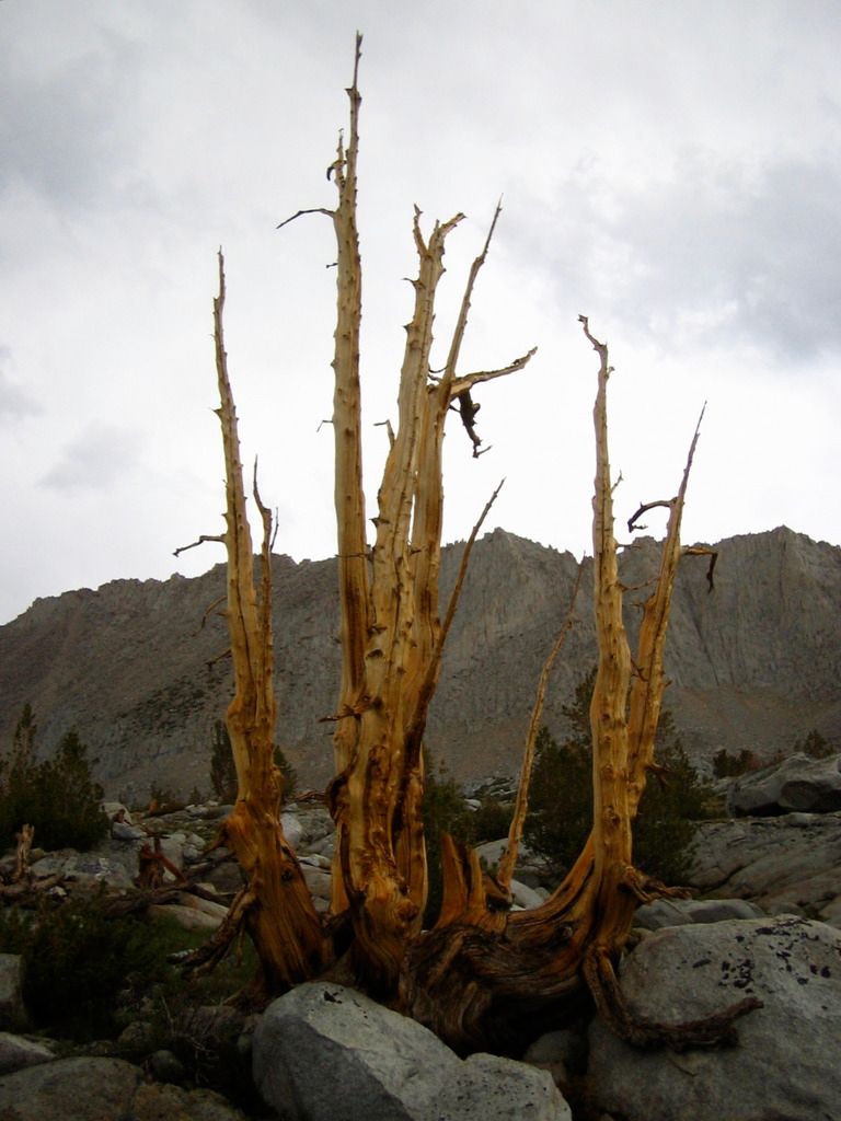
Arnot’s adoration for the largest of the four lakes directly to the west of Mt. Huntington lead me there. I cross easy terrain and pass some whitebark krumholtz.
The lake, which I unofficially name Lake 10918, is small, private and has great unobstructed views into the Recesses, including a view of Fourth Recess Lake.
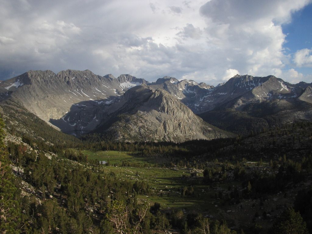
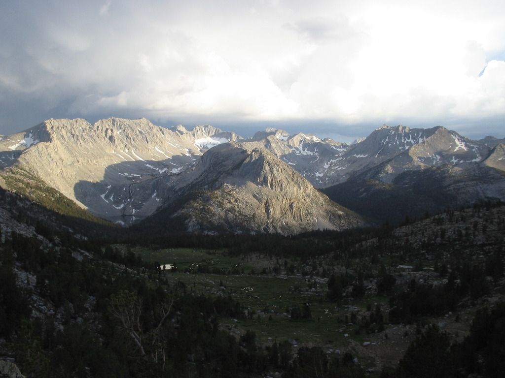
I spend a lot of time searching for an ideal site to camp. I want "the best" site and am therefore not content with any of them. I'm expecting an epic and unobstructed view, but many of the sites are surrounded by white barks and there just aren't many flat and clear areas to set up. I simply pick the best one. I have the entire lake to myself so it really doesn't matter where I sleep as long as I'm comfortable.
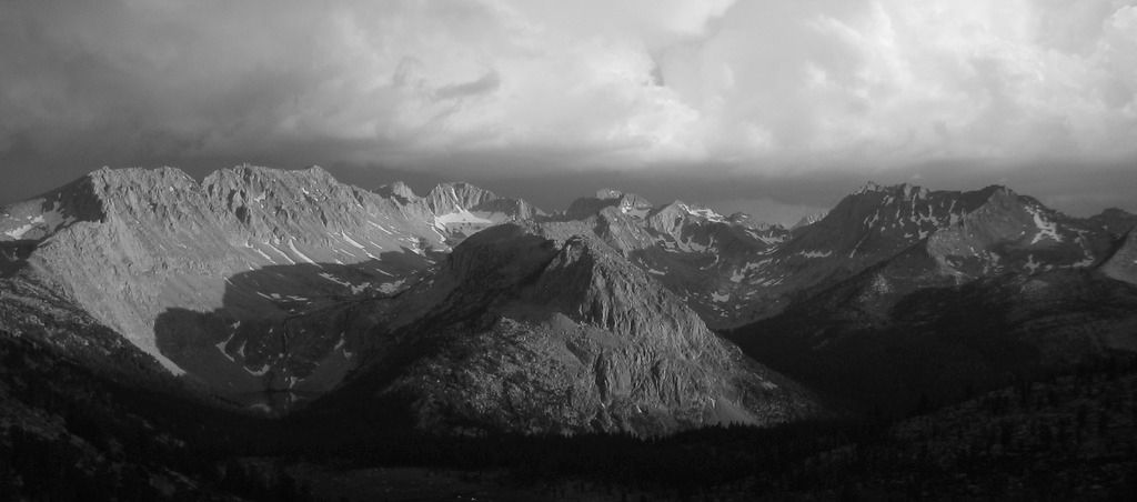
It rains intermitantly until about 7 p.m. I enjoy watching the ever-shifting cloud formations.
Day Three: "Lake 10918" to Lake 10862
After a terrible night's sleep, I awake and plan to take a rest day. My camera battery’s dead. I attempt to sit and observe the entire day pass, but by noon restlessness had won. Time to see more of this gentle basin.
I slowly walk up to the highest and easternmost lake. On its north shore is a fine granite-sand beach. It was hot and sunny, so I step away from the lake, washed off my sunscreen and Deet, jump in. I feel my heart skip a beat from the instant chill. A few seconds later I’m back on the shore.
I make my way up the northern ridge of the Basin up to Stanford Col. The view of the steep talus down to Steelhead Lake looked stark and inhabitable. I see rainclouds the distance above the colorful metamorphic terrain near McGee Pass Trail.
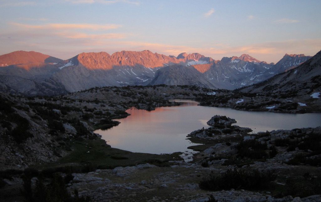
I head down to the northern end of Lake 10862, right at the site I had visited before I decided to head over to the other lake. I gaze at the impressive cirque and north face of Mt. Hopkins and the tips of its fractured granite columns catching the sunlight. I’m still the only one in the Basin and I realized that this is exactly where I want to be for the rest of my stay. I hurry over to my campsite, pack up, and set up here for the night.
I spend the last night of the trip on this open bench with a full panorama view of the four mountains surrounding the Basin as well as that great view to the south. Mt. Mills, Mt. Abbot behind it, Mt. Gabb.
At alpenglow I grab the camera and find I have just enough battery juice for one last shot.
Day Four: Lake 10862 to Mosquito Flat TH
On the last day I quickly hike back to the trailhead, seeing more people in six hours than I had the previous three days.

